2025 Map of Withlacoochee Bay OE S
USGS Topo · Published 2025About this map
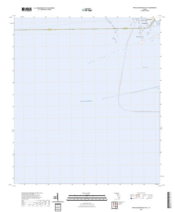
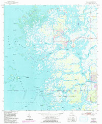
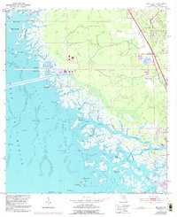
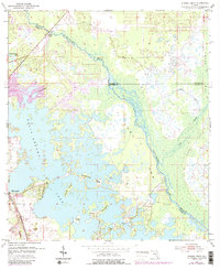
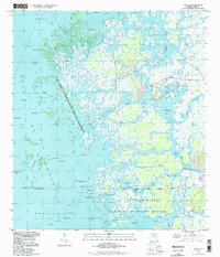
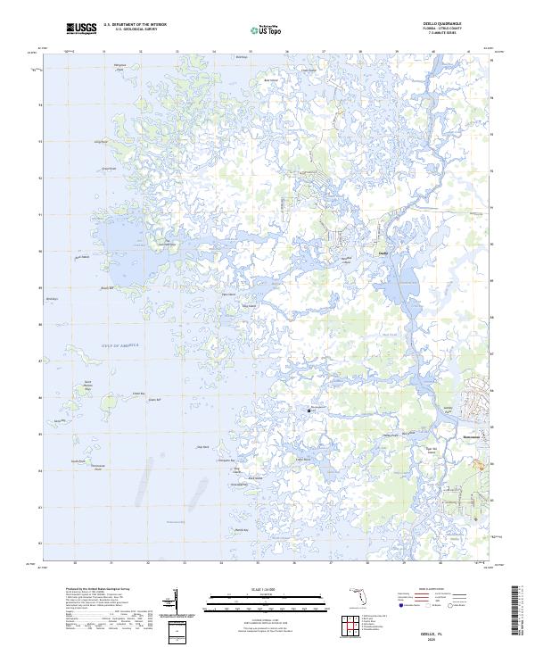
Yankeetown and Port Inglis anchor the northeastern corner of this coastal survey, where the terrestrial landscape of Florida gives way to the open Gulf of America. The boundary between Levy Co and Citrus Co runs westward across a series of small islands and marshy outcrops, including Chambers Island and the uniquely named Deadman Key. This area is characterized by intricate tidal waterways such as Bungalow Pass and East Pass, which provide essential maritime access for small craft navigating the transition from riverine environments to the gulf. Further south, the map is dominated by the expanse of open water, marked primarily by the Florida Circumnavigational Paddling Trail Trl, a route that traces the state’s wilder coastline through features like Doghead Gap.
Find a feature on this map
10 named features on this map. Tap any name to fly to it.
Don’t see what you’re looking for? This feature index may not catch every label — zoom into the map to look around manually.
Map Details
Editions of this 2025 Withlacoochee Bay OE S Map
This is the sole edition of this map. No revisions or reprints were ever made.
Historical Maps of Yankeetown Through Time
13 maps found
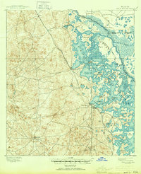
1895 Tsala Apopka
Citrus County, FL
1954 Brooksville NW
Citrus County, FL
1954 Holder
Citrus County, FL
1954 Ozello
Citrus County, FL
1954 Red Level
Citrus County, FL
1954 Stokes Ferry
Citrus County, FL
1994 Ozello
Citrus County, FL
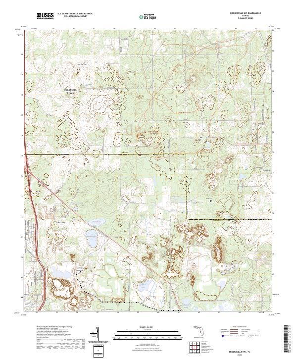
2024 Brooksville NW
Citrus County, FL
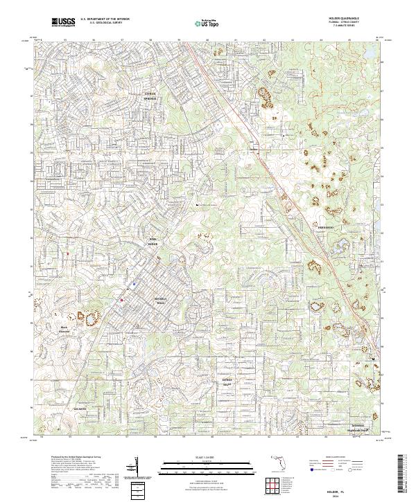
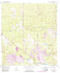
2024 Holder
Citrus County, FL
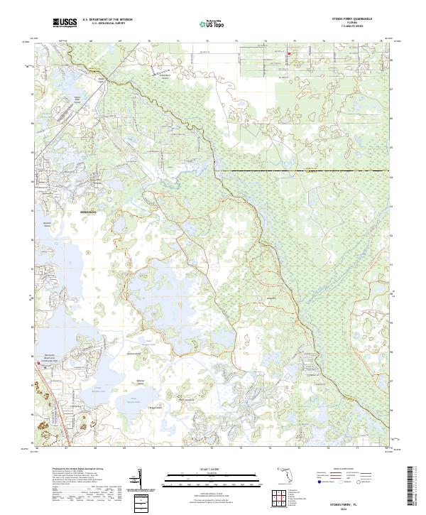
2024 Stokes Ferry
Citrus County, FL
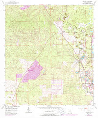
2025 Ozello
Citrus County, FL
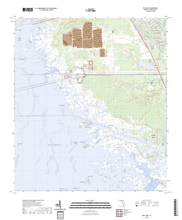
2025 Red Level
Citrus County, FL
2025 Withlacoochee Bay OE S
Citrus County, FL