2000s (21st Century) Maps of Islamorada, Florida
Explore 20 historic maps of Islamorada from the 2000s (21st Century). These maps offer a rare glimpse into what life looked like during the 2000s — showing old roads, neighborhoods, homes, and landmarks that have changed or disappeared over time.
Whether you're researching your family's past, planning a metal detecting trip, or studying how Islamorada's landscape evolved across the 2000s, these high-resolution maps are a powerful tool for exploring the history of this region.
- Focus on a specific era: All maps on this page are from the 2000s, giving you a focused view of this time period.
- See what’s changed: Compare century-old streets, trails, and buildings to today's modern landscape using overlays and satellite layers.
- Research with precision: Use these maps for genealogy, historical research, land use analysis, or educational projects.
- View, download, or print: Maps are fully viewable online in high resolution, and can be downloaded or printed for your own records.
Start exploring Islamorada's history through authentic maps from the 2000s. This is your window into the past.
Islamorada, FL maps
(20)- 2012 Map of Plantation Key, 2012 Print
 2012 Plantation Key2012 Print · USGSCovers Islamorada, including Plantation Key Colony, Plantation Key, and other nearby areas
 - 2012 Map of Upper Matecumbe Key, 2012 Print
 2012 Upper Matecumbe Key2012 Print · USGSCovers Islamorada, including Matecumbe, Monroe County, and other nearby areas
 - 2012 Map of Lower Matecumbe Key, 2012 Print
 2012 Lower Matecumbe Key2012 Print · USGSCovers Islamorada, including Lower Matecumbe Beach, Monroe County, and other nearby areas
 - 2012 Map of Tavernier, 2012 Print
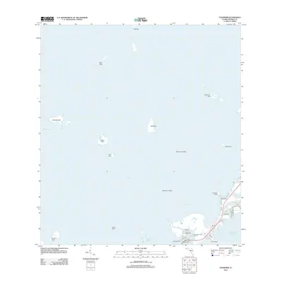 2012 Tavernier2012 Print · USGSCovers Islamorada, including Tavernier, Monroe County, and other nearby areas
 - 2015 Map of Lower Matecumbe Key, 2015 Print
 2015 Lower Matecumbe Key2015 Print · USGSCovers Islamorada, including Lower Matecumbe Beach, Monroe County, and other nearby areas
 - 2015 Map of Upper Matecumbe Key, 2015 Print
 2015 Upper Matecumbe Key2015 Print · USGSCovers Islamorada, including Matecumbe, Monroe County, and other nearby areas
 - 2015 Map of Plantation Key, 2015 Print
 2015 Plantation Key2015 Print · USGSCovers Islamorada, including Plantation Key Colony, Plantation Key, and other nearby areas
 - 2015 Map of Tavernier, 2015 Print
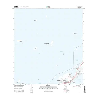 2015 Tavernier2015 Print · USGSCovers Islamorada, including Tavernier, Monroe County, and other nearby areas
 - 2018 Map of Tavernier, 2018 Print
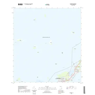 2018 Tavernier2018 Print · USGSCovers Islamorada, including Tavernier, Monroe County, and other nearby areas
 - 2018 Map of Lower Matecumbe Key, 2018 Print
 2018 Lower Matecumbe Key2018 Print · USGSCovers Islamorada, including Lower Matecumbe Beach, Monroe County, and other nearby areas
 - 2018 Map of Plantation Key, 2018 Print
 2018 Plantation Key2018 Print · USGSCovers Islamorada, including Plantation Key Colony, Plantation Key, and other nearby areas
 - 2018 Map of Upper Matecumbe Key, 2018 Print
 2018 Upper Matecumbe Key2018 Print · USGSCovers Islamorada, including Matecumbe, Monroe County, and other nearby areas
 - 2021 Map of Lower Matecumbe Key, 2021 Print
 2021 Lower Matecumbe Key2021 Print · USGSCovers Islamorada, including Lower Matecumbe Beach, Monroe County, and other nearby areas
 - 2021 Map of Tavernier, 2021 Print
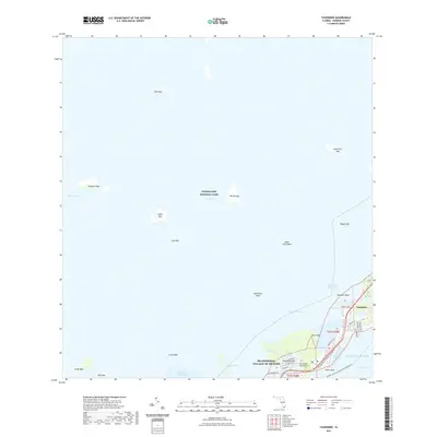 2021 Tavernier2021 Print · USGSCovers Islamorada, including Tavernier, Monroe County, and other nearby areas
 - 2021 Map of Plantation Key, 2021 Print
 2021 Plantation Key2021 Print · USGSCovers Islamorada, including Plantation Key Colony, Plantation Key, and other nearby areas
 - 2021 Map of Upper Matecumbe Key, 2021 Print
 2021 Upper Matecumbe Key2021 Print · USGSCovers Islamorada, including Matecumbe, Monroe County, and other nearby areas
 - 2024 Map of Upper Matecumbe Key, 2024 Print
 2024 Upper Matecumbe Key2024 Print · USGSThe Florida Keys at the southern tip of the peninsula are mapped here with a focus on Islamorada and the surrounding waters. Trace modern paths like the Overseas Heritage Trl alongside historical markers like Indian Key and Teatable Key.
 - 2024 Map of Lower Matecumbe Key, 2024 Print
 2024 Lower Matecumbe Key2024 Print · USGSLower Matecumbe Key is shown in modern detail as a center for island life and maritime transit. Trace the local streets of Islamorada, Village of Islands and find the South Islamorada Underwater Coral Gardens just offshore in the Hawk Channel.
 - 2024 Map of Plantation Key, 2024 Print
 2024 Plantation Key2024 Print · USGSThe Florida Keys at the southern tip of the peninsula are mapped here in detail, showcasing the settlements and coral reefs of Monroe County. Researchers can trace the path of the Old Overseas Highway across Plantation Key or locate the Plantation Key Government Center.
 - 2024 Map of Tavernier, 2024 Print
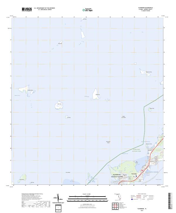 2024 Tavernier2024 Print · USGSThe Florida Keys are captured here in contemporary detail, showing the developed corridor of Tavernier and Islamorada. Trace residential growth along Plantation Ave and explore the backcountry waters of the Marjory Stoneman Douglas Wilderness.
End of results
Showing maps 1-20 of 20
Top cities near Islamorada
Top neighborhoods of Islamorada
Frequently asked questions
- What are the different types of historical maps available for Islamorada?
- What is the oldest map of Islamorada?
- Where can I purchase historical maps of Islamorada for my home or office?
- Where can I download high-res historical maps of Islamorada?
- Are there historical topographic maps available for Islamorada?
- Is there historical aerial imagery available for Islamorada?
- Where are historical maps of Islamorada sourced from?