2010s Maps of Islamorada, Florida
Explore 12 historic maps of Islamorada from the 2010s. These maps offer a rare glimpse into what life looked like during the 2010s — showing old roads, neighborhoods, homes, and landmarks that have changed or disappeared over time.
Whether you're researching your family's past, planning a metal detecting trip, or studying how Islamorada's landscape evolved across the 2010s, these high-resolution maps are a powerful tool for exploring the history of this region.
- Focus on a specific era: All maps on this page are from the 2010s, giving you a focused view of this time period.
- See what’s changed: Compare century-old streets, trails, and buildings to today's modern landscape using overlays and satellite layers.
- Research with precision: Use these maps for genealogy, historical research, land use analysis, or educational projects.
- View, download, or print: Maps are fully viewable online in high resolution, and can be downloaded or printed for your own records.
Start exploring Islamorada's history through authentic maps from the 2010s. This is your window into the past.
Islamorada, FL maps
(12)- 2012 Map of Plantation Key, 2012 Print
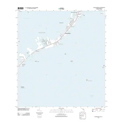 2012 Plantation Key2012 Print · USGSThe Upper Florida Keys are captured here in the early twenty-first century, showing the dense island settlements and navigational networks of the region. Trace local landmarks like the Plantation Key Seaplane Base and the offshore Islamorada Underwater Coral Gardens.
 - 2012 Map of Upper Matecumbe Key, 2012 Print
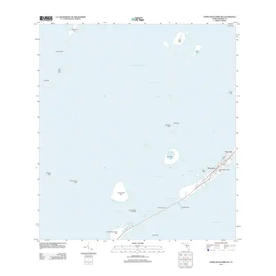 2012 Upper Matecumbe Key2012 Print · USGSThe Florida Keys at the start of the 2010s are defined by the narrow ribbon of development through Islamorada and Matecumbe. Map collectors and local researchers can trace the coastal layout of Upper Matecumbe Key, Indian Key, and the unique topography of The Hok.
 - 2012 Map of Lower Matecumbe Key, 2012 Print
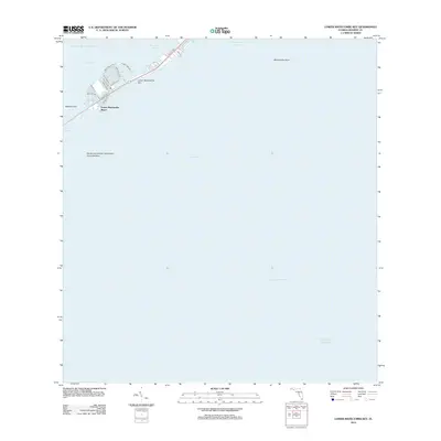 2012 Lower Matecumbe Key2012 Print · USGSLower Matecumbe Key is captured here in the early twenty-first century, showing the concentration of island life along the highway corridor. Researchers can trace local street layouts like El Capitan Dr or locate maritime landmarks including Matecumbe Harbor and the South Islamorada Underwater Coral Gardens.
 - 2012 Map of Tavernier, 2012 Print
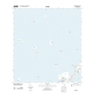 2012 Tavernier2012 Print · USGSThe Florida Keys shoreline comes into focus in the early 2010s, showing a landscape defined by maritime activity and aviation. Trace local infrastructure from Tavernaero Park Airport to the waterways of Tavernier Harbor and Ramshorn Cut.
 - 2015 Map of Lower Matecumbe Key, 2015 Print
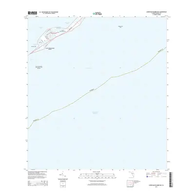 2015 Lower Matecumbe Key2015 Print · USGSThe Florida Keys shoreline comes into focus during this mid-decade survey of the island chain. Researchers can trace the layout of waterfront neighborhoods along Ponce De Leon Blvd and explore the protected South Islamorada Underwater Coral Gardens.
 - 2015 Map of Upper Matecumbe Key, 2015 Print
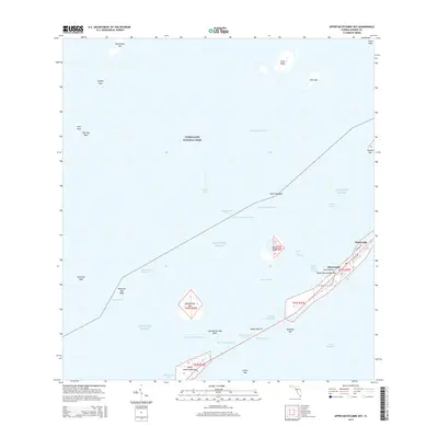 2015 Upper Matecumbe Key2015 Print · USGSIslamorada and the surrounding Florida Keys are documented here in the mid-2010s, showing the delicate balance between island development and the protected waters of Everglades National Park. Trace the historic path of the Old Hwy across Upper Matecumbe Key or locate the channels surrounding Lignumvitae Key and Teatable Key.
 - 2015 Map of Plantation Key, 2015 Print
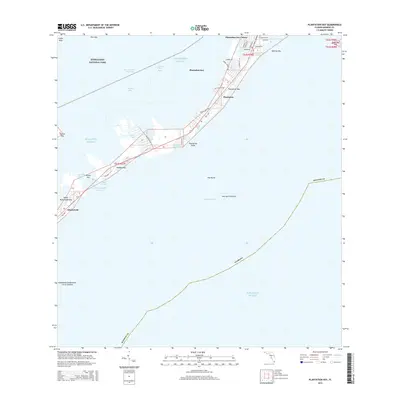 2015 Plantation Key2015 Print · USGSThe Florida Keys are captured here in a period of modern coastal living and marine preservation. Researchers can trace the layout of island communities like Plantation Key Colony or explore the channels around Windley Key and Snake Creek.
 - 2015 Map of Tavernier, 2015 Print
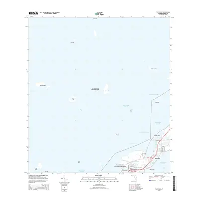 2015 Tavernier2015 Print · USGSThe Florida Keys during the mid-2010s reveal a landscape of interconnected island communities and managed maritime channels. Trace the residential growth of Tavernier and Hammer Point alongside the protected waters of Everglades National Park.
 - 2018 Map of Tavernier, 2018 Print
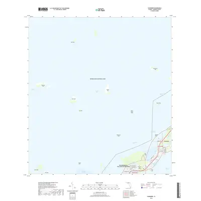 2018 Tavernier2018 Print · USGSThe upper Florida Keys are captured here in the late 2010s, showing the island communities of Tavernier and Plantation Key. Researchers can trace the coastal development of Islamorada, including Tavernier Harbor and Tavernaero Park Airport.
 - 2018 Map of Lower Matecumbe Key, 2018 Print
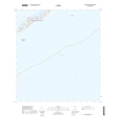 2018 Lower Matecumbe Key2018 Print · USGSLower Matecumbe Key was a developed maritime community in the Florida Keys during the late twenty-tens. Modern residents and navigators can trace the street layouts of Islamorada and locate coastal features like Matecumbe Harbor and the South Islamorada Underwater Coral Gardens.
 - 2018 Map of Plantation Key, 2018 Print
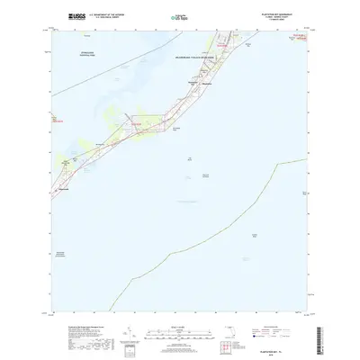 2018 Plantation Key2018 Print · USGSThe Florida Keys are captured here in the late twenty-teens, showing the dense settlement of the Village of Islands. Marine historians and local researchers can trace the Intracoastal Waterway past Plantation Key or locate features like the Islamorada Underwater Coral Gardens.
 - 2018 Map of Upper Matecumbe Key, 2018 Print
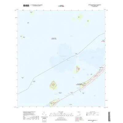 2018 Upper Matecumbe Key2018 Print · USGSUpper Matecumbe Key and the village of Islamorada are shown here in the late 2010s, illustrating the unique island geography of the Florida Keys. Local historians can trace the road network from Old Hwy to the Indian Key Fill and locate offshore landmarks like Lignumvitae Key and Indian Key.
End of results
Showing maps 1-12 of 12
Top cities near Islamorada
Top neighborhoods of Islamorada
Frequently asked questions
- What are the different types of historical maps available for Islamorada?
- What is the oldest map of Islamorada?
- Where can I purchase historical maps of Islamorada for my home or office?
- Where can I download high-res historical maps of Islamorada?
- Are there historical topographic maps available for Islamorada?
- Is there historical aerial imagery available for Islamorada?
- Where are historical maps of Islamorada sourced from?