2020s Maps of Nassau County, Florida
Explore 42 historic maps of Nassau County from the 2020s. These maps offer a rare glimpse into what life looked like during the 2020s — showing old roads, neighborhoods, homes, and landmarks that have changed or disappeared over time.
Whether you're researching your family's past, planning a metal detecting trip, or studying how Nassau County's landscape evolved across the 2020s, these high-resolution maps are a powerful tool for exploring the history of this region.
- Focus on a specific era: All maps on this page are from the 2020s, giving you a focused view of this time period.
- See what’s changed: Compare century-old streets, trails, and buildings to today's modern landscape using overlays and satellite layers.
- Research with precision: Use these maps for genealogy, historical research, land use analysis, or educational projects.
- View, download, or print: Maps are fully viewable online in high resolution, and can be downloaded or printed for your own records.
Start exploring Nassau County's history through authentic maps from the 2020s. This is your window into the past.
Nassau County, FL maps
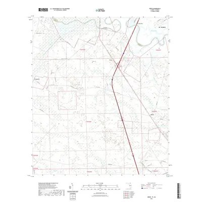
(42)- 2020 Map of Kingsland, 2020 Print
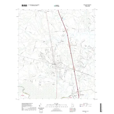 2020 Kingsland2020 Print · USGSCovers Nassau County, including St. Marys, Kingsland, and other nearby areas
 - 2020 Map of Toledo, 2020 Print
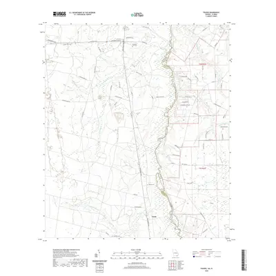 2020 Toledo2020 Print · USGSCovers Nassau County, including Toledo, Charlton County, and other nearby areas
 - 2020 Map of Macclenny NE, 2020 Print
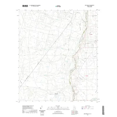 2020 Macclenny NE2020 Print · USGSCovers Nassau County, including Stokesville, Charlton County, and other nearby areas
 - 2020 Map of Folkston, 2020 Print
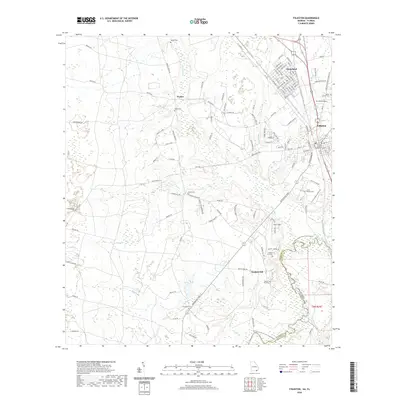 2020 Folkston2020 Print · USGSCovers Nassau County, including Folkston, Homeland, and other nearby areas
 - 2020 Map of Saint George, 2020 Print
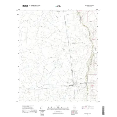 2020 Saint George2020 Print · USGSCovers Nassau County, including Saint George, Clarking, and other nearby areas
 - 2020 Map of Saint Marys, 2020 Print
 2020 Saint Marys2020 Print · USGSCovers Nassau County, including St. Marys, Chester, and other nearby areas
 - 2021 Map of Amelia City, 2021 Print
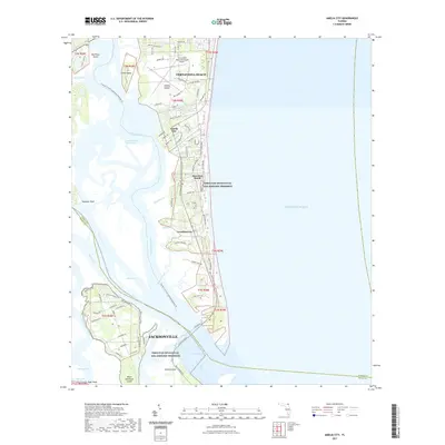 2021 Amelia City2021 Print · USGSCovers Nassau County, including Jacksonville, Franklintown, and other nearby areas
 - 2021 Map of Boulogne, 2021 Print
 2021 Boulogne2021 Print · USGSCovers Nassau County, including Folkston, Colerain, and other nearby areas
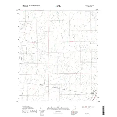
 - 2021 Map of Hilliard, 2021 Print
 2021 Hilliard2021 Print · USGSCovers Nassau County, including Hilliard, United States, and other nearby areas
 - 2021 Map of Gross, 2021 Print
 2021 Gross2021 Print · USGSCovers Nassau County, including St. Marys, Gross, and other nearby areas
 - 2021 Map of Macclenny East, 2021 Print
 2021 Macclenny East2021 Print · USGSCovers Nassau County, including Jacksonville, Macclenny, and other nearby areas
 - 2021 Map of Baldwin, 2021 Print
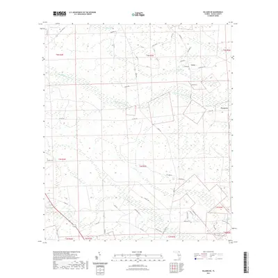
 2021 Baldwin2021 Print · USGSCovers Nassau County, including Jacksonville, Baldwin, and other nearby areas
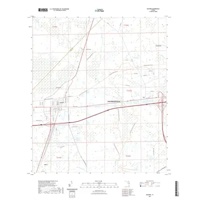
 - 2021 Map of Callahan, 2021 Print
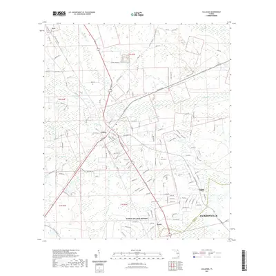 2021 Callahan2021 Print · USGSCovers Nassau County, including Jacksonville, Callahan, and other nearby areas
 - 2021 Map of Hilliard SW, 2021 Print
 2021 Hilliard SW2021 Print · USGSCovers Nassau County, including Crawford, Kent, and other nearby areas
 - 2021 Map of Bryceville, 2021 Print
 2021 Bryceville2021 Print · USGSCovers Nassau County, including Jacksonville, Verdie, and other nearby areas
 - 2021 Map of Dinsmore, 2021 Print
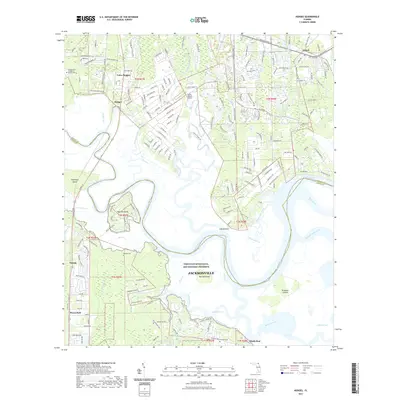
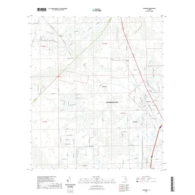 2021 Dinsmore2021 Print · USGSCovers Nassau County, including Jacksonville, Plummer, and other nearby areas
 - 2021 Map of Italia, 2021 Print
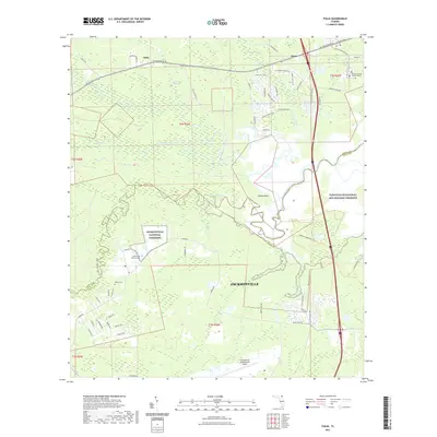 2021 Italia2021 Print · USGSCovers Nassau County, including Jacksonville, Joels Landing, and other nearby areas
 - 2021 Map of Hilliard NE, 2021 Print
 2021 Hilliard NE2021 Print · USGSCovers Nassau County, including Lessie, Evergreen, and other nearby areas
 - 2021 Map of Fernandina Beach, 2021 Print
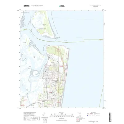 2021 Fernandina Beach2021 Print · USGSCovers Nassau County, including Fernandina Beach, Dungeness, and other nearby areas
 - 2021 Map of Kings Ferry, 2021 Print
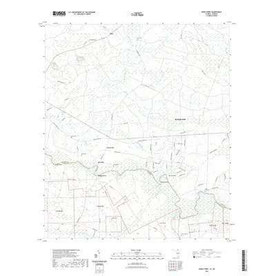 2021 Kings Ferry2021 Print · USGSCovers Nassau County, including Kingsland, Clarks Bluff, and other nearby areas
 - 2021 Map of Hedges, 2021 Print
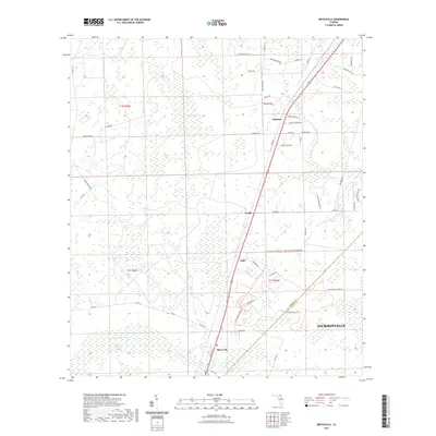
 2021 Hedges2021 Print · USGSCovers Nassau County, including Jacksonville, Yulee Heights, and other nearby areas
 - 2024 Map of Macclenny NE, 2024 Print
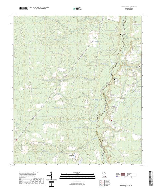 2024 Macclenny NE2024 Print · USGSCoastal plain wetlands and the winding Saint Marys River define this Georgia-Florida borderland in the modern era. Researchers can trace rural lineages through Emmaus Cem and Stokesville, while mapping the drainage patterns of Trail Ridge.
 - 2024 Map of Toledo, 2024 Print
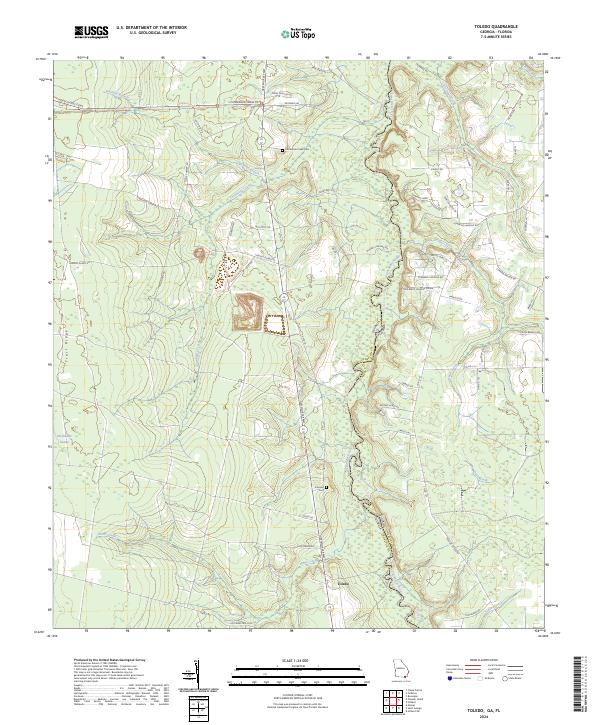 2024 Toledo2024 Print · USGSThe Georgia-Florida borderlands near the Okefenokee Swamp are captured here in the early twenty-first century, showing the intersection of conservation lands and rural river life. Researchers can locate family landmarks like Johnson Cem and Cornhouse Creek Cem or trace the winding course of the Saint Marys River.
 - 2024 Map of Saint George, 2024 Print
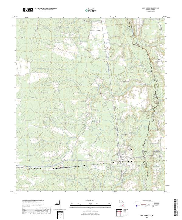 2024 Saint George2024 Print · USGSThe Georgia-Florida borderlands near the Saint Marys River come into focus in this recent survey. Genealogists and local historians can trace family-named sites like Jim Crawford Loop and burial grounds including Saint George Cem and Conner-Green Cem.
 - 2024 Map of Baldwin, 2024 Print
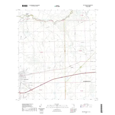
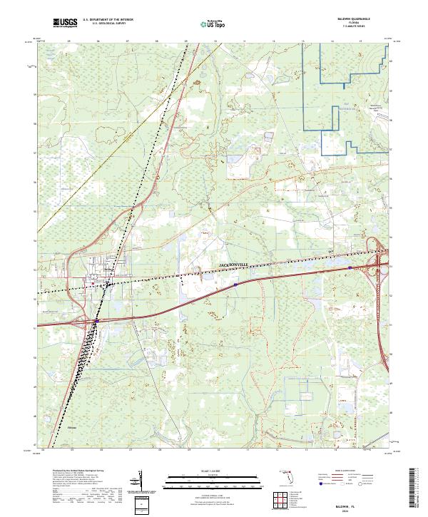 2024 Baldwin2024 Print · USGSWestern Duval County is shown here in the mid-2020s, centered on the rail-and-road junction of Baldwin. Local historians can trace the paths of the Jacksonville Baldwin Rail Trl and Old Plank Rd, or locate the Whitehouse Naval Outlying Field.
Showing maps 1-25 of 42
Top cities of Nassau County
Frequently asked questions
- What are the different types of historical maps available for Nassau County?
- What is the oldest map of Nassau County?
- Where can I purchase historical maps of Nassau County for my home or office?
- Where can I download high-res historical maps of Nassau County?
- Are there historical topographic maps available for Nassau County?
- Is there historical aerial imagery available for Nassau County?
- Where are historical maps of Nassau County sourced from?