2020s Maps of Brantley County, Georgia
Explore 28 historic maps of Brantley County from the 2020s. These maps offer a rare glimpse into what life looked like during the 2020s — showing old roads, neighborhoods, homes, and landmarks that have changed or disappeared over time.
Whether you're researching your family's past, planning a metal detecting trip, or studying how Brantley County's landscape evolved across the 2020s, these high-resolution maps are a powerful tool for exploring the history of this region.
- Focus on a specific era: All maps on this page are from the 2020s, giving you a focused view of this time period.
- See what’s changed: Compare century-old streets, trails, and buildings to today's modern landscape using overlays and satellite layers.
- Research with precision: Use these maps for genealogy, historical research, land use analysis, or educational projects.
- View, download, or print: Maps are fully viewable online in high resolution, and can be downloaded or printed for your own records.
Start exploring Brantley County's history through authentic maps from the 2020s. This is your window into the past.
Brantley County, GA maps
(28)- 2020 Map of Browntown, 2020 Print
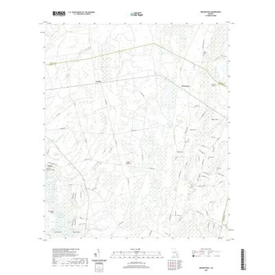 2020 Browntown2020 Print · USGSSoutheast Georgia's river-bottom lands and timbered hammocks are mapped here in the early twenty-first century. Genealogists and local historians can trace family ties at Little Memorial Cemetery or locate old homesteads near Fendig and Zetser Hammock.
 - 2020 Map of Nahunta, 2020 Print
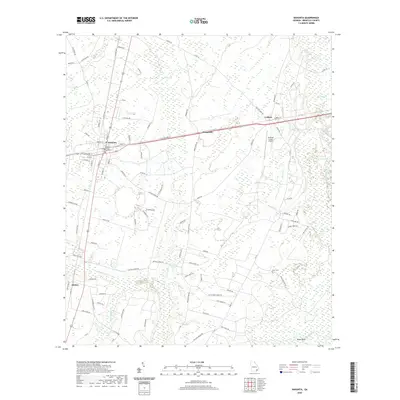 2020 Nahunta2020 Print · USGSBrantley County, Georgia, at the start of the 2020s shows the enduring character of its rural crossroads and river-bottom lands. Local researchers can trace the streets of Nahunta or locate the Knox Cem and the landings at Bules Bluff along the Satilla River.
 - 2020 Map of Hoboken West, 2020 Print
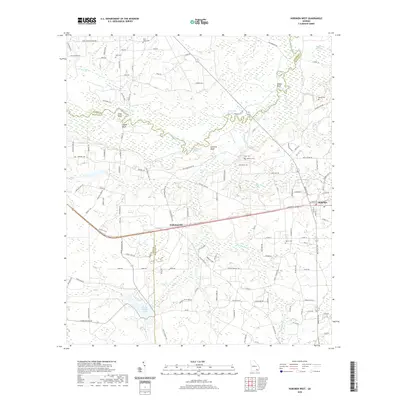 2020 Hoboken West2020 Print · USGSBrantley and Ware Counties are documented here in the early twenty-first century as the Satilla River winds through the coastal plain. Genealogists can locate several family-named landmarks and burial sites, from Hickox's Cem to the bluffs at Higans Bluff.
 - 2020 Map of Winokur, 2020 Print
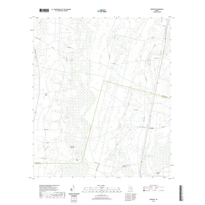 2020 Winokur2020 Print · USGSBrantley and Charlton counties are documented here in the early twenty-first century, showcasing the wetland landscape of the Georgia coastal plain. Genealogists and local historians can trace family road names and remote landmarks like Winokur, White Oak Hammock, and Briar Island.
 - 2020 Map of Waycross East, 2020 Print
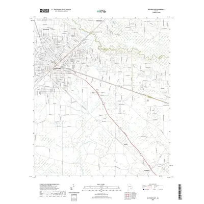 2020 Waycross East2020 Print · USGSWaycross and the Satilla River basin are captured here in the modern era, showing the intersection of urban growth and coastal plain wetlands. Researchers can locate family landmarks such as Hazzard Hill Cem and Oakland Cem, or trace the rural routes through Astoria and Braganza.
 - 2020 Map of Fort Mudge, 2020 Print
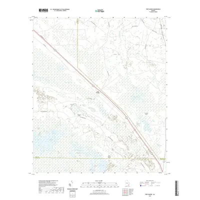 2020 Fort Mudge2020 Print · USGSSoutheast Georgia's wetland frontier is captured here as it appeared in recent years, where the upland forests meet the Great Okefenokee. Researchers can trace the edges of the swamp through family-named landmarks like Cowhouse Island and the rural roads around Fort Mudge.
 - 2020 Map of Blackshear East, 2020 Print
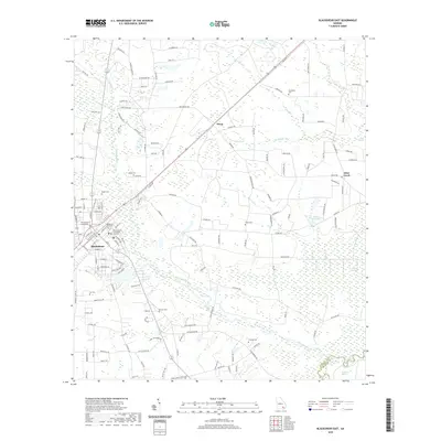 2020 Blackshear East2020 Print · USGSBlackshear and the lowlands of Pierce County are captured here in the modern era, showing a landscape shaped by the Alabaha River. Local historians can trace family roots through numerous sites like Shiloh Cem, Ivy Cem, and the Pierce County Courthouse.
 - 2020 Map of Patterson SE, 2020 Print
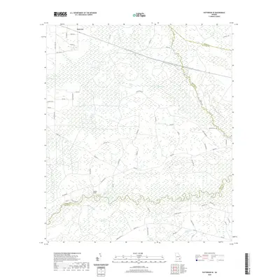 2020 Patterson SE2020 Print · USGSCoastal Georgia's riverine lowlands come into focus in this recent survey of the Pierce and Brantley county borderlands. Researchers can locate the Raulerson Cem and trace the paths of old roads like Trudie Rd as they navigate around Knocknocker Swamp and Indian Bluff.
 - 2020 Map of Hoboken East, 2020 Print
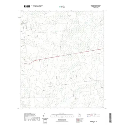 2020 Hoboken East2020 Print · USGSBrantley County at the start of the 2020s shows a landscape of expansive wetlands and timberlands centered around Hoboken. Researchers can trace local lineage at Spring Hill Cem or explore the geography of Kneeknocker Swamp and Buck Island.
 - 2020 Map of Thalmann, 2020 Print
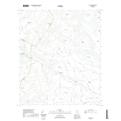 2020 Thalmann2020 Print · USGSCoastal Georgia's inland borderlands come into focus in the early twenty-first century, showing the small communities of Thalmann and Jamaica. Researchers can locate several family burial grounds, such as Popwell Cem and Whitaker Hill Cem, tucked among the island hammocks.
 - 2020 Map of Waynesville, 2020 Print
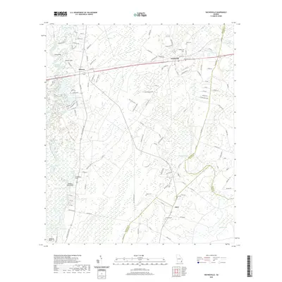 2020 Waynesville2020 Print · USGSSoutheast Georgia's river-bottom timberlands and rural communities are captured here in the contemporary era. Researchers can trace family history through numerous documented sites like Highsmith Cem, Wiggens Cem, and the riverfront at Lord King Bluff.
 - 2020 Map of Hortense, 2020 Print
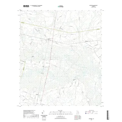 2020 Hortense2020 Print · USGSSoutheast Georgia river life is centered here along the winding Satilla River just before the turn of the decade. Researchers can trace rural family sites at Satilla Cem and Baxter Cem, or locate landmarks like Humpback Bridge and Trudie.
 - 2020 Map of Tarboro, 2020 Print
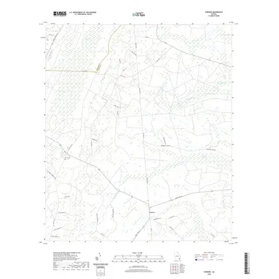 2020 Tarboro2020 Print · USGSCamden County, Georgia, is shown in recent detail at the edge of the coastal wetlands. Genealogists can locate family-named landmarks like Victory Cem, Harrell Cem, and numerous rural routes including Old Post Rd and Butler Johnson Rd.
 - 2020 Map of Boons Lake, 2020 Print
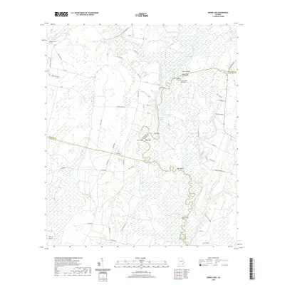 2020 Boons Lake2020 Print · USGSThe Satilla River floodplain comes into sharp focus in this recent survey of the Brantley and Camden County borderlands. Genealogists and local historians can trace family roots near Big Oak or locate the Bethlehem Cem and Dowling Cem.
 - 2024 Map of Fort Mudge, 2024 Print
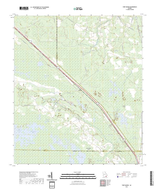 2024 Fort Mudge2024 Print · USGSSoutheast Georgia’s wetland interior comes into focus here, where the settlement of Fort Mudge meets the edge of the great swamp. Researchers can trace the boundaries of the Okefenokee National Wildlife Refuge and locate remote features like Cowhouse Island and Maul Hammock Lake.
 - 2024 Map of Tarboro, 2024 Print
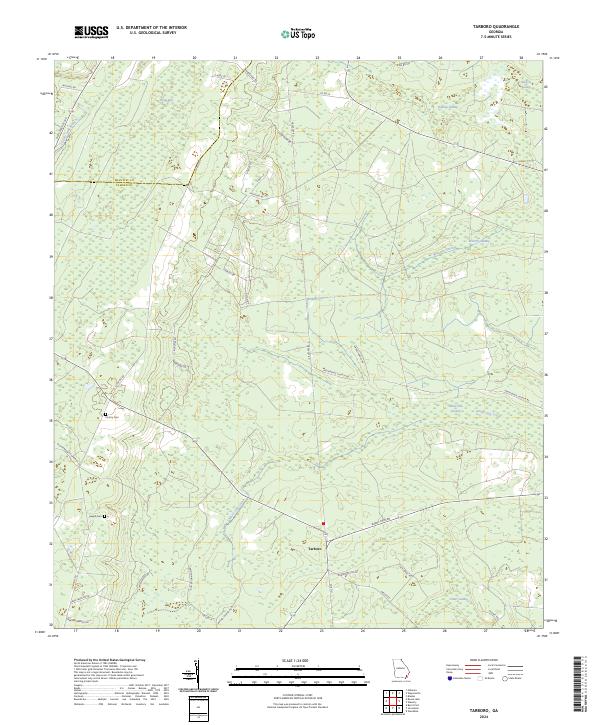 2024 Tarboro2024 Print · USGSCamden County's rural character and complex wetlands are meticulously detailed in this recent survey of the Tarboro area. Researchers can trace local lineage through family-named landmarks like Victory Cemetery or follow the historic paths of Old Post Road and Burnt Fort Road through the swamps.
 - 2024 Map of Hoboken East, 2024 Print
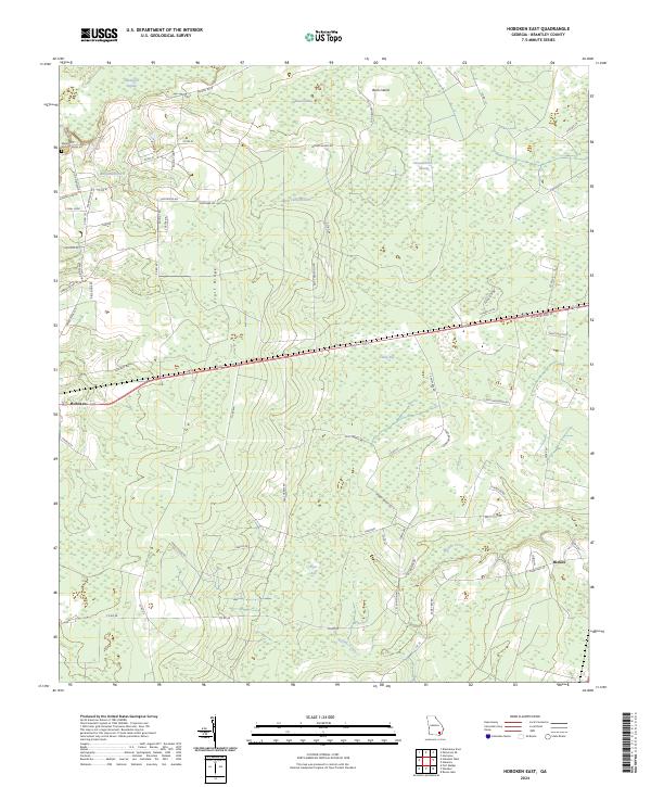 2024 Hoboken East2024 Print · USGSBrantley County maintains its rural character in the 2020s, defined by the persistent geography of the southern wetlands. Researchers can trace family names and local routes through the region, finding landmarks like Spring Hill Cem, Hoboken, and the Buffalo Creek drainage.
 - 2024 Map of Boons Lake, 2024 Print
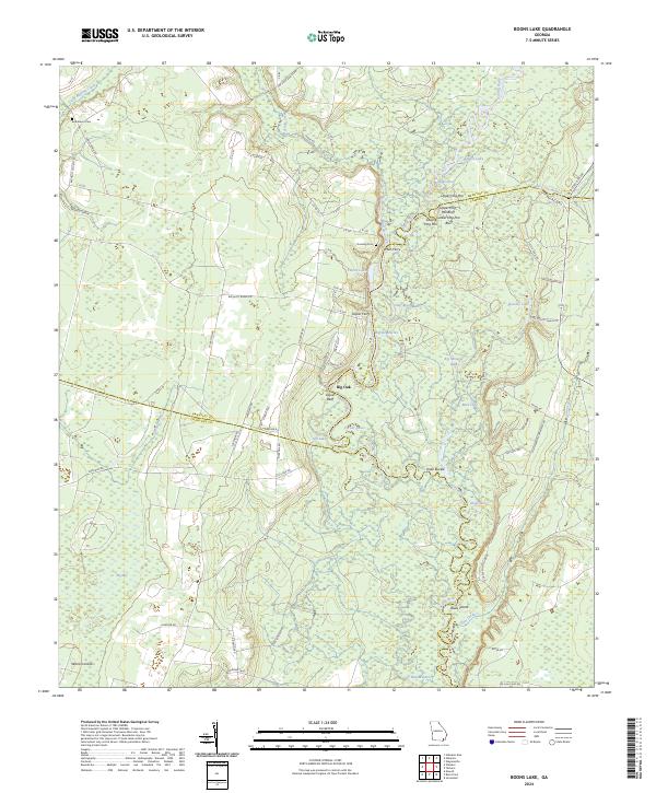 2024 Boons Lake2024 Print · USGSThe winding Satilla River defines this corner of Georgia, where Brantley, Camden, and Charlton counties converge in a landscape of river-bottom swamps. Genealogists and historians can trace old river crossings like Mills Ferry and locate family burial sites at Bethlehem Cem and Dowling Cem.
 - 2024 Map of Waynesville, 2024 Print
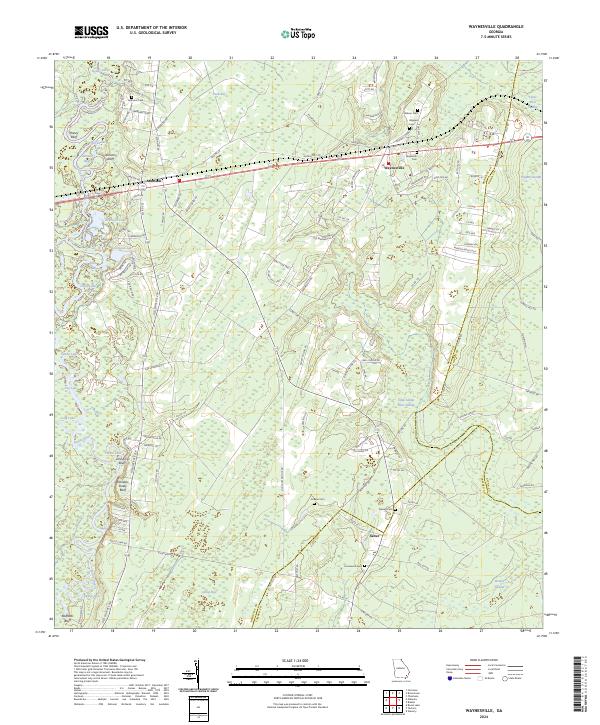 2024 Waynesville2024 Print · USGSCoastal Georgia's riverine lowlands and rural settlements are documented here in the early twenty-first century. Family history researchers can trace local roots through numerous sites like Ammons Cem, Salter, and the river landings near Honey Bluff.
 - 2024 Map of Thalmann, 2024 Print
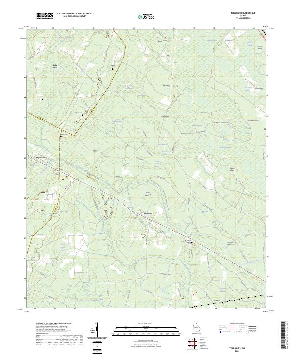 2024 Thalmann2024 Print · USGSCoastal Georgia's lowlands come into focus in the early 2020s, revealing a landscape where family history is etched into the hammocks and swamps. Researchers can trace ancestral roots at Blount Crossing Cem, explore the area around Thalmann, or locate the site of Popwellville.
 - 2024 Map of Blackshear East, 2024 Print
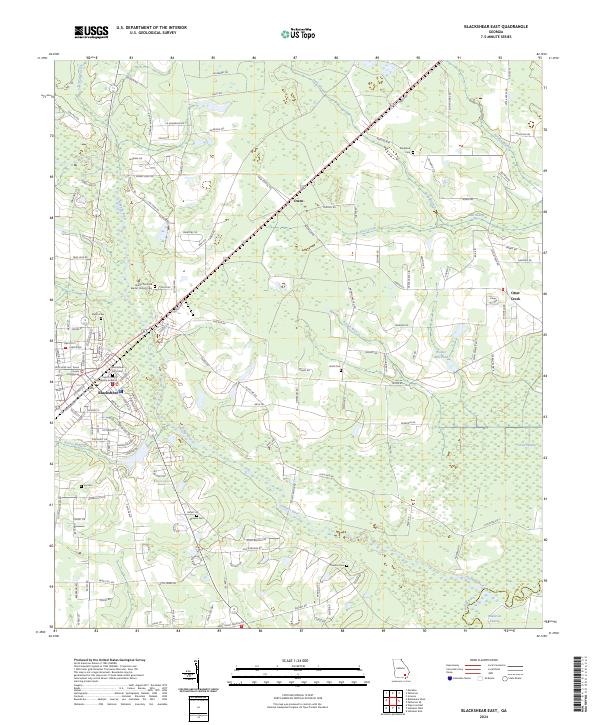 2024 Blackshear East2024 Print · USGSThe county seat of Blackshear and its eastern rural surroundings are documented here as they appeared in 2024. Researchers can trace family history through several local burial sites, including Blackshear City Cemetery, Smith Cem, and Shiloh Primitive Baptist Church Cem.
 - 2024 Map of Nahunta, 2024 Print
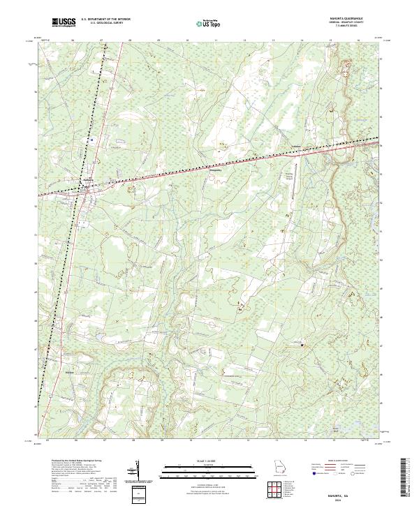 2024 Nahunta2024 Print · USGSBrantley County is captured in this contemporary survey, showing the county seat at Nahunta and the surrounding pine-and-swamp landscape. Researchers can trace family history through Knox Cem or locate rural homesteads near Hickox and Lulaton.
 - 2024 Map of Hoboken West, 2024 Print
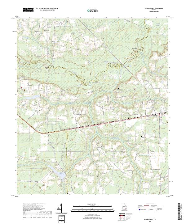 2024 Hoboken West2024 Print · USGSThe Satilla River basin in Brantley and Pierce counties reveals a landscape shaped by water and family-named homesteads in recent years. Researchers can trace rural lineages at Enon Cem, Martin Cem, and the historic settlement of Schlatterville.
 - 2024 Map of Browntown, 2024 Print
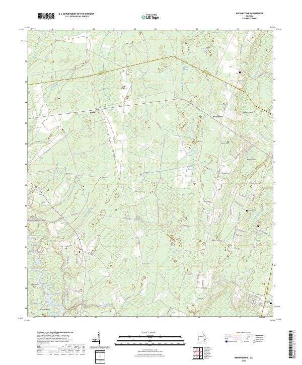 2024 Browntown2024 Print · USGSBrantley County and the Wayne County line are shown in the 2020s as a landscape defined by the winding Satilla River and vast swamp systems. Researchers can locate numerous local landmarks including McCool Cem, the settlement of Browntown, and the remote Robinson Hammock Bluff.
 - 2024 Map of Hortense, 2024 Print
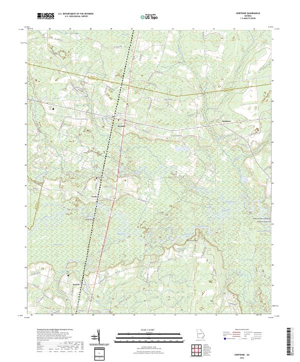 2024 Hortense2024 Print · USGSBrantley County and its neighbors are mapped here in the early twenty-first century, showing a landscape defined by the winding Satilla River. Genealogists can locate family sites like Baxter Cem and Lewis Cem near the rail-side community of Raybon.
Showing maps 1-25 of 28
Top cities of Brantley County
Frequently asked questions
- What are the different types of historical maps available for Brantley County?
- What is the oldest map of Brantley County?
- Where can I purchase historical maps of Brantley County for my home or office?
- Where can I download high-res historical maps of Brantley County?
- Are there historical topographic maps available for Brantley County?
- Is there historical aerial imagery available for Brantley County?
- Where are historical maps of Brantley County sourced from?