2020s Maps of Bulloch County, Georgia
Explore 40 historic maps of Bulloch County from the 2020s. These maps offer a rare glimpse into what life looked like during the 2020s — showing old roads, neighborhoods, homes, and landmarks that have changed or disappeared over time.
Whether you're researching your family's past, planning a metal detecting trip, or studying how Bulloch County's landscape evolved across the 2020s, these high-resolution maps are a powerful tool for exploring the history of this region.
- Focus on a specific era: All maps on this page are from the 2020s, giving you a focused view of this time period.
- See what’s changed: Compare century-old streets, trails, and buildings to today's modern landscape using overlays and satellite layers.
- Research with precision: Use these maps for genealogy, historical research, land use analysis, or educational projects.
- View, download, or print: Maps are fully viewable online in high resolution, and can be downloaded or printed for your own records.
Start exploring Bulloch County's history through authentic maps from the 2020s. This is your window into the past.
Bulloch County, GA maps
(40)- 2020 Map of Nevils, 2020 Print
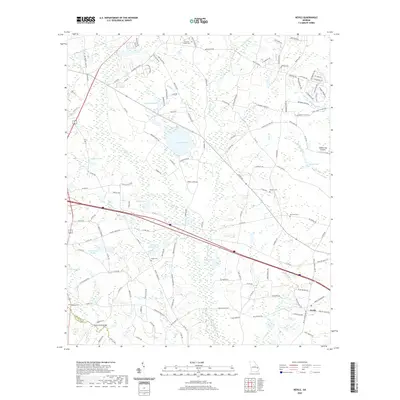 2020 Nevils2020 Print · USGSBulloch County's rural character is well-preserved in this modern survey of the area around Nevils. Genealogists and local historians can trace family ties through numerous small burial grounds like Waters Cem and Kennedy Cem or locate the Scott Creek Bridge crossing.
 - 2020 Map of Portal, 2020 Print
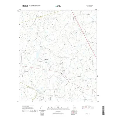 2020 Portal2020 Print · USGSThe rural agricultural landscapes of Bulloch and Jenkins counties are captured here in the contemporary era. Genealogists and local historians can trace family-named sites and burial grounds such as Portal Cem, Banks Creek Church Cem, and the waters of Parrish Lake.
 - 2020 Map of Eden, 2020 Print
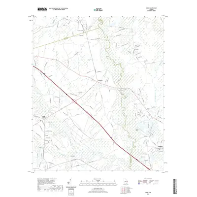 2020 Eden2020 Print · USGSGeorgia's coastal plain comes alive in this survey of the river country where Bryan, Bulloch, and Effingham counties meet. Genealogists and historians can trace family ties at Eldora Cem and Sand Hill Cem, or explore the river-bound settlements of Eden and Meldrim.
 - 2020 Map of Leefield, 2020 Print
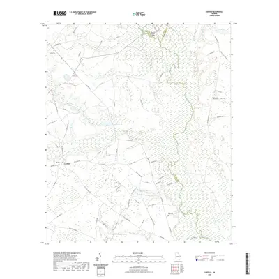 2020 Leefield2020 Print · USGSBulloch County and the Ogeechee River valley appear here in the early twenty-first century as a landscape of rural cemeteries and winding creek branches. Genealogists and local historians can locate Mount Zion Church Cem, Leefield, and the river crossing at Fred W Hodges Bridge.
 - 2020 Map of Groveland, 2020 Print
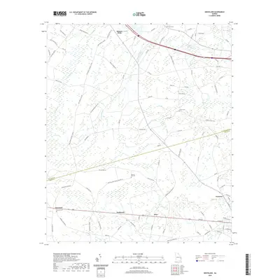 2020 Groveland2020 Print · USGSCoastal Georgia's rural interior comes into focus during this modern era, spanning the border of Bulloch and Bryan counties. Researchers can trace family-named routes and find local landmarks like Beautiful Zion Cem, Groveland, and the waters of Bryan Bay.
 - 2020 Map of Dover, 2020 Print
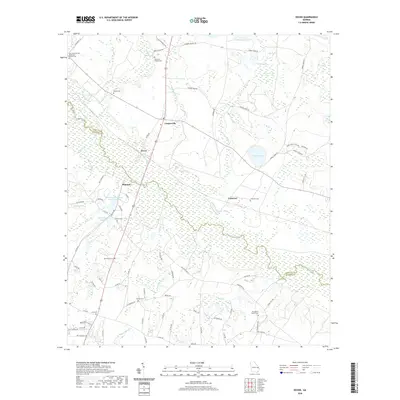 2020 Dover2020 Print · USGSThe Ogeechee River corridor in Screven and Bulloch Counties is documented here in the early twenty-first century. Researchers can trace rural lineages through numerous local sites including Oak Grove United Methodist Church Cem, Branon Cem, and Simmons Branch Cem.
 - 2020 Map of Oliver, 2020 Print
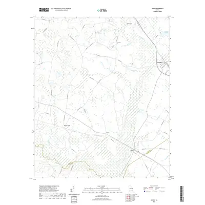 2020 Oliver2020 Print · USGSScreven County's river-bottom landscapes and small-town rail corridors are detailed here in the modern era. Genealogists and local historians can trace family locations near Halcyondale, Union Cem, and the historic banks of the Ogeechee River.
 - 2020 Map of Lanier, 2020 Print
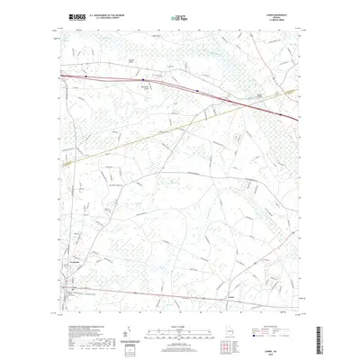 2020 Lanier2020 Print · USGSCoastal plain wetlands and small-town life meet in the 2020 Georgia interior. Genealogists and researchers can trace the roads around Pembroke to the Bryan County Courthouse or locate family sites at Stevens Grove Cem and the settlement of Lanier.
 - 2020 Map of Register, 2020 Print
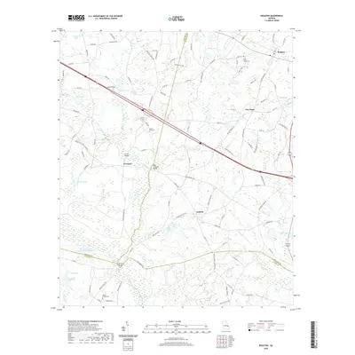 2020 Register2020 Print · USGSBulloch County and its neighbors are shown here in the contemporary era, as the region's rural character remains defined by old crossroads and watercourses. Genealogists can locate family landmarks like Saint Pauls Church Cem or trace the lands near Register and Adabelle.
 - 2020 Map of Brooklet, 2020 Print
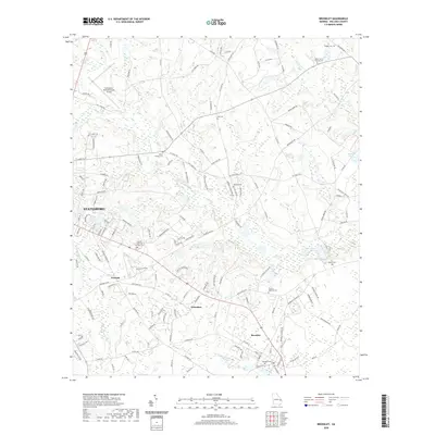 2020 Brooklet2020 Print · USGSBulloch County near the coast in the twenty-first century shows a landscape where historic rural communities meet modern infrastructure. Genealogists can trace family names at the Beasley Cem, Moore Cem, and settlements like Pretoria and Grimshaw.
 - 2020 Map of Stilson, 2020 Print
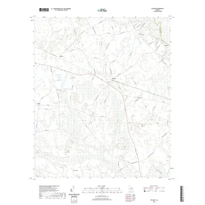 2020 Stilson2020 Print · USGSSoutheast Georgia in 2020 remains a landscape defined by its river basins and rural crossroads. Genealogists and local historians can trace family-named sites like McElveen Cem and the small settlements of Stilson and Arcola near the Ogeechee River.
 - 2020 Map of Pulaski, 2020 Print
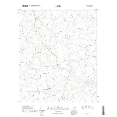 2020 Pulaski2020 Print · USGSGeorgia's coastal plain at the Bulloch and Candler county line is captured here in detail during the early twenty-first century. Genealogists can trace family roots through sites like Rehovia Church Cem, Noahs Ark Cem, and the crossing at Hendrix Bridge.
 - 2020 Map of Daisy, 2020 Print
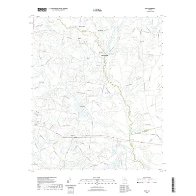 2020 Daisy2020 Print · USGSThe rural Evans County landscape near the Canoochee River is documented here in the modern era. Genealogists and local historians can trace family land legacies through numerous landmarks like Anderson Mill, Rogers Cem, and the community of Daisy.
 - 2020 Map of Hopeulikit, 2020 Print
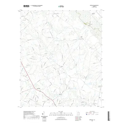 2020 Hopeulikit2020 Print · USGSBulloch County and the Screven County line are captured here in the early twenty-first century, showing the rural crossroads of Hopeulikit and Akins Mill. Family researchers can trace the locations of Donaldson Cem, Saint Marys Cem, and Friendship Church Cem.
 - 2020 Map of Denmark, 2020 Print
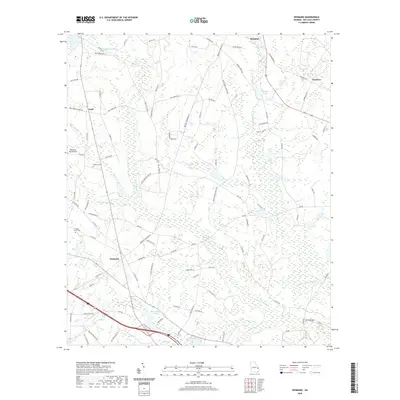 2020 Denmark2020 Print · USGSBulloch County's rural crossroads and wetlands are captured here in the modern era. Genealogists and local historians can trace family-named sites like Anderson Cem and McDonald Pond or explore the small communities of Denmark and Emit.
 - 2020 Map of Statesboro, 2020 Print
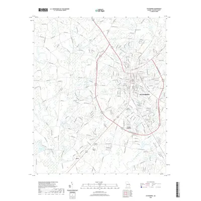 2020 Statesboro2020 Print · USGSStatesboro and its surrounding Bulloch County countryside are shown here in the early twenty-first century, centered on its university and historic downtown. Genealogists and researchers can trace family landmarks and burial sites like Eastside Cem and Langston Church Cem, alongside the settlement at Jimps.
 - 2020 Map of Twin City SE, 2020 Print
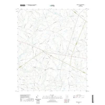 2020 Twin City SE2020 Print · USGSThe rural borderlands where Bulloch and Emanuel Counties meet are documented here during the early twenty-first century. Genealogists can locate family landmarks like Williams Cemetery or trace traditional crossings at Emmit Brown Bridge and Banks Bridge.
 - 2020 Map of Four Points, 2020 Print
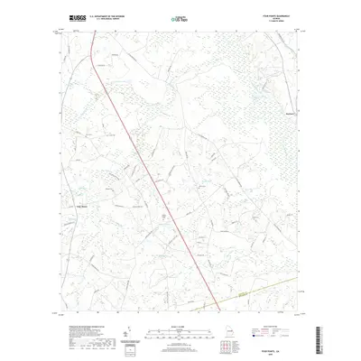 2020 Four Points2020 Print · USGSCoastal plain wetlands and small rural settlements define this Jenkins County landscape in the early twenty-first century. Researchers can trace family history through numerous burial grounds like Paynes Chapel Cem and Aycock Cem near the banks of the Ogeechee River.
 - 2020 Map of Guyton, 2020 Print
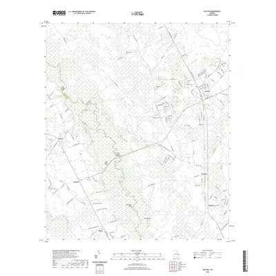 2020 Guyton2020 Print · USGSCoastal plain settlements and river crossings define this portion of Effingham County during the modern era. Genealogists and local historians can trace family locations through Old Providence Cem, Saint Peters Bluff, and the historic crossing at Captain William Cone Bridge.
 - 2020 Map of Rocky Ford, 2020 Print
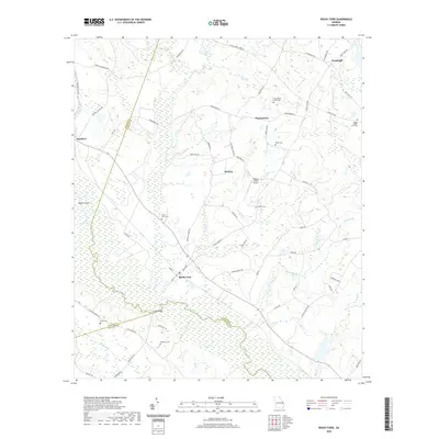 2020 Rocky Ford2020 Print · USGSScreven County in the early twenty-first century remains a landscape of river-bottom wetlands and scattered rural settlements. Genealogists can trace family footprints across numerous sites like Rocky Ford Cem, Parker Cem, and the community of Thomasboro.
 - 2024 Map of Nevils, 2024 Print
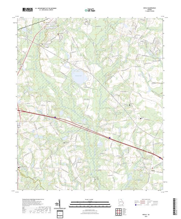 2024 Nevils2024 Print · USGSThe community of Nevils and the surrounding Georgia coastal plain are documented here in recent years, showing a landscape shaped by farming and faith. Genealogists can locate family landmarks like Brannen-Wilson Cem, Waters Cem, and Union Church.
 - 2024 Map of Groveland, 2024 Print
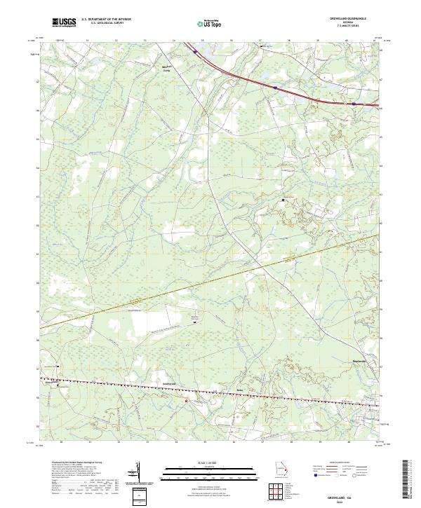 2024 Groveland2024 Print · USGSBulloch and Bryan Counties maintain their rural character in this modern look at the Georgia coastal plain. Researchers can trace family roots through Beautiful Zion Church Cemetery, Jerusalem Cem, and established settlements like Groveland and Mitchell Forks.
 - 2024 Map of Portal, 2024 Print
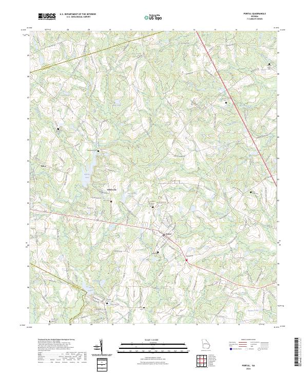 2024 Portal2024 Print · USGSThe community of Portal and the surrounding Georgia countryside are shown here at the intersection of Bulloch and Jenkins counties. Researchers can trace local lineage through numerous rural burial grounds like Johnson Grove Cem and Franklin Cem, or locate the historic settlements of Piddleville and Aaron.
 - 2024 Map of Brooklet, 2024 Print
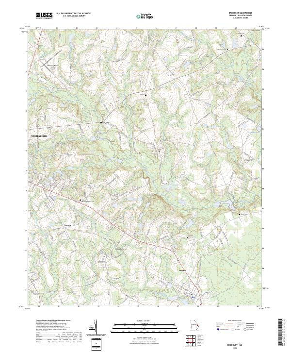 2024 Brooklet2024 Print · USGSSoutheast Georgia's rural character and transportation growth are detailed in this contemporary survey of Bulloch County. Genealogists and local historians can trace family roots at Leefield Cem or Bullock Memorial Gardens Cem, and locate landmarks like Grimshaw and the Elmer Baptist Church.
 - 2024 Map of Dover, 2024 Print
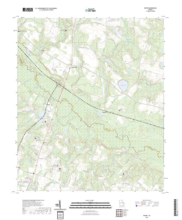 2024 Dover2024 Print · USGSScreven and Bulloch Counties meet along the winding Ogeechee River in this modern survey of eastern Georgia. Genealogists can trace numerous family-named landmarks and rural burial sites, from Wades Cem and Branon Cem to the settlement at Cooperville.
Showing maps 1-25 of 40
Top cities of Bulloch County
Frequently asked questions
- What are the different types of historical maps available for Bulloch County?
- What is the oldest map of Bulloch County?
- Where can I purchase historical maps of Bulloch County for my home or office?
- Where can I download high-res historical maps of Bulloch County?
- Are there historical topographic maps available for Bulloch County?
- Is there historical aerial imagery available for Bulloch County?
- Where are historical maps of Bulloch County sourced from?