2010s Maps of Bulloch County, Georgia
Explore 60 historic maps of Bulloch County from the 2010s. These maps offer a rare glimpse into what life looked like during the 2010s — showing old roads, neighborhoods, homes, and landmarks that have changed or disappeared over time.
Whether you're researching your family's past, planning a metal detecting trip, or studying how Bulloch County's landscape evolved across the 2010s, these high-resolution maps are a powerful tool for exploring the history of this region.
- Focus on a specific era: All maps on this page are from the 2010s, giving you a focused view of this time period.
- See what’s changed: Compare century-old streets, trails, and buildings to today's modern landscape using overlays and satellite layers.
- Research with precision: Use these maps for genealogy, historical research, land use analysis, or educational projects.
- View, download, or print: Maps are fully viewable online in high resolution, and can be downloaded or printed for your own records.
Start exploring Bulloch County's history through authentic maps from the 2010s. This is your window into the past.
Bulloch County, GA maps
(60)- 2011 Map of Twin City SE, 2011 Print
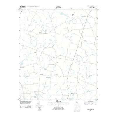 2011 Twin City SE2011 Print · USGSThis rural Georgia landscape in the early twenty-first century reveals a network of family-named landmarks and historic creek crossings. Genealogists can trace local roots through Friendship Cemetery and Williams Cemetery, or locate old crossings at Banks Bridge and Paddy Ford Bridge.
 - 2011 Map of Groveland, 2011 Print
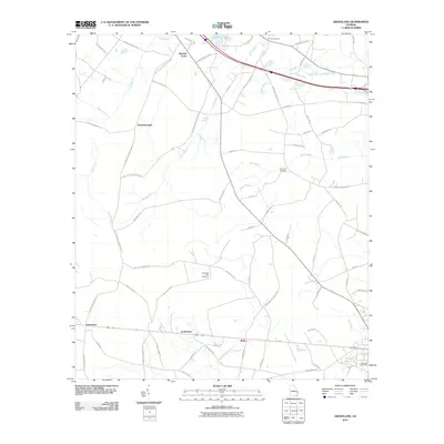 2011 Groveland2011 Print · USGSBryan County in the early twenty-first century reveals a landscape of rural crossroads and extensive wetlands. Genealogists and local historians can trace the roads connecting Groveland and Reka, or locate family sites near Beautiful Zion Cemetery and Mitchell Forks.
 - 2011 Map of Denmark, 2011 Print
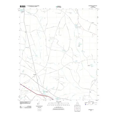 2011 Denmark2011 Print · USGSBulloch County's rural landscape is captured here in the early twenty-first century, showing the small settlements of Denmark and Emit. Genealogists can trace family landmarks like the Anderson Cemetery, Birds Bridge, and the historic Eb Lee Ford crossing.
 - 2011 Map of Daisy, 2011 Print
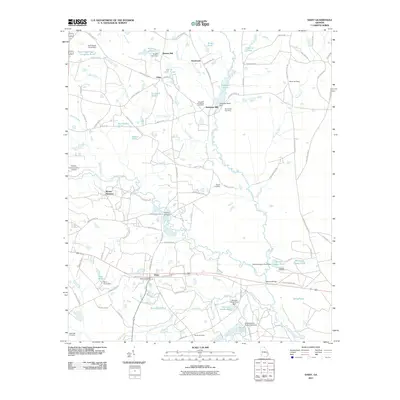 2011 Daisy2011 Print · USGSDaisy and the surrounding Evans County countryside are documented here in the early twenty-first century as the landscape maintains its traditional rural character. Genealogists and local historians can trace family burial sites at De Loachs Cemetery or Martin Cemetery and locate historical milling sites like Bowen Mill.
 - 2011 Map of Stilson, 2011 Print
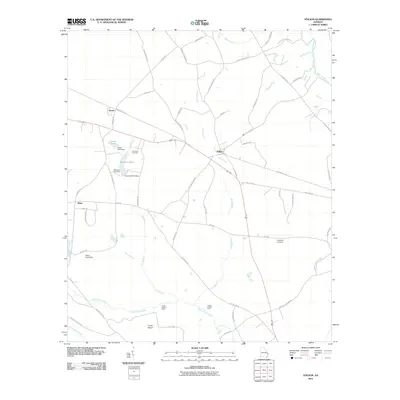 2011 Stilson2011 Print · USGSBulloch County's rural landscape is captured here in the early twenty-first century, showing the enduring patterns of Georgia's agricultural and riverine life. Genealogists and local historians can trace family locations near Immanuel Cemetery, Akins, and the historic crossings at Upper Dugger Ford.
 - 2011 Map of Brooklet, 2011 Print
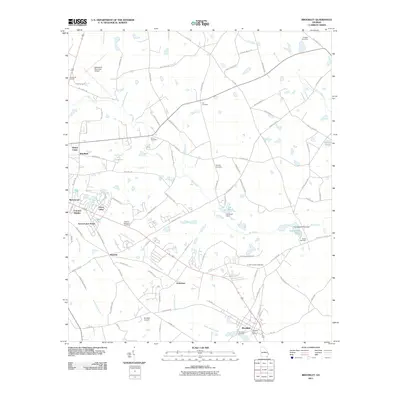 2011 Brooklet2011 Print · USGSBulloch County at the turn of the millennium shows a blend of growing residential communities and well-preserved rural landmarks. Genealogists can trace family connections through the numerous burial sites like Corinth-Leefield Cemetery, Moore Cemetery, and Elmer Cemetery.
 - 2011 Map of Leefield, 2011 Print
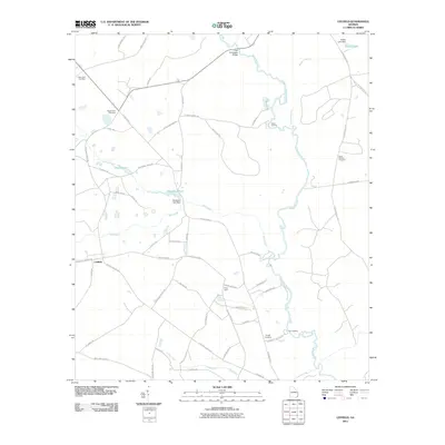 2011 Leefield2011 Print · USGSBulloch County's riverine landscape is captured here in the early twenty-first century, centered on the Ogeechee River and the rural community of Leefield. Genealogists and historians can locate several family-named landmarks and burial sites like the Silas Morton Cemetery and New Hope Cemetery.
 - 2011 Map of Eden, 2011 Print
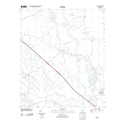 2011 Eden2011 Print · USGSCoastal Georgia's riverine landscape comes to life in this early 21st-century record of the settlements between the Ogeechee and Little Ogeechee rivers. Genealogists can trace family connections at Sand Hill Cemetery or locate historical hubs like the Eden Post Office and Meldrim.
 - 2011 Map of Guyton, 2011 Print
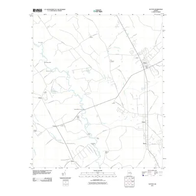 2011 Guyton2011 Print · USGSCoastal Georgia's riverine landscape comes into focus here during the early 2000s, centered on the community of Guyton. Researchers can trace local lineages through numerous burial sites like Newton Cemetery and find historical river landings such as Joe Cone Landing and Hyatts Landing.
 - 2011 Map of Lanier, 2011 Print
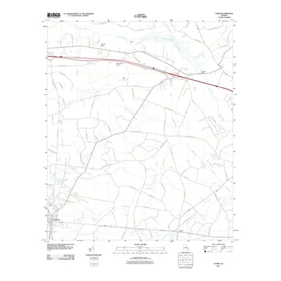 2011 Lanier2011 Print · USGSCoastal Georgia's inland plains are documented here in the early twenty-first century as agricultural roads and creek crossings define the rural character. Researchers can pinpoint North Side Cemetery, trace the course of Mill Creek, and locate historic landmarks like Burnsed Bridge.
 - 2011 Map of Pulaski, 2011 Print
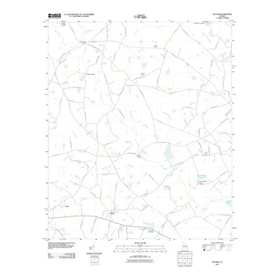 2011 Pulaski2011 Print · USGSThis rural Georgia landscape near Pulaski was mapped in the early twenty-first century, showcasing a region defined by small family settlements and agricultural waterways. Genealogists can trace local roots through several family-named landmarks, including the Hendrix and Welsh Cemetery, Bland Cemetery, and Longford Bridge.
 - 2011 Map of Statesboro, 2011 Print
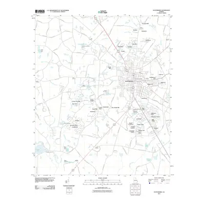 2011 Statesboro2011 Print · USGSStatesboro was rapidly expanding in the early twenty-first century as the university and residential corridors pushed outward. Genealogists and researchers can trace family-named sites like Deal Cemetery and Akins Cemetery alongside developments like Georgian Walk.
 - 2011 Map of Nevils, 2011 Print
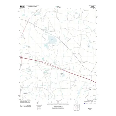 2011 Nevils2011 Print · USGSBulloch County's agricultural heartland is captured here in the early twenty-first century, centered on the community of Nevils. Local historians can trace family roots through numerous sites like Union Cemetery, Waters Cemetery, and the Scott Creek Bridge.
 - 2011 Map of Portal, 2011 Print
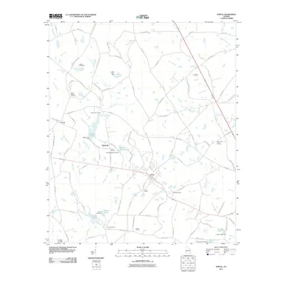 2011 Portal2011 Print · USGSBulloch County's agricultural landscape is seen here in the early twenty-first century, centered on the hub of Portal. Genealogists and historians can trace family locations through numerous sites like Piddleville, Pleasant Hill Cemetery, and Womack Airport.
 - 2011 Map of Four Points, 2011 Print
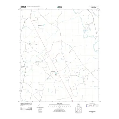 2011 Four Points2011 Print · USGSCoastal Plain wetlands and rural farmsteads define this Georgia landscape at the turn of the decade. Genealogists and local historians can trace family burial sites like Paynes Chapel Cemetery and Lanier Cemetery near the banks of the Ogeechee River.
 - 2011 Map of Rocky Ford, 2011 Print
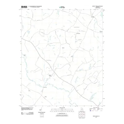 2011 Rocky Ford2011 Print · USGSScreven County comes to life in this early 21st-century study of the rural river lands near Rocky Ford. Genealogists can trace family heritage through numerous burial sites like Finch Cemetery and Daughtry Cemetery near the banks of the Ogeechee River.
 - 2011 Map of Dover, 2011 Print
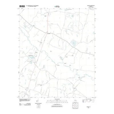 2011 Dover2011 Print · USGSScreven County in the early twenty-first century remains a landscape of historic river landings and quiet rural hamlets. Genealogists and historians can trace family roots through several local burial grounds, including Wades Cemetery and Macedonia Cemetery, or locate old river access points like Evans Landing.
 - 2011 Map of Register, 2011 Print
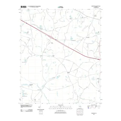 2011 Register2011 Print · USGSBulloch County's rural landscape at the start of the twenty-first century reveals a deeply personal geography of family-named landmarks and small settlements. Genealogists and local historians can trace family ties at Saint Pauls Cemetery, cross the Mike Kennedy Bridge, and locate homesites near Adabelle and New Hope.
 - 2011 Map of Hopeulikit, 2011 Print
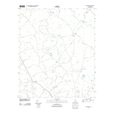 2011 Hopeulikit2011 Print · USGSBulloch County's rural landscape is captured here in the early twenty-first century, centered on the historic crossroads of Hopeulikit. Researchers can trace deep family roots through numerous burial sites like Hendrix Cemetery and landmarks such as Akins Mill.
 - 2011 Map of Oliver, 2011 Print
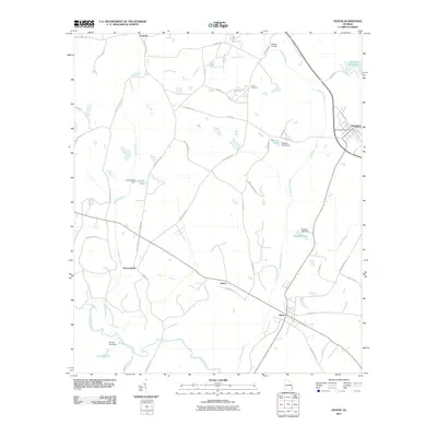 2011 Oliver2011 Print · USGSScreven County's agricultural and riverine landscape is captured here in the early twenty-first century. Genealogists and local historians can trace family roots through sites like Union Cemetery or explore small settlements such as Halcyondale and Stalco.
 - 2014 Map of Register, 2014 Print
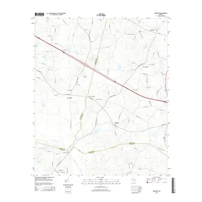 2014 Register2014 Print · USGSCoastal Plain wetlands and rural settlements define this part of Georgia in the early twenty-first century. Researchers can trace family history at Saint Pauls Cem or locate old crossings like Hi-Hill Bridge along the Canoochee River.
 - 2014 Map of Oliver, 2014 Print
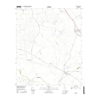 2014 Oliver2014 Print · USGSCoastal plain settlements and river crossings define the landscape of Screven County in the early 2010s. Researchers can trace local lineage through family-named routes and sites like Union Cem, Meldrin Millpond, and Nelson Bridge.
 - 2014 Map of Portal, 2014 Print
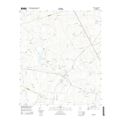 2014 Portal2014 Print · USGSBulloch County's rural crossroads and family settlements come to life in this survey from the early twenty-first century. Genealogists and local historians can trace legacy sites like Franklin Cem, Mincey Cem, and Banks Creek Church Cem alongside the waters of Lotts Cr.
 - 2014 Map of Groveland, 2014 Print
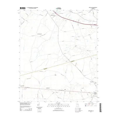 2014 Groveland2014 Print · USGSBulloch and Bryan counties come together in this Georgia landscape during the early twenty-first century. Genealogists and local researchers can trace family lands near Beautiful Zion Cem, the crossroads at Mitchell Forks, and the town of Pembroke.
 - 2014 Map of Four Points, 2014 Print
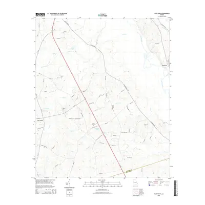 2014 Four Points2014 Print · USGSCoastal Plain wetlands and rural settlements characterize this South Georgia region near the Ogeechee River. Researchers can trace local lineage through numerous family-named landmarks including Paynes Chapel Cem, Lane Cem, and the riverside community of Scarboro.
Showing maps 1-25 of 60
Top cities of Bulloch County
Frequently asked questions
- What are the different types of historical maps available for Bulloch County?
- What is the oldest map of Bulloch County?
- Where can I purchase historical maps of Bulloch County for my home or office?
- Where can I download high-res historical maps of Bulloch County?
- Are there historical topographic maps available for Bulloch County?
- Is there historical aerial imagery available for Bulloch County?
- Where are historical maps of Bulloch County sourced from?