2000s (21st Century) Maps of Tallapoosa, Georgia
Explore 20 historic maps of Tallapoosa from the 2000s (21st Century). These maps offer a rare glimpse into what life looked like during the 2000s — showing old roads, neighborhoods, homes, and landmarks that have changed or disappeared over time.
Whether you're researching your family's past, planning a metal detecting trip, or studying how Tallapoosa's landscape evolved across the 2000s, these high-resolution maps are a powerful tool for exploring the history of this region.
- Focus on a specific era: All maps on this page are from the 2000s, giving you a focused view of this time period.
- See what’s changed: Compare century-old streets, trails, and buildings to today's modern landscape using overlays and satellite layers.
- Research with precision: Use these maps for genealogy, historical research, land use analysis, or educational projects.
- View, download, or print: Maps are fully viewable online in high resolution, and can be downloaded or printed for your own records.
Start exploring Tallapoosa's history through authentic maps from the 2000s. This is your window into the past.
Tallapoosa, GA maps
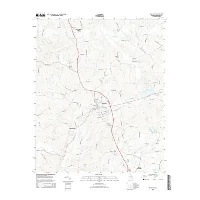
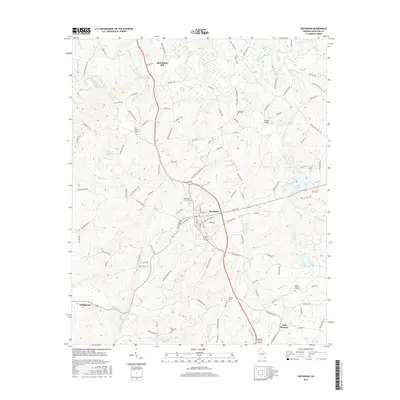
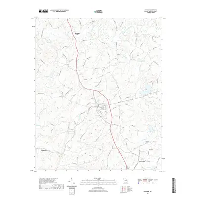
(20)- 2011 Map of Tallapoosa North, 2011 Print
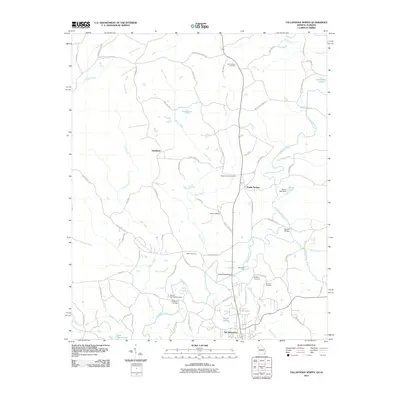 2011 Tallapoosa North2011 Print · USGSCovers Tallapoosa, including Poplar Springs, Steadman, and other nearby areas
 - 2011 Map of Tallapoosa South, 2011 Print
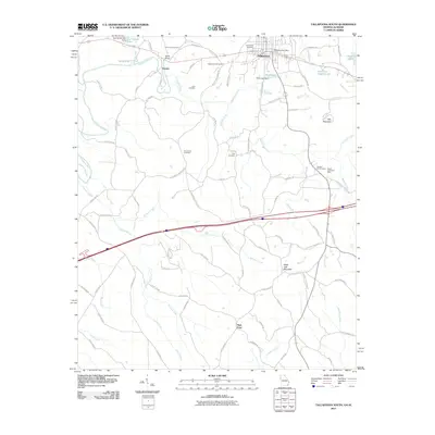 2011 Tallapoosa South2011 Print · USGSCovers Tallapoosa, including Hooper, High Point, and other nearby areas
 - 2011 Map of Buchanan, 2011 Print
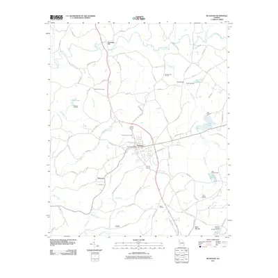 2011 Buchanan2011 Print · USGSCovers Tallapoosa, including Buchanan, West Bremen, and other nearby areas
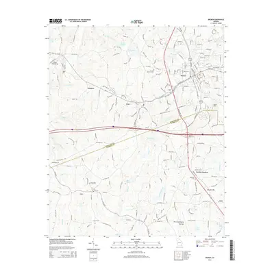
 - 2011 Map of Bremen, 2011 Print
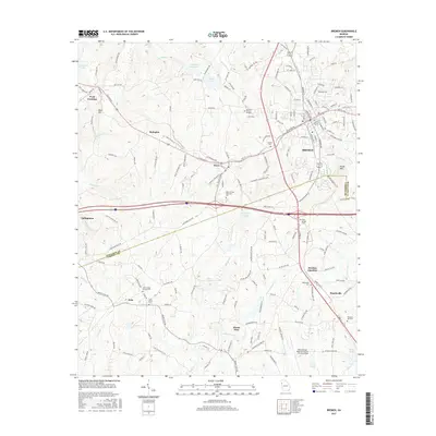
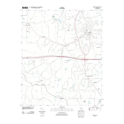 2011 Bremen2011 Print · USGSCovers Tallapoosa, including Bremen, Mount Zion, and other nearby areas
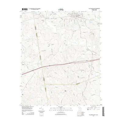
 - 2014 Map of Buchanan, 2014 Print
 2014 Buchanan2014 Print · USGSCovers Tallapoosa, including Buchanan, West Bremen, and other nearby areas
 - 2014 Map of Tallapoosa South, 2014 Print
 2014 Tallapoosa South2014 Print · USGSCovers Tallapoosa, including Hooper, High Point, and other nearby areas
 - 2014 Map of Bremen, 2014 Print
 2014 Bremen2014 Print · USGSCovers Tallapoosa, including Bremen, Mount Zion, and other nearby areas
 - 2014 Map of Tallapoosa North, 2014 Print
 2014 Tallapoosa North2014 Print · USGSCovers Tallapoosa, including Poplar Springs, Steadman, and other nearby areas
 - 2017 Map of Buchanan, 2017 Print
 2017 Buchanan2017 Print · USGSCovers Tallapoosa, including Buchanan, West Bremen, and other nearby areas
 - 2017 Map of Bremen, 2017 Print
 2017 Bremen2017 Print · USGSCovers Tallapoosa, including Bremen, Mount Zion, and other nearby areas
 - 2017 Map of Tallapoosa North, 2017 Print
 2017 Tallapoosa North2017 Print · USGSCovers Tallapoosa, including Poplar Springs, Steadman, and other nearby areas
 - 2017 Map of Tallapoosa South, 2017 Print
 2017 Tallapoosa South2017 Print · USGSCovers Tallapoosa, including Hooper, High Point, and other nearby areas
 - 2020 Map of Buchanan, 2020 Print
 2020 Buchanan2020 Print · USGSCovers Tallapoosa, including Buchanan, West Bremen, and other nearby areas
 - 2020 Map of Tallapoosa North, 2020 Print
 2020 Tallapoosa North2020 Print · USGSCovers Tallapoosa, including Poplar Springs, Steadman, and other nearby areas
 - 2020 Map of Tallapoosa South, 2020 Print
 2020 Tallapoosa South2020 Print · USGSCovers Tallapoosa, including Hooper, High Point, and other nearby areas
 - 2020 Map of Bremen, 2020 Print
 2020 Bremen2020 Print · USGSCovers Tallapoosa, including Bremen, Mount Zion, and other nearby areas
 - 2024 Map of Tallapoosa South, 2024 Print
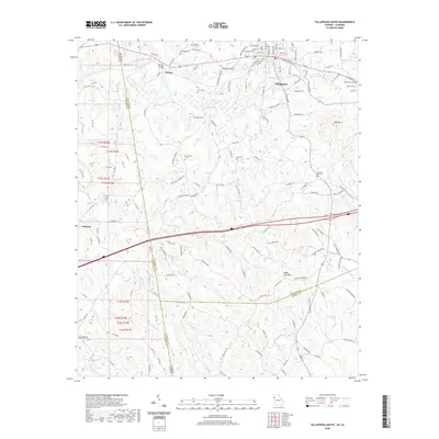
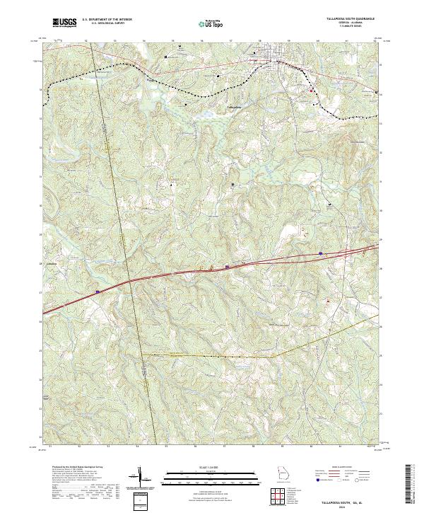 2024 Tallapoosa South2024 Print · USGSHaralson County at the Georgia-Alabama border is captured in this modern survey of the ridges and river bottoms. Genealogists and local historians can locate many rural landmarks like Hollywood Cem, Shiloh Church, and the Norfolk Southern rail line.
 - 2024 Map of Bremen, 2024 Print
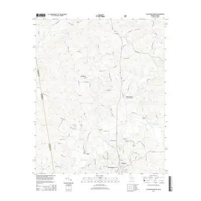
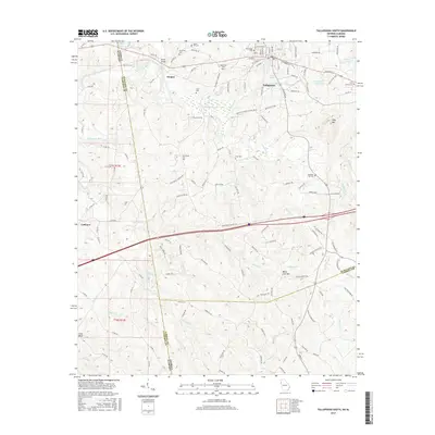
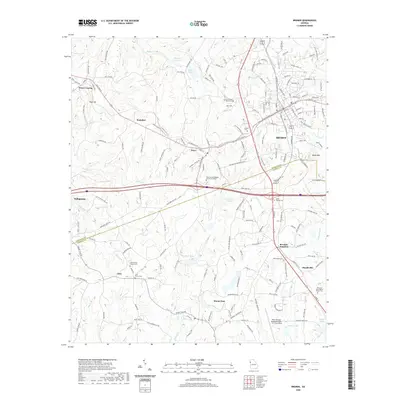
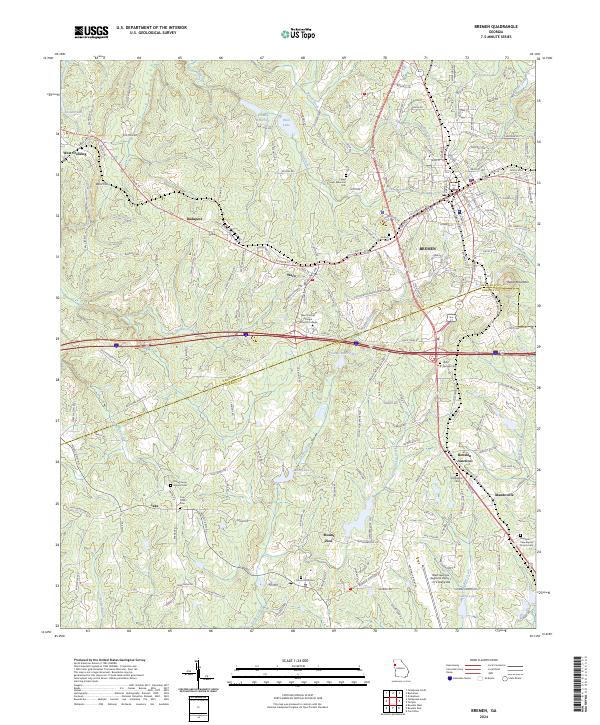 2024 Bremen2024 Print · USGSHaralson and Carroll Counties are shown here at a moment of continued growth along the Norfolk Southern corridor. Researchers can trace historical settlement patterns from the unique enclave of Budapest to the rail-centered hubs of Bowdon Junction and Mandeville.
 - 2024 Map of Tallapoosa North, 2024 Print
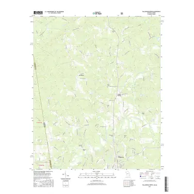
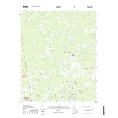
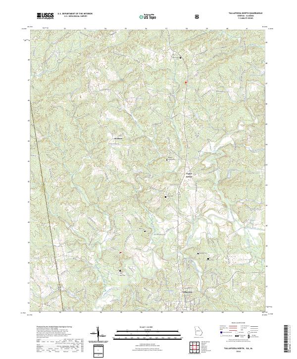 2024 Tallapoosa North2024 Print · USGSThe Georgia-Alabama borderlands come to life in this modern survey of Haralson and Cleburne counties. Genealogists and local historians can trace family locations near the Tallapoosa River, Mount Zion West Cem, and the old settlement of Steadman.
 - 2024 Map of Buchanan, 2024 Print
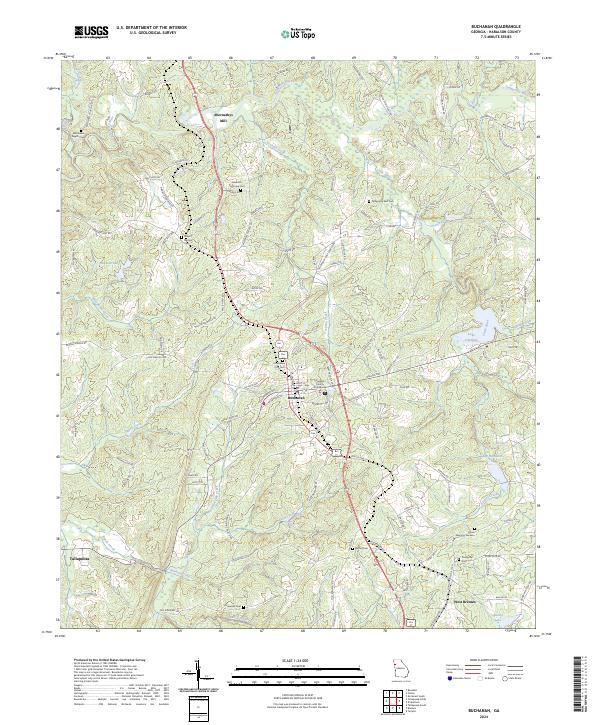 2024 Buchanan2024 Print · USGSHaralson County's seat and its surrounding rural landscapes are documented in this contemporary survey. Genealogists can locate family burial sites at Brannon Perryman Cem and Estavanko Cem, or trace the waters of the Tallapoosa River.
End of results
Showing maps 1-20 of 20
Top cities near Tallapoosa
- Carrollton historical maps
- Bremen historical maps
- Heflin historical maps
- Bowdon historical maps
- Mount Zion historical maps
- Buchanan historical maps
See more
Top neighborhoods of Tallapoosa
Frequently asked questions
- What are the different types of historical maps available for Tallapoosa?
- What is the oldest map of Tallapoosa?
- Where can I purchase historical maps of Tallapoosa for my home or office?
- Where can I download high-res historical maps of Tallapoosa?
- Are there historical topographic maps available for Tallapoosa?
- Is there historical aerial imagery available for Tallapoosa?
- Where are historical maps of Tallapoosa sourced from?