2010s Maps of Jeff Davis County, Georgia
Explore 30 historic maps of Jeff Davis County from the 2010s. These maps offer a rare glimpse into what life looked like during the 2010s — showing old roads, neighborhoods, homes, and landmarks that have changed or disappeared over time.
Whether you're researching your family's past, planning a metal detecting trip, or studying how Jeff Davis County's landscape evolved across the 2010s, these high-resolution maps are a powerful tool for exploring the history of this region.
- Focus on a specific era: All maps on this page are from the 2010s, giving you a focused view of this time period.
- See what’s changed: Compare century-old streets, trails, and buildings to today's modern landscape using overlays and satellite layers.
- Research with precision: Use these maps for genealogy, historical research, land use analysis, or educational projects.
- View, download, or print: Maps are fully viewable online in high resolution, and can be downloaded or printed for your own records.
Start exploring Jeff Davis County's history through authentic maps from the 2010s. This is your window into the past.
Jeff Davis County, GA maps
(30)- 2011 Map of Hazlehurst North, 2011 Print
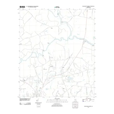 2011 Hazlehurst North2011 Print · USGSThe convergence of the Ocmulgee and Oconee rivers into the Altamaha is captured here in the early twenty-first century. Researchers can trace numerous historic river access points like Bells Ferry Landing and family landmarks such as the Hester Cemetery and McEachin Cemetery.
 - 2011 Map of Broxton NE, 2011 Print
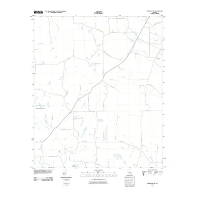 2011 Broxton NE2011 Print · USGSCoastal plain farmland and winding creek beds define this Coffee County landscape in the early twenty-first century. Researchers can trace family history through local landmarks like Williams Cemetery, Cato Cemetery, and the notable Rock Falls.
 - 2011 Map of Roper, 2011 Print
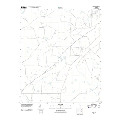 2011 Roper2011 Print · USGSJeff Davis County at the start of the twenty-first century reveals a landscape defined by the Ocmulgee River and family-held farmsteads. Researchers can trace ancestral connections at Harris and McDew Cemetery or locate the historic river crossing at Burketts Ferry Lndg.
 - 2011 Map of Grays Landing, 2011 Print
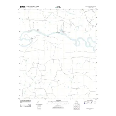 2011 Grays Landing2011 Print · USGSThe Altamaha River corridor in Toombs County is captured here in the early twenty-first century, showing a landscape shaped by river landings and rural cemeteries. Genealogists and local historians can trace family locations through sites like Old Smyrna Cemetery, Grays Landing, and the Bullards Creek Lookout Tower.
 - 2011 Map of Denton, 2011 Print
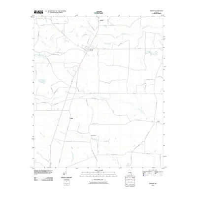 2011 Denton2011 Print · USGSJeff Davis County at the start of the 2010s reveals a classic Georgia coastal plain landscape of dispersed settlements and winding creeks. Trace local family history through landmarks like Wilcox Cemetery, Burkett Cemetery, and the quiet crossroads of Denton.
 - 2011 Map of Hazlehurst South, 2011 Print
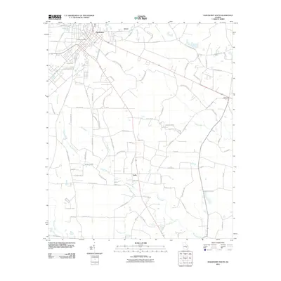 2011 Hazlehurst South2011 Print · USGSJeff Davis County during the early twenty-first century reveals a landscape defined by the Satilla river system and rural township hubs. Genealogists can locate family landmarks like Bazemore Cemetery and trace old routes such as Burketts Ferry Rd.
 - 2011 Map of Nicholls NE, 2011 Print
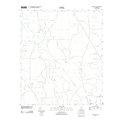 2011 Nicholls NE2011 Print · USGSAppling County at the turn of the decade remains a landscape of quiet rural homesteads and family-named landmarks. Genealogists can trace local heritage through numerous burial grounds like Simmons Cemetery, Wilson Cemetery, and Holton Cemetery.
 - 2011 Map of Pine Grove, 2011 Print
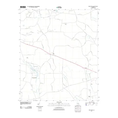 2011 Pine Grove2011 Print · USGSSoutheast Georgia's pine lands and creek bottoms are documented here in the early twenty-first century. Researchers can trace rural settlement patterns and local lineage through Sellers Cemetery, the community of Prentiss, and the waters of Lake Mayers.
 - 2011 Map of Snipesville, 2011 Print
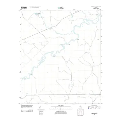 2011 Snipesville2011 Print · USGSThe Ocmulgee River basin in Jeff Davis County is captured here in the early twenty-first century, showing a landscape defined by its waterways and rural landings. Researchers can trace historic river access points and family sites like Burket Ferry Landing, Hall Cemetery, and the settlement of Snipesville.
 - 2011 Map of Lumber City, 2011 Print
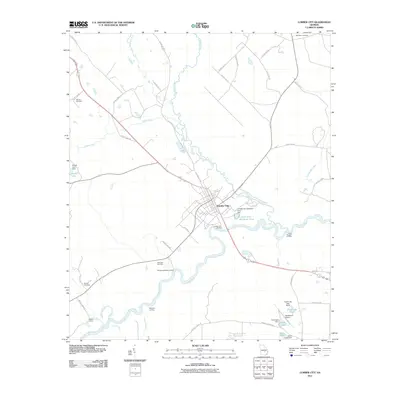 2011 Lumber City2011 Print · USGSLumber City and its surrounding river landings are documented here in the early twenty-first century as the Ocmulgee River winds through Telfair County. Researchers can trace family plots at Riverside Cemetery or Wooten Cemetery and locate river landmarks like Hard Bargain Landing.
 - 2014 Map of Nicholls NE, 2014 Print
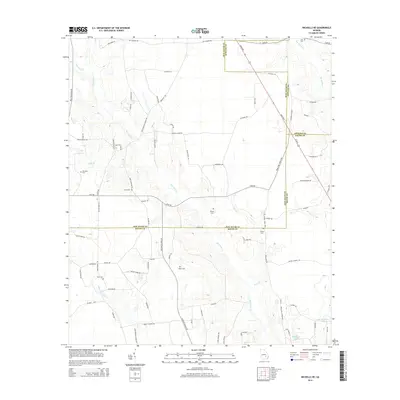 2014 Nicholls NE2014 Print · USGSSoutheast Georgia rural life is documented here at the tri-county intersection of Appling, Bacon, and Jeff Davis. Researchers can locate numerous local burial sites and family landmarks, including Zoar Cem, Holton Cem, and the waters of Hurricane Cr.
 - 2014 Map of Pine Grove, 2014 Print
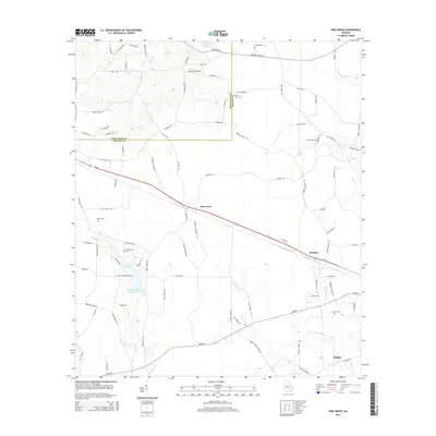 2014 Pine Grove2014 Print · USGSAppling and Jeff Davis counties meet here in the early twenty-first century, showing a landscape defined by its blackwater creeks and timberland. Genealogists can trace family connections through sites like Sellers Cem, Crapps Cem, and the community of Phillipi.
 - 2014 Map of Broxton NE, 2014 Print
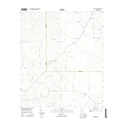 2014 Broxton NE2014 Print · USGSCoffee and Jeff Davis counties meet here in the early twenty-first century, showing a landscape defined by creek branches and family lands. Genealogists and local historians can locate specific sites like Williams Cem, Cato Cem, and the unique Rock Falls.
 - 2014 Map of Roper, 2014 Print
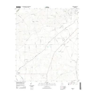 2014 Roper2014 Print · USGSJeff Davis County's rural reaches are captured here in the early twenty-first century, showing the enduring agricultural character of the region. Genealogists and local historians can locate Harris and McDew Cem, Snipesville, and Hinson Cem.
 - 2014 Map of Snipesville, 2014 Print
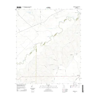 2014 Snipesville2014 Print · USGSThe Ocmulgee River corridor in south-central Georgia is captured here as it appeared in the early 21st century. Researchers can trace rural family roots at Saint Andrews Cem or locate old river access points like Dodge Boon Lndg near Snipesville.
 - 2014 Map of Denton, 2014 Print
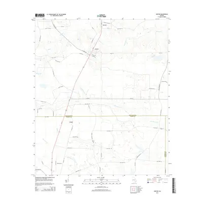 2014 Denton2014 Print · USGSDenton and the surrounding rural communities of Jeff Davis County are shown here as they appeared in the early twenty-first century. Genealogists and local historians can trace family land via Burkett Cem, Wilcox Cem, and named routes like Fannie Burkett Rd.
 - 2014 Map of Hazlehurst North, 2014 Print
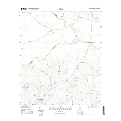 2014 Hazlehurst North2014 Print · USGSThe northern edge of Jeff Davis County meets the three-river confluence during the 2010s. Genealogists can trace deep local roots across family sites like McEachin Cem, Wilcox andHall Cem, and the settlement at Tallahassee.
 - 2014 Map of Lumber City, 2014 Print
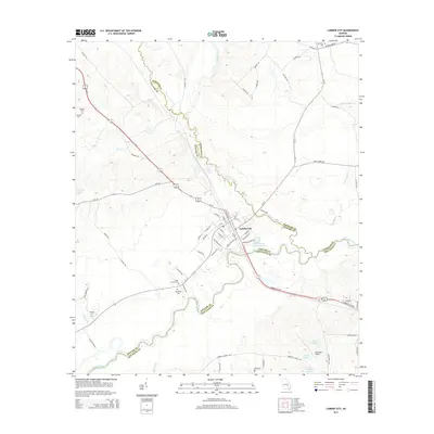 2014 Lumber City2014 Print · USGSThe river-bend settlement of Lumber City is documented here in the early twenty-first century at the meeting of three counties. Local historians can trace family roots at Riverside Cem or Cedar Grove Cem and explore the legacy of river transit along Burketts Ferry Rd.
 - 2014 Map of Hazlehurst South, 2014 Print
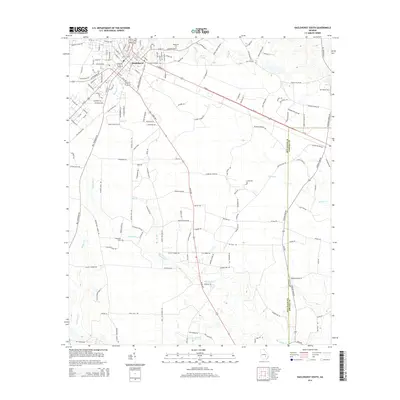 2014 Hazlehurst South2014 Print · USGSHazlehurst and the expansive Satilla River basin are captured here in the mid-2010s, showing a landscape shaped by water and timber. Genealogists can trace local family landmarks like Bazemore Cem and Ebenezer Cem among the bends of Big Satilla Cr.
 - 2014 Map of Grays Landing, 2014 Print
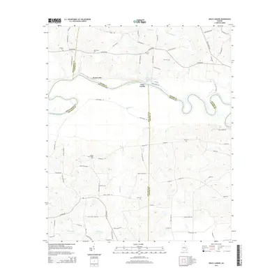 2014 Grays Landing2014 Print · USGSThe Altamaha River bottomlands come to life in this mid-2010s survey of the multi-county junction near Grays Landing. Genealogists and researchers can trace family landmarks and rural heritage sites such as Old Smyrna Cem, Grace Cem, and the Bullards Creek Lookout Tower.
 - 2017 Map of Hazlehurst North, 2017 Print
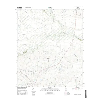 2017 Hazlehurst North2017 Print · USGSJeff Davis and Wheeler counties meet at the historic river confluence where the Altamaha begins in the late 2010s. Researchers can locate family landmarks like Mobley Cem, trace rural routes like Bells Ferry Rd, and explore the settlement of Tallahassee.
 - 2017 Map of Grays Landing, 2017 Print
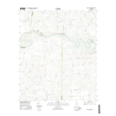 2017 Grays Landing2017 Print · USGSThe Altamaha River bottomlands in the late twenty-teens reveal a complex web of wetlands and county boundaries. Researchers can trace family history through several rural burial sites including Moseley Cem, Old Smyrna Cem, and Carter Cem.
 - 2017 Map of Hazlehurst South, 2017 Print
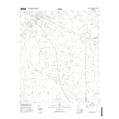 2017 Hazlehurst South2017 Print · USGSHazlehurst and the surrounding Jeff Davis County countryside are captured here in the late twenty-teens, showing the shift from town streets to river-bottom lands. Researchers can locate Bazemore Cem, trace the course of Big Satilla Cr, and follow the Jeff Davis and Appling Co line.
 - 2017 Map of Denton, 2017 Print
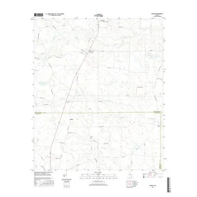 2017 Denton2017 Print · USGSDenton and its surrounding farmlands are shown in fine detail during the late twenty-teens, capturing the rural character of the Jeff Davis and Coffee County line. Genealogists can locate family-named sites such as Burkett Cem, Lehigh, and Wilcox Cem among the wetlands.
 - 2017 Map of Broxton NE, 2017 Print
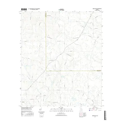 2017 Broxton NE2017 Print · USGSBroxton and the timberlands of Coffee and Jeff Davis counties are shown here in the late twenty-tens. Researchers can locate family landmarks like Cato Cemetery and Williams Cemetery or trace the waters of Rock Falls and Bennie Dockery Pond.
Showing maps 1-25 of 30
Top cities of Jeff Davis County
Frequently asked questions
- What are the different types of historical maps available for Jeff Davis County?
- What is the oldest map of Jeff Davis County?
- Where can I purchase historical maps of Jeff Davis County for my home or office?
- Where can I download high-res historical maps of Jeff Davis County?
- Are there historical topographic maps available for Jeff Davis County?
- Is there historical aerial imagery available for Jeff Davis County?
- Where are historical maps of Jeff Davis County sourced from?