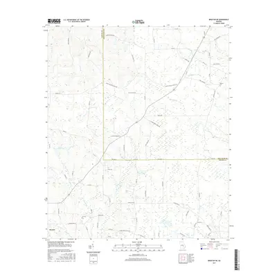
2017 Map of Broxton NE
USGS Topo · Published 2017About this map
Broxton anchors the southwestern corner of this South Georgia landscape, where the border of Jeff Davis and Coffee counties zigzags through a network of creeks and timberlands. The terrain is defined by its low-lying drainage patterns, including the notable Rock Falls and the headwaters of Rock Creek, Moccasin Creek, and Ninemile Creek. This environment supports a rural infrastructure of winding dirt roads and small family landmarks, reflecting the area's agricultural and forestry heritage.
Find a feature on this map
72 named features on this map. Tap any name to fly to it.
Don’t see what you’re looking for? This feature index may not catch every label — zoom into the map to look around manually.
Map Details
Editions of this 2017 Broxton NE Map
This is the sole edition of this map. No revisions or reprints were ever made.
Other maps of this area

1953 · Waycross
USGS Topo · 1:250,000

1958 · Waycross
USGS Topo · 1:250,000

1971 · Douglas North
USGS Topo · 1:24,000

1971 · Nicholls
USGS Topo · 1:24,000

1971 · Roper
USGS Topo · 1:24,000

1971 · Snipesville
USGS Topo · 1:24,000

1971 · Broxton NE
USGS Topo · 1:24,000

1971 · Denton
USGS Topo · 1:24,000

1972 · Broxton North
USGS Topo · 1:24,000

1972 · Jacksonville
USGS Topo · 1:24,000