2000s (21st Century) Maps of Jones County, Georgia
Explore 70 historic maps of Jones County from the 2000s (21st Century). These maps offer a rare glimpse into what life looked like during the 2000s — showing old roads, neighborhoods, homes, and landmarks that have changed or disappeared over time.
Whether you're researching your family's past, planning a metal detecting trip, or studying how Jones County's landscape evolved across the 2000s, these high-resolution maps are a powerful tool for exploring the history of this region.
- Focus on a specific era: All maps on this page are from the 2000s, giving you a focused view of this time period.
- See what’s changed: Compare century-old streets, trails, and buildings to today's modern landscape using overlays and satellite layers.
- Research with precision: Use these maps for genealogy, historical research, land use analysis, or educational projects.
- View, download, or print: Maps are fully viewable online in high resolution, and can be downloaded or printed for your own records.
Start exploring Jones County's history through authentic maps from the 2000s. This is your window into the past.
Jones County, GA maps
(70)- 2011 Map of Stanfordville, 2011 Print
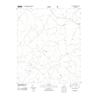 2011 Stanfordville2011 Print · USGSJones County at the start of the 2010s was a landscape defined by timberlands and recreation. Researchers can locate Fullerton Cemetery, trace the many branches of Cedar Creek, and identify sporting sites like Mathis Hunt Camp and Union Hill.
 - 2011 Map of Haddock, 2011 Print
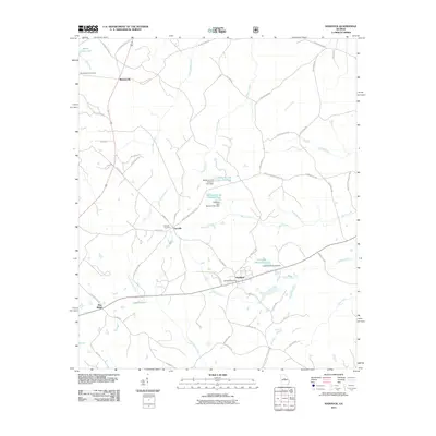 2011 Haddock2011 Print · USGSJones County at the start of the 2010s reveals a landscape of established rural communities and managed water resources. Genealogists and local historians can trace family locations near Fortville Cemetery or locate landmarks like the Haddock Post Office and Lake Jonesco.
 - 2011 Map of Dames Ferry, 2011 Print
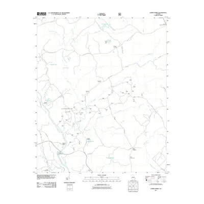 2011 Dames Ferry2011 Print · USGSMonroe County and the Ocmulgee River valley are captured here in the early twenty-first century, showing a landscape defined by historic river crossings and forest lookouts. Genealogists can locate family burial sites like Crutchfield Cemetery or trace the early paths around Dames Ferry.
 - 2011 Map of Gray, 2011 Print
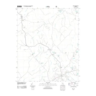 2011 Gray2011 Print · USGSJones County at the start of the 2010s reveals a landscape of small communities and private reservoirs centered around Gray. Genealogists can trace family heritage through sites like Round Oak Cemetery, Bradley Cemetery, and the Round Oak Lookout.
 - 2011 Map of Hillsboro, 2011 Print
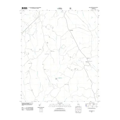 2011 Hillsboro2011 Print · USGSHillsboro and Adgateville appear in the early 2010s within a rural landscape defined by hunting camps and quiet family cemeteries. Researchers can locate specific sites like the John Tillman Cemetery, Hillsboro Post Office, and the Piedmont Wildlife Lake dam.
 - 2011 Map of Berner, 2011 Print
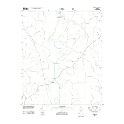 2011 Berner2011 Print · USGSCentral Georgia at the start of the decade reveals a landscape of river confluences and quiet rural crossroads. Genealogists and local historians can trace family ties at Enon Cemetery or Willis Cemetery and locate landmarks like the Gladesville Lookout Tower.
 - 2011 Map of Resseaus Crossroads, 2011 Print
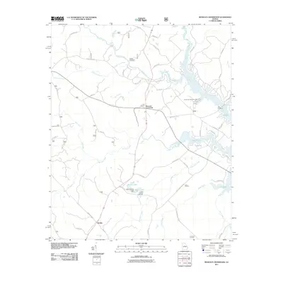 2011 Resseaus Crossroads2011 Print · USGSJones County at the start of the twenty-first century reveals a landscape shaped by the waters of Lake Sinclair and traditional Georgia timberlands. Local researchers can trace family landmarks and rural routes near Resseaus Crossroads, Key Cemetery, and the settlement of Ethridge.
 - 2011 Map of East Juliette, 2011 Print
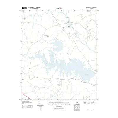 2011 East Juliette2011 Print · USGSMonroe County’s riverfront comes into focus in this late 2000s study of the area surrounding Juliette and the broad Ocmulgee River. Genealogists and local historians can trace landmarks like Saint Peters Rock Cemetery, Williams Lake, and the small community of Percale.
 - 2011 Map of James, 2011 Print
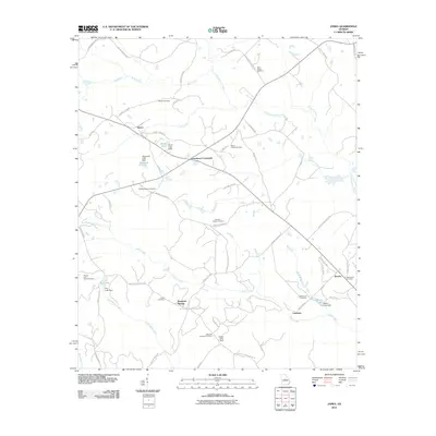 2011 James2011 Print · USGSWilkinson County at the turn of the decade is a landscape of rural crossroads and family homesteads. Genealogists and historians can trace lineage through numerous burial sites like William Woods Cemetery and settlements such as James and Brooks.
 - 2011 Map of Dry Branch, 2011 Print
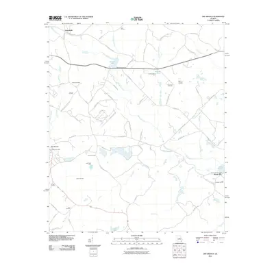 2011 Dry Branch2011 Print · USGSThe rural communities east of Macon are documented here during the early twenty-first century, showing a landscape defined by creeks and local crossroads. Researchers can locate many family landmarks, from Myricks Mill to the Tharp Cemetery and Antioch Cemetery.
 - 2011 Map of Macon NE, 2011 Print
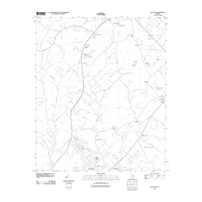 2011 Macon NE2011 Print · USGSBibb County's eastern landscape is shown in detail during a period of suburban growth and community preservation. Genealogists can locate numerous local burial sites like the Walker - Pitts Cemetery and Stiles Cemetery or trace the family names behind Nelsons Lake and Newberry Lake.
 - 2011 Map of Macon NW, 2011 Print
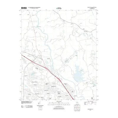 2011 Macon NW2011 Print · USGSNorthwest of Macon in the early 2000s, this area shows the transition from historic river crossings to modern residential suburbs. Genealogists and researchers can locate several burial sites like Sardis and McKay Cemetery, or trace old landmarks such as Whitehouse Plantation and Popes Ferry.
 - 2011 Map of Macon East, 2011 Print
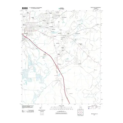 2011 Macon East2011 Print · USGSMacon and its eastern suburbs are shown here just after the first decade of the new millennium. Researchers can trace the proximity of modern neighborhoods like Kings Park to ancient sites like Lamar Mounds and Ocmulgee National Monument.
 - 2011 Map of Gordon, 2011 Print
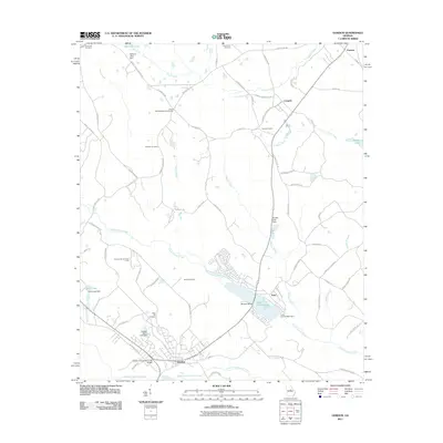 2011 Gordon2011 Print · USGSWilkinson County at the start of the 2010s shows a landscape shaped by kaolin mining and historic rural settlements. Researchers can trace local genealogy through the Union Hill Methodist Churchyard or explore landmarks like Stevens Pottery and Lake Tchukolaho.
 - 2014 Map of Haddock, 2014 Print
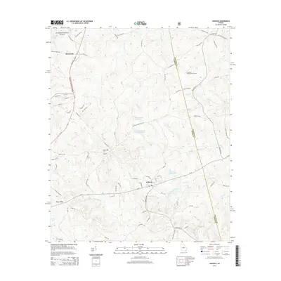 2014 Haddock2014 Print · USGSJones County comes into focus in this early twenty-first-century survey as the community of Haddock serves as a crossroads. Genealogists and local historians can trace family roots at the Fortville Cemetery or locate the Brookline - Meadowmere Airport.
 - 2014 Map of Stanfordville, 2014 Print
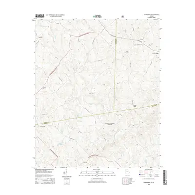 2014 Stanfordville2014 Print · USGSJasper, Jones, and Putnam counties meet in this 2014 survey of the Georgia Piedmont within the Oconee National Forest. Researchers can trace local lineage and land use through landmarks like Fullerton Cem, the settlement at Stanfordville, and the Mathis Lookout.
 - 2014 Map of Dames Ferry, 2014 Print
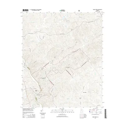 2014 Dames Ferry2014 Print · USGSThe banks of the Ocmulgee River and the depths of the Oconee National Forest define this Georgia landscape during the early twenty-first century. Genealogists can locate several local burial sites such as Crutchfield Cem and New Hope Cem, while tracing old routes like Old Dames Ferry Rd.
 - 2014 Map of Berner, 2014 Print
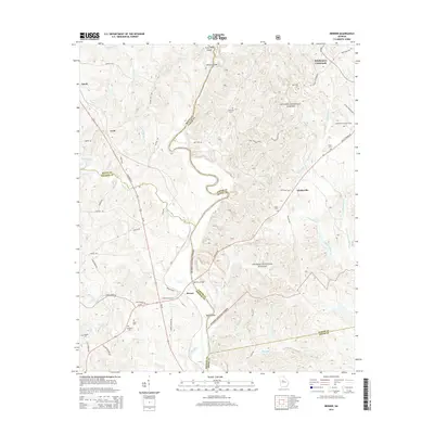 2014 Berner2014 Print · USGSNear the confluence of the Ocmulgee and Towaliga Rivers, this area of Jasper and Butts Counties shows a landscape transitioning from forest to farm in the early 21st century. Researchers can locate rural landmarks like the Gladesville Lookout Tower, the Bill Key Bridge, and several family burial sites such as Enon Cem.
 - 2014 Map of Resseaus Crossroads, 2014 Print
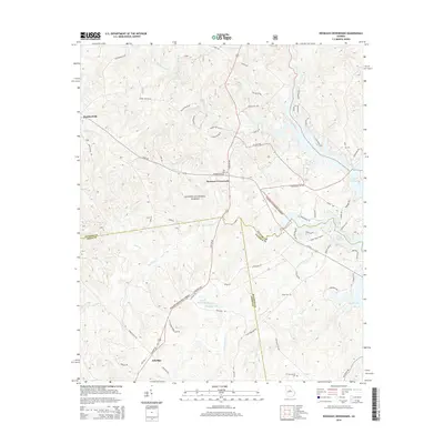 2014 Resseaus Crossroads2014 Print · USGSThe rural crossroads of Jones County are captured here just as lakeside developments began to edge into the Oconee National Forest. Genealogists and local historians can locate several family burial sites, including Key Cem, Stiles Cem, and Humphries Cem.
 - 2014 Map of Hillsboro, 2014 Print
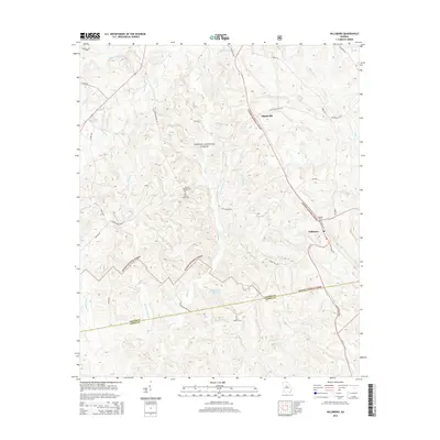 2014 Hillsboro2014 Print · USGSThe woodlands of the Oconee National Forest in central Georgia define this modern landscape. Researchers can locate family landmarks like the John H Tillman Cem, the community of Adgateville, and the waters of Stalking Head Cr.
 - 2014 Map of Dry Branch, 2014 Print
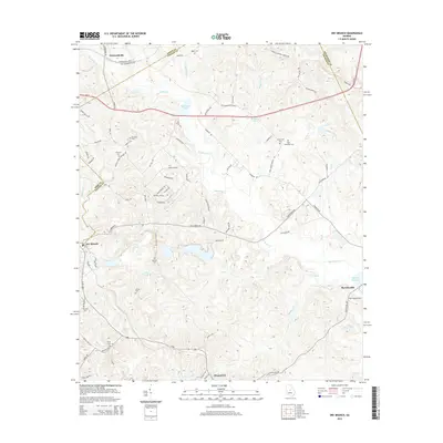 2014 Dry Branch2014 Print · USGSTwiggs County and the borderlands of Jones and Wilkinson counties are seen here in the early twenty-first century. Genealogists can locate several family-named burial grounds like Epps - Champion Cem and Kitchens Cem, or trace the waters of Big Sandy Cr through Myricks Mill.
 - 2014 Map of James, 2014 Print
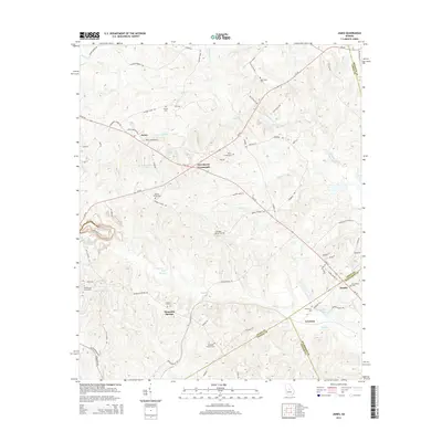 2014 James2014 Print · USGSCentral Georgia's rural borders come to life in this survey of the communities where Jones, Wilkinson, and Twiggs Counties meet. Genealogists can locate several family burial grounds including Marys Chapel Cem, James Cem, and the Whitehurst Cem.
 - 2014 Map of Macon East, 2014 Print
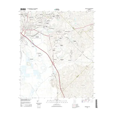 2014 Macon East2014 Print · USGSMacon and its eastern suburbs are shown in detail during the early twenty-first century, centered on the historic banks of the Ocmulgee River. Researchers can trace old family burial grounds like Stone Creek Cem and explore the site of the Lamar Mounds.
 - 2014 Map of Macon NW, 2014 Print
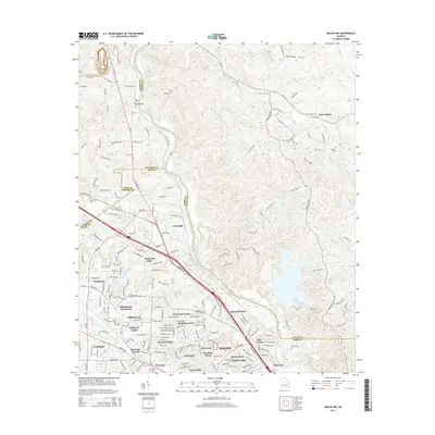 2014 Macon NW2014 Print · USGSNorth Macon and the neighboring corners of Jones and Monroe counties are captured here during a period of significant suburban growth. Genealogists and local historians can trace family markers at Sardis Cem or McKay Cem and locate landmarks like Wesleyan Coll and Toms Ford.
 - 2014 Map of Macon NE, 2014 Print
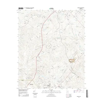 2014 Macon NE2014 Print · USGSJones County and the northeastern outskirts of Macon are shown in the early twenty-first century, a landscape of residential growth among historic rural communities. Researchers can trace family history through several local cemeteries including Walker-Pitts Cem and Wincey Cem, or locate landmarks in Postell and Cumslo.
Showing maps 1-25 of 70
Top cities of Jones County
Frequently asked questions
- What are the different types of historical maps available for Jones County?
- What is the oldest map of Jones County?
- Where can I purchase historical maps of Jones County for my home or office?
- Where can I download high-res historical maps of Jones County?
- Are there historical topographic maps available for Jones County?
- Is there historical aerial imagery available for Jones County?
- Where are historical maps of Jones County sourced from?