Old Maps of Stockton, Georgia for Hiking & Exploration
Hike through history with 17 historic maps of Stockton. Explore old trails, ghost towns, and forgotten backroads — perfect for outdoor adventurers and local explorers.
- Rediscover forgotten places: Map out old mining camps, roads, and footpaths that no longer exist on modern maps.
- Layer with modern tools: Combine with LiDAR or satellite views to plan hikes through historical terrain.
- Made for exploration: Popular among hikers, overlanders, and local history lovers.
Use these maps to find adventure and explore the hidden past of Stockton.
Stockton, GA maps
(17)- 1954 Map of Valdosta, 1967 Print
 1954 Valdosta1967 Print · USGSThe South Georgia and North Florida borderlands are captured here in the mid-fifties, showing the deep timber and wetland networks of the coastal plain. Researchers can trace the path of the Atlantic Coast Line through Valdosta or explore the interior of the Okefenokee Swamp.2 unique versions available
 - 1958 Map of Valdosta
 1958 Valdosta1958 Print · USGSSouth Georgia and North Florida are captured here in the mid-fifties, showing the vast Okefenokee Swamp and the vital timber and rail corridors connecting the two states. Researchers can locate the footprint of Moody Air Force Base, trace the Live Oak Perry and Gulf railroad, or find early community sites like Bakers Mill and Paradise Church.
 - 1959 Map of Valdosta
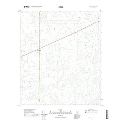
 1959 Valdosta1959 Print · USGSThe Georgia-Florida borderlands in the mid-fifties reveal a landscape of massive blackwater swamps and emerging military aviation hubs. Genealogists and historians can trace rail-stop towns like Fargo and Stockton or explore the interior reaches of the Okefenokee Swamp and Billys Island.
 - 1968 Map of Naylor, 1971 Print
 1968 Naylor1971 Print · USGSThe borderlands of Lowndes and Lanier counties are captured here in the late sixties, where the railroad and river define the rural pace of life. Genealogists and local historians can locate St Marys Ch, the community at Naylor, and Foreman Cem.3 unique versions available
 - 1971 Map of Stockton, 1976 Print
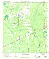
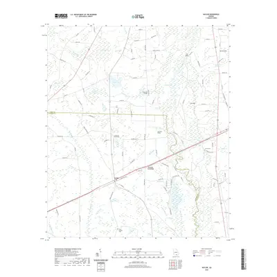
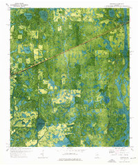 1971 Stockton1976 Print · USGSStockton and the surrounding Georgia wetlands are captured here in the early seventies as the railroad still dictated the local geography. Researchers can find New Prospect Ch and trace the many family-named depressions like Epsey Bay and Lightsey Bay.
 - 1980 Map of Okefenokee Swamp, 1981 Print
 1980 Okefenokee Swamp1981 Print · USGSThe Georgia-Florida borderlands come to life in the early 1980s, centered on the immense wilderness of the Okefenokee Swamp. Genealogists and historians can trace rail-stop settlements like Fargo and Fruitland or explore the interior geography of Billys Island and Trail Ridge.
 - 1981 Map of Valdosta
 1981 Valdosta1981 Print · USGSCrossing the Georgia and Florida border in the early eighties, this survey captures the agricultural and military landscape of the coastal plain. Genealogists and historians can trace the rail-linked growth of Valdosta and Quitman or find rural landmarks like New Hope Church and Lake Miccosukee.
 - 2011 Map of Naylor, 2011 Print
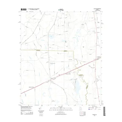
 2011 Naylor2011 Print · USGSCovers Stockton, including Monks Crossing, Naylor, and other nearby areas
 - 2011 Map of Stockton, 2011 Print
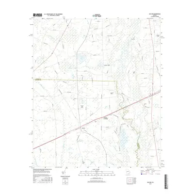
 2011 Stockton2011 Print · USGSCovers Stockton, including Du Pont, Greenwood, and other nearby areas
 - 2014 Map of Naylor, 2014 Print
 2014 Naylor2014 Print · USGSCovers Stockton, including Monks Crossing, Naylor, and other nearby areas
 - 2014 Map of Stockton, 2014 Print
 2014 Stockton2014 Print · USGSCovers Stockton, including Du Pont, Greenwood, and other nearby areas
 - 2017 Map of Stockton, 2017 Print
 2017 Stockton2017 Print · USGSCovers Stockton, including Du Pont, Greenwood, and other nearby areas
 - 2017 Map of Naylor, 2017 Print
 2017 Naylor2017 Print · USGSCovers Stockton, including Monks Crossing, Naylor, and other nearby areas
 - 2020 Map of Naylor, 2020 Print
 2020 Naylor2020 Print · USGSCovers Stockton, including Monks Crossing, Naylor, and other nearby areas
 - 2020 Map of Stockton, 2020 Print
 2020 Stockton2020 Print · USGSCovers Stockton, including Du Pont, Greenwood, and other nearby areas
 - 2024 Map of Stockton, 2024 Print
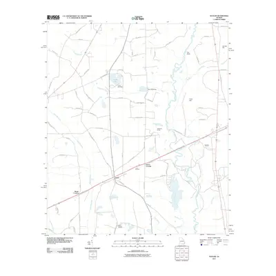
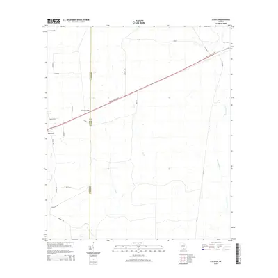
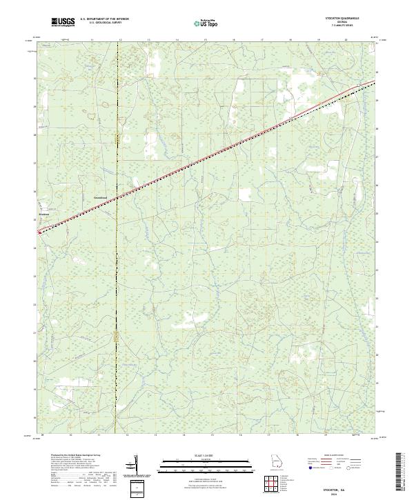 2024 Stockton2024 Print · USGSCoastal plain wetlands and small rural settlements define this Lanier and Clinch County borderland in the early 2020s. Researchers can trace land use patterns around Stockton and Greenwood or locate family-named features like Lightsey Bay and Timmerman Bay.
 - 2024 Map of Naylor, 2024 Print
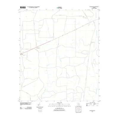
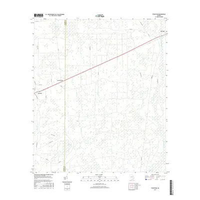
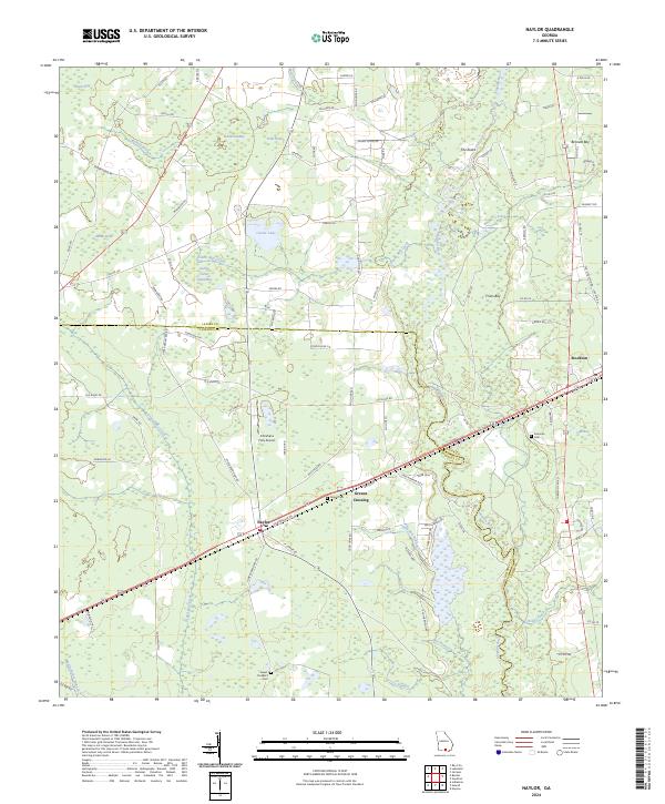 2024 Naylor2024 Print · USGSThe borderlands of Lowndes and Lanier counties come to life in this modern survey of the South Georgia coastal plain. Genealogists can locate family landmarks like Sweet Prospect Cem and James Cem, while tracing the rural routes connecting Naylor and Stockton.
End of results
Showing maps 1-17 of 17
Top cities near Stockton
- Valdosta historical maps
- Lakeland historical maps
- Homerville historical maps
- Dasher historical maps
- Ray City historical maps
- Du Pont historical maps
Frequently asked questions
- What are the different types of historical maps available for Stockton?
- What is the oldest map of Stockton?
- Where can I purchase historical maps of Stockton for my home or office?
- Where can I download high-res historical maps of Stockton?
- Are there historical topographic maps available for Stockton?
- Is there historical aerial imagery available for Stockton?
- Where are historical maps of Stockton sourced from?