
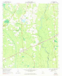
1968 Map of Naylor
USGS Topo · Published 1971About this map
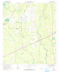
Naylor and Stockton serve as the primary hubs in this late 1960s portrait of the Lowndes and Lanier county line. The Seaboard Coast Line railroad dictates the local geography, anchoring small outposts like Greens Crossing and Monks Crossing as it cuts across the landscape. The region is defined by its intricate water systems, where the winding Alapaha River meets expansive bays such as Grand Bay and Friars Bay.
Find a feature on this map
44 named features on this map. Tap any name to fly to it.
Don’t see what you’re looking for? This feature index may not catch every label — zoom into the map to look around manually.
Map Details
Editions of this 1968 Naylor Map
3 editions found
Other maps of this area

1953 · Waycross
USGS Topo · 1:250,000

1954 · Valdosta
USGS Topo · 1:250,000

1958 · Valdosta
USGS Topo · 1:250,000

1958 · Waycross
USGS Topo · 1:250,000

1959 · Valdosta
USGS Topo · 1:250,000

1968 · Lakeland
USGS Topo · 1:24,000

1971 · Indianola
USGS Topo · 1:24,000

1971 · Howell
USGS Topo · 1:24,000

1971 · Stockton
USGS Topo · 1:24,000
1971 · Bemiss
USGS Topo · 1:24,000