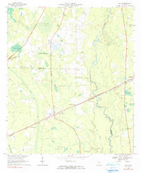
1968 Map of Naylor
USGS Topo · Published 1991About this map
Naylor serves as the central hub of this South Georgia landscape, situated at the intersection of local roads and the Seaboard Coast Line railroad. The terrain is defined by the winding course of the Alapaha River and a complex network of wetlands and bays, including Grand Bay and Friars Bay. The map documents a rural community supported by faith and tradition, marked by numerous small churches such as St Marys Ch, Good Hope Ch, and Carter Chapel.
Find a feature on this map
39 named features on this map. Tap any name to fly to it.
Don’t see what you’re looking for? This feature index may not catch every label — zoom into the map to look around manually.
Map Details
Editions of this 1968 Naylor Map
3 editions found
Other maps of this area

1953 · Waycross
USGS Topo · 1:250,000

1954 · Valdosta
USGS Topo · 1:250,000

1958 · Valdosta
USGS Topo · 1:250,000

1958 · Waycross
USGS Topo · 1:250,000

1959 · Valdosta
USGS Topo · 1:250,000

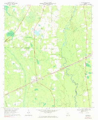
1968 · Naylor
USGS Topo · 1:24,000

1968 · Lakeland
USGS Topo · 1:24,000

1971 · Indianola
USGS Topo · 1:24,000

1971 · Howell
USGS Topo · 1:24,000

1971 · Stockton
USGS Topo · 1:24,000