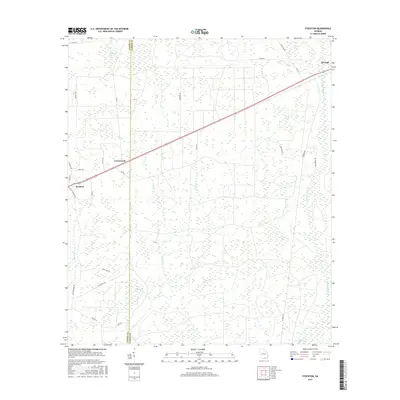
2017 Map of Stockton
USGS Topo · Published 2017About this map
The boundary between Lanier Co and Clinch Co anchors this coastal plain landscape, where the settlements of Stockton and Du Pont sit along a primary transportation corridor. The terrain is defined by a dense network of swampy depressions or "bays," including Clothespole Bay, Timmerman Bay, and Pigeon Bay, which punctuate the pine-heavy lowlands. These features, along with winding watercourses like Suwanoochee Cr and Cow Cr, dictated the placement of local roads such as Horage Rd and Buck Rd. The map illustrates a contemporary pattern of rural Georgia land use, with small communities like Greenwood and various farms accessed by a web of county routes and trails like Buckcreek Trl.
Find a feature on this map
37 named features on this map. Tap any name to fly to it.
Don’t see what you’re looking for? This feature index may not catch every label — zoom into the map to look around manually.
Map Details
Editions of this 2017 Stockton Map
This is the sole edition of this map. No revisions or reprints were ever made.
Other maps of this area

1953 · Waycross
USGS Topo · 1:250,000

1954 · Valdosta
USGS Topo · 1:250,000

1958 · Valdosta
USGS Topo · 1:250,000

1958 · Waycross
USGS Topo · 1:250,000

1959 · Valdosta
USGS Topo · 1:250,000

1968 · Naylor
USGS Topo · 1:24,000

1968 · Lakeland
USGS Topo · 1:24,000

1971 · Thelma
USGS Topo · 1:24,000

1971 · Howell
USGS Topo · 1:24,000

1971 · Du Pont
USGS Topo · 1:24,000