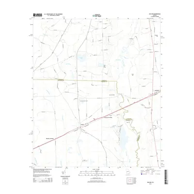
2014 Map of Naylor
USGS Topo · Published 2014About this map
The Alapaha River snakes through the borderlands of Lowndes and Lanier counties, defining a landscape of wetlands and timbered flats in southern Georgia. Small rural settlements like Naylor and Stockton anchor the local road network, while the history of the timber industry is hinted at by features such as Dixon Mill Cr and the nearby Dixon Mill Bridge. The map details several historic crossings and family-named landmarks, including Monks Crossing and Greens Crossing, which follow the primary transit corridor.
Find a feature on this map
89 named features on this map. Tap any name to fly to it.
Don’t see what you’re looking for? This feature index may not catch every label — zoom into the map to look around manually.
Map Details
Editions of this 2014 Naylor Map
This is the sole edition of this map. No revisions or reprints were ever made.
Other maps of this area

1953 · Waycross
USGS Topo · 1:250,000

1954 · Valdosta
USGS Topo · 1:250,000

1958 · Valdosta
USGS Topo · 1:250,000

1958 · Waycross
USGS Topo · 1:250,000

1959 · Valdosta
USGS Topo · 1:250,000

1968 · Naylor
USGS Topo · 1:24,000

1968 · Lakeland
USGS Topo · 1:24,000

1971 · Indianola
USGS Topo · 1:24,000

1971 · Howell
USGS Topo · 1:24,000

1971 · Stockton
USGS Topo · 1:24,000