2010s Maps of Lowndes County, Georgia
Explore 46 historic maps of Lowndes County from the 2010s. These maps offer a rare glimpse into what life looked like during the 2010s — showing old roads, neighborhoods, homes, and landmarks that have changed or disappeared over time.
Whether you're researching your family's past, planning a metal detecting trip, or studying how Lowndes County's landscape evolved across the 2010s, these high-resolution maps are a powerful tool for exploring the history of this region.
- Focus on a specific era: All maps on this page are from the 2010s, giving you a focused view of this time period.
- See what’s changed: Compare century-old streets, trails, and buildings to today's modern landscape using overlays and satellite layers.
- Research with precision: Use these maps for genealogy, historical research, land use analysis, or educational projects.
- View, download, or print: Maps are fully viewable online in high resolution, and can be downloaded or printed for your own records.
Start exploring Lowndes County's history through authentic maps from the 2010s. This is your window into the past.
Lowndes County, GA maps
(46)- 2011 Map of Indianola, 2011 Print
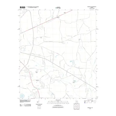 2011 Indianola2011 Print · USGSThe eastern outskirts of Valdosta in the early 2010s are defined by the expansive Mud Swamp and small settlements like Indianola. Local researchers can trace family roots through the Thomas Cemetery and Green Cemetery or locate landmarks like the Comanche Landing Airport.
 - 2011 Map of Howell, 2011 Print
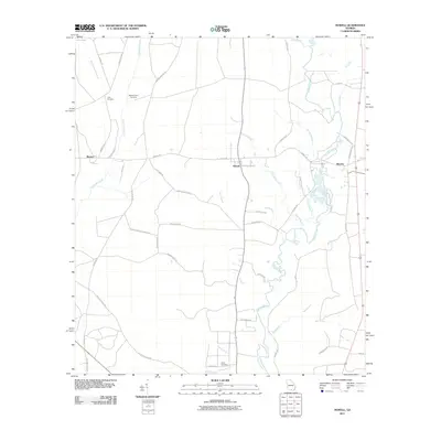 2011 Howell2011 Print · USGSIn the early twenty-first century, the Alapaha River country of south Georgia remains a land of quiet rural settlements and family legacies. Genealogists and historians can trace local roots through sites like Unity Cemetery, Wetherington Cemetery, and the community at Howell.
 - 2011 Map of Valdosta, 2011 Print
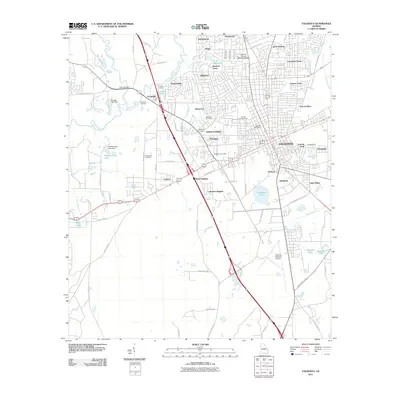 2011 Valdosta2011 Print · USGSThe city of Valdosta at the start of the 2010s shows a landscape of growing suburbs and deep-rooted history. Genealogists and researchers can trace family landmarks like Troupville Cemetery and Remerton Cemetery or locate industrial sites such as Langdale Yard.
 - 2011 Map of Octahatchee, 2011 Print
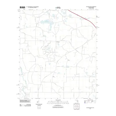 2011 Octahatchee2011 Print · USGSHamilton County, Florida, is shown here in the early twenty-first century as a rural landscape of winding riverbanks and quiet lakes. Genealogists can locate family burial sites at Blair Cemetery and McCall Cemetery near the shores of Lake Octahatchee.
 - 2011 Map of Bemiss, 2011 Print
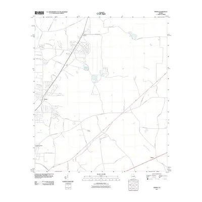 2011 Bemiss2011 Print · USGSLowndes County rural life and community centers are documented here in the early 21st century. Genealogists can trace family connections through sites like Antioch Cemetery or follow the waters of Grand Bay Creek and Mission Pond.
 - 2011 Map of Nankin, 2011 Print
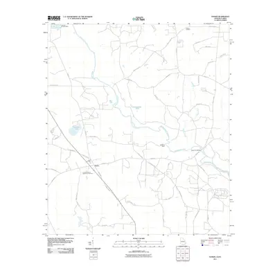 2011 Nankin2011 Print · USGSNankin and the surrounding Brooks County countryside are seen here as the new millennium progressed, defined by the winding Withlacoochee River. Genealogists and researchers can locate family sites at the Columbia Primitive Baptist Church Cemetery, Wade Cemetery, or the crossing at Rocky Ford Bridge.
 - 2011 Map of Hahira East, 2011 Print
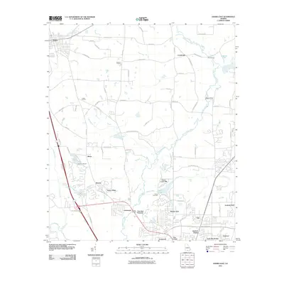 2011 Hahira East2011 Print · USGSThe Lowndes County countryside north of Valdosta is shown here during a period of modern suburban growth. Genealogists and local historians can trace family land near Passmore Cemetery, the old settlement of Franklinville, and crossings like Skipper Bridge.
 - 2011 Map of Ousley, 2011 Print
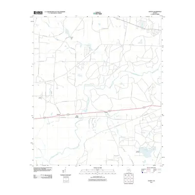 2011 Ousley2011 Print · USGSNear the Florida border in the early twenty-first century, this Brooks County landscape is defined by the winding Withlacoochee River. Genealogists and researchers can trace local roots through the Lebanon Cemetery and rural settlements like Ousley and Blue Springs.
 - 2011 Map of Hahira West, 2011 Print
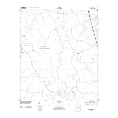 2011 Hahira West2011 Print · USGSThe rural borderlands between Lowndes and Brooks Counties are documented here just after the turn of the millennium. Researchers can locate many local burial sites like Rizer Cemetery and Miller Cemetery or trace private aviation at Lace Airport.
 - 2011 Map of Naylor, 2011 Print
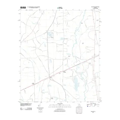 2011 Naylor2011 Print · USGSSouth Georgia river life and rural junctions take center stage in this 2011 survey of the Lowndes County landscape. Genealogists and local historians can trace family roots through the James Cemetery or locate old crossings at Greens Crossing and Monks Crossing.
 - 2011 Map of Clyattville, 2011 Print
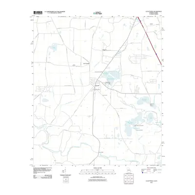 2011 Clyattville2011 Print · USGSThe Georgia-Florida borderlands near Valdosta come into focus in the early twenty-first century, showing a landscape of timber-industry lakes and rural settlements. Researchers can trace local lineage at Hunter Cemetery or locate the site of Old Clyattville near the winding Withlacoochee River.
 - 2011 Map of Lake Park, 2011 Print
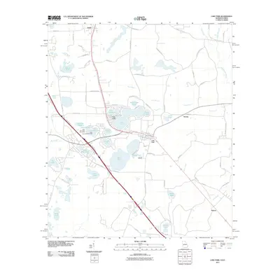 2011 Lake Park2011 Print · USGSSouthern Georgia's lake country is captured in the early twenty-first century, showing a landscape defined by its numerous natural ponds and rural settlements. Researchers can trace the boundaries of the Lake Park Cemetery or locate homes near Ocean Pond and Loch Laurel.
 - 2011 Map of New Lois, 2011 Print
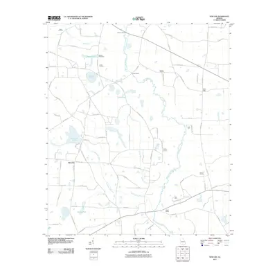 2011 New Lois2011 Print · USGSCoastal plain agriculture and river life define this corner of Lowndes County in the early twenty-first century. Researchers can trace family history through several burial grounds like Baskins Cemetery and find landmarks like Futchs Pond and Camp Tygart.
 - 2011 Map of Ray City, 2011 Print
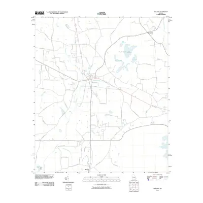 2011 Ray City2011 Print · USGSRay City and its surrounding Berrien County wetlands are captured here in the early twenty-first century, showing a landscape defined by historic millponds and rural settlements. Researchers can trace family sites near Ray City Cemetery or follow the water to Rays Millpond and Teeterville.
 - 2011 Map of Cecil, 2011 Print
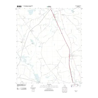 2011 Cecil2011 Print · USGSCook County and the area around Cecil are shown during a period of steady rural development in the early twenty-first century. Researchers can trace historic routes like Old Coffee Rd and locate family burial sites at Jerusalem Cemetery and Gornto Cemetery.
 - 2012 Map of Octahatchee, 2012 Print
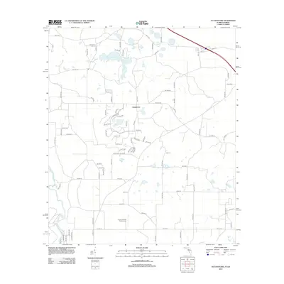 2012 Octahatchee2012 Print · USGSIn this corner of Hamilton County during the early 2010s, modern subdivisions began to wrap around Lake Octahatchee. Local historians can trace family roots at McCall Cem and Blair Cem or locate the rural Squires Aviation Ranch Airport near the Withlacoochee River.
 - 2014 Map of Lake Park, 2014 Print
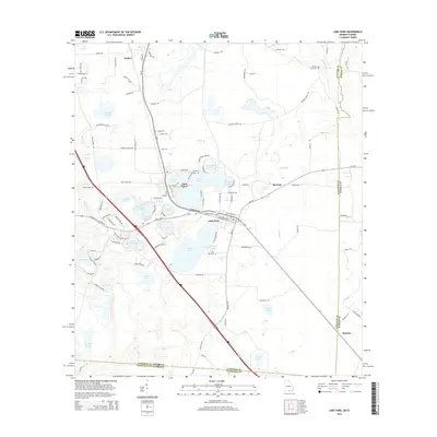 2014 Lake Park2014 Print · USGSThe Georgia-Florida borderlands come into focus here during the early twenty-first century, centered on the water-rich landscape of Lowndes County. Researchers can trace the legacy of family-named features like Loch Laurel and Browns Pond or locate ancestral sites at Hickory Grove Cemetery.
 - 2014 Map of Valdosta, 2014 Print
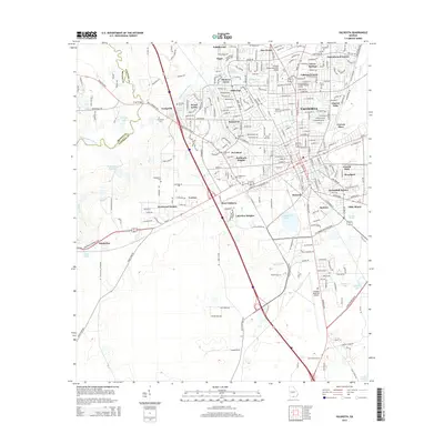 2014 Valdosta2014 Print · USGSValdosta and its surrounding Lowndes County neighborhoods are documented in this 2014 survey. Researchers can trace local history through sites like Sunset Hill Cem, Georgia Military College-Valdosta Campus, and the riverside site of Troupville.
 - 2014 Map of Naylor, 2014 Print
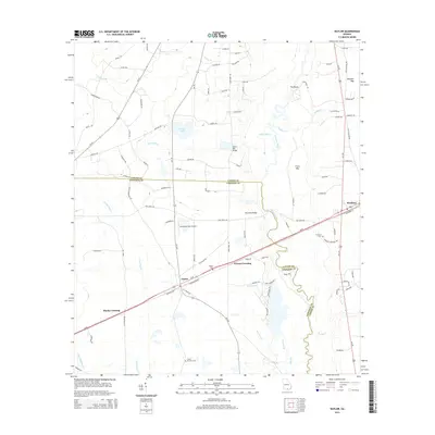 2014 Naylor2014 Print · USGSThe border of Lowndes and Lanier counties comes alive in the mid-2010s, centered on the riverine corridors of southern Georgia. Researchers can trace historic family burial sites like Sweet Prospect Cem and follow the paths through Naylor and Stockton.
 - 2014 Map of Indianola, 2014 Print
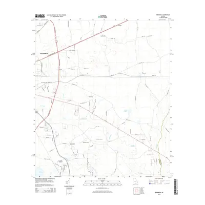 2014 Indianola2014 Print · USGSThe Lowndes County countryside east of Valdosta is captured here in the early twenty-first century, featuring a landscape defined by significant wetlands and small rural settlements. Genealogists and local researchers can locate Thomas Cem, McClellan Airport, and the quiet community of Indianola.
 - 2014 Map of Hahira East, 2014 Print
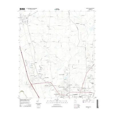 2014 Hahira East2014 Print · USGSLowndes County enters a period of suburban transition in the 2010s, as residential growth moves north from Valdosta. Genealogists and local historians can trace family plots at Passmore Cem or locate old river crossings like Tyler Bridge on the Withlacoochee River.
 - 2014 Map of Ousley, 2014 Print
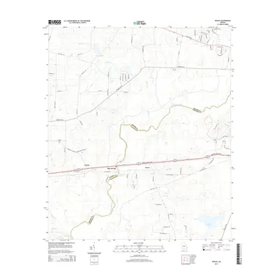 2014 Ousley2014 Print · USGSThe Brooks and Lowndes county line comes alive in the mid-2010s as it follows the winding Withlacoochee River. Researchers can trace old family footprints near Lebanon Cemetery or explore the settlements of Blue Springs and Ousley.
 - 2014 Map of Howell, 2014 Print
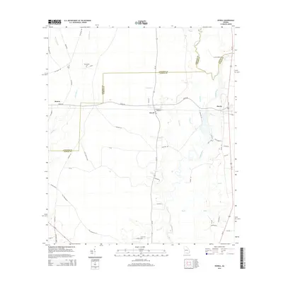 2014 Howell2014 Print · USGSEchols County at the turn of the twenty-first century remains a landscape of river bends and quiet country crossroads. Genealogists can locate family landmarks like Wetherington Cem and Carter Cem or trace the winding course of the Alapaha River.
 - 2014 Map of Clyattville, 2014 Print
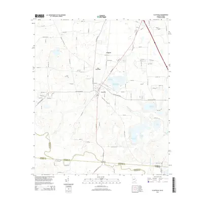 2014 Clyattville2014 Print · USGSSouthern Georgia's borderlands near the Florida line are captured here in the early twenty-first century, showing a landscape of industry and heritage. Genealogists can locate several family burial grounds including Forest Grove Cem and Lane Cem near the Withlacoochee River.
 - 2014 Map of Nankin, 2014 Print
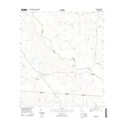 2014 Nankin2014 Print · USGSNankin and the surrounding riverlands of Brooks and Lowndes counties are documented here in the early twenty-first century. Researchers can trace family roots at the Columbia Primitive Baptist Church Cem or map the river at Godwin Bluff.
Showing maps 1-25 of 46
Top cities of Lowndes County
- Valdosta historical maps
- Hahira historical maps
- Remerton historical maps
- Dasher historical maps
- Lake Park historical maps
Frequently asked questions
- What are the different types of historical maps available for Lowndes County?
- What is the oldest map of Lowndes County?
- Where can I purchase historical maps of Lowndes County for my home or office?
- Where can I download high-res historical maps of Lowndes County?
- Are there historical topographic maps available for Lowndes County?
- Is there historical aerial imagery available for Lowndes County?
- Where are historical maps of Lowndes County sourced from?