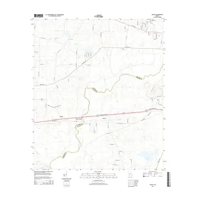
2014 Map of Ousley
USGS Topo · Published 2014About this map
The Withlacoochee River carves a winding path through the borderlands of Brooks and Lowndes counties, defining the character of this South Georgia landscape. In 2014, the area remains a mix of agricultural tracts and small settlements like Durden, Blue Springs, and Ousley. These communities are clustered along the east-west corridor of US-84 and the historic Old Quitman Hwy, which trace the higher ground above the river's floodplains.
Find a feature on this map
78 named features on this map. Tap any name to fly to it.
Don’t see what you’re looking for? This feature index may not catch every label — zoom into the map to look around manually.
Map Details
Editions of this 2014 Ousley Map
This is the sole edition of this map. No revisions or reprints were ever made.
Other maps of this area

1954 · Valdosta
USGS Topo · 1:250,000

1956 · Clyattville
USGS Topo · 1:24,000

1956 · Nankin
USGS Topo · 1:24,000

1956 · Baden
USGS Topo · 1:24,000

1958 · Valdosta
USGS Topo · 1:250,000

1959 · Valdosta
USGS Topo · 1:250,000

1961 · Hahira East
USGS Topo · 1:24,000

1961 · Quitman
USGS Topo · 1:62,500

1961 · Valdosta
USGS Topo · 1:24,000

1961 · Hahira West
USGS Topo · 1:24,000