2000s (21st Century) Maps of Monroe County, Georgia
Explore 70 historic maps of Monroe County from the 2000s (21st Century). These maps offer a rare glimpse into what life looked like during the 2000s — showing old roads, neighborhoods, homes, and landmarks that have changed or disappeared over time.
Whether you're researching your family's past, planning a metal detecting trip, or studying how Monroe County's landscape evolved across the 2000s, these high-resolution maps are a powerful tool for exploring the history of this region.
- Focus on a specific era: All maps on this page are from the 2000s, giving you a focused view of this time period.
- See what’s changed: Compare century-old streets, trails, and buildings to today's modern landscape using overlays and satellite layers.
- Research with precision: Use these maps for genealogy, historical research, land use analysis, or educational projects.
- View, download, or print: Maps are fully viewable online in high resolution, and can be downloaded or printed for your own records.
Start exploring Monroe County's history through authentic maps from the 2000s. This is your window into the past.
Monroe County, GA maps
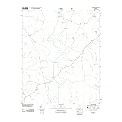
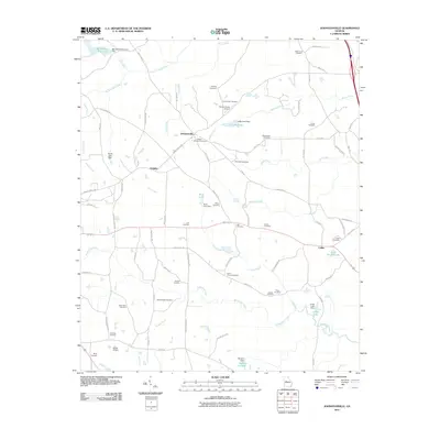
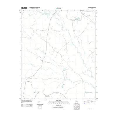
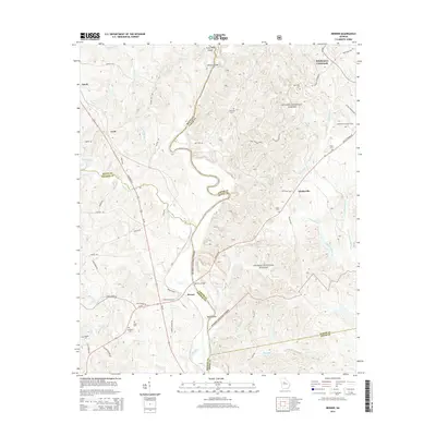
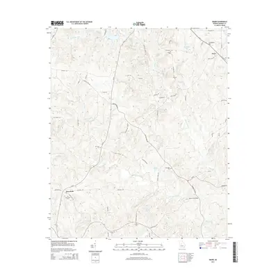
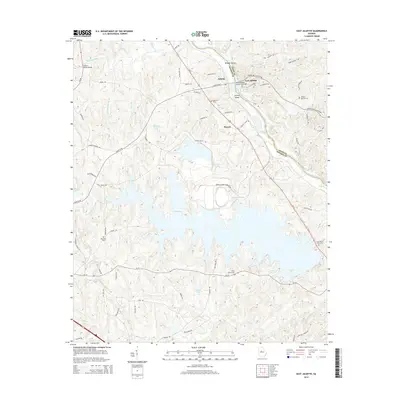
(70)- 2011 Map of Strouds, 2011 Print
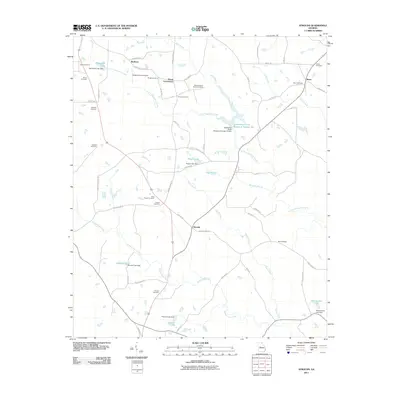 2011 Strouds2011 Print · USGSCovers Monroe County, including Horns Crossroads, Strouds, and other nearby areas
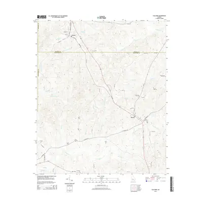
 - 2011 Map of Culloden, 2011 Print
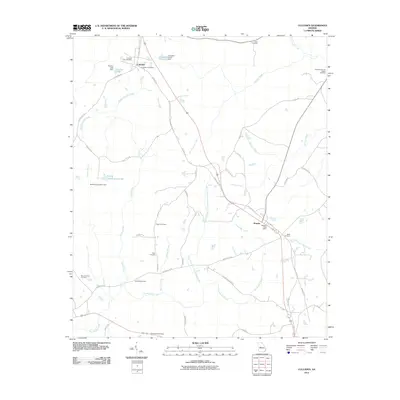 2011 Culloden2011 Print · USGSCovers Monroe County, including Culloden, Musella, and other nearby areas
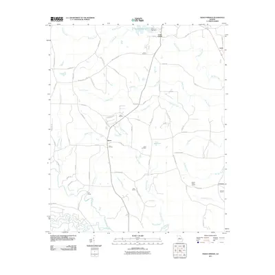
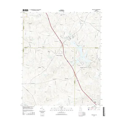
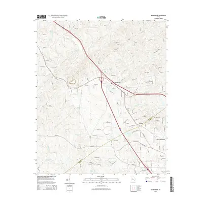
 - 2011 Map of Dames Ferry, 2011 Print
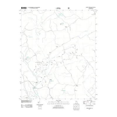 2011 Dames Ferry2011 Print · USGSCovers Monroe County, including Dames Ferry, Five Points, and other nearby areas
 - 2011 Map of Forsyth, 2011 Print
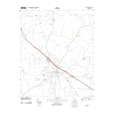 2011 Forsyth2011 Print · USGSCovers Monroe County, including Forsyth, Maynard, and other nearby areas
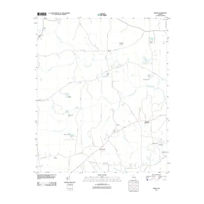
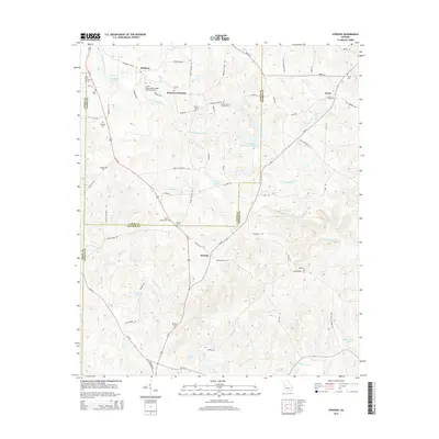
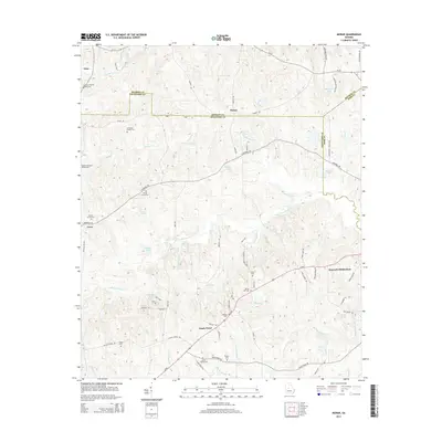
 - 2011 Map of Berner, 2011 Print
 2011 Berner2011 Print · USGSCovers Monroe County, including Gladesville, Berner, and other nearby areas
 - 2011 Map of Indian Springs, 2011 Print
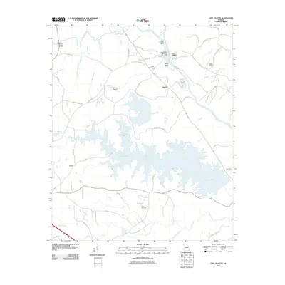
 2011 Indian Springs2011 Print · USGSCovers Monroe County, including Flovilla, Blount, and other nearby areas
 - 2011 Map of East Juliette, 2011 Print
 2011 East Juliette2011 Print · USGSCovers Monroe County, including Percale, Juliette, and other nearby areas
 - 2011 Map of High Falls, 2011 Print
 2011 High Falls2011 Print · USGSCovers Monroe County, including Chappel, Higgins Mill, and other nearby areas
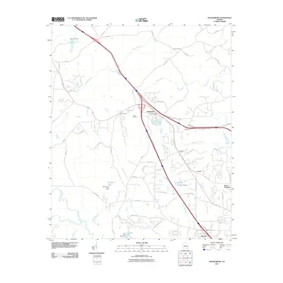
 - 2011 Map of Johnstonville, 2011 Print
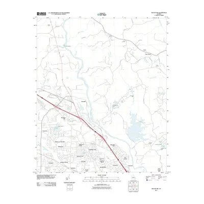
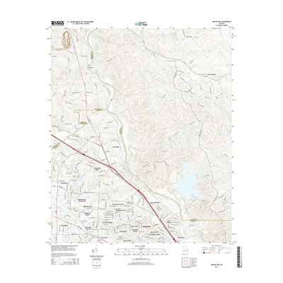
 2011 Johnstonville2011 Print · USGSCovers Monroe County, including Barnesville, Johnstonville, and other nearby areas
 - 2011 Map of Moran, 2011 Print
 2011 Moran2011 Print · USGSCovers Monroe County, including Macon, Ceres, and other nearby areas
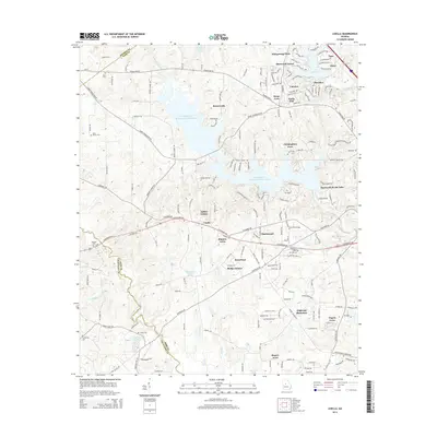
 - 2011 Map of Lizella, 2011 Print
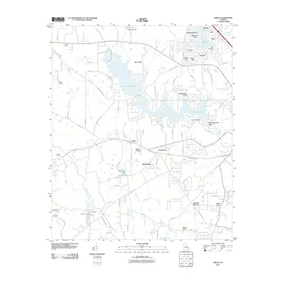 2011 Lizella2011 Print · USGSCovers Monroe County, including Macon, Blanton Acres, and other nearby areas
 - 2011 Map of Bolingbroke, 2011 Print
 2011 Bolingbroke2011 Print · USGSCovers Monroe County, including Macon, Lorane, and other nearby areas
 - 2011 Map of Smarr, 2011 Print
 2011 Smarr2011 Print · USGSCovers Monroe County, including Smarr, Russellville, and other nearby areas
 - 2011 Map of Macon NW, 2011 Print
 2011 Macon NW2011 Print · USGSCovers Monroe County, including Macon, Three Points, and other nearby areas
 - 2014 Map of High Falls, 2014 Print
 2014 High Falls2014 Print · USGSCovers Monroe County, including Chappel, Higgins Mill, and other nearby areas
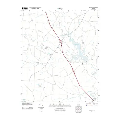
 - 2014 Map of Dames Ferry, 2014 Print
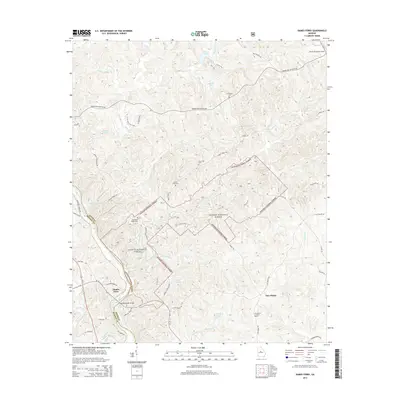 2014 Dames Ferry2014 Print · USGSCovers Monroe County, including Dames Ferry, Five Points, and other nearby areas
 - 2014 Map of Berner, 2014 Print
 2014 Berner2014 Print · USGSCovers Monroe County, including Gladesville, Berner, and other nearby areas
 - 2014 Map of Strouds, 2014 Print
 2014 Strouds2014 Print · USGSCovers Monroe County, including Horns Crossroads, Strouds, and other nearby areas
 - 2014 Map of Culloden, 2014 Print
 2014 Culloden2014 Print · USGSCovers Monroe County, including Culloden, Musella, and other nearby areas
 - 2014 Map of Bolingbroke, 2014 Print
 2014 Bolingbroke2014 Print · USGSCovers Monroe County, including Macon, Lorane, and other nearby areas
 - 2014 Map of Smarr, 2014 Print
 2014 Smarr2014 Print · USGSCovers Monroe County, including Smarr, Russellville, and other nearby areas
 - 2014 Map of Moran, 2014 Print
 2014 Moran2014 Print · USGSCovers Monroe County, including Macon, Ceres, and other nearby areas
 - 2014 Map of Macon NW, 2014 Print
 2014 Macon NW2014 Print · USGSCovers Monroe County, including Macon, Three Points, and other nearby areas
 - 2014 Map of Lizella, 2014 Print
 2014 Lizella2014 Print · USGSCovers Monroe County, including Macon, Blanton Acres, and other nearby areas
 - 2014 Map of East Juliette, 2014 Print
 2014 East Juliette2014 Print · USGSCovers Monroe County, including Percale, Juliette, and other nearby areas
Showing maps 1-25 of 70
Top cities of Monroe County
Frequently asked questions
- What are the different types of historical maps available for Monroe County?
- What is the oldest map of Monroe County?
- Where can I purchase historical maps of Monroe County for my home or office?
- Where can I download high-res historical maps of Monroe County?
- Are there historical topographic maps available for Monroe County?
- Is there historical aerial imagery available for Monroe County?
- Where are historical maps of Monroe County sourced from?