2010s Maps of Monroe County, Georgia
Explore 42 historic maps of Monroe County from the 2010s. These maps offer a rare glimpse into what life looked like during the 2010s — showing old roads, neighborhoods, homes, and landmarks that have changed or disappeared over time.
Whether you're researching your family's past, planning a metal detecting trip, or studying how Monroe County's landscape evolved across the 2010s, these high-resolution maps are a powerful tool for exploring the history of this region.
- Focus on a specific era: All maps on this page are from the 2010s, giving you a focused view of this time period.
- See what’s changed: Compare century-old streets, trails, and buildings to today's modern landscape using overlays and satellite layers.
- Research with precision: Use these maps for genealogy, historical research, land use analysis, or educational projects.
- View, download, or print: Maps are fully viewable online in high resolution, and can be downloaded or printed for your own records.
Start exploring Monroe County's history through authentic maps from the 2010s. This is your window into the past.
Monroe County, GA maps
(42)- 2011 Map of Strouds, 2011 Print
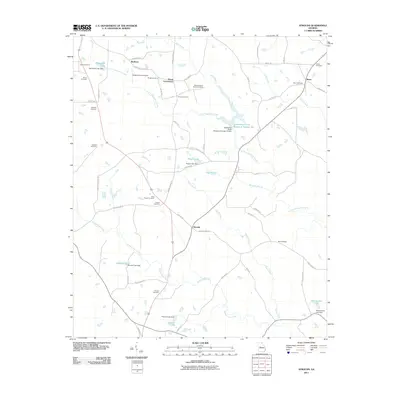 2011 Strouds2011 Print · USGSAcross this Georgia landscape in the early 2010s, small settlements and family burial grounds reflect a deep-rooted rural history. Genealogists can trace family names at Sheran-Horne-Smith Cemetery, Strouds, and Horns Crossroads amidst the waters of Echeconnee Creek.
 - 2011 Map of Culloden, 2011 Print
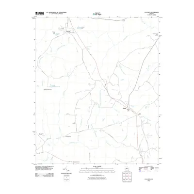 2011 Culloden2011 Print · USGSCulloden and Musella were central hubs of this Georgia landscape in the early twenty-first century. Genealogists and historians can trace deep family roots through numerous burial sites like the Confederate Cemetery, Webb Cemetery, and Taylor Cemetery.
 - 2011 Map of Dames Ferry, 2011 Print
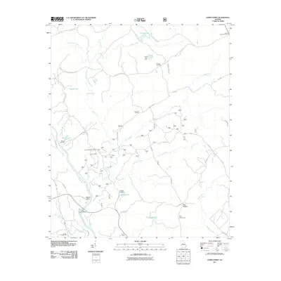 2011 Dames Ferry2011 Print · USGSMonroe County and the Ocmulgee River valley are captured here in the early twenty-first century, showing a landscape defined by historic river crossings and forest lookouts. Genealogists can locate family burial sites like Crutchfield Cemetery or trace the early paths around Dames Ferry.
 - 2011 Map of Forsyth, 2011 Print
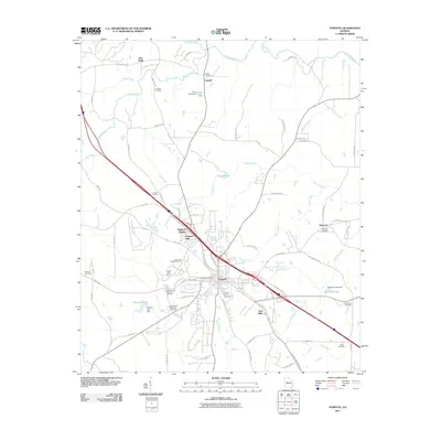 2011 Forsyth2011 Print · USGSMonroe County settlement patterns and civic life are detailed in this study of the Georgia interior. Genealogists can trace family roots through numerous burial sites like Crowder Cemetery and Chambliss Cemetery or locate the historic Star Mills and Brighton Mills.
 - 2011 Map of Berner, 2011 Print
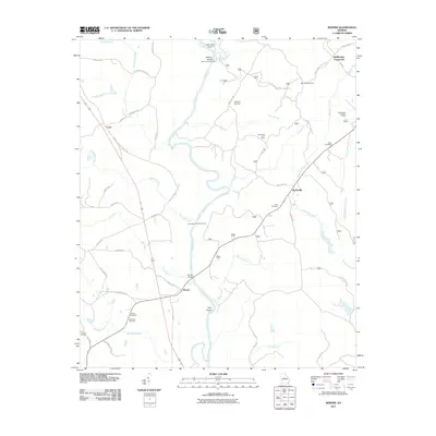 2011 Berner2011 Print · USGSCentral Georgia at the start of the decade reveals a landscape of river confluences and quiet rural crossroads. Genealogists and local historians can trace family ties at Enon Cemetery or Willis Cemetery and locate landmarks like the Gladesville Lookout Tower.
 - 2011 Map of Indian Springs, 2011 Print
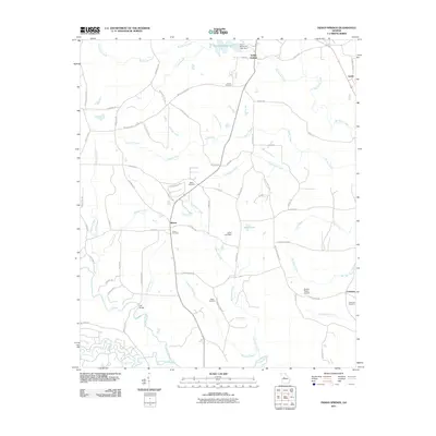 2011 Indian Springs2011 Print · USGSThis northern Georgia landscape in the early twenty-first century reveals a rural network of family cemeteries and creek-side settlements. Genealogists can trace local roots through sites like Gunn Cemetery, Blount, and the Towaliga River crossing at Flat Bridge.
 - 2011 Map of East Juliette, 2011 Print
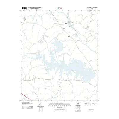 2011 East Juliette2011 Print · USGSMonroe County’s riverfront comes into focus in this late 2000s study of the area surrounding Juliette and the broad Ocmulgee River. Genealogists and local historians can trace landmarks like Saint Peters Rock Cemetery, Williams Lake, and the small community of Percale.
 - 2011 Map of High Falls, 2011 Print
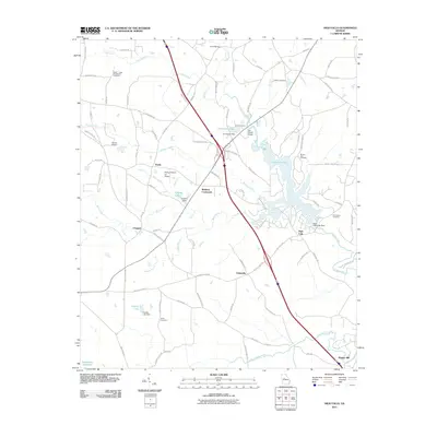 2011 High Falls2011 Print · USGSThis part of Georgia was shaped by the Towaliga River and its early mills and rural crossroads in the decade following the millennium. Genealogists can locate family burial sites like the Weaver Cemetery and landmarks such as Higgins Mill or Flat Shoals Bridge.
 - 2011 Map of Johnstonville, 2011 Print
 2011 Johnstonville2011 Print · USGSLamar County's rural crossroads and family homesteads are captured here as they appeared in the early 2010s. Researchers can trace local lineage through a dozen burial sites including Rehobeth Cemetery, William F Johnston Cemetery, and Manry Cemetery.
 - 2011 Map of Moran, 2011 Print
 2011 Moran2011 Print · USGSThe rural landscape near Moran and Sandy Point was defined by winding creek branches and community campgrounds in the early twenty-first century. Researchers can locate family burial sites like the Bethel Cemetery and explore gathering spots such as Camp Martha Johnston.
 - 2011 Map of Lizella, 2011 Print
 2011 Lizella2011 Print · USGSBibb County in the early twenty-first century centers on the expansion of lakeside communities and rural residential tracts near Macon. Genealogists can trace family heritage through several burial sites including Bethany Cemetery and Fellowship Cemetery.
 - 2011 Map of Bolingbroke, 2011 Print
 2011 Bolingbroke2011 Print · USGSThe rural landscapes north of Macon are captured here in the early twenty-first century as suburban growth meets established Georgia farmland. Researchers can trace local genealogy through the Winn Cemetery and Salem Cemetery or locate the historic Bolingbroke Post Office.
 - 2011 Map of Smarr, 2011 Print
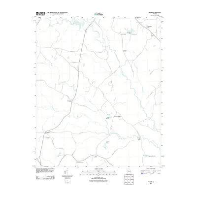 2011 Smarr2011 Print · USGSMonroe County at the start of the 2010s reveals a landscape defined by its rural settlements and deep-rooted family history. Researchers can trace the heritage of Smarr and Russellville through landmarks like the Maynard Mill Bridge and the Zellner Cemetery.
 - 2011 Map of Macon NW, 2011 Print
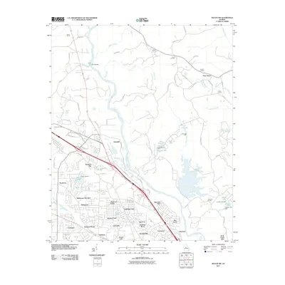 2011 Macon NW2011 Print · USGSNorthwest of Macon in the early 2000s, this area shows the transition from historic river crossings to modern residential suburbs. Genealogists and researchers can locate several burial sites like Sardis and McKay Cemetery, or trace old landmarks such as Whitehouse Plantation and Popes Ferry.
 - 2014 Map of High Falls, 2014 Print
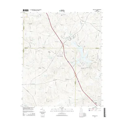 2014 High Falls2014 Print · USGSLamar and Butts counties at the turn of the 21st century reveal a landscape where interstate commerce meets traditional rural settlements. Researchers can trace historic family-named sites like Higgins Mill and Patillo, or locate ancestral burial grounds at Taylor Cem and Weaver Cem.
 - 2014 Map of Dames Ferry, 2014 Print
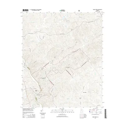 2014 Dames Ferry2014 Print · USGSThe banks of the Ocmulgee River and the depths of the Oconee National Forest define this Georgia landscape during the early twenty-first century. Genealogists can locate several local burial sites such as Crutchfield Cem and New Hope Cem, while tracing old routes like Old Dames Ferry Rd.
 - 2014 Map of Berner, 2014 Print
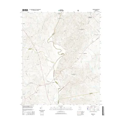 2014 Berner2014 Print · USGSNear the confluence of the Ocmulgee and Towaliga Rivers, this area of Jasper and Butts Counties shows a landscape transitioning from forest to farm in the early 21st century. Researchers can locate rural landmarks like the Gladesville Lookout Tower, the Bill Key Bridge, and several family burial sites such as Enon Cem.
 - 2014 Map of Strouds, 2014 Print
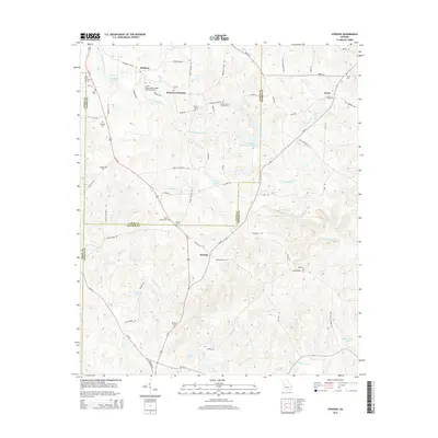 2014 Strouds2014 Print · USGSThe crossroads communities of Lamar and Monroe counties are preserved here in the early twenty-first century. Genealogists can trace family heritage across a high density of burial sites including King Chapel Cem, Pringle Cem, and Brent Cem.
 - 2014 Map of Culloden, 2014 Print
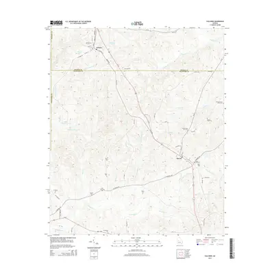 2014 Culloden2014 Print · USGSMonroe and Crawford counties come together in this contemporary look at a rural Georgia landscape shaped by generations of family farming. Researchers can locate numerous ancestral burial sites like the Confederate Cem and James R Jones Family Cem near Culloden.
 - 2014 Map of Bolingbroke, 2014 Print
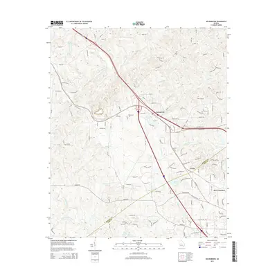 2014 Bolingbroke2014 Print · USGSThe Georgia hills northwest of Macon are shown here in the mid-2010s, where old agricultural land and family cemeteries meet modern residential expansion. Genealogists can locate several historic burial sites, including Salem Cem and Wadley Cem, alongside the waters of Colaparchee Cr.
 - 2014 Map of Smarr, 2014 Print
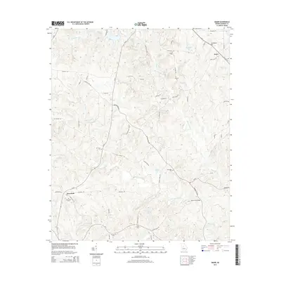 2014 Smarr2014 Print · USGSMonroe County settlements and family burial grounds are captured here in the early twenty-first century. Researchers can trace land ties at Zellner Cem and Bazemore Cem, or locate landmarks like Maynard Mill Bridge and Providence Hill.
 - 2014 Map of Moran, 2014 Print
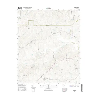 2014 Moran2014 Print · USGSCentral Georgia at the meeting point of Monroe, Crawford, and Bibb counties shows a landscape defined by generational family lands. Genealogists can trace deep local roots through numerous family plots including Anderson-Barnes Bagley Cem and settlements like Sandy Point.
 - 2014 Map of Macon NW, 2014 Print
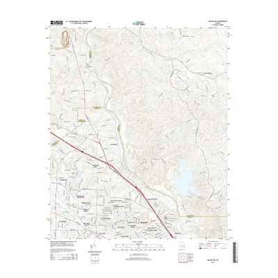 2014 Macon NW2014 Print · USGSNorth Macon and the neighboring corners of Jones and Monroe counties are captured here during a period of significant suburban growth. Genealogists and local historians can trace family markers at Sardis Cem or McKay Cem and locate landmarks like Wesleyan Coll and Toms Ford.
 - 2014 Map of Lizella, 2014 Print
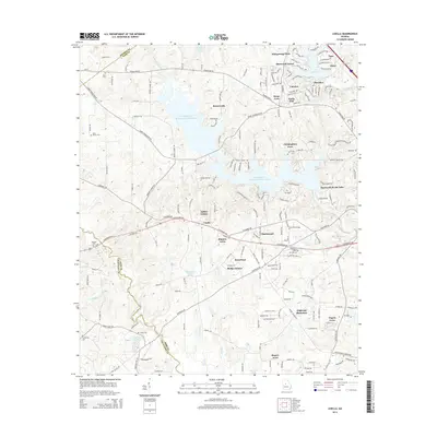 2014 Lizella2014 Print · USGSWest of Macon in the early twenty-first century, this area shows the extensive residential growth around the Tobesofkee Creek basin. Genealogists can trace several family-named landmarks and rural burial sites including Davis Cem, Dixon Cem, and Saint Dennis Cem.
 - 2014 Map of East Juliette, 2014 Print
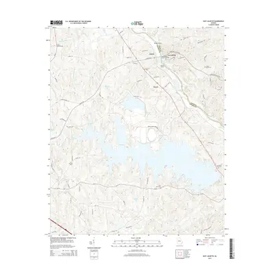 2014 East Juliette2014 Print · USGSThe riverbanks of the Ocmulgee River and the rural communities of Monroe County are captured here in the early twenty-first century. Genealogists can trace family landmarks at Saint Peters Rock Cem, Ebenezer Cem, and the historic settlement of Juliette.
Showing maps 1-25 of 42
Top cities of Monroe County
Frequently asked questions
- What are the different types of historical maps available for Monroe County?
- What is the oldest map of Monroe County?
- Where can I purchase historical maps of Monroe County for my home or office?
- Where can I download high-res historical maps of Monroe County?
- Are there historical topographic maps available for Monroe County?
- Is there historical aerial imagery available for Monroe County?
- Where are historical maps of Monroe County sourced from?