2020s Maps of Monroe County, Georgia
Explore 28 historic maps of Monroe County from the 2020s. These maps offer a rare glimpse into what life looked like during the 2020s — showing old roads, neighborhoods, homes, and landmarks that have changed or disappeared over time.
Whether you're researching your family's past, planning a metal detecting trip, or studying how Monroe County's landscape evolved across the 2020s, these high-resolution maps are a powerful tool for exploring the history of this region.
- Focus on a specific era: All maps on this page are from the 2020s, giving you a focused view of this time period.
- See what’s changed: Compare century-old streets, trails, and buildings to today's modern landscape using overlays and satellite layers.
- Research with precision: Use these maps for genealogy, historical research, land use analysis, or educational projects.
- View, download, or print: Maps are fully viewable online in high resolution, and can be downloaded or printed for your own records.
Start exploring Monroe County's history through authentic maps from the 2020s. This is your window into the past.
Monroe County, GA maps
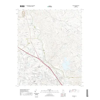
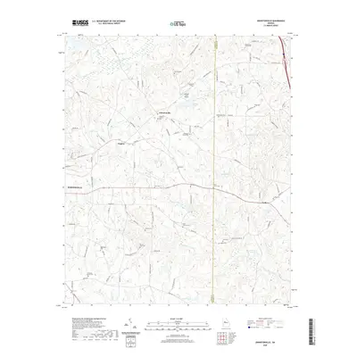
(28)- 2020 Map of Smarr, 2020 Print
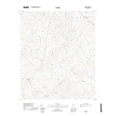 2020 Smarr2020 Print · USGSCovers Monroe County, including Smarr, Russellville, and other nearby areas
 - 2020 Map of Lizella, 2020 Print
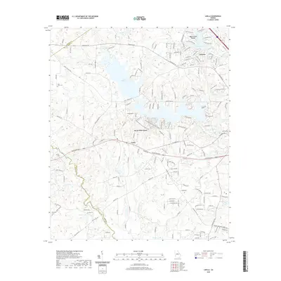 2020 Lizella2020 Print · USGSCovers Monroe County, including Macon, Blanton Acres, and other nearby areas
 - 2020 Map of East Juliette, 2020 Print
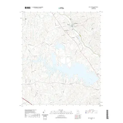 2020 East Juliette2020 Print · USGSCovers Monroe County, including Percale, Juliette, and other nearby areas
 - 2020 Map of Bolingbroke, 2020 Print
 2020 Bolingbroke2020 Print · USGSCovers Monroe County, including Macon, Lorane, and other nearby areas
 - 2020 Map of Macon NW, 2020 Print
 2020 Macon NW2020 Print · USGSCovers Monroe County, including Macon, Three Points, and other nearby areas
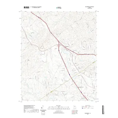
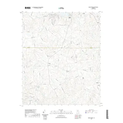
 - 2020 Map of Dames Ferry, 2020 Print
 2020 Dames Ferry2020 Print · USGSCovers Monroe County, including Dames Ferry, Five Points, and other nearby areas
 - 2020 Map of Moran, 2020 Print
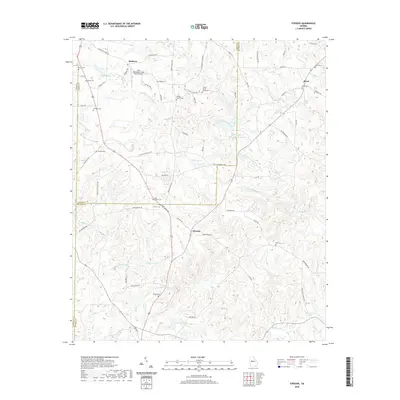
 2020 Moran2020 Print · USGSCovers Monroe County, including Macon, Ceres, and other nearby areas
 - 2020 Map of Indian Springs, 2020 Print
 2020 Indian Springs2020 Print · USGSCovers Monroe County, including Flovilla, Blount, and other nearby areas
 - 2020 Map of Johnstonville, 2020 Print
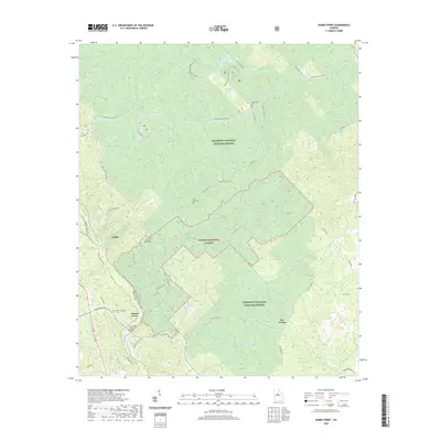
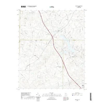
 2020 Johnstonville2020 Print · USGSCovers Monroe County, including Barnesville, Johnstonville, and other nearby areas
 - 2020 Map of High Falls, 2020 Print
 2020 High Falls2020 Print · USGSCovers Monroe County, including Chappel, Higgins Mill, and other nearby areas
 - 2020 Map of Culloden, 2020 Print
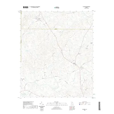 2020 Culloden2020 Print · USGSCovers Monroe County, including Culloden, Musella, and other nearby areas
 - 2020 Map of Forsyth, 2020 Print
 2020 Forsyth2020 Print · USGSCovers Monroe County, including Forsyth, Maynard, and other nearby areas
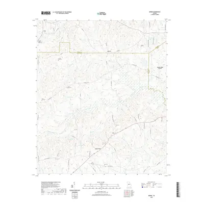
 - 2020 Map of Berner, 2020 Print
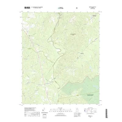 2020 Berner2020 Print · USGSCovers Monroe County, including Gladesville, Berner, and other nearby areas
 - 2020 Map of Strouds, 2020 Print
 2020 Strouds2020 Print · USGSCovers Monroe County, including Horns Crossroads, Strouds, and other nearby areas
 - 2024 Map of Moran, 2024 Print
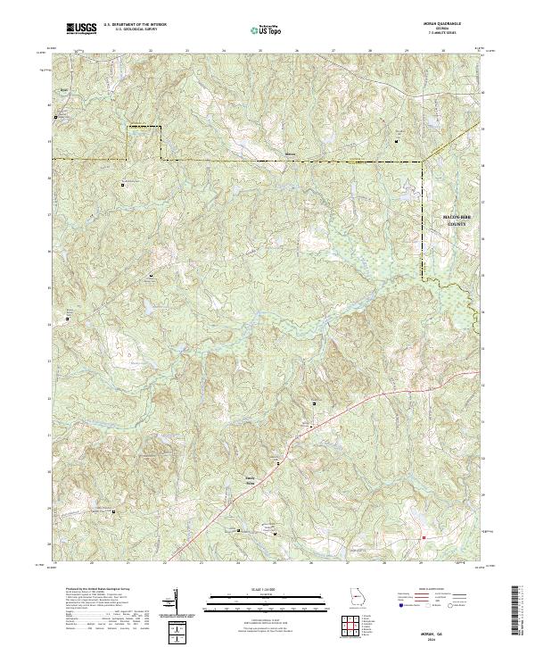 2024 Moran2024 Print · USGSCrawford County's rural character and family history are preserved here in the late twenty-teens, spanning the borders with Monroe and Bibb counties. Genealogists can trace family legacies at sites like the O'Neal Family Cem, Hancock Cem, and the Salem Primitive Baptist Church.
 - 2024 Map of Bolingbroke, 2024 Print
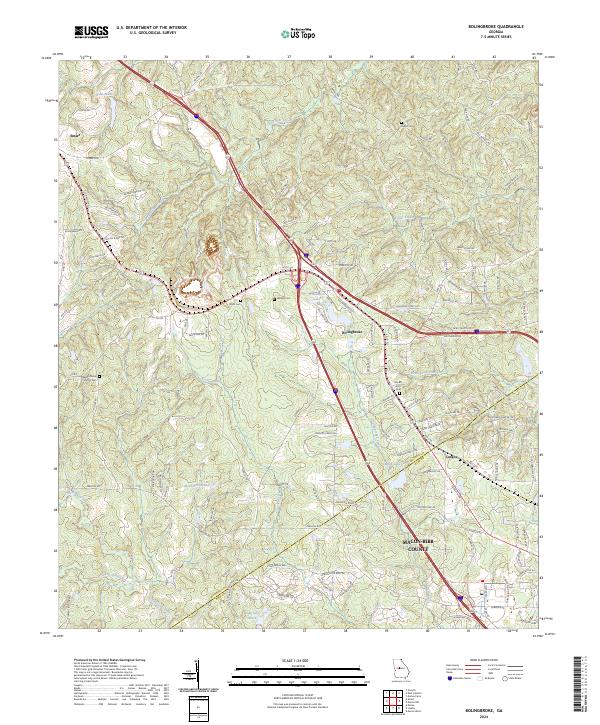 2024 Bolingbroke2024 Print · USGSMidway between Forsyth and Macon in the 2020s, this area maintains its rural identity through scattered settlements and family burial sites. Genealogists can trace local heritage at Wadley Cem, Mount Zion Cem, and the old rail-stop town of Smarr.
 - 2024 Map of Berner, 2024 Print
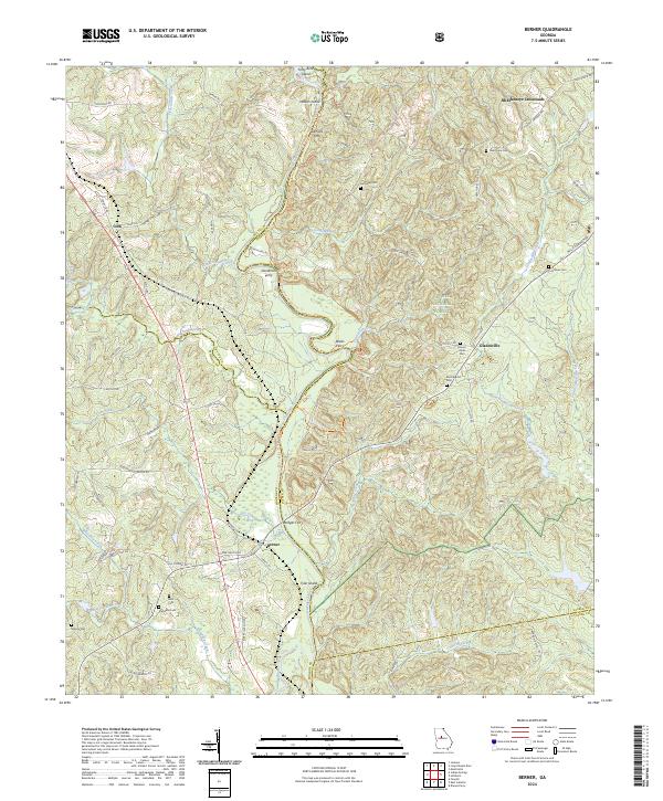 2024 Berner2024 Print · USGSThe Ocmulgee River corridor comes to life in this recent survey of the Jasper and Monroe county border. Genealogists can trace family landmarks and river crossings like Bridges Ferry, Mount Olive Cem, and the crossroads at Berner.
 - 2024 Map of Strouds, 2024 Print
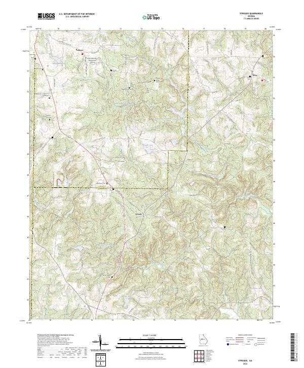 2024 Strouds2024 Print · USGSMonroe and Lamar Counties are mapped here in the early twenty-first century, showing a landscape of family farms and creek-fed valleys. Genealogists can locate numerous burial sites such as Pierson Family Cem and King Chapel Cem near the community of Strouds.
 - 2024 Map of Johnstonville, 2024 Print
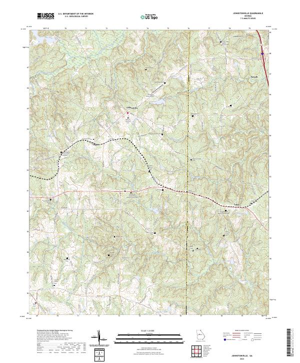 2024 Johnstonville2024 Print · USGSSettlement patterns in rural Lamar and Monroe counties are showcased here through a dense network of family-named landmarks. Genealogists can trace lineage at the William F Johnston Cem, Ogletree Family Cem, and Wrights Grove Baptist Church Cem.
 - 2024 Map of Smarr, 2024 Print
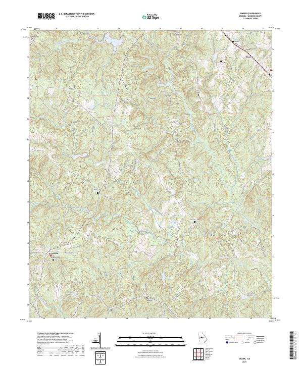 2024 Smarr2024 Print · USGSMonroe County is captured here in the mid-2020s, showing a rural landscape organized around the Tobesofkee Creek basin. Genealogists and historians can locate numerous burial sites and small communities like Smarr, Russellville, and the Midway Church Cem.
 - 2024 Map of Indian Springs, 2024 Print
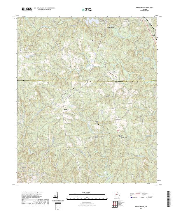 2024 Indian Springs2024 Print · USGSMonroe and Butts Counties are captured here in the early twenty-first century, showing the rural landscape around the Towaliga River. Researchers can trace family history through numerous burial sites like Flovilla Cemetery and Paron Cemetery or locate the quiet crossroads of Blount and Cabaniss.
 - 2024 Map of East Juliette, 2024 Print
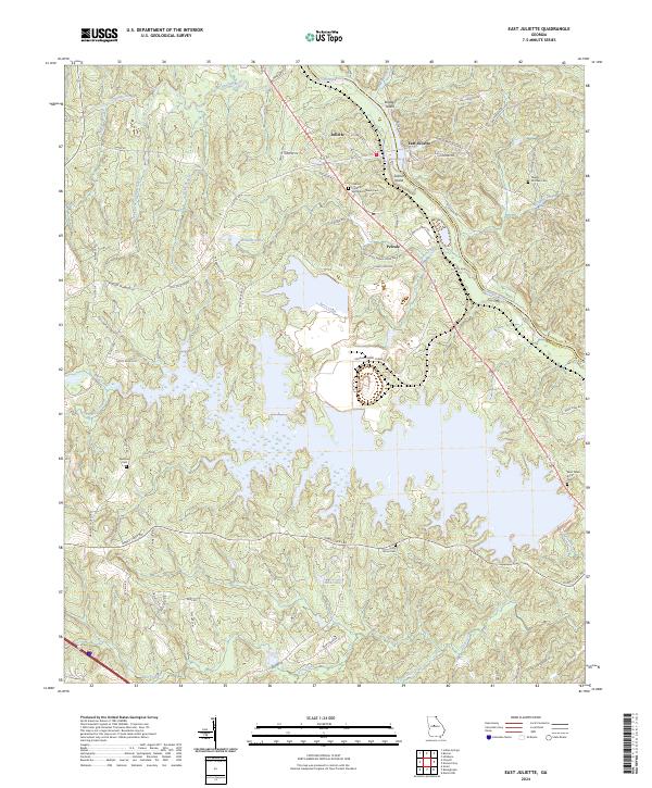 2024 East Juliette2024 Print · USGSIn the Ocmulgee River valley of central Georgia, this area is defined by the historic crossing at Juliette and the expansive waters of Hicks Lake. Researchers can trace rural cemeteries such as Ebenezer Cem and Saint Peters Rock Cem alongside the winding course of Berry Creek.
 - 2024 Map of Macon NW, 2024 Print
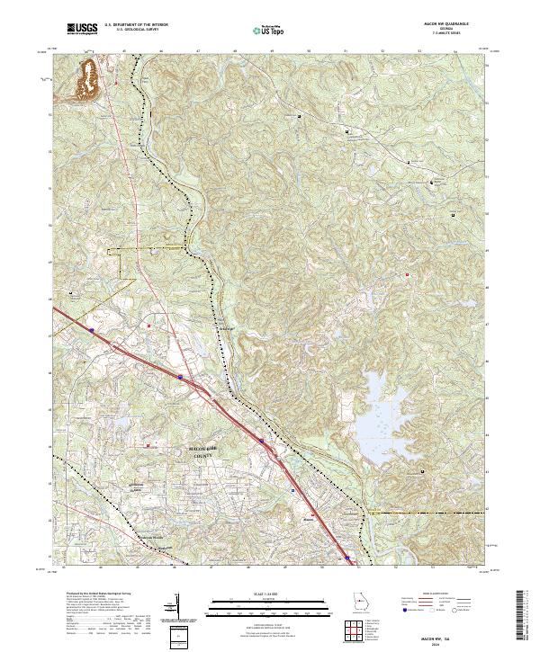 2024 Macon NW2024 Print · USGSNorth of Macon in the early twenty-first century, the Ocmulgee River remains a central axis for rural cemeteries and riverside communities. Researchers can locate family-named sites like McKay Cem and trace the edges of the Piedmont National Wildlife Refuge.
 - 2024 Map of Lizella, 2024 Print
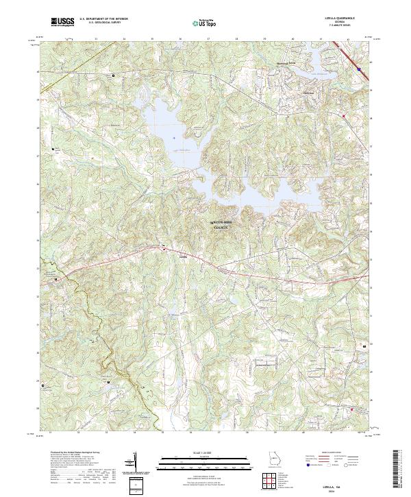 2024 Lizella2024 Print · USGSMacon-Bibb County at the present day shows a landscape where suburban neighborhoods and historic rural roots intersect. Genealogists can trace family heritage through sites like Mount Paran Primitive Baptist Church Cem and Dixon Cem near the shores of Lake Tobesofkee.
 - 2024 Map of High Falls, 2024 Print
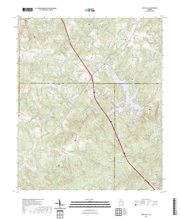 2024 High Falls2024 Print · USGSIn the river-veined country where Butts, Lamar, and Monroe counties meet, this mid-2020s landscape preserves deep roots in Middle Georgia. Researchers can trace historic family names and early rural life through Higgins Mill, Fellowship Presbyterian Church, and the Foster Jester Huddleston Cem.
Showing maps 1-25 of 28
Top cities of Monroe County
Frequently asked questions
- What are the different types of historical maps available for Monroe County?
- What is the oldest map of Monroe County?
- Where can I purchase historical maps of Monroe County for my home or office?
- Where can I download high-res historical maps of Monroe County?
- Are there historical topographic maps available for Monroe County?
- Is there historical aerial imagery available for Monroe County?
- Where are historical maps of Monroe County sourced from?