2020s Maps of Morgan County, Georgia
Explore 28 historic maps of Morgan County from the 2020s. These maps offer a rare glimpse into what life looked like during the 2020s — showing old roads, neighborhoods, homes, and landmarks that have changed or disappeared over time.
Whether you're researching your family's past, planning a metal detecting trip, or studying how Morgan County's landscape evolved across the 2020s, these high-resolution maps are a powerful tool for exploring the history of this region.
- Focus on a specific era: All maps on this page are from the 2020s, giving you a focused view of this time period.
- See what’s changed: Compare century-old streets, trails, and buildings to today's modern landscape using overlays and satellite layers.
- Research with precision: Use these maps for genealogy, historical research, land use analysis, or educational projects.
- View, download, or print: Maps are fully viewable online in high resolution, and can be downloaded or printed for your own records.
Start exploring Morgan County's history through authentic maps from the 2020s. This is your window into the past.
Morgan County, GA maps
(28)- 2020 Map of Apalachee, 2020 Print
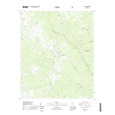 2020 Apalachee2020 Print · USGSMorgan and Oconee Counties are captured here in the early twenty-first century as the traditional agricultural landscape meets the Oconee National Forest. Family historians can locate several local burial grounds including Apalachee Prior Cem and Thrasher Cem or trace the waters of Hard Labor Creek.
 - 2020 Map of High Shoals, 2020 Print
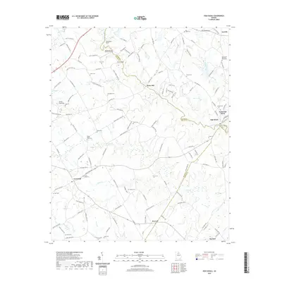 2020 High Shoals2020 Print · USGSThe Apalachee River corridor in the early 2020s remains a landscape of historic family farms and rural crossroads. Researchers can locate numerous local burial sites and landmarks like Snows Mill, the Carlton Family Cem, and Turkey Creek Mtn.
 - 2020 Map of Watkinsville, 2020 Print
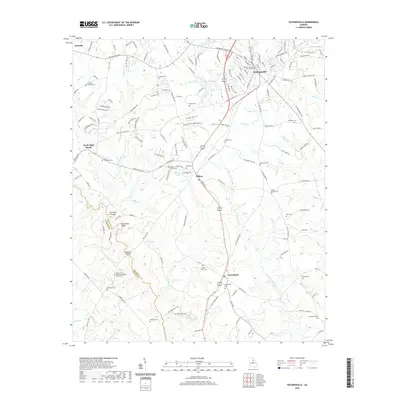 2020 Watkinsville2020 Print · USGSWatkinsville and its surrounding Piedmont landscape are documented here at the start of the 2020s. Researchers can locate numerous family burial sites and rural landmarks, including the Oconee County Courthouse, Fullilove - Jackson Cem, and Mount Zion Cem.
 - 2020 Map of Buckhead, 2020 Print
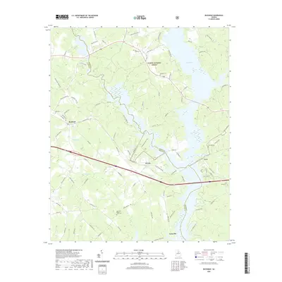 2020 Buckhead2020 Print · USGSMorgan County is shown in the modern era as a landscape of dense forests and large water bodies. Genealogists can trace family heritage through sites like Mount Zion Baptist Church Cem, Whitaker Cem, and the old settlement of Swords.
 - 2020 Map of Social Circle, 2020 Print
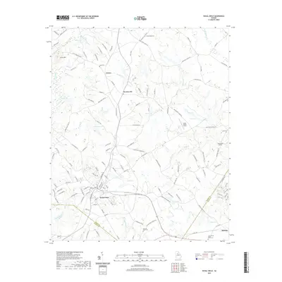 2020 Social Circle2020 Print · USGSSocial Circle and its surrounding rural hamlets are captured here at the start of the 2020s as the area balances its rail history with modern growth. Researchers can trace local heritage through several burial sites like Circle View Cem and the Union Springs Baptist Church Cem.
 - 2020 Map of Shady Dale, 2020 Print
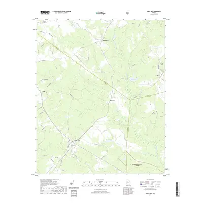 2020 Shady Dale2020 Print · USGSThe Jasper County countryside in the early twenty-first century reveals a network of small settlements and forest lands. Researchers can trace family origins at Providence Baptist Church, Hearnville Cem, and along the rural lanes of Shady Dale.
 - 2020 Map of Farrar, 2020 Print
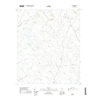 2020 Farrar2020 Print · USGSJasper County and its neighbors come into focus during this contemporary survey of the rural Georgia interior. Researchers can pinpoint long-standing community centers like Farrar and Maxwell or trace family roots at Murder Creek Cem and Shiloh Cem.
 - 2020 Map of Rutledge North, 2020 Print
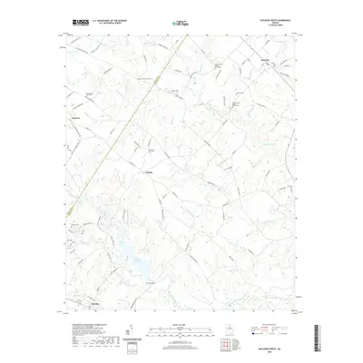 2020 Rutledge North2020 Print · USGSMorgan County's rural northern landscape is shown here in the contemporary era, centered on the community of Fairplay. Researchers can trace local lineage through sites like Studdard Cemetery, Ebenezer Church, and the waters of Lake Rutledge.
 - 2020 Map of Greshamville, 2020 Print
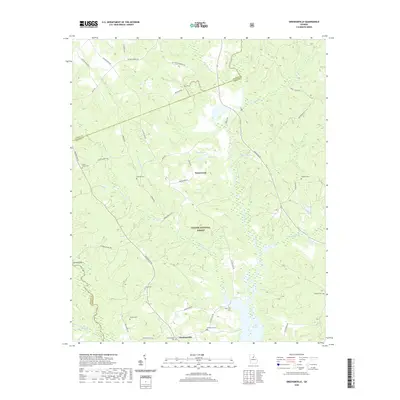 2020 Greshamville2020 Print · USGSThe Oconee and Apalahee rivers converge in this Greene County landscape, showing the area as it appeared in recent years. Genealogists and local historians can trace family connections through sites like McWhorter Cem, Greshamville, and the historic crossing at Trimble Bridge.
 - 2020 Map of Rutledge South, 2020 Print
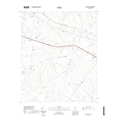 2020 Rutledge South2020 Print · USGSMorgan County is shown here in the contemporary era as a network of rural hamlets and historic churchyards. Genealogists and historians can trace family ties at the Wallace Grove Baptist Church Cem, Reese Cem, and the crossing at Clack Bridge.
 - 2020 Map of Rock Eagle Lake, 2020 Print
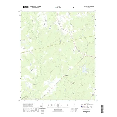 2020 Rock Eagle Lake2020 Print · USGSPutnam and Morgan Counties are captured here in the early twenty-first century as the landscape transitioned between timber management and rural residential life. Researchers can trace family-named dairy roads and locate historical sites like Springfield Baptist Church Cemetery and Reids Crossroads.
 - 2020 Map of Harmony, 2020 Print
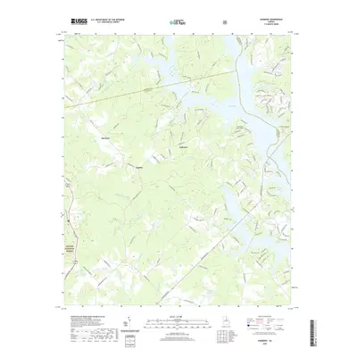 2020 Harmony2020 Print · USGSNear the convergence of Putnam and Greene counties in the late twenty-tens, the shoreline of Lake Oconee reveals a modern landscape of residential growth. Local historians can trace contemporary developments alongside the established communities of Harmony and Jefferson.
 - 2020 Map of Madison, 2020 Print
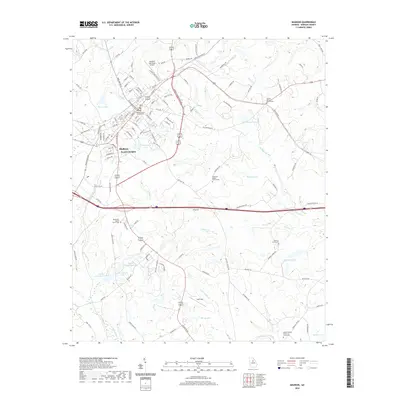 2020 Madison2020 Print · USGSMadison and its surrounding Morgan County environs are captured here in the early twenty-first century, showing a mix of municipal growth and rural legacy. Researchers can locate family landmarks at Barrows Grove Cem or trace the waters of McGuery Lake and Speeds Br.
 - 2020 Map of Mansfield, 2020 Print
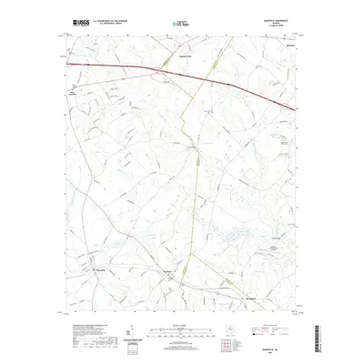 2020 Mansfield2020 Print · USGSSocial Circle and the surrounding Georgia countryside are captured here in the contemporary era. Researchers can trace local lineages through the Newborn City Cem, Davis Cem, and Greater Moses Baptist Cem, or locate landmarks like Cooper Bridge and Hub Junction.
 - 2024 Map of Watkinsville, 2024 Print
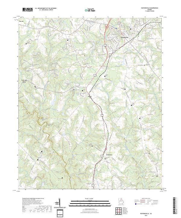 2024 Watkinsville2024 Print · USGSWatkinsville and the surrounding Oconee County countryside are mapped here in the early twenty-first century. Genealogists can locate numerous family cemeteries and local landmarks including Brown Chapel, the Oconee County Courthouse, and the Rehoboth Cem.
 - 2024 Map of Rutledge North, 2024 Print
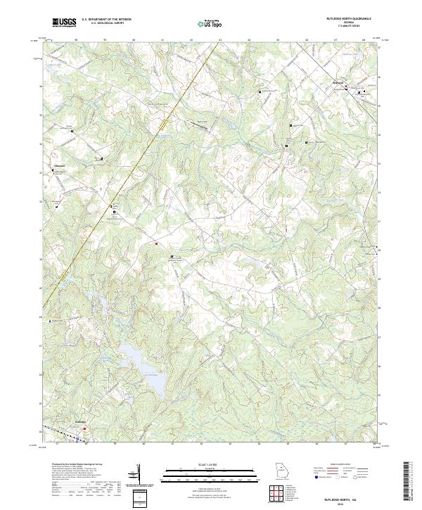 2024 Rutledge North2024 Print · USGSMorgan County is shown here in its modern rural character, defined by small settlements and historic family landholdings. Genealogists can trace ancestral sites like the Almand - Malcolm Cem, Baccus Family Cem, and Ebenezer Baptist Church Cem.
 - 2024 Map of Rutledge South, 2024 Print
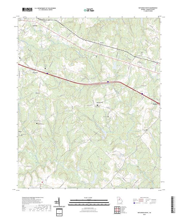 2024 Rutledge South2024 Print · USGSMorgan County is shown in recent detail as a landscape of rural churches and family cemeteries along the Big Indian Creek corridor. Genealogists can trace family roots at Mars Hill Cem, Thankful Cem, and the Wallace Grove Baptist Church Cem.
 - 2024 Map of High Shoals, 2024 Print
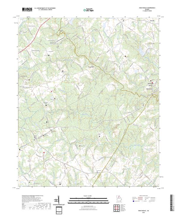 2024 High Shoals2024 Print · USGSWalton and Oconee counties are shown here in the early twenty-first century, centered on the historic river crossing at High Shoals. Researchers can trace generations of families through numerous burial sites like the Carlton Family Cem and landmarks like Snows Mill.
 - 2024 Map of Mansfield, 2024 Print
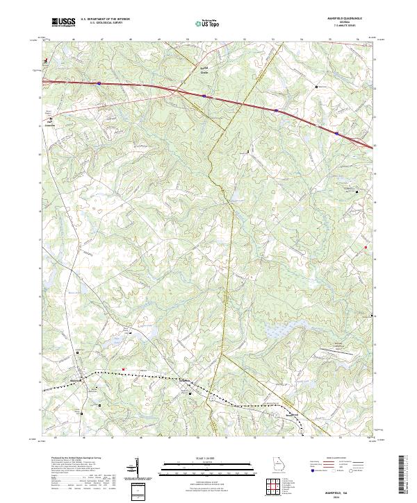 2024 Mansfield2024 Print · USGSNewton and Walton counties appear here as they are today, showing a landscape defined by the Little River and historic crossroads. Researchers can trace family sites at the Newborn City Cem or Harris Springs Cem and locate rural landmarks like Hub Junction.
 - 2024 Map of Madison, 2024 Print
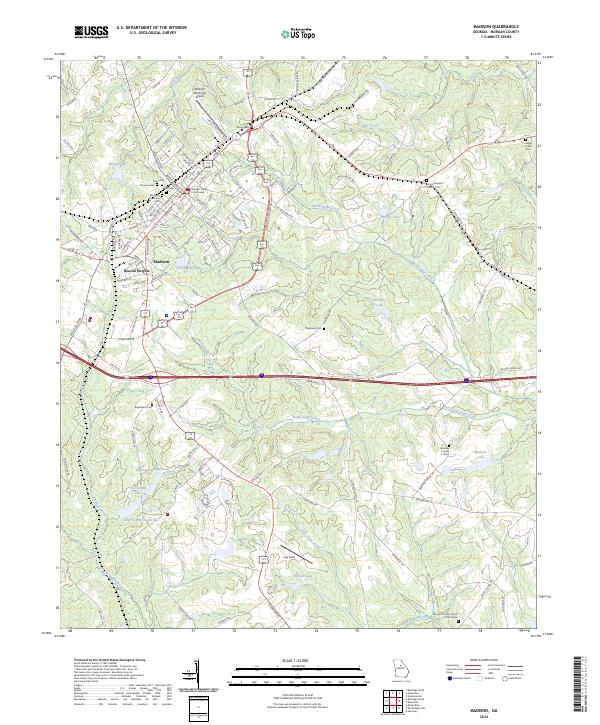 2024 Madison2024 Print · USGSMadison and its surrounding Morgan County hills are seen here in the current era, showing a landscape defined by historic town squares and rural cemeteries. Researchers can trace family history at the Jones Family Cem, Fairview Cem, and Bethlehem Cem.
 - 2024 Map of Farrar, 2024 Print
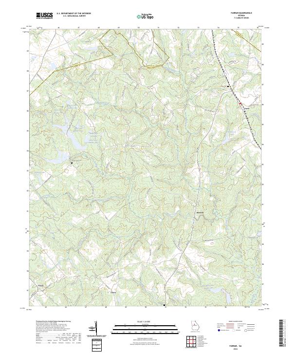 2024 Farrar2024 Print · USGSJasper County is captured here in the contemporary era, showing a rural landscape defined by its creek-fed valleys and quiet crossroads. Researchers can trace ancestral roots at Shiloh Cem or explore the environs of small settlements like Farrar and Maxwell.
 - 2024 Map of Apalachee, 2024 Print
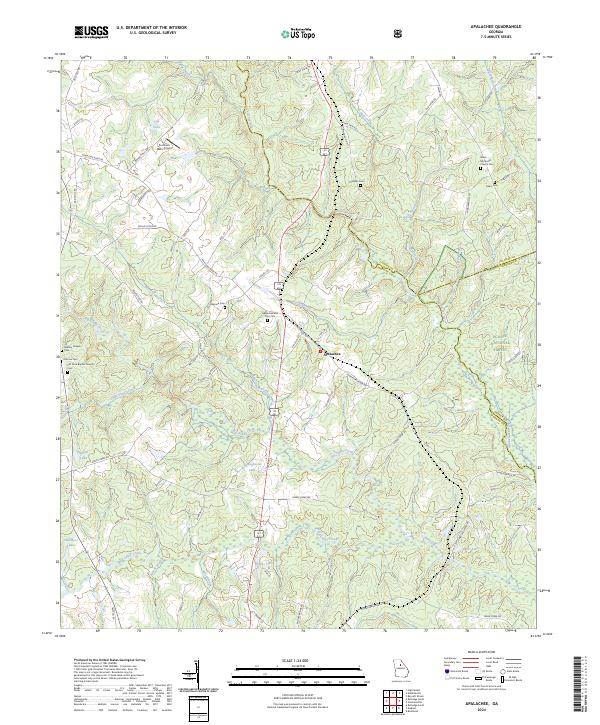 2024 Apalachee2024 Print · USGSMorgan County is shown in this contemporary record as a landscape of river-fed valleys and quiet rural crossroads. Genealogists can trace family heritage at Apalachee and Prior Cem, Mallory Chapel Cem, and Flat Rock Baptist Church Cem.
 - 2024 Map of Greshamville, 2024 Print
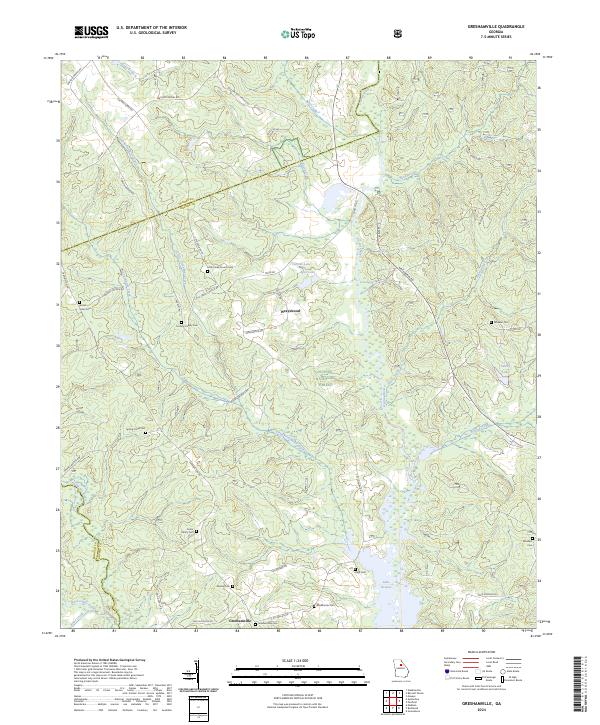 2024 Greshamville2024 Print · USGSGreshamville and the Oconee River valley are captured here in the early twenty-first century, showing a landscape of forest preserves and family landholdings. Researchers can locate numerous small burial sites like Spring Creek Cem and Brown-Jones Cem or trace the shoreline of Lake Oconee.
 - 2024 Map of Social Circle, 2024 Print
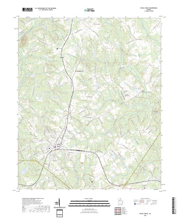 2024 Social Circle2024 Print · USGSSocial Circle and its surrounding Walton County countryside are captured here in the early twenty-first century as the area maintains its historic crossroads character. Genealogists can locate numerous burial sites like Circle View Cem and Hollis and Sigman Cem near the CSX Transportation rail line.
 - 2024 Map of Harmony, 2024 Print
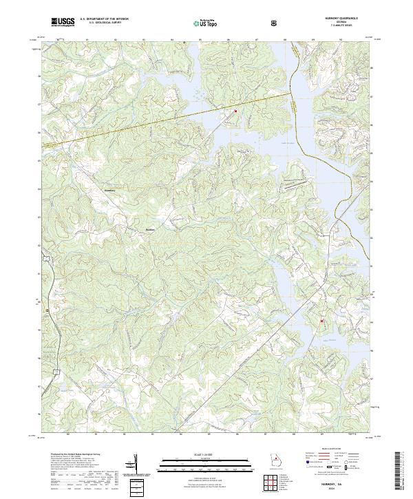 2024 Harmony2024 Print · USGSThe rural communities of Harmony and Rudden are shown in the modern day as they sit alongside the western fingers of Lake Oconee. Researchers can trace old family road names and shoreline developments near Sebastian Cove Airport and the Oconee National Forest.
Showing maps 1-25 of 28
Top cities of Morgan County
Frequently asked questions
- What are the different types of historical maps available for Morgan County?
- What is the oldest map of Morgan County?
- Where can I purchase historical maps of Morgan County for my home or office?
- Where can I download high-res historical maps of Morgan County?
- Are there historical topographic maps available for Morgan County?
- Is there historical aerial imagery available for Morgan County?
- Where are historical maps of Morgan County sourced from?