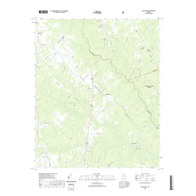
2020 Map of Apalachee
USGS Topo · Published 2020About this map
Apalachee and Bostwick sit at the center of this Georgia landscape where the boundaries of Morgan, Oconee, and Greene Counties converge. The region is defined by the winding course of the Apalachee River and Hard Labor Creek, which carve through a mix of agricultural land and the dense timber of the Oconee National Forest. This modern survey documents a rural infrastructure still anchored by family-named landmarks and historical sites, including Trimble Bridge and the Salem Methodist Church.
Find a feature on this map
75 named features on this map. Tap any name to fly to it.
Don’t see what you’re looking for? This feature index may not catch every label — zoom into the map to look around manually.
Map Details
Editions of this 2020 Apalachee Map
This is the sole edition of this map. No revisions or reprints were ever made.
Other maps of this area

1896 · Monroe
USGS Topo · 1:125,000

1953 · Athens
USGS Topo · 1:250,000

1958 · Athens
USGS Topo · 1:250,000

1959 · Athens
USGS Topo · 1:250,000

1963 · Athens
USGS Topo · 1:250,000

1964 · Barnett Shoals
USGS Topo · 1:24,000

1964 · High Shoals
USGS Topo · 1:24,000

1964 · Watkinsville
USGS Topo · 1:24,000

1971 · Rutledge North
USGS Topo · 1:24,000

1972 · Buckhead
USGS Topo · 1:24,000