Old Maps of Watkinsville, Georgia for Academic Research
Study the evolution of Watkinsville with 19 high-resolution historic maps. Whether you're teaching, researching, or modeling changes in land use, these maps provide essential visual documentation of urban, environmental, and geographic change.
- Analyze long-term change: Track patterns in development, transportation, and natural features.
- Ideal for environmental or urban studies: Support academic projects with primary historical map data.
- Use in the classroom or lab: Educators and researchers rely on these maps to bring historical context to life.
These maps are a powerful tool for teaching, research, and visualizing how Watkinsville has changed over the decades.
Watkinsville, GA maps
(19)- 1953 Map of Athens, 1966 Print
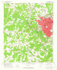
 1953 Athens1966 Print · USGSGeorgia's Piedmont and Savannah River borderlands come alive in this mid-century survey of the region surrounding Athens and Augusta. Trace the rail-and-river economy through the Georgia RR and landmarks like the Fort Gordon Military Reservation.3 unique versions available
 - 1958 Map of Athens
 1958 Athens1958 Print · USGSNorth-central Georgia and the Savannah River valley are captured in the late fifties, showing the region as the new reservoirs were filling. Researchers can trace historic rail lines like the Georgia RR and locate rural landmarks such as Social Circle, Graves Mountain, and the Fort Gordon Military Reservation.
 - 1959 Map of Athens
 1959 Athens1959 Print · USGSNortheast Georgia and the South Carolina borderlands appear here in the mid-fifties, during a decade of infrastructure growth. Genealogists and historians can trace the rail-and-river geography of towns like Social Circle, the sprawl of Fort Gordon Military Reservation, and the newly formed Clark Hill Reservoir.
 - 1963 Map of Athens
 1963 Athens1963 Print · USGSGeorgia's Piedmont and the Savannah River valley are captured in the early sixties as major reservoirs and military installations reshaped the landscape. Researchers can trace the development of Clark Hill Reservoir, locate the Fort Gordon Military Reservation, and find historic towns like Social Circle and Eatonton.
 - 1964 Map of Athens West, 1965 Print
 1964 Athens West1965 Print · USGSMid-century western Athens and the Oconee River valley are captured here just as the city's modern suburban and institutional footprint was expanding. Researchers can trace the legacy of local landmarks like the Athens Speedway, US Naval Supply Corps School, and Mars Hill Ch.5 unique versions available
 - 1964 Map of Watkinsville, 1965 Print
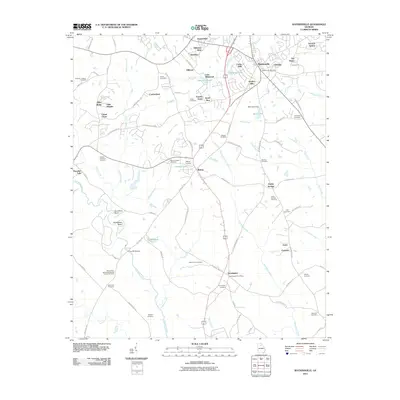
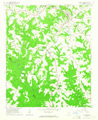 1964 Watkinsville1965 Print · USGSCentral Georgia in the mid-1960s was defined by the rail corridor connecting Watkinsville to Farmington. Researchers can trace old family burial grounds like Klotts Cem and rural meeting places such as Brown Chapel or the Stroud Sch.3 unique versions available
 - 1980 Map of Athens, 1981 Print
 1980 Athens1981 Print · USGSNorth Georgia in the early eighties exhibits a landscape of growing university towns and deep-rooted rail hubs. Genealogists can trace family lands near Social Circle or Watkinsville while following the routes of the Central of Georgia and the Appalachee River.2 unique versions available
 - 1988 Map of Athens
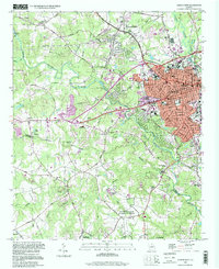
 1988 Athens1988 Print · USGSThe Georgia Piedmont and South Carolina borderlands appear in the late eighties as a landscape of vast reservoirs and growing towns. Researchers can trace the legacy of the Georgia RR connecting Athens and Augusta, or locate landmarks within Oconee National Forest.
 - 1998 Map of Athens West, 1999 Print
 1998 Athens West1999 Print · USGSIn the late nineties, the western outskirts of Athens and Watkinsville showcase a landscape where academic and naval facilities meet traditional Georgia riverlands. Researchers can trace the Georgia Railroad and locate local landmarks like the Athens Speedway or Chestnut Grove Ch.
 - 2011 Map of Athens West, 2011 Print
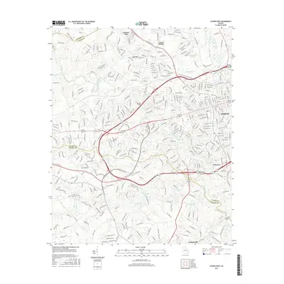
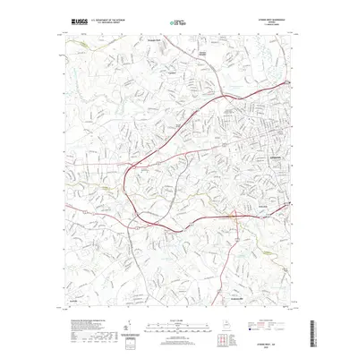
 2011 Athens West2011 Print · USGSCovers Watkinsville, including Athens, Danson Woods, and other nearby areas
 - 2011 Map of Watkinsville, 2011 Print
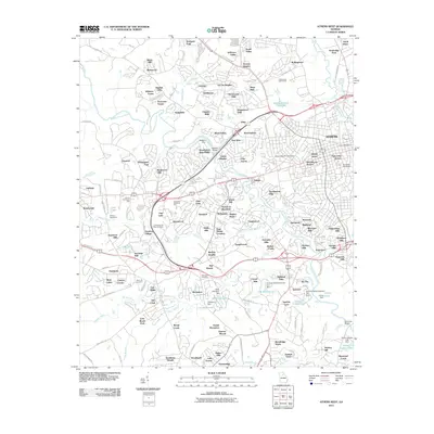
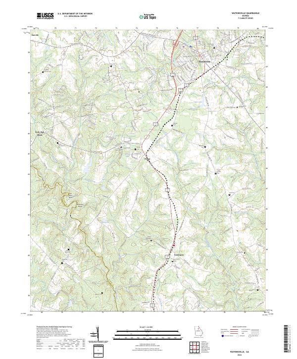
 2011 Watkinsville2011 Print · USGSCovers Watkinsville, including North High Shoals, Bishop, and other nearby areas
 - 2014 Map of Athens West, 2014 Print
 2014 Athens West2014 Print · USGSCovers Watkinsville, including Athens, Danson Woods, and other nearby areas
 - 2014 Map of Watkinsville, 2014 Print
 2014 Watkinsville2014 Print · USGSCovers Watkinsville, including North High Shoals, Bishop, and other nearby areas
 - 2017 Map of Watkinsville, 2017 Print
 2017 Watkinsville2017 Print · USGSCovers Watkinsville, including North High Shoals, Bishop, and other nearby areas
 - 2017 Map of Athens West, 2017 Print
 2017 Athens West2017 Print · USGSCovers Watkinsville, including Athens, Danson Woods, and other nearby areas
 - 2020 Map of Watkinsville, 2020 Print
 2020 Watkinsville2020 Print · USGSCovers Watkinsville, including North High Shoals, Bishop, and other nearby areas
 - 2020 Map of Athens West, 2020 Print
 2020 Athens West2020 Print · USGSCovers Watkinsville, including Athens, Danson Woods, and other nearby areas
 - 2024 Map of Watkinsville, 2024 Print
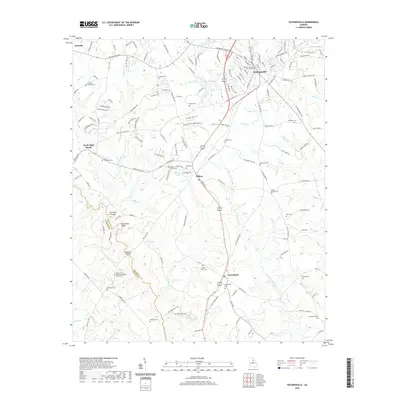
 2024 Watkinsville2024 Print · USGSWatkinsville and the surrounding Oconee County countryside are mapped here in the early twenty-first century. Genealogists can locate numerous family cemeteries and local landmarks including Brown Chapel, the Oconee County Courthouse, and the Rehoboth Cem.
 - 2024 Map of Athens West, 2024 Print
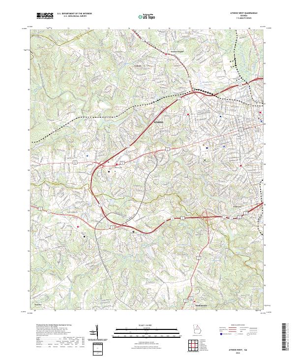 2024 Athens West2024 Print · USGSThe western suburbs of Athens and the surrounding Georgia countryside are captured here in the early twenty-first century. Genealogists and researchers can trace local family histories through sites like Brooklyn Cem, Mars Hill Cem, and the community of Princeton.
End of results
Showing maps 1-19 of 19
Top cities near Watkinsville
- Athens historical maps
- Jefferson historical maps
- Statham historical maps
- Arcade historical maps
- Winterville historical maps
- Bogart historical maps
See more
Top neighborhoods of Watkinsville
- Harden Hills historical maps
- Crossties historical maps
- Marshall Estates historical maps
- Cedar Hills historical maps
Frequently asked questions
- What are the different types of historical maps available for Watkinsville?
- What is the oldest map of Watkinsville?
- Where can I purchase historical maps of Watkinsville for my home or office?
- Where can I download high-res historical maps of Watkinsville?
- Are there historical topographic maps available for Watkinsville?
- Is there historical aerial imagery available for Watkinsville?
- Where are historical maps of Watkinsville sourced from?