2020s Maps of Screven County, Georgia
Explore 38 historic maps of Screven County from the 2020s. These maps offer a rare glimpse into what life looked like during the 2020s — showing old roads, neighborhoods, homes, and landmarks that have changed or disappeared over time.
Whether you're researching your family's past, planning a metal detecting trip, or studying how Screven County's landscape evolved across the 2020s, these high-resolution maps are a powerful tool for exploring the history of this region.
- Focus on a specific era: All maps on this page are from the 2020s, giving you a focused view of this time period.
- See what’s changed: Compare century-old streets, trails, and buildings to today's modern landscape using overlays and satellite layers.
- Research with precision: Use these maps for genealogy, historical research, land use analysis, or educational projects.
- View, download, or print: Maps are fully viewable online in high resolution, and can be downloaded or printed for your own records.
Start exploring Screven County's history through authentic maps from the 2020s. This is your window into the past.
Screven County, GA maps
(38)- 2020 Map of Bull Pond, 2020 Print
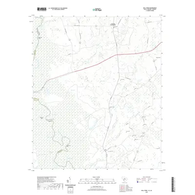 2020 Bull Pond2020 Print · USGSThe Allendale County lowlands near the Georgia border come alive in this recent survey of the Savannah River swamp. Genealogists can locate several family-named burial sites including Magdalene Cem, Folger Cem, and Flowers Cem near the waters of Bull Pond.
 - 2020 Map of Martin, 2020 Print
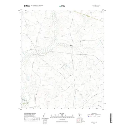 2020 Martin2020 Print · USGSAllendale County at the Georgia border is defined by the wetlands of the Savannah River and the settlements of Martin and Baldock. Researchers can trace old family roadmaps and local landmarks like White Womans Point, Red Lake, and the Revolutionary Trl.
 - 2020 Map of Millett, 2020 Print
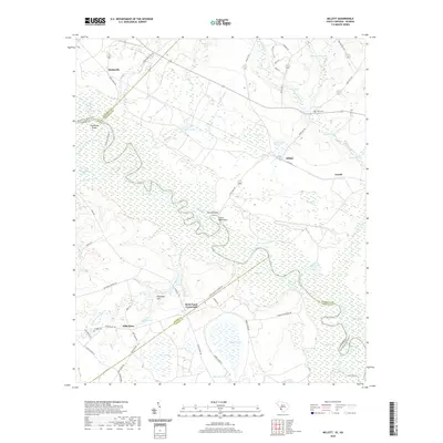 2020 Millett2020 Print · USGSAllendale County and the Savannah River borderlands are captured in this recent survey. Researchers can locate old community hubs like Hills Store, Rock Fence Crossroads, and Corinth Cem or trace the river's path past Little Hell Point.
 - 2020 Map of Sylvania South, 2020 Print
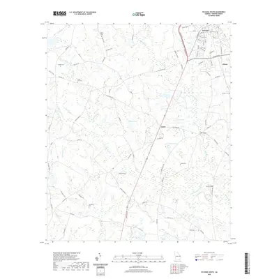 2020 Sylvania South2020 Print · USGSScreven County south of Sylvania reflects a landscape of rural family settlements and winding creek drainages in the early twenty-first century. Genealogists can trace numerous burial sites like Mount Pleasant Cem and Howard Cem while following the reaches of the South Fork Ogeechee Creek.
 - 2020 Map of Sylvania North, 2020 Print
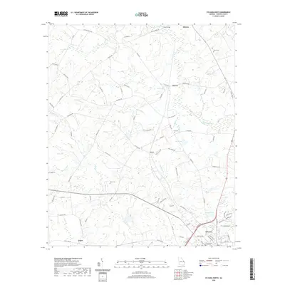 2020 Sylvania North2020 Print · USGSScreven County is captured here in the contemporary era as the landscape surrounding the county seat transitions into rural farm and timberland. Genealogists and local historians can locate Bascom Cem, Waters Cem, and the courthouse at Sylvania.
 - 2020 Map of Leefield, 2020 Print
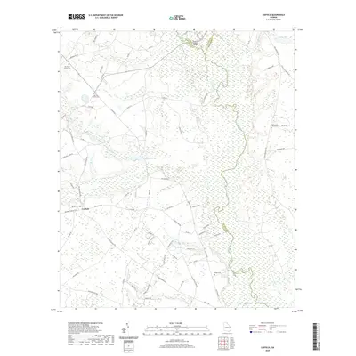 2020 Leefield2020 Print · USGSBulloch County and the Ogeechee River valley appear here in the early twenty-first century as a landscape of rural cemeteries and winding creek branches. Genealogists and local historians can locate Mount Zion Church Cem, Leefield, and the river crossing at Fred W Hodges Bridge.
 - 2020 Map of Kildare, 2020 Print
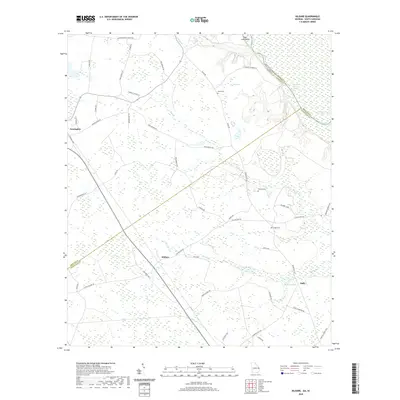 2020 Kildare2020 Print · USGSThe riverine border between Georgia and South Carolina comes to life here in the early twenty-first century. Genealogists can locate family landmarks like Eneck Cem and Coursey Cem or trace the rural road networks around Kildare and Newington.
 - 2020 Map of Dover, 2020 Print
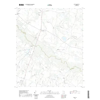 2020 Dover2020 Print · USGSThe Ogeechee River corridor in Screven and Bulloch Counties is documented here in the early twenty-first century. Researchers can trace rural lineages through numerous local sites including Oak Grove United Methodist Church Cem, Branon Cem, and Simmons Branch Cem.
 - 2020 Map of Oliver, 2020 Print
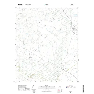 2020 Oliver2020 Print · USGSScreven County's river-bottom landscapes and small-town rail corridors are detailed here in the modern era. Genealogists and local historians can trace family locations near Halcyondale, Union Cem, and the historic banks of the Ogeechee River.
 - 2020 Map of Brier Creek Landing, 2020 Print
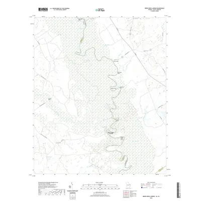 2020 Brier Creek Landing2020 Print · USGSThe Savannah River floodplain along the Allendale and Screven county border is captured here in detail during the early twenty-first century. Researchers can trace riverside history through numerous named landings and points like Brier Creek Landing and Matthews Bluff, or locate rural family landmarks such as Lee Cem and Brannons Bridge.
 - 2020 Map of Burtons Ferry Landing, 2020 Print
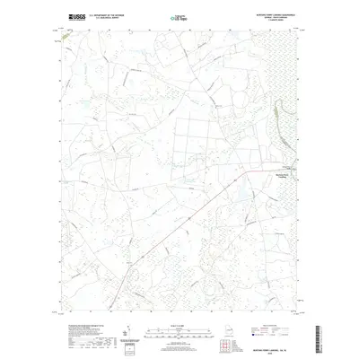 2020 Burtons Ferry Landing2020 Print · USGSThe Georgia and South Carolina borderlands come into focus in this contemporary survey of the river lowlands. Researchers can trace rural lineages at Meek Cem and Bethel Cem, or follow the ancient water routes of the Savannah River near Burtons Ferry Landing.
 - 2020 Map of Blue Springs Landing, 2020 Print
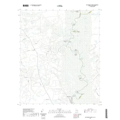 2020 Blue Springs Landing2020 Print · USGSThe Savannah River bottomlands along the Georgia and South Carolina border appear here in great detail, showing the complex wetlands of Screven and Hampton counties. Local historians can trace family ties at the Bryan Family Cem or study the winding river reaches near Blue Springs Landing and Tiger Leap Bluff.
 - 2020 Map of Hopeulikit, 2020 Print
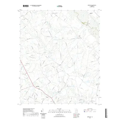 2020 Hopeulikit2020 Print · USGSBulloch County and the Screven County line are captured here in the early twenty-first century, showing the rural crossroads of Hopeulikit and Akins Mill. Family researchers can trace the locations of Donaldson Cem, Saint Marys Cem, and Friendship Church Cem.
 - 2020 Map of Bay Branch, 2020 Print
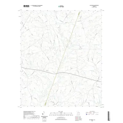 2020 Bay Branch2020 Print · USGSScreven and Jenkins Counties are depicted here in the contemporary era as a quiet landscape of coastal plain tributaries. Genealogists and local historians can trace family land and rural intersections near Bay Branch, Pierce Pond, and Braggas Mill Cr.
 - 2020 Map of Hunters, 2020 Print
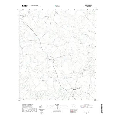 2020 Hunters2020 Print · USGSScreven County agriculture and river drainage networks define this Georgia landscape in the modern era. Genealogists and local historians can trace rural settlements like Farmdale and Sheppards alongside local landmarks like Grist Mill Pond and Middle Ground Cem.
 - 2020 Map of Hilltonia, 2020 Print
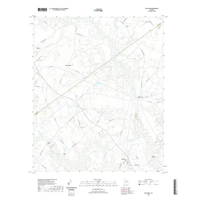 2020 Hilltonia2020 Print · USGSScreven and Burke counties are shown here at the turn of the twenty-first century, centered on the wetlands of Brier Creek. Researchers can locate family landmarks like Jenkins Cem and Lovetts Cem or trace the old roads near Sardis and Millhaven.
 - 2020 Map of Jacksonboro Bridge, 2020 Print
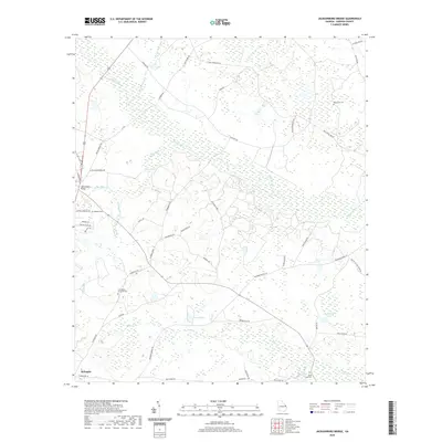 2020 Jacksonboro Bridge2020 Print · USGSScreven County at the start of the 2020s shows a landscape deeply shaped by its waterways and rural community centers. Genealogists and local historians can trace the placement of Reddick Cem and Buck Creek Cem or locate historic crossings like Jacksonboro Bridge.
 - 2020 Map of Rocky Ford, 2020 Print
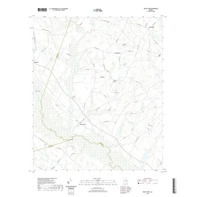 2020 Rocky Ford2020 Print · USGSScreven County in the early twenty-first century remains a landscape of river-bottom wetlands and scattered rural settlements. Genealogists can trace family footprints across numerous sites like Rocky Ford Cem, Parker Cem, and the community of Thomasboro.
 - 2020 Map of Sardis, 2020 Print
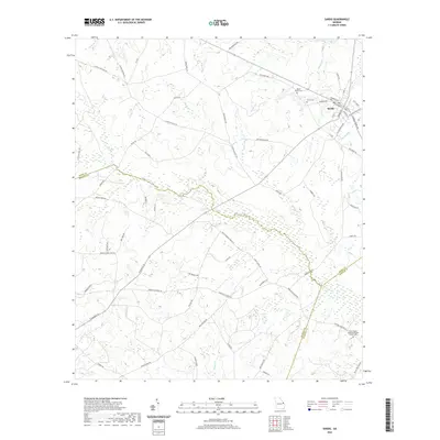 2020 Sardis2020 Print · USGSThe town of Sardis is captured here at the start of the 2020s, showing its position within a landscape of winding creeks and family landholdings. Researchers can locate local landmarks like Ellis Chapel United Methodist Church, Beech Branch Cem, and Cushion Pond.
 - 2024 Map of Bay Branch, 2024 Print
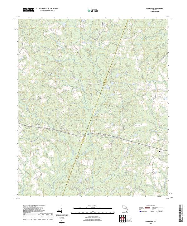 2024 Bay Branch2024 Print · USGSCoastal plain farmland and creek bottoms define this rural corner of Georgia in the early twenty-first century. Family researchers can locate the Bay Branch Cem and Braggs Cem, or trace the historical water power of Braggs Mill Creek.
 - 2024 Map of Sylvania South, 2024 Print
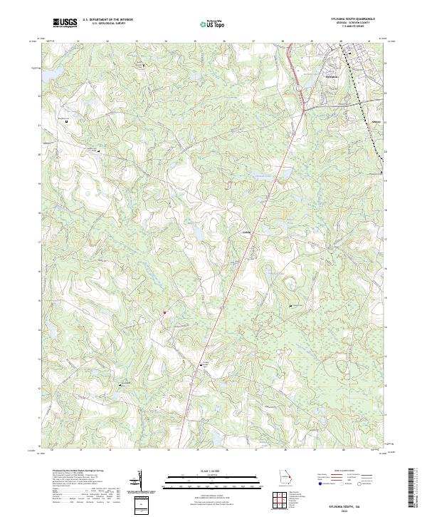 2024 Sylvania South2024 Print · USGSScreven County just south of the city center is shown here in its contemporary state, where agricultural interests and family history intersect. Genealogists can trace rural family plots like Zeigler Cem Three or locate the small community of Goloid near the many branches of the Ogeechee Creek.
 - 2024 Map of Hilltonia, 2024 Print
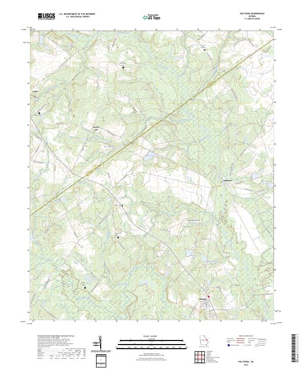 2024 Hilltonia2024 Print · USGSScreven and Burke Counties appear in this modern survey as a landscape of rural crossroads and historical family lands. Genealogists can trace local heritage through many sites like Old McCaannan Cem, Hurst Cem, and the settlement at Millhaven.
 - 2024 Map of Sylvania North, 2024 Print
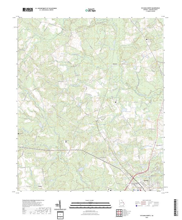 2024 Sylvania North2024 Print · USGSScreven County, Georgia, is documented here in the 2020s, showing the residential and administrative heart of Sylvania. Genealogists and historians can locate family burial sites at Bascom Cem and Waters Cem or trace the drainage of Beaverdam Creek.
 - 2024 Map of Kildare, 2024 Print
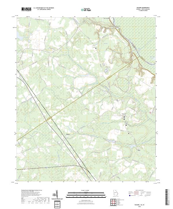 2024 Kildare2024 Print · USGSCoastal plain wetlands and small rural settlements define the Effingham County landscape in recent years. Genealogists can trace family histories through numerous local burial grounds, including Dugger Cem, Oak Grove Cem, and Eneck Cem.
 - 2024 Map of Dover, 2024 Print
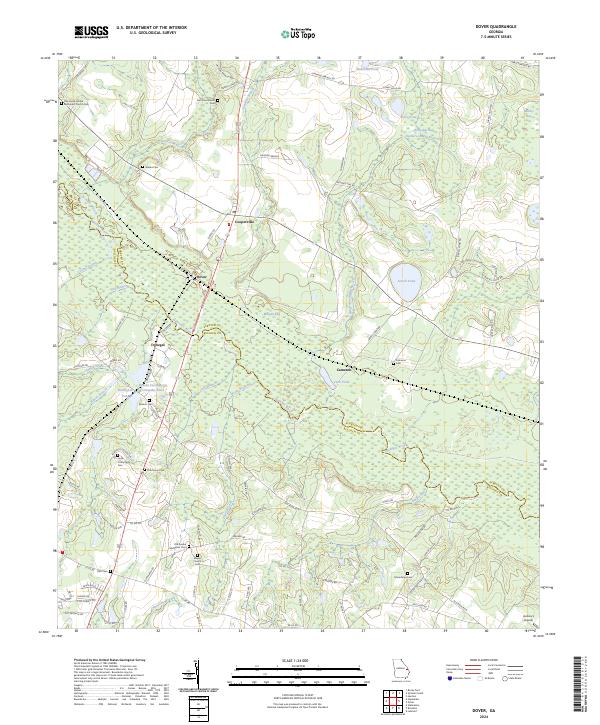 2024 Dover2024 Print · USGSScreven and Bulloch Counties meet along the winding Ogeechee River in this modern survey of eastern Georgia. Genealogists can trace numerous family-named landmarks and rural burial sites, from Wades Cem and Branon Cem to the settlement at Cooperville.
Showing maps 1-25 of 38
Top cities of Screven County
- Sylvania historical maps
- Hiltonia historical maps
- Newington historical maps
- Oliver historical maps
- Rocky Ford historical maps
Frequently asked questions
- What are the different types of historical maps available for Screven County?
- What is the oldest map of Screven County?
- Where can I purchase historical maps of Screven County for my home or office?
- Where can I download high-res historical maps of Screven County?
- Are there historical topographic maps available for Screven County?
- Is there historical aerial imagery available for Screven County?
- Where are historical maps of Screven County sourced from?