2010s Maps of Tift County, Georgia
Explore 30 historic maps of Tift County from the 2010s. These maps offer a rare glimpse into what life looked like during the 2010s — showing old roads, neighborhoods, homes, and landmarks that have changed or disappeared over time.
Whether you're researching your family's past, planning a metal detecting trip, or studying how Tift County's landscape evolved across the 2010s, these high-resolution maps are a powerful tool for exploring the history of this region.
- Focus on a specific era: All maps on this page are from the 2010s, giving you a focused view of this time period.
- See what’s changed: Compare century-old streets, trails, and buildings to today's modern landscape using overlays and satellite layers.
- Research with precision: Use these maps for genealogy, historical research, land use analysis, or educational projects.
- View, download, or print: Maps are fully viewable online in high resolution, and can be downloaded or printed for your own records.
Start exploring Tift County's history through authentic maps from the 2010s. This is your window into the past.
Tift County, GA maps
(30)- 2011 Map of Tifton East, 2011 Print
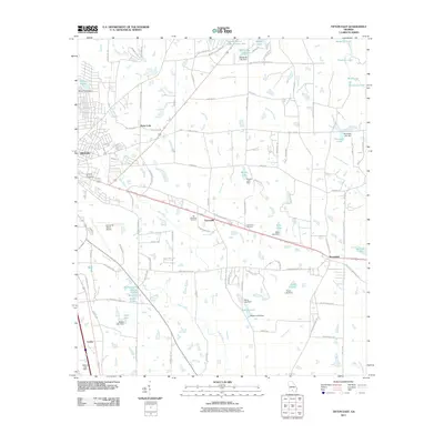 2011 Tifton East2011 Print · USGSTift County's agricultural heartland is documented here in the early twenty-first century, showing the rural communities of Vanceville and Brookfield. Researchers can trace local landmarks like Lawrence Cemetery and the many private impoundments including Stone Lake and Hawes Lake.
 - 2011 Map of Enigma, 2011 Print
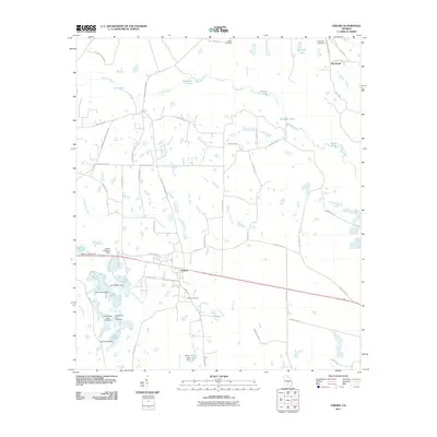 2011 Enigma2011 Print · USGSSouth Georgia’s agricultural landscape is centered around Enigma and the winding Alapaha River during the early twenty-first century. Researchers can trace local heritage and land use through features like Enigma Cemetery, Paulks Cemetery, and Ferry Lake.
 - 2011 Map of Ty Ty, 2011 Print
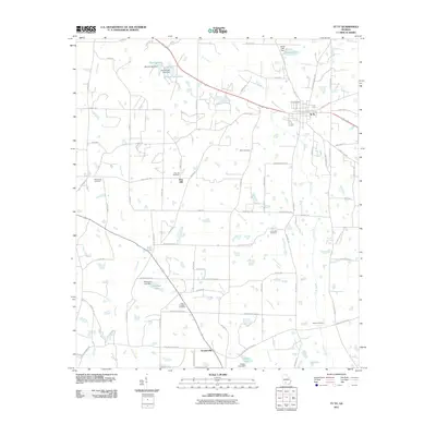 2011 Ty Ty2011 Print · USGSThe Georgia coastal plain around Ty Ty and Scooterville is shown here in the early twenty-first century. Family historians can trace numerous rural burial grounds, including New Prospect Cemetery, Salem Cemetery, and Pine Hill Cemetery, alongside legacy water bodies like Kelley Lake.
 - 2011 Map of Chula, 2011 Print
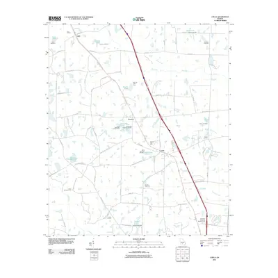 2011 Chula2011 Print · USGSTift County is captured here in the early twenty-first century, showing a landscape defined by agricultural research and small rural communities. Researchers can locate family landmarks like Fletcher Cemetery or trace the water systems of Whiddons Millpond and Baker Lake.
 - 2011 Map of Lenox, 2011 Print
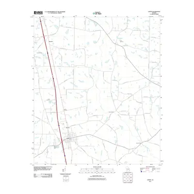 2011 Lenox2011 Print · USGSThe rural landscape around Lenox and Staunton is seen here in the early twenty-first century, defined by its creeks and agricultural crossroads. Genealogists and local historians can locate the Rutland Cemetery, Mathis Cemetery, and crossings at Hesters Bridge.
 - 2011 Map of Waterloo, 2011 Print
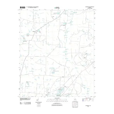 2011 Waterloo2011 Print · USGSThis rural Georgia landscape near the Alapaha River is documented here as it appeared in the early twenty-first century. Genealogists and local historians can locate long-standing community landmarks like Eureka Church, Waterloo Cemetery, and Harding Cemetery.
 - 2011 Map of Sumner, 2011 Print
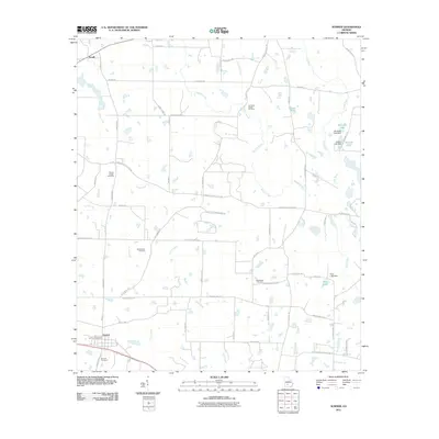 2011 Sumner2011 Print · USGSWorth County is captured here in the early twenty-first century, showing a landscape shaped by the Little River and small rural communities. Genealogists can trace family roots through several local landmarks like Old Sumner Cemetery, Damascus Cemetery, and the Sumner Post Office.
 - 2011 Map of Omega, 2011 Print
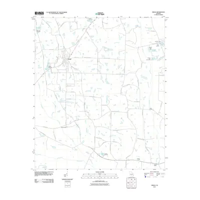 2011 Omega2011 Print · USGSOmega and the surrounding Tift County countryside are shown here in the early twenty-first century, featuring a landscape of rural roads and family-named landmarks. Researchers can trace the routes to Mount Vernon Cemetery, find old crossings like Lotts Bridge, or locate Lindsey Lake.
 - 2011 Map of Norman Park, 2011 Print
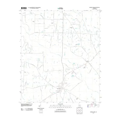 2011 Norman Park2011 Print · USGSColquitt County, Georgia, at the start of the 2010s shows a landscape of rural crossroads and established family settlements. Researchers can locate numerous burial grounds such as Deep Bottom Cemetery and Yates Cemetery or trace the waters of Warrior Creek.
 - 2011 Map of Tifton West, 2011 Print
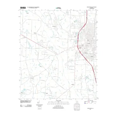 2011 Tifton West2011 Print · USGSTifton and its western outskirts are captured here during a period of steady growth and suburban transition. Researchers can trace family sites near Kelltown, Phillipsburg, and Unionville, or locate ancestral plots in Oak Ridge Cemetery and Greenwood Cemetery.
 - 2014 Map of Omega, 2014 Print
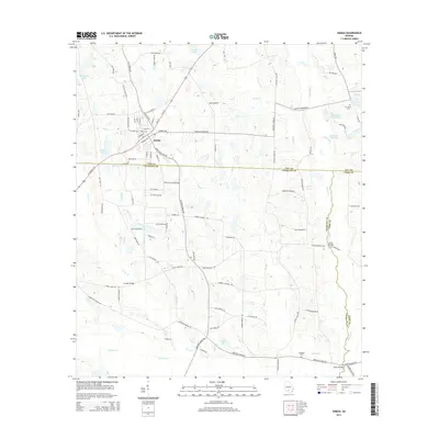 2014 Omega2014 Print · USGSThe agricultural heart of Southern Georgia comes alive in this survey of the tri-county borderlands during the early twenty-first century. Genealogists and local historians can trace family-named roads and landmarks like McMillan Cem, Sharon Church, and Patrick Lake.
 - 2014 Map of Norman Park, 2014 Print
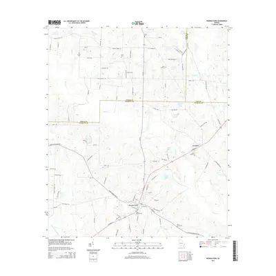 2014 Norman Park2014 Print · USGSColquitt County agricultural lands and rural settlements are captured here in the early twenty-first century. Researchers can trace family history through numerous burial grounds like Tompkins Cem and Sandy Ridge Cem or locate the center of Norman Park.
 - 2014 Map of Enigma, 2014 Print
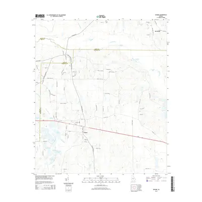 2014 Enigma2014 Print · USGSBerrien and Tift counties in the early twenty-first century are defined by small crossroads settlements and the winding Alapaha River. Genealogists and local historians can trace family-named sites like Paulks Cem, Riverbend, and the waters of Hardy Millpond.
 - 2014 Map of Chula, 2014 Print
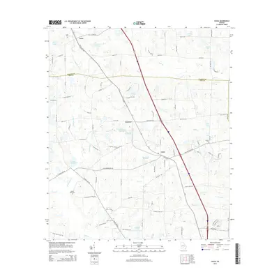 2014 Chula2014 Print · USGSSouth Georgia agricultural life is centered around Chula and Sunsweet during the early twenty-first century. Researchers can locate family burial sites at Smith Cem and Inaha Cem or trace water features like Whiddons Millpond.
 - 2014 Map of Tifton East, 2014 Print
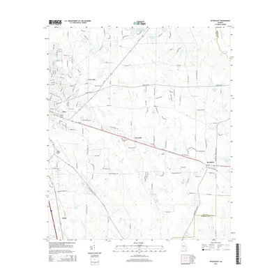 2014 Tifton East2014 Print · USGSTift County is captured here in the early twenty-first century, showing the established communities and water-bound landscapes of the Georgia coastal plain. Genealogists and local historians can trace the outskirts of Tifton and find smaller landmarks like Lawrence Cem and Vanceville.
 - 2014 Map of Sumner, 2014 Print
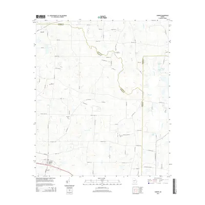 2014 Sumner2014 Print · USGSSumner and the surrounding agricultural lands of Worth County are captured here in the early twenty-first century. Researchers can trace historical family locations and burial sites at Old Sumner Cem, Millers Chapel Cem, and the settlement of Terrell.
 - 2014 Map of Lenox, 2014 Print
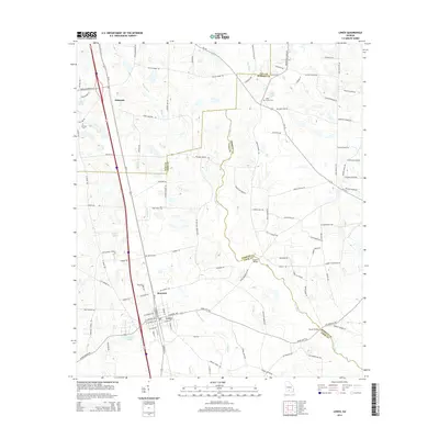 2014 Lenox2014 Print · USGSThe town of Lenox and its surrounding South Georgia farm country are captured here during a period of steady rural development. Genealogists can locate family landmarks such as Mathis Cem, Ebenezer Church, and the river crossing at Hesters Bridge.
 - 2014 Map of Waterloo, 2014 Print
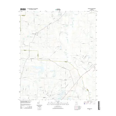 2014 Waterloo2014 Print · USGSThe borderlands of Irwin and Tift Counties come into focus in the early twenty-first century, showing a landscape defined by the Alapaha River. Researchers can locate family landmarks like Eureka Cem, Macedonia Church, and the settlement at Waterloo.
 - 2014 Map of Ty Ty, 2014 Print
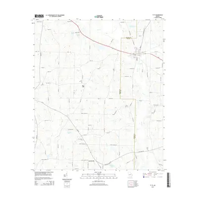 2014 Ty Ty2014 Print · USGSThe Tift and Worth County line area is documented here during the early twenty-first century, centered on the historic town of Ty Ty. Genealogists and local historians can trace rural burial sites like Salem Cem and New Prospect Cem or follow the waters of Lolly Cr.
 - 2014 Map of Tifton West, 2014 Print
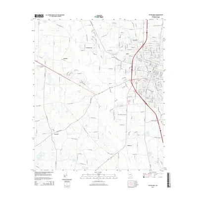 2014 Tifton West2014 Print · USGSTifton and its western outskirts are captured here in the mid-2010s as the area balances its agricultural identity with regional growth. Researchers can locate family sites and landmarks like Abraham Baldwin Agricultural Coll, Oak Ridge Cem, and the Ty Ty Lookout Tower.
 - 2017 Map of Sumner, 2017 Print
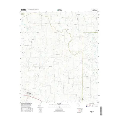 2017 Sumner2017 Print · USGSWorth and Tift Counties are shown in detail during the late twenty-teens, documenting a landscape shaped by the Little River and traditional farming settlements. Researchers can locate numerous local landmarks including Sumner Cem, Ross Lake, and the historic Old Sumner Cem.
 - 2017 Map of Lenox, 2017 Print
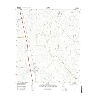 2017 Lenox2017 Print · USGSThe rural communities of Lenox and Eldorado are shown during the late twenty-tens, where the New River and Reedy Cr shape the South Georgia landscape. Researchers can trace family history at Oaky Grove Cem or locate historic crossings like Hesters Bridge.
 - 2017 Map of Tifton East, 2017 Print
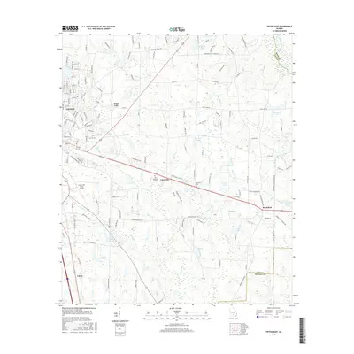 2017 Tifton East2017 Print · USGSThe eastern edges of Tift County are captured here in the late 2010s, showing the transition from urban industry to riverine bottomlands. Researchers can trace the legacy of local families through landmarks like Lawrence Cem, Vanceville, and the grounds of the Henry Tift Myers Airport.
 - 2017 Map of Norman Park, 2017 Print
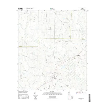 2017 Norman Park2017 Print · USGSNorman Park and the tri-county borders of Colquitt, Worth, and Tift Counties are captured here in the late twenty-teens. Genealogists can locate several family burial grounds including Tompkins Cem and Sandy Ridge Cem near the rail line through Crosland.
 - 2017 Map of Omega, 2017 Print
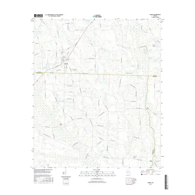 2017 Omega2017 Print · USGSThe tri-county borderlands of Tift, Colquitt, and Cook counties come alive in this recent survey of the rural South. Researchers can pinpoint early family landmarks like Mount Vernon Cemetery and historic river crossings at Lotts Bridge or Powells Bridge.
Showing maps 1-25 of 30
Top cities of Tift County
Frequently asked questions
- What are the different types of historical maps available for Tift County?
- What is the oldest map of Tift County?
- Where can I purchase historical maps of Tift County for my home or office?
- Where can I download high-res historical maps of Tift County?
- Are there historical topographic maps available for Tift County?
- Is there historical aerial imagery available for Tift County?
- Where are historical maps of Tift County sourced from?