Old Maps of Hawaiian Beaches, Hawaii for Academic Research
Study the evolution of Hawaiian Beaches with 29 high-resolution historic maps. Whether you're teaching, researching, or modeling changes in land use, these maps provide essential visual documentation of urban, environmental, and geographic change.
- Analyze long-term change: Track patterns in development, transportation, and natural features.
- Ideal for environmental or urban studies: Support academic projects with primary historical map data.
- Use in the classroom or lab: Educators and researchers rely on these maps to bring historical context to life.
These maps are a powerful tool for teaching, research, and visualizing how Hawaiian Beaches has changed over the decades.
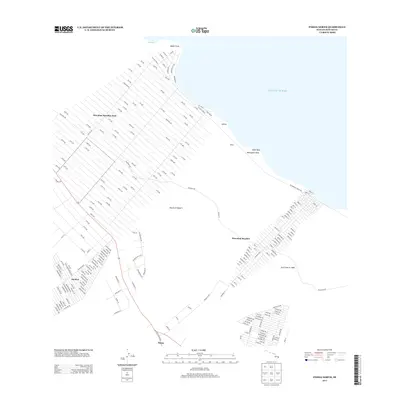
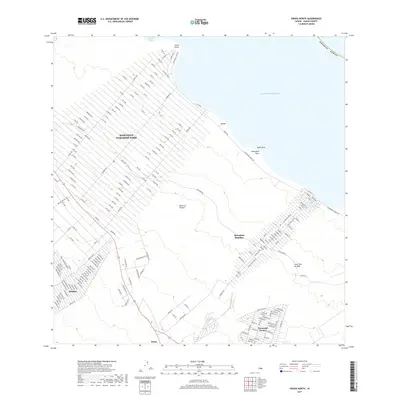
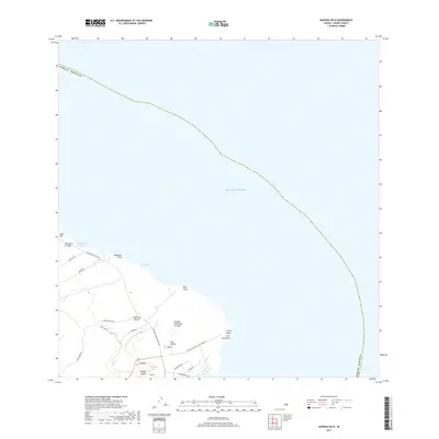
Hawaiian Beaches, HI maps
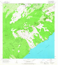
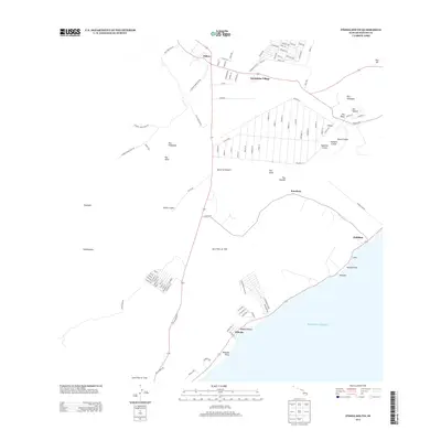
(29)- 1924 Map of Makuu
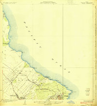 1924 Makuu1924 Print · USGSThe Puna coastline in the early twentieth century was a landscape of rail-linked plantations and volcanic terrain. You can trace the Hawaii Consolidated Railway as it services Honolulu Landing and the Nanawale Homesteads near the Lava Flow of 1840.3 unique versions available
 - 1924 Map of Kalapana
 1924 Kalapana1924 Print · USGSThe Puna coastline comes to life in the early twenties, showing a landscape of volcanic craters and early homesteading tracts. Genealogists and historians can locate family lands like the Kaniahiku Homesteads or trace the Consolidated Hawaii Railway to the village of Pahoa.4 unique versions available
 - 1954 Map of Hawaii South
 1954 Hawaii South1954 Print · USGSThe southern reaches of the Big Island in the mid-fifties show a landscape of volcanic peaks, coastal villages, and upland timber mills. Researchers can trace the old island infrastructure through sites like Koa Mill, Hoopuloa, and the remote Mountain House.
 - 1954 Map of Hawaii North
 1954 Hawaii North1954 Print · USGSThe Big Island in the mid-fifties shows a landscape of active volcanic history and a peak sugar-mill economy. Trace the route of the Hawaii Consolidated Railway, locate the Olaa Plantation Mill, and see the extent of the Lava flow of 1881 near Hilo.
 - 1959 Map of Hawaii South
 1959 Hawaii South1959 Print · USGSThe southern half of the Big Island appears here in the late fifties, dominated by the active volcanic peaks and extensive forest reserves. Researchers can trace the mid-century footprints of Pahala, Waiohinu, and the agricultural grounds of Gaspard Dairy.
 - 1959 Map of Hawaii North
 1959 Hawaii North1959 Print · USGSThe northern half of Hawaii Island in the late fifties shows a landscape shaped by historic volcanic activity and a thriving sugar and ranching economy. Researchers can trace historic lava flows alongside local landmarks like Upolu Point Airport, Huehue Ranch, and the Pacific Sugar Mill.
 - 1961 Map of Hawaii North
 1961 Hawaii North1961 Print · USGSThe Big Island's northern reaches are shown here in the early sixties, during the peak of the sugar era and before modern resort development. Researchers can trace the Hawaii Consolidated railroad, locate the Ahu a Umi Heiau Ruins, and explore sugar industry landmarks like the Pacific Sugar Mill.2 unique versions available
 - 1961 Map of Hawaii South
 1961 Hawaii South1961 Print · USGSThe southern region of the Big Island appears here in the early sixties, illustrating a landscape of volcanic craters and remote agricultural outposts. Genealogists and historians can trace the locations of Wood Valley Camp, the Koa Mill, and the ruins at Kahio.
 - 1962 Map of Hawaii South
 1962 Hawaii South1962 Print · USGSThe southern half of Hawaii Island in the early sixties showcases a landscape defined by volcanic rifts and coastal settlements. Researchers can trace the Hawaii Consolidated rail line, find the Kuee (Ruined) site, and locate remote camps like Hooper Camp.2 unique versions available
 - 1965 Map of Pahoa North, 1967 Print
 1965 Pahoa North1967 Print · USGSThe Puna coast in the mid-1960s reveals a unique landscape shaped by volcanic history and early homesteading. Researchers can trace the massive Lava Flow 1840, explore the remote Honolulu Landing, and locate the Makuu (Site) along the shore.2 unique versions available
 - 1965 Map of Kapoho, 1967 Print
 1965 Kapoho1967 Print · USGSThe Puna District coastline is captured here in the mid-1960s, showing a landscape recently transformed by volcanic eruptions. Researchers can locate ancient cultural sites like Mahinaakaka Heiau alongside newer landmarks like the Kapoho Landing Strip and Isaac Hale Park.
 - 1966 Map of Pahoa South, 1967 Print
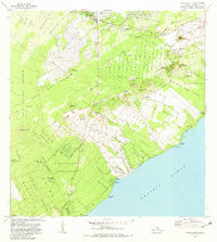
 1966 Pahoa South1967 Print · USGSThe Puna District of Hawaii in the mid-sixties shows a landscape transformed by recent volcanic activity. Researchers can trace the massive Lava Flow of 1955 as it moves past Kaniahiku Village and through various Kamaili Homesteads toward the coast.
 - 1975 Map of Hawaii, 1977 Print
 1975 Hawaii1977 Print · USGSThe Big Island in the mid-seventies is captured here as a landscape of volcanic giants and coastal sugar communities. Genealogists and historians can locate former plantation sites like Pepeekeo Mill or trace the routes of the Mamalahoa Highway through Kamuela.
 - 1980 Map of Pahoa South, 1981 Print
 1980 Pahoa South1981 Print · USGSThe Puna District of Hawaii comes into focus during the early eighties, showing a landscape shaped by recent volcanic activity and modern homesteading. Researchers can trace the path of the Lava Flow of 1955 through coastal tracts or locate historic sites like Kaniahiku Village and the Old Railroad Grade.
 - 1980 Map of Hawaii County Sheet 2, 1985 Print
 1980 Hawaii County Sheet 21985 Print · USGSThe eastern coast of the Big Island is captured here in the early eighties, showcasing the intersection of active volcanic landforms and historic plantation towns. Researchers can trace family roots through settlements like Laupahoehoe and Papaikou, or explore the road networks around Kilauea Crater and General Lyman Field.
 - 1981 Map of Kapoho
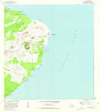 1981 Kapoho1981 Print · USGSThe Puna coastline is captured here in the early eighties, showing a landscape transformed by the Lava Flow of 1960 and earlier eruptions. Researchers can find archaeological sites like Kukii Heiau, coastal landmarks like Cape Kumukahi, and local features such as Green Lake.
 - 1981 Map of Pahoa North
 1981 Pahoa North1981 Print · USGSThe Puna coastline and the burgeoning subdivisions north of Pahoa are documented here in the early eighties. Genealogists and historians can locate family holdings in the Nanawale Homesteads or trace the historical site of Makuu and Honolulu Landing.2 unique versions available
 - 1994 Map of Pahoa South, 1998 Print
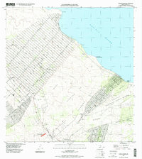
 1994 Pahoa South1998 Print · USGSThe Puna coast of the Big Island during the late nineties reveals a landscape of volcanic activity and homestead settlements. Researchers can trace the massive Lava Flow of 1955 as it meets the sea near Opihikao and Kaniahiku Village.
 - 1995 Map of Kapoho, 1998 Print
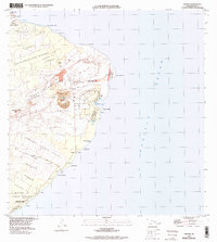 1995 Kapoho1998 Print · USGSThe Puna coastline in the mid-nineties shows a landscape defined by recent volcanic activity and resilient coastal settlements. Researchers can trace the path of the Lava Flow of 1960 as it approached the U S Coast Guard Reservation and Cape Kumukahi.3 unique versions available
 - 1995 Map of Pahoa North, 2000 Print
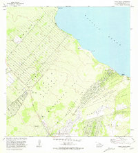
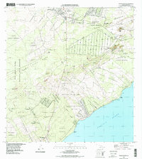
 1995 Pahoa North2000 Print · USGSThe Puna coastline in the late nineties shows a landscape defined by expansive residential grids and volcanic history. Researchers can trace the path of the Lava Flow of 1840 and locate coastal landmarks like Honolulu Landing and the Makuu (Site).
 - 2013 Map of Kapoho OE N, 2013 Print
 2013 Kapoho OE N2013 Print · USGSCovers Hawaiian Beaches, including Waa Waa, Koae, and other nearby areas
 - 2013 Map of Pahoa South, 2013 Print
 2013 Pahoa South2013 Print · USGSCovers Hawaiian Beaches, including Pahoa, Nanawale Estates, and other nearby areas
 - 2013 Map of Pahoa North, 2013 Print
 2013 Pahoa North2013 Print · USGSCovers Hawaiian Beaches, including Pahoa, Hawaiian Paradise Park, and other nearby areas
 - 2017 Map of Pahoa North, 2017 Print
 2017 Pahoa North2017 Print · USGSCovers Hawaiian Beaches, including Pahoa, Hawaiian Paradise Park, and other nearby areas
 - 2017 Map of Kapoho OE N, 2017 Print
 2017 Kapoho OE N2017 Print · USGSCovers Hawaiian Beaches, including Waa Waa, Koae, and other nearby areas
Showing maps 1-25 of 29
Top cities near Hawaiian Beaches
Top neighborhoods of Hawaiian Beaches
Frequently asked questions
- What are the different types of historical maps available for Hawaiian Beaches?
- What is the oldest map of Hawaiian Beaches?
- Where can I purchase historical maps of Hawaiian Beaches for my home or office?
- Where can I download high-res historical maps of Hawaiian Beaches?
- Are there historical topographic maps available for Hawaiian Beaches?
- Is there historical aerial imagery available for Hawaiian Beaches?
- Where are historical maps of Hawaiian Beaches sourced from?