2000s (21st Century) Maps of Downey, Idaho
Explore 10 historic maps of Downey from the 2000s (21st Century). These maps offer a rare glimpse into what life looked like during the 2000s — showing old roads, neighborhoods, homes, and landmarks that have changed or disappeared over time.
Whether you're researching your family's past, planning a metal detecting trip, or studying how Downey's landscape evolved across the 2000s, these high-resolution maps are a powerful tool for exploring the history of this region.
- Focus on a specific era: All maps on this page are from the 2000s, giving you a focused view of this time period.
- See what’s changed: Compare century-old streets, trails, and buildings to today's modern landscape using overlays and satellite layers.
- Research with precision: Use these maps for genealogy, historical research, land use analysis, or educational projects.
- View, download, or print: Maps are fully viewable online in high resolution, and can be downloaded or printed for your own records.
Start exploring Downey's history through authentic maps from the 2000s. This is your window into the past.
Downey, ID maps
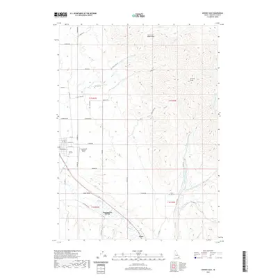
(10)- 2010 Map of Downey East, 2010 Print
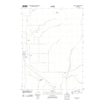 2010 Downey East2010 Print · USGSCovers Downey, including Bannock County, United States, and other nearby areas
 - 2011 Map of Downey West, 2011 Print
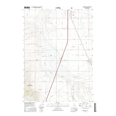
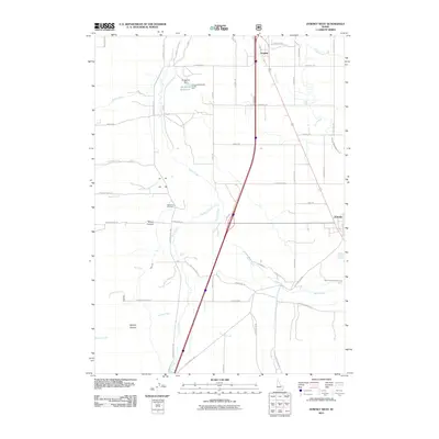 2011 Downey West2011 Print · USGSCovers Downey, including Virginia, Bannock County, and other nearby areas
 - 2013 Map of Downey West, 2013 Print
 2013 Downey West2013 Print · USGSCovers Downey, including Virginia, Bannock County, and other nearby areas
 - 2013 Map of Downey East, 2013 Print
 2013 Downey East2013 Print · USGSCovers Downey, including Bannock County, United States, and other nearby areas
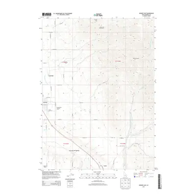
 - 2017 Map of Downey East, 2017 Print
 2017 Downey East2017 Print · USGSCovers Downey, including Bannock County, United States, and other nearby areas
 - 2017 Map of Downey West, 2017 Print
 2017 Downey West2017 Print · USGSCovers Downey, including Virginia, Bannock County, and other nearby areas
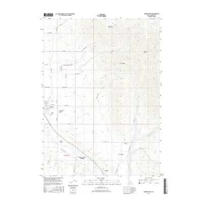
 - 2020 Map of Downey East, 2020 Print
 2020 Downey East2020 Print · USGSCovers Downey, including Bannock County, United States, and other nearby areas
 - 2020 Map of Downey West, 2020 Print
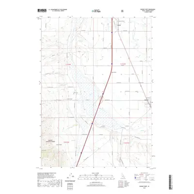 2020 Downey West2020 Print · USGSCovers Downey, including Virginia, Bannock County, and other nearby areas
 - 2024 Map of Downey East, 2024 Print
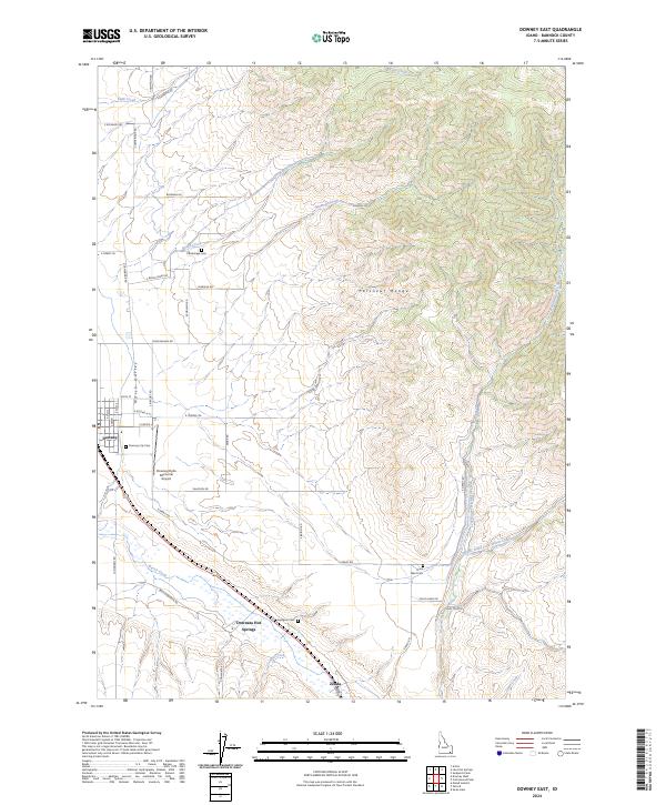 2024 Downey East2024 Print · USGSThe eastern Portneuf Range and Marsh Valley are captured here as they appear today, preserving the rural character of southeastern Idaho. Local historians can trace family locations near Downey, Downata Hot Springs, and several remote sites like Cambridge Cem or Grant Ward Cem.
 - 2024 Map of Downey West, 2024 Print
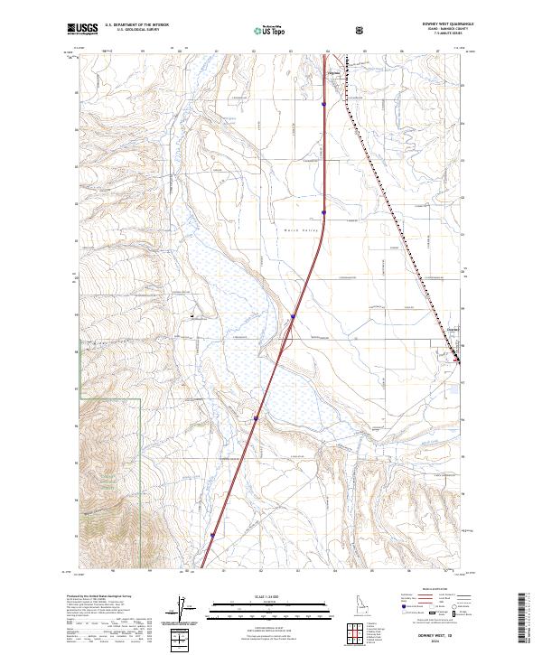 2024 Downey West2024 Print · USGSBannock County is seen here in the current era, where the intricate irrigation networks of the Marsh Valley meet the forest edge. Researchers can locate the Woodland Cem and trace old routes like Old US Hwy 91 near the settlements of Virginia and Downey.
End of results
Showing maps 1-10 of 10
Top cities near Downey
- Malad City historical maps
- McCammon historical maps
- Lava Hot Springs historical maps
- Arimo historical maps
- Oxford historical maps
Frequently asked questions
- What are the different types of historical maps available for Downey?
- What is the oldest map of Downey?
- Where can I purchase historical maps of Downey for my home or office?
- Where can I download high-res historical maps of Downey?
- Are there historical topographic maps available for Downey?
- Is there historical aerial imagery available for Downey?
- Where are historical maps of Downey sourced from?