Old Maps of Downey, Idaho for Hiking & Exploration
Hike through history with 15 historic maps of Downey. Explore old trails, ghost towns, and forgotten backroads — perfect for outdoor adventurers and local explorers.
- Rediscover forgotten places: Map out old mining camps, roads, and footpaths that no longer exist on modern maps.
- Layer with modern tools: Combine with LiDAR or satellite views to plan hikes through historical terrain.
- Made for exploration: Popular among hikers, overlanders, and local history lovers.
Use these maps to find adventure and explore the hidden past of Downey.
Downey, ID maps
(15)- 1954 Map of Pocatello, 1963 Print
 1954 Pocatello1963 Print · USGSSoutheast Idaho in the mid-1950s reveals a landscape shaped by massive water reclamation and mountain forests. Researchers can trace the development of the Fort Hall Indian Reservation or locate specific landmarks like the Arbon P O and Emerson School.4 unique versions available
 - 1958 Map of Pocatello
 1958 Pocatello1958 Print · USGSSoutheastern Idaho in the late fifties was a landscape of expanding reservoirs and historic trails. Genealogists and historians can trace the Old Oregon Trail, locate the Bannock Creek Indian Day School, and study the many Union Pacific rail sidings.2 unique versions available
 - 1968 Map of Downey West, 1971 Print
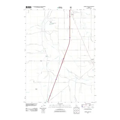
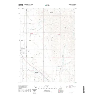
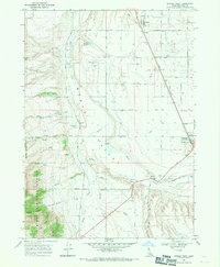 1968 Downey West1971 Print · USGSBannock County's Marsh Valley is seen here in the late sixties as a thriving rail and irrigation corridor. Trace family history at the Woodland Cem or explore the infrastructure around Downey, including the Bannock County Fairgrounds and the Union Pacific line.2 unique versions available
 - 1968 Map of Downey East, 1971 Print
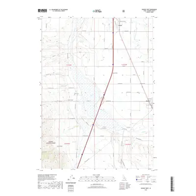
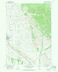 1968 Downey East1971 Print · USGSBannock County was a corridor of rail and road travel in the late sixties, centered on the irrigation and ranching of Marsh Valley. Genealogists and historians can trace the foundations of Downey, locate the Grant Ward Cem, and find the historic Downata Hot Springs.2 unique versions available
 - 1984 Map of Malad City
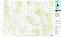 1984 Malad City1984 Print · USGSSoutheastern Idaho in the mid-eighties shows a landscape of high valleys and prominent ranges between the Malad and Curlew basins. Genealogists and historians can trace the foundations of local ranching communities like Samaria, Holbrook, and Arbon, or locate the Black Pine Bird Sanctuary.2 unique versions available
 - 2010 Map of Downey East, 2010 Print
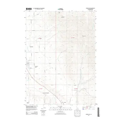
 2010 Downey East2010 Print · USGSCovers Downey, including Bannock County, United States, and other nearby areas
 - 2011 Map of Downey West, 2011 Print
 2011 Downey West2011 Print · USGSCovers Downey, including Virginia, Bannock County, and other nearby areas
 - 2013 Map of Downey West, 2013 Print
 2013 Downey West2013 Print · USGSCovers Downey, including Virginia, Bannock County, and other nearby areas
 - 2013 Map of Downey East, 2013 Print
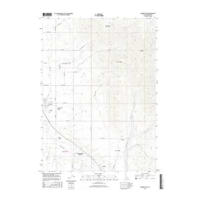
 2013 Downey East2013 Print · USGSCovers Downey, including Bannock County, United States, and other nearby areas
 - 2017 Map of Downey East, 2017 Print
 2017 Downey East2017 Print · USGSCovers Downey, including Bannock County, United States, and other nearby areas
 - 2017 Map of Downey West, 2017 Print
 2017 Downey West2017 Print · USGSCovers Downey, including Virginia, Bannock County, and other nearby areas
 - 2020 Map of Downey East, 2020 Print
 2020 Downey East2020 Print · USGSCovers Downey, including Bannock County, United States, and other nearby areas
 - 2020 Map of Downey West, 2020 Print
 2020 Downey West2020 Print · USGSCovers Downey, including Virginia, Bannock County, and other nearby areas
 - 2024 Map of Downey East, 2024 Print
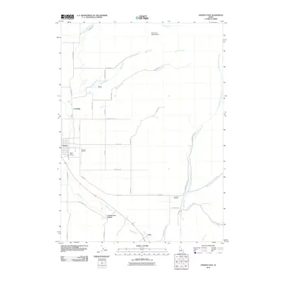
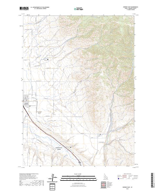 2024 Downey East2024 Print · USGSThe eastern Portneuf Range and Marsh Valley are captured here as they appear today, preserving the rural character of southeastern Idaho. Local historians can trace family locations near Downey, Downata Hot Springs, and several remote sites like Cambridge Cem or Grant Ward Cem.
 - 2024 Map of Downey West, 2024 Print
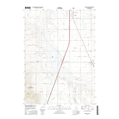
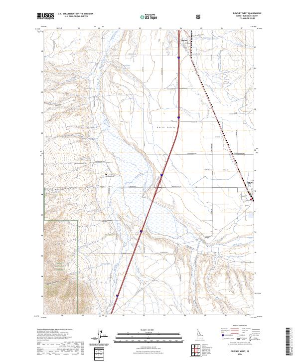 2024 Downey West2024 Print · USGSBannock County is seen here in the current era, where the intricate irrigation networks of the Marsh Valley meet the forest edge. Researchers can locate the Woodland Cem and trace old routes like Old US Hwy 91 near the settlements of Virginia and Downey.
End of results
Showing maps 1-15 of 15
Top cities near Downey
- Malad City historical maps
- McCammon historical maps
- Lava Hot Springs historical maps
- Arimo historical maps
- Oxford historical maps
Frequently asked questions
- What are the different types of historical maps available for Downey?
- What is the oldest map of Downey?
- Where can I purchase historical maps of Downey for my home or office?
- Where can I download high-res historical maps of Downey?
- Are there historical topographic maps available for Downey?
- Is there historical aerial imagery available for Downey?
- Where are historical maps of Downey sourced from?