Old Maps of Blaine County, Idaho for Academic Research
Study the evolution of Blaine County with 101 high-resolution historic maps. Whether you're teaching, researching, or modeling changes in land use, these maps provide essential visual documentation of urban, environmental, and geographic change.
- Analyze long-term change: Track patterns in development, transportation, and natural features.
- Ideal for environmental or urban studies: Support academic projects with primary historical map data.
- Use in the classroom or lab: Educators and researchers rely on these maps to bring historical context to life.
These maps are a powerful tool for teaching, research, and visualizing how Blaine County has changed over the decades.
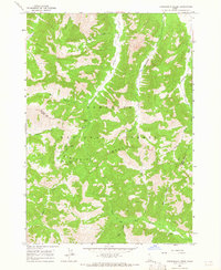
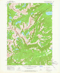
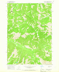
Blaine County, ID maps
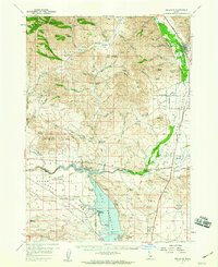
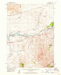
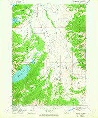
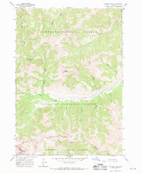
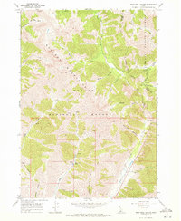
(101)- 1895 Map of Hailey, 1954 Print
 1895 Hailey1954 Print · USGSCovers Blaine County, including Hailey, Ketchum, and other nearby areas2 unique versions available
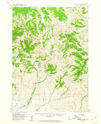
 - 1897 Map of Hailey
 1897 Hailey1897 Print · USGSCovers Blaine County, including Hailey, Ketchum, and other nearby areas3 unique versions available
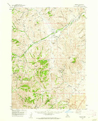
 - 1900 Map of Sawtooth
 1900 Sawtooth1900 Print · USGSCovers Blaine County, including Cathedral Pines, Easley Hot Springs, and other nearby areas4 unique versions available
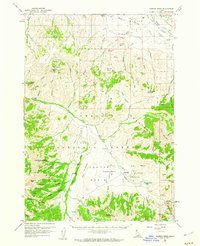
 - 1935 Map of MacKay
 1935 MacKay1935 Print · USGSCovers Blaine County, including Mackay, Lost River, and other nearby areas
 - 1954 Map of Pocatello, 1963 Print
 1954 Pocatello1963 Print · USGSCovers Blaine County, including Pocatello, Burley, and other nearby areas4 unique versions available
 - 1955 Map of Idaho Falls, 1963 Print
 1955 Idaho Falls1963 Print · USGSCovers Blaine County, including Idaho Falls, Blackfoot, and other nearby areas5 unique versions available
 - 1955 Map of Hailey, 1968 Print
 1955 Hailey1968 Print · USGSCovers Blaine County, including Mountain Home, Hailey, and other nearby areas4 unique versions available
 - 1957 Map of Bellevue, 1959 Print
 1957 Bellevue1959 Print · USGSCovers Blaine County, including Hailey, Bellevue, and other nearby areas2 unique versions available
 - 1957 Map of Blaine, 1959 Print
 1957 Blaine1959 Print · USGSCovers Blaine County, including Camas County, United States, and other nearby areas3 unique versions available
 - 1957 Map of Bellevue, 1973 Print
 1957 Bellevue1973 Print · USGSCovers Blaine County, including Hailey, Bellevue, and other nearby areas
 - 1958 Map of Idaho Falls
 1958 Idaho Falls1958 Print · USGSCovers Blaine County, including Idaho Falls, Blackfoot, and other nearby areas2 unique versions available
 - 1958 Map of Pocatello
 1958 Pocatello1958 Print · USGSCovers Blaine County, including Pocatello, Burley, and other nearby areas2 unique versions available
 - 1959 Map of Hailey
 1959 Hailey1959 Print · USGSCovers Blaine County, including Mountain Home, Hailey, and other nearby areas2 unique versions available
 - 1959 Map of Lake Walcott, 1961 Print
 1959 Lake Walcott1961 Print · USGSCovers Blaine County, including Cassia County, Minidoka County, and other nearby areas
 - 1959 Map of Yale, 1961 Print
 1959 Yale1961 Print · USGSCovers Blaine County, including Cassia County, Power County, and other nearby areas2 unique versions available
 - 1960 Map of Muldoon Canyon, 1961 Print
 1960 Muldoon Canyon1961 Print · USGSCovers Blaine County, including Custer County, Butte County, and other nearby areas3 unique versions available
 - 1960 Map of Grouse, 1961 Print
 1960 Grouse1961 Print · USGSCovers Blaine County, including Lost River, Custer County, and other nearby areas2 unique versions available
 - 1960 Map of Copper Basin, 1962 Print
 1960 Copper Basin1962 Print · USGSCovers Blaine County, including Custer County, United States, and other nearby areas2 unique versions available
 - 1962 Map of Hailey
 1962 Hailey1962 Print · USGSCovers Blaine County, including Mountain Home, Hailey, and other nearby areas
 - 1963 Map of Alturas Lake, 1965 Print
 1963 Alturas Lake1965 Print · USGSCovers Blaine County, including Sawtooth City, Custer County, and other nearby areas3 unique versions available
 - 1964 Map of Frenchman Creek, 1965 Print
 1964 Frenchman Creek1965 Print · USGSCovers Blaine County, including Camas County, United States, and other nearby areas3 unique versions available
 - 1964 Map of Snowyside Peak, 1966 Print
 1964 Snowyside Peak1966 Print · USGSCovers Blaine County, including Elmore County, Custer County, and other nearby areas4 unique versions available
 - 1964 Map of Marshall Peak, 1966 Print
 1964 Marshall Peak1966 Print · USGSCovers Blaine County, including Elmore County, Camas County, and other nearby areas2 unique versions available
 - 1967 Map of Meridian Peak, 1971 Print
 1967 Meridian Peak1971 Print · USGSCovers Blaine County, including Custer County, United States, and other nearby areas2 unique versions available
 - 1967 Map of Rock Roll Canyon, 1971 Print
 1967 Rock Roll Canyon1971 Print · USGSCovers Blaine County, including Custer County, United States, and other nearby areas2 unique versions available
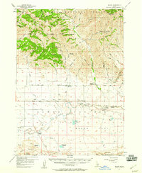
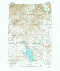
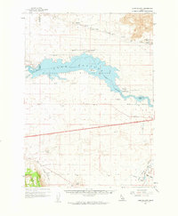
Showing maps 1-25 of 101
Top cities of Blaine County
- Hailey historical maps
- Ketchum historical maps
- Bellevue historical maps
- Sun Valley historical maps
- Carey historical maps
Frequently asked questions
- What are the different types of historical maps available for Blaine County?
- What is the oldest map of Blaine County?
- Where can I purchase historical maps of Blaine County for my home or office?
- Where can I download high-res historical maps of Blaine County?
- Are there historical topographic maps available for Blaine County?
- Is there historical aerial imagery available for Blaine County?
- Where are historical maps of Blaine County sourced from?