1960s Maps of Blaine County, Idaho
Explore 22 historic maps of Blaine County from the 1960s. These maps offer a rare glimpse into what life looked like during the 1960s — showing old roads, neighborhoods, homes, and landmarks that have changed or disappeared over time.
Whether you're researching your family's past, planning a metal detecting trip, or studying how Blaine County's landscape evolved across the 1960s, these high-resolution maps are a powerful tool for exploring the history of this region.
- Focus on a specific era: All maps on this page are from the 1960s, giving you a focused view of this time period.
- See what’s changed: Compare century-old streets, trails, and buildings to today's modern landscape using overlays and satellite layers.
- Research with precision: Use these maps for genealogy, historical research, land use analysis, or educational projects.
- View, download, or print: Maps are fully viewable online in high resolution, and can be downloaded or printed for your own records.
Start exploring Blaine County's history through authentic maps from the 1960s. This is your window into the past.
Blaine County, ID maps
(22)- 1960 Map of Muldoon Canyon, 1961 Print
 1960 Muldoon Canyon1961 Print · USGSThe Pioneer Mountains during the early sixties were a landscape defined by high-altitude mining and national forest management. Trace the legacy of extraction at the Muldoon site, the Idaho Muldoon Mine, and the Eagle Bird Mine.3 unique versions available
 - 1960 Map of Grouse, 1961 Print
 1960 Grouse1961 Print · USGSAntelope Valley in the early 1960s was a landscape of remote mountain ranches and fading mining camps. Researchers can trace the heritage of vanished settlements at Martin (Site) or locate family landmarks like the Brockie Ranch and Antelope Cem.2 unique versions available
 - 1960 Map of Copper Basin, 1962 Print
 1960 Copper Basin1962 Print · USGSCuster County ranching and mining high country is captured here during the early sixties. Genealogists and local historians can locate the Barton Cem, the Mackay Fish Hatchery, and remote outposts like the Corral Creek Cow Camp.2 unique versions available
 - 1962 Map of Hailey
 1962 Hailey1962 Print · USGSCentral Idaho in the early sixties showcases a landscape of high-altitude ranching and mining at the foot of the Sawtooth Mountains. Genealogists and historians can trace the rail-and-river economy through the Union Pacific Railroad corridor and explore old mining sites like the Triumph Mine or Silver Star Queens Mine.
 - 1963 Map of Alturas Lake, 1965 Print
 1963 Alturas Lake1965 Print · USGSThe Sawtooth Valley in the mid-1960s was a landscape defined by high-elevation lakes and the remnants of old mining camps. Researchers can locate the historic Sawtooth City (Site), trace the Sawtooth Cem, and see early recreation at Smiley Creek Lodge.3 unique versions available
 - 1964 Map of Frenchman Creek, 1965 Print
 1964 Frenchman Creek1965 Print · USGSThe Sawtooth Range in the mid-1960s reveals a high-country landscape still bearing the deep imprints of its mining heritage. You can trace the remnants of local industry at Vienna, the Vienna Mine, and nearby Ruins along the headwaters of the Salmon River.3 unique versions available
 - 1964 Map of Snowyside Peak, 1966 Print
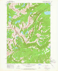 1964 Snowyside Peak1966 Print · USGSThe high Sawtooth summits of the mid-1960s reveal a landscape of glacial lakes and county boundaries at the headwaters of the Payette River. Trace the early access routes to Alturas Lake, the remote prospect at Eureka Gulch, and the Alturas Inlet Campground.4 unique versions available
 - 1964 Map of Marshall Peak, 1966 Print
 1964 Marshall Peak1966 Print · USGSThe Idaho backcountry in the mid-1960s was a landscape of high alpine peaks and isolated mining claims. Genealogists and historians can locate remote operations like the Silver King Mine and Pilgrim Mine or trace trails through the Ross Fork Basin.2 unique versions available
 - 1967 Map of Meridian Peak, 1971 Print
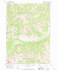 1967 Meridian Peak1971 Print · USGSCuster County was a land of high-altitude pack trails and forest boundaries during the late 1960s. Genealogists and historians can trace the remote Prospect site and early navigation routes like the Jeep Trail near Meridian Peak.2 unique versions available
 - 1967 Map of Rock Roll Canyon, 1971 Print
 1967 Rock Roll Canyon1971 Print · USGSThe high peaks of the Boulder Mountains are captured here during the late sixties, where the Sawtooth National Forest and Challis National Forest intersect. Genealogists and researchers can trace high-altitude pack trails leading to Trail Creek Summit or locate early wilderness landmarks like Park Creek Campground and Lake Creek Lakes.2 unique versions available
 - 1967 Map of Baugh Creek SW, 1971 Print
 1967 Baugh Creek SW1971 Print · USGSBlaine County during the late sixties remains a high-mountain wilderness where life centered on the deep canyons of the Sawtooth National Forest. Collectors and hikers can trace old access routes like the Jeep Trail to reach unnamed Mines or find the remote Cabin near the headwaters of Cove Creek.
 - 1967 Map of Mahoney Butte, 1971 Print
 1967 Mahoney Butte1971 Print · USGSThe Sawtooth National Forest in the late sixties was a hub for mining and mountain recreation. Researchers can trace the legacy of resource extraction at the Democrat Mine and Red Cloud Mine, or locate historic sites like Clarendon Hot Springs.3 unique versions available
 - 1967 Map of Baugh Creek, 1971 Print
 1967 Baugh Creek1971 Print · USGSBlaine County's high country is captured here during the late sixties, showing a wilderness crisscrossed by early trails. Researchers can trace historic access routes like the Pack Trail and Jeep Trail while locating a remote Mine near Kate Creek.2 unique versions available
 - 1967 Map of Sun Valley, 1971 Print
 1967 Sun Valley1971 Print · USGSMid-century development and mountain mining collide near Sun Valley and Ketchum during the late sixties. Trace the Union Pacific line and resort growth alongside long-standing mineral operations like the Triumph Mine and North Star Mine.3 unique versions available
 - 1967 Map of Grays Peak, 1971 Print
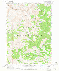 1967 Grays Peak1971 Print · USGSThe high peaks and mining prospects of the Pioneer Mountains define this late 1960s terrain along the Sawtooth National Forest boundary. Trace the wilderness routes and prospecting history of the Sunshine Mine, Mascot Mine, and the waters of Arrowhead Lake.3 unique versions available
 - 1967 Map of Hailey, 1971 Print
 1967 Hailey1971 Print · USGSHailey and the Wood River Valley were centers of aviation and mining in the late sixties. Genealogists and historians can trace the Union Pacific corridor through Gimlet or locate the city Cem and Friedman Memorial Airport.2 unique versions available
 - 1967 Map of Hyndman Peak, 1971 Print
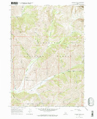 1967 Hyndman Peak1971 Print · USGSThe high alpine country of Blaine County comes to life in the late 1960s, showing the intersection of mining history and backcountry recreation. Trace the routes of the Pack Trail, find the remote Pioneer Cabin, and locate the Lucky G Mine.2 unique versions available
 - 1967 Map of Phi Kappa Mtn, 1971 Print
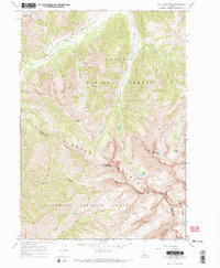 1967 Phi Kappa Mtn1971 Print · USGSThe Pioneer Mountains at the Custer and Blaine county line are shown here in the late sixties, an era of backcountry mining and high-elevation forestry. Researchers can trace historic Phi Kappa Mines, remote pack trails, and landmarks like The Devils Bedstead.2 unique versions available
 - 1967 Map of Standhope Peak, 1971 Print
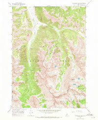 1967 Standhope Peak1971 Print · USGSThe high Pioneer Mountains on the Custer and Blaine county line are captured here in the late 1960s. You can trace the rugged network of pack trails leading to high-country landmarks like the Wildhorse Mines and Standhope Peak.2 unique versions available
 - 1967 Map of Griffin Butte, 1971 Print
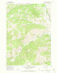 1967 Griffin Butte1971 Print · USGSKetchum and the surrounding Sawtooth National Forest are captured here in the late sixties as the region transitioned toward a recreation-based economy. Researchers can locate thermal sites like Guyer Hot Springs, early ski infrastructure on Bald Mountain, and mining remnants at the Tailings Pond.2 unique versions available
 - 1967 Map of Amber Lakes, 1971 Print
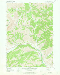 1967 Amber Lakes1971 Print · USGSBlaine County's high country is captured here in the late sixties, showcasing the intersection of river-valley recreation and high-elevation wilderness. Trace the early routes of Pack Trails into Boulder Basin or locate old campsites like Camp Manapu.2 unique versions available
 - 1967 Map of Ryan Peak, 1971 Print
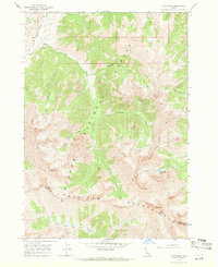 1967 Ryan Peak1971 Print · USGSHigh in the Idaho wilderness during the late sixties, this survey captures the rugged divide between the Salmon and Big Lost River watersheds. Genealogists and hikers can trace remote landmarks like the Bowery Guard Sta, historic Mines, and the high-altitude North Fork Lake.2 unique versions available
End of results
Showing maps 1-22 of 22
Top cities of Blaine County
- Hailey historical maps
- Ketchum historical maps
- Bellevue historical maps
- Sun Valley historical maps
- Carey historical maps
Frequently asked questions
- What are the different types of historical maps available for Blaine County?
- What is the oldest map of Blaine County?
- Where can I purchase historical maps of Blaine County for my home or office?
- Where can I download high-res historical maps of Blaine County?
- Are there historical topographic maps available for Blaine County?
- Is there historical aerial imagery available for Blaine County?
- Where are historical maps of Blaine County sourced from?