2000s (21st Century) Maps of Blaine County, Idaho
Explore 395 historic maps of Blaine County from the 2000s (21st Century). These maps offer a rare glimpse into what life looked like during the 2000s — showing old roads, neighborhoods, homes, and landmarks that have changed or disappeared over time.
Whether you're researching your family's past, planning a metal detecting trip, or studying how Blaine County's landscape evolved across the 2000s, these high-resolution maps are a powerful tool for exploring the history of this region.
- Focus on a specific era: All maps on this page are from the 2000s, giving you a focused view of this time period.
- See what’s changed: Compare century-old streets, trails, and buildings to today's modern landscape using overlays and satellite layers.
- Research with precision: Use these maps for genealogy, historical research, land use analysis, or educational projects.
- View, download, or print: Maps are fully viewable online in high resolution, and can be downloaded or printed for your own records.
Start exploring Blaine County's history through authentic maps from the 2000s. This is your window into the past.
Blaine County, ID maps
(395)- 2010 Map of Split Top, 2010 Print
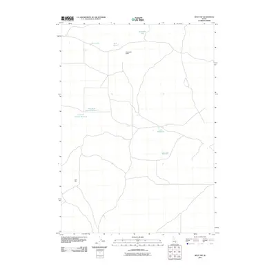 2010 Split Top2010 Print · USGSBingham County, Idaho, is shown at the start of the 2010s as a landscape of isolated buttes and essential water catchments. Researchers can trace remote routes leading to Split Top, Packsaddle Butte, and various reservoirs like Clear Lake Reservoir.
 - 2010 Map of Gifford Spring, 2010 Print
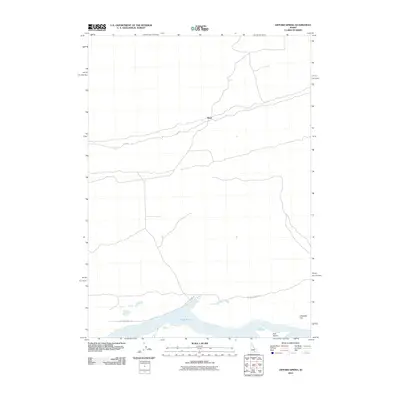 2010 Gifford Spring2010 Print · USGSIn this corner of Idaho during the early twenty-first century, the Snake River’s wide reach at Lake Walcott meets the high desert. Researchers can trace the sparse network of routes like Wapi Rd and locate landmarks such as Bonanza Bar and Wapi.
 - 2010 Map of Tapper Lake, 2010 Print
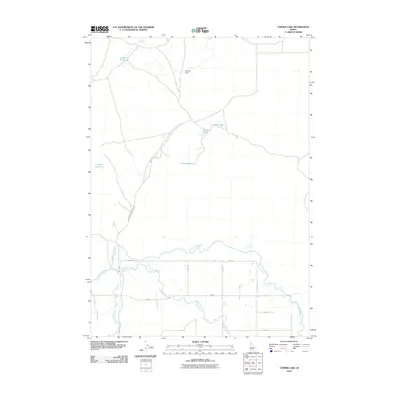 2010 Tapper Lake2010 Print · USGSBlaine County was characterized by a sophisticated network of irrigation canals and reservoirs by the early 2000s. Genealogists and researchers can trace the management of water and land along the Richfield Canal and landmarks like Tapper Lake and Sonner Dam.
 - 2010 Map of Lake Walcott West, 2010 Print
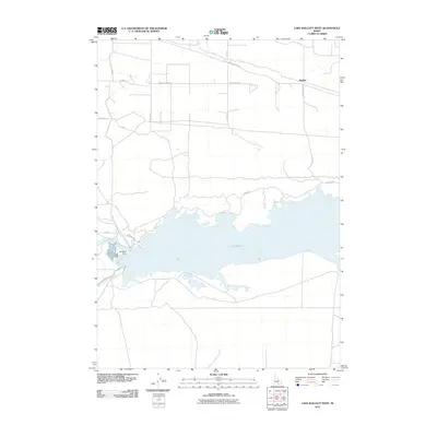 2010 Lake Walcott West2010 Print · USGSThe Snake River Plain is defined by massive irrigation works in the early twenty-first century. Researchers can trace the vital water systems of the Minidoka Dam, the Main North Side Canal, and the sprawling reach of Lake Walcott across this landscape.
 - 2010 Map of Magic Reservoir West, 2010 Print
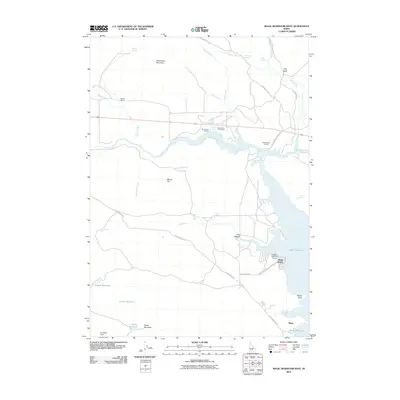 2010 Magic Reservoir West2010 Print · USGSThe high desert landscape north of the Snake River Plain comes alive in this 2010 Idaho survey. You can trace the ranching and recreation history of the region through landmarks like Rowley Ranch, the Magic Resort, and Moonstone Landing.
 - 2010 Map of Lake Walcott SE, 2010 Print
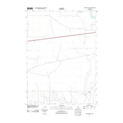 2010 Lake Walcott SE2010 Print · USGSCassia County at the dawn of the twenty-first century reveals a landscape where pioneer history and modern ranching meet. Genealogists and historians can trace the path of the Emigrant Trl as it passes the Lazy F C Ranch and nears the banks of the Raft River.
 - 2010 Map of Carey, 2010 Print
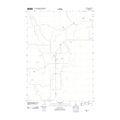 2010 Carey2010 Print · USGSCarey and its surrounding ranch lands are captured here in the early twenty-first century, showing a community shaped by the Little Wood River. Researchers can locate family landmarks like the Hot Springs Ranch, Carey Cemetery, and the Blaine County Fairgrounds.
 - 2010 Map of Pagari Well, 2010 Print
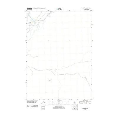 2010 Pagari Well2010 Print · USGSSouthern Idaho ranching country is documented here in the early 2000s as the landscape transitions from lush riparian zones to arid desert. Researchers can trace the paths of Silver Creek and Preacher Bridges-Sand Butte Rd near Monument Butte.
 - 2010 Map of Tikura, 2010 Print
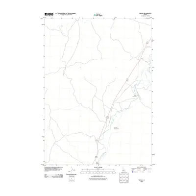 2010 Tikura2010 Print · USGSBlaine County's high desert watercourses and rural crossings are captured here in the early 21st century. Researchers can trace historic transit routes like the Old Hwy and locate local landmarks such as Tikura, Halfway House, and the Pagari Bridge.
 - 2010 Map of Bear Park West, 2010 Print
 2010 Bear Park West2010 Print · USGSBlaine County in the early twenty-first century reveals a landscape shaped by volcanic history and the open Snake River Plain. Trace the physical relief and terrain features of the Idaho high desert around Coyote Butte.
 - 2010 Map of Seamans Creek, 2010 Print
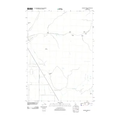 2010 Seamans Creek2010 Print · USGSThe high-desert ranching country of southern Idaho is documented here during the early 21st century. Genealogists and local historians can trace irrigation developments along Canal Number 45 and locate family landmarks such as the Bellevue Cemetery or the site of Balaam.
 - 2010 Map of Bellevue, 2010 Print
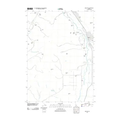 2010 Bellevue2010 Print · USGSThe Wood River Valley in the early twenty-first century reveals a landscape defined by its mining history and river-fed agriculture. Genealogists and historians can trace the legacy of local industry through the Minnie Moore Mine, Bellevue Cemetery, and the settlement of Broadford.
 - 2010 Map of Gannett, 2010 Print
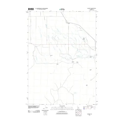 2010 Gannett2010 Print · USGSThe settlement of Gannett and its surrounding irrigation network appear here in the early twenty-first century. Researchers can trace historical water rights and land use via the Albrethsen Dam, Hayspur Fish Hatchery, and numerous named springs.
 - 2010 Map of Lake Hills, 2010 Print
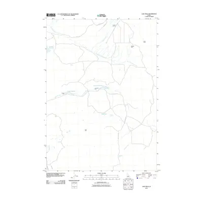 2010 Lake Hills2010 Print · USGSBlaine County was characterized by high-desert ranching and water management during the early twenty-first century. Researchers can trace irrigation history through Campbell Reservoir, family-named landmarks like Albrethsen Dam, and the remote Flat Top Airstrip.
 - 2010 Map of Macon, 2010 Print
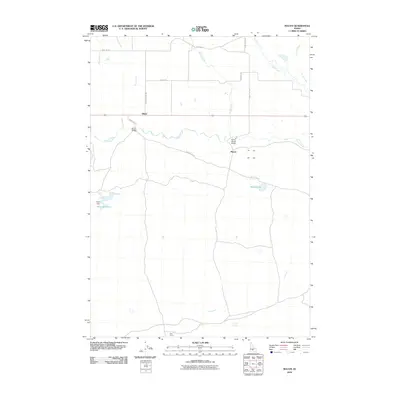 2010 Macon2010 Print · USGSBlaine County ranching country is captured here in the early twenty-first century, showcasing a landscape of high-desert creeks and rural crossings. Genealogists and historians can trace local landmarks like Macon, the Blaine Bridge, and the Macon Sheep Bridge.
 - 2010 Map of Brigham Point, 2010 Print
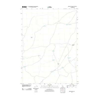 2010 Brigham Point2010 Print · USGSBlaine County's high-desert terrain is documented here in the decade before 2010, showing the essential water and road networks of the Idaho interior. Researchers can trace the path of the Minidoka to Arco Rd past landmarks like Cream Can Junction and Whiskey Butte.
 - 2010 Map of Little Wood River Reservoir, 2010 Print
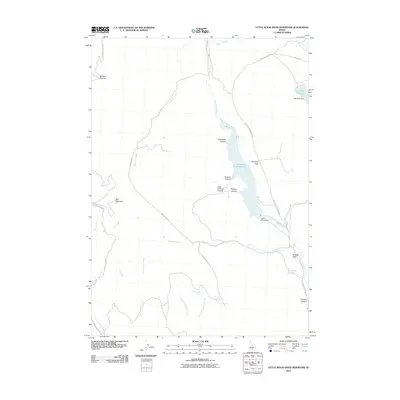 2010 Little Wood River Reservoir2010 Print · USGSBlaine County's high-country water systems are meticulously documented here in the years following the millennium. Researchers can trace the drainage from Muldoon Summit down to managed sites like Little Wood Dam and Last Chance Springs.
 - 2010 Map of Fissure Butte, 2010 Print
 2010 Fissure Butte2010 Print · USGSHigh-desert geological features dominate this Blaine County landscape in the early twenty-first century. Modern researchers can locate distinct landmarks like Bridge of the Moon, Vermilion Chasm, and the waters of Hawk Reservoir.
 - 2010 Map of Mosby Well, 2010 Print
 2010 Mosby Well2010 Print · USGSBingham County, Idaho, is documented here in the early twenty-first century as a land of volcanic features and isolated water sources. Researchers can map the rural routes of the Snake River Plain, from Bear Trap Lava Tube Rd to the shores of Rock Lake.
 - 2010 Map of Shoshone Ice Cave, 2010 Print
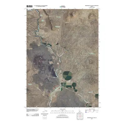 2010 Shoshone Ice Cave2010 Print · USGSIdaho's high desert landscape comes into focus during the early twenty-first century, showing the critical intersection of water management and geography. Trace the path of the Big Wood River alongside the settlement of Burmah and the Richfield Main Canal.
 - 2010 Map of Bear Trap Cave, 2010 Print
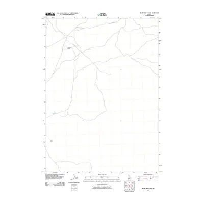 2010 Bear Trap Cave2010 Print · USGSBlaine County's volcanic high desert is captured here in the early twenty-first century, showing a remote landscape of lava tubes and landing strips. Researchers can trace the path of the Bear Trap Lava Tube Rd or locate remote landmarks like Lulu Reservoir and Split Butte.
 - 2010 Map of Wagon Butte, 2010 Print
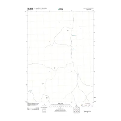 2010 Wagon Butte2010 Print · USGSThe high desert of Blaine County is captured here in the early twenty-first century, showing a landscape defined by volcanic formations and seasonal basins. Modern explorers can trace remote desert routes like Kamimah Rd to landmarks such as Wagon Butte and Wildhorse Lake.
 - 2010 Map of Bear Park East, 2010 Print
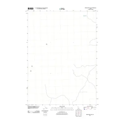 2010 Bear Park East2010 Print · USGSSouthern Idaho's high desert landscape is captured here in the early twenty-first century. Researchers can locate remote water sources like Deadhorse Reservoir and trace access routes between landmarks such as New Butte and Park Butte.
 - 2010 Map of North Laidlaw Butte, 2010 Print
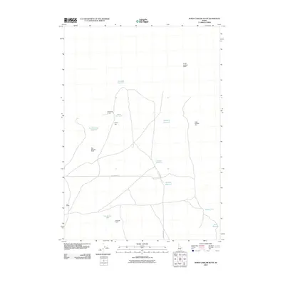 2010 North Laidlaw Butte2010 Print · USGSBlaine County's high-desert rangeland is captured here in the early 21st century, showing the critical intersection of volcanic geology and water management. Researchers can trace land use through Hollow Top Airport and isolated catchments like Bullshot Reservoir and Spencer Lake.
 - 2010 Map of Hailey, 2010 Print
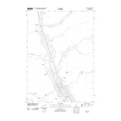 2010 Hailey2010 Print · USGSThe Wood River Valley was undergoing significant mountain-town growth during this era, centered on the historic streets of Hailey. Researchers can trace the development of outlying areas like Barite or follow the irrigation systems of Comstock Ditch and Quigley Pond.
Showing maps 1-25 of 395
Top cities of Blaine County
- Hailey historical maps
- Ketchum historical maps
- Bellevue historical maps
- Sun Valley historical maps
- Carey historical maps
Frequently asked questions
- What are the different types of historical maps available for Blaine County?
- What is the oldest map of Blaine County?
- Where can I purchase historical maps of Blaine County for my home or office?
- Where can I download high-res historical maps of Blaine County?
- Are there historical topographic maps available for Blaine County?
- Is there historical aerial imagery available for Blaine County?
- Where are historical maps of Blaine County sourced from?