1970s Maps of Custer County, Idaho
Explore 16 historic maps of Custer County from the 1970s. These maps offer a rare glimpse into what life looked like during the 1970s — showing old roads, neighborhoods, homes, and landmarks that have changed or disappeared over time.
Whether you're researching your family's past, planning a metal detecting trip, or studying how Custer County's landscape evolved across the 1970s, these high-resolution maps are a powerful tool for exploring the history of this region.
- Focus on a specific era: All maps on this page are from the 1970s, giving you a focused view of this time period.
- See what’s changed: Compare century-old streets, trails, and buildings to today's modern landscape using overlays and satellite layers.
- Research with precision: Use these maps for genealogy, historical research, land use analysis, or educational projects.
- View, download, or print: Maps are fully viewable online in high resolution, and can be downloaded or printed for your own records.
Start exploring Custer County's history through authentic maps from the 1970s. This is your window into the past.
Custer County, ID maps
(16)- 1970 Map of Horton Peak, 1973 Print
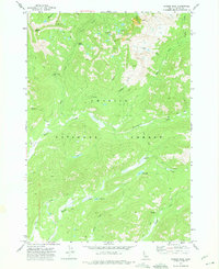
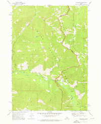
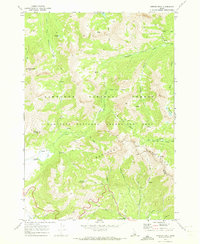 1970 Horton Peak1973 Print · USGSThe Sawtooth and Boulder Mountains of central Idaho are shown here during the early seventies as a high-altitude wilderness of forest service outposts and pack routes. Researchers can locate the Horton Peak Lookout, trace the Pack Trails around Champion Lakes, and find the remote Pole Creek Guard Station.3 unique versions available
 - 1970 Map of Galena Peak, 1973 Print
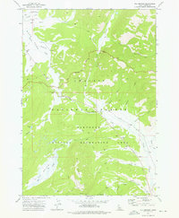
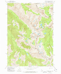
 1970 Galena Peak1973 Print · USGSThe Boulder Mountains of central Idaho are shown here in the early 1970s, tracing the headwaters of the Salmon River. Researchers can locate high-altitude Mines near Galena Peak or follow the Pack Trails along Germania Creek and Jack Creek.2 unique versions available
 - 1970 Map of Easley Hot Springs, 1973 Print
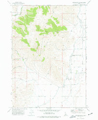
 1970 Easley Hot Springs1973 Print · USGSThe high basins and river valleys of Blaine and Custer counties are captured here in the early seventies, just as modern recreation was taking hold. Discover old outposts and seasonal camps like Russian John Guard Station, the Boulder (Site), and Easley Hot Springs.3 unique versions available
 - 1972 Map of Bull Trout Point, 1975 Print
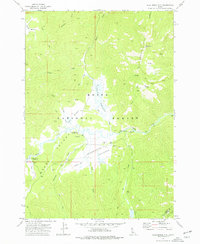
 1972 Bull Trout Point1975 Print · USGSThe high divide of the Sawtooth range in the early 1970s shows a landscape of mountain trails and alpine lakes. Researchers can trace historic access routes to prospects, remote campgrounds, and the headwaters of Dead Man Creek and Bull Trout Lake.2 unique versions available
 - 1972 Map of Langer Peak, 1975 Print
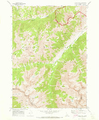
 1972 Langer Peak1975 Print · USGSCuster County in the early seventies remained a remote wilderness of forest and summit. Researchers can trace the rugged geography of the Challis National Forest through landmarks like the Langer Monument, Vanity Lakes, and the secluded Elk Lake.2 unique versions available
 - 1972 Map of Antelope Flat, 1975 Print
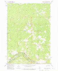
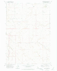 1972 Antelope Flat1975 Print · USGSThe high desert along the Idaho-Blaine Co. line was a remote rangeland during the early seventies. Geologists and desert explorers can trace the fissured path of the Great Rift and locate isolated water sources like Antelope Lake and the Road Lake Waterhole.
 - 1972 Map of Banner Summit, 1975 Print
 1972 Banner Summit1975 Print · USGSThe Sawtooth mountains of Idaho were a wilderness of high-altitude lakes and mining claims in the early seventies. Trace backcountry routes like the Thatcher Trail to find remote landmarks such as the Mines on Copper Mountain or the waters of Bull Trout Lake.
 - 1972 Map of Stanley Lake, 1976 Print
 1972 Stanley Lake1976 Print · USGSThe Sawtooth Wilderness in the early 1970s is a high-altitude landscape of glaciers and granite. Trace old mining remnants at the Greenback Mine or follow pack trails past Sawtooth Lake and Lady Face Falls.
 - 1972 Map of Grandjean, 1976 Print
 1972 Grandjean1976 Print · USGSThe Sawtooth mountains of the early seventies come alive in this survey of the river valleys and high alpine lakes near the Boise and Challis border. Trace the primitive infrastructure of the day, from the Forest Service Station at Grandjean to Sacajawea Hot Springs and the network of Pack Trails.3 unique versions available
 - 1972 Map of Elk Meadow, 1976 Print
 1972 Elk Meadow1976 Print · USGSThe Sawtooth mountains of Custer County were a hub of backcountry activity in the early seventies, from forestry to mining. Trace the historical access routes of the era, including a high-mountain landing strip, various prospects, and the Cap Horn Forest Service Station.2 unique versions available
 - 1972 Map of Appendicitis Hill, 1977 Print
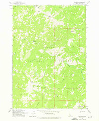
 1972 Appendicitis Hill1977 Print · USGSThe high desert of Butte County during the early 1970s shows a landscape of mountain canyons meeting the irrigated valley floor. Trace local genealogy and ranching history through the Lost River Cem, the Corral, and Sorensen Spring along the river.
 - 1972 Map of Blue Bunch Mtn, 1977 Print
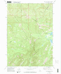
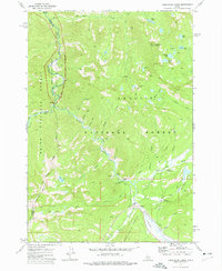
 1972 Blue Bunch Mtn1977 Print · USGSIn the Idaho backcountry during the early seventies, this area centered on the high meadows and ridges of the Boise National Forest. Researchers can trace the layout of the Bruce Meadows Landing Strip and remote camps like Fir Creek Campground.2 unique versions available
 - 1972 Map of Cape Horn Lakes, 1977 Print
 1972 Cape Horn Lakes1977 Print · USGSThe high Idaho backcountry comes into focus in the early 1970s at the meeting point of the Challis and Boise National Forests. Researchers can trace remote alpine routes like the Pack Trail to Ruffneck Peak and find seasonal landmarks like Bradley Memorial Camp.3 unique versions available
 - 1972 Map of Warbonnet Peak, 1977 Print
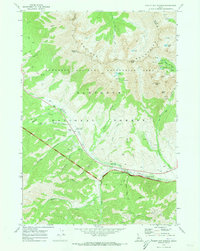
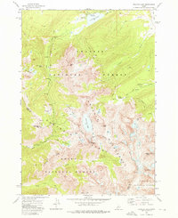
 1972 Warbonnet Peak1977 Print · USGSThe high peaks of the Idaho backcountry are captured in the early 1970s, showcasing the rugged divide between Boise and Custer counties. Trace remote trails to Baron Lake, Warbonnet Peak, and the headwaters of the Payette River.3 unique versions available
 - 1973 Map of Big Baldy, 1975 Print
 1973 Big Baldy1975 Print · USGSThe high country of Valley County in the early seventies remains a wilderness of peaks and pack routes. Trace the path of the Indian Trail past Kwiskwis Hot Spring or locate the fire lookout atop Lookout Big Baldy.
 - 1973 Map of Pungo Mountain, 1975 Print
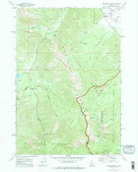
 1973 Pungo Mountain1975 Print · USGSThe Salmon River backcountry of central Idaho is captured here in the early seventies, spanning the border of Valley and Custer Counties. Researchers can trace the layout of isolated forest outposts like the Indian Creek Guard Station and the Indian Creek Landing Field near Aguinaldo Flat.
End of results
Showing maps 1-16 of 16
Top cities of Custer County
- Challis historical maps
- Mackay historical maps
- Stanley historical maps
- Clayton historical maps
- Tunnel Rock historical maps
Frequently asked questions
- What are the different types of historical maps available for Custer County?
- What is the oldest map of Custer County?
- Where can I purchase historical maps of Custer County for my home or office?
- Where can I download high-res historical maps of Custer County?
- Are there historical topographic maps available for Custer County?
- Is there historical aerial imagery available for Custer County?
- Where are historical maps of Custer County sourced from?