2020s Maps of Custer County, Idaho
Explore 260 historic maps of Custer County from the 2020s. These maps offer a rare glimpse into what life looked like during the 2020s — showing old roads, neighborhoods, homes, and landmarks that have changed or disappeared over time.
Whether you're researching your family's past, planning a metal detecting trip, or studying how Custer County's landscape evolved across the 2020s, these high-resolution maps are a powerful tool for exploring the history of this region.
- Focus on a specific era: All maps on this page are from the 2020s, giving you a focused view of this time period.
- See what’s changed: Compare century-old streets, trails, and buildings to today's modern landscape using overlays and satellite layers.
- Research with precision: Use these maps for genealogy, historical research, land use analysis, or educational projects.
- View, download, or print: Maps are fully viewable online in high resolution, and can be downloaded or printed for your own records.
Start exploring Custer County's history through authentic maps from the 2020s. This is your window into the past.
Custer County, ID maps
(260)- 2020 Map of Miller Peak, 2020 Print
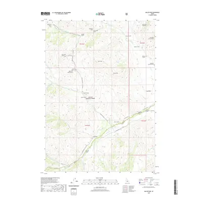 2020 Miller Peak2020 Print · USGSThe high canyons and mountain peaks of central Idaho are shown here in modern detail, covering the border of Custer and Butte Counties. Researchers can trace historic access routes like Copper Basin Road and locate remote landmarks such as Big Spring, Death Canyon, and Miller Peak.
 - 2020 Map of Meridian Peak, 2020 Print
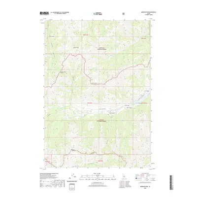 2020 Meridian Peak2020 Print · USGSThe high Idaho backcountry at the Custer and Blaine county line is documented here in the early twenty-first century. Outdoorsmen and geologists can trace the rugged drainages of the N Fork Big Lost River through Miller Canyon and up to Hunter Creek Summit.
 - 2020 Map of Trail Creek, 2020 Print
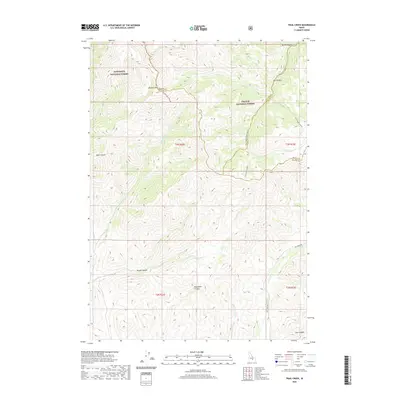 2020 Trail Creek2020 Print · USGSThe high backcountry of Blaine and Custer counties comes into focus in this 2020 record of the Idaho wilderness. Researchers can trace the rugged topography of Pioneer Mtn and remote routes through Rough Canyon or along Fish Creek Rd.
 - 2020 Map of Mackay Reservoir, 2020 Print
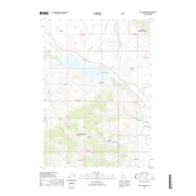 2020 Mackay Reservoir2020 Print · USGSMackay and the Big Lost River Valley are captured here in the contemporary era as they interface with the high peaks of Custer County. Genealogists and historians can locate Battleground Cem or trace the path of the Cossack Tunnel near Bullion Gulch.
 - 2020 Map of Porphyry Peak, 2020 Print
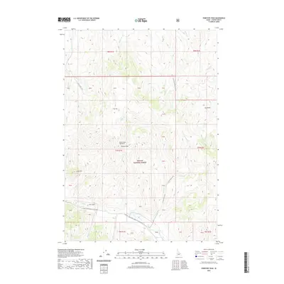 2020 Porphyry Peak2020 Print · USGSCuster County's high-country terrain is captured here within the White Knob Mountains during the early twenty-first century. Researchers can trace the drainage of the E Fork Big Lost River and find landmarks like Porphyry Peak and Castle Rock.
 - 2020 Map of Big Blind Canyon, 2020 Print
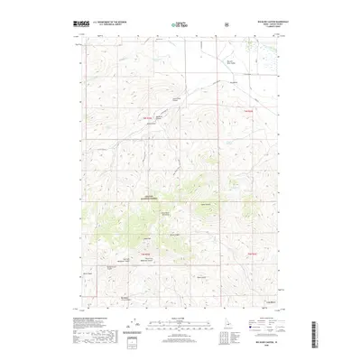 2020 Big Blind Canyon2020 Print · USGSCuster County's high-mountain terrain and agricultural valley systems are captured in this modern survey of the White Knob Mountains. Researchers can trace old irrigation works like Darlington Ditch, find the Houston Cem, and explore the canyon routes through Challis National Forest.
 - 2020 Map of Standhope Peak, 2020 Print
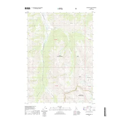 2020 Standhope Peak2020 Print · USGSHigh in the Pioneer Mountains during the early twenty-first century, this Idaho landscape spans the boundary between two national forests. Hikers and researchers can trace the routes of the Waterfall Trail and Highline path past alpine basins like Angel Lake and Standhope Peak.
 - 2020 Map of Smiley Mountain, 2020 Print
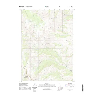 2020 Smiley Mountain2020 Print · USGSHigh in the Idaho backcountry during the early twenty-first century, this map details the intersection of two national forests and a vast network of alpine lakes. Outdoor historians and researchers can trace established routes like the Muldoon-Ironbog Trail through the high basins of Golden Lake and Iron Bog Lake.
 - 2020 Map of Big Black Dome, 2020 Print
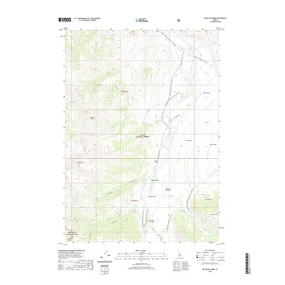 2020 Big Black Dome2020 Print · USGSHigh in the central Idaho ranges during the early twenty-first century, this area shows the intersection of two major national forests. Trace the alpine drainage patterns of Bellas Lakes and the E Fork Big Lost River or locate remote high-country sites like Big Black Dome and Star Hope Creek Camping #7.
 - 2020 Map of Appendicitis Hill, 2020 Print
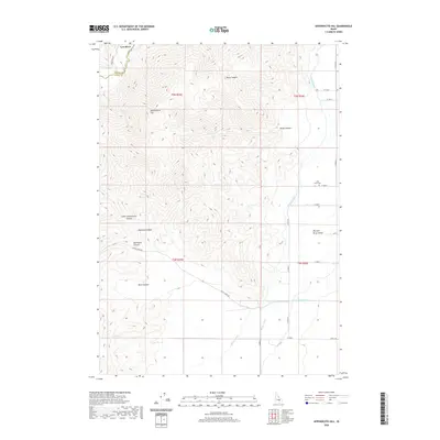 2020 Appendicitis Hill2020 Print · USGSThe high mountain slopes and valley floors of Idaho are documented here as they appeared in 2020. Researchers can locate the Lost River Cem and trace the complex irrigation networks of the Blaine Canal and Moore Canal.
 - 2020 Map of Mackay, 2020 Print
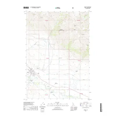 2020 Mackay2020 Print · USGSThe Big Lost River Valley in central Idaho is captured here in the modern era, showing the settlement of Mackay against the peaks of the Lost River Range. Trace family history through the Mount McCaleb Cem and the small community of Houston.
 - 2020 Map of Grays Peak, 2020 Print
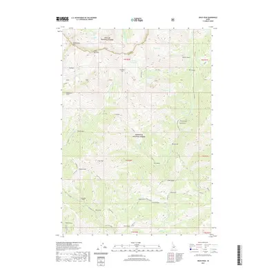 2020 Grays Peak2020 Print · USGSThe high peaks of the Blaine County backcountry are captured here in the contemporary era, spanning the boundary between the Sawtooth and Challis National Forests. Researchers can trace historical resource extraction at the Iron Mine or locate alpine landmarks like Grays Peak and Arrowhead Lake.
 - 2020 Map of Ryan Peak, 2020 Print
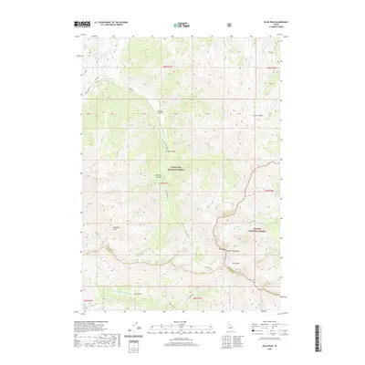 2020 Ryan Peak2020 Print · USGSThe high ridges of the Boulder Mountains are captured here in the early twenty-first century at the intersection of the Sawtooth and Challis National Forests. Researchers can trace the headwaters of major rivers and the rugged contours of Ryan Peak and Glassford Peak.
 - 2020 Map of Rock Roll Canyon, 2020 Print
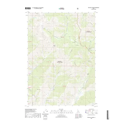 2020 Rock Roll Canyon2020 Print · USGSBlaine County's high country is captured here in the contemporary era, showing the intersection of the Sawtooth and Challis forests. You can trace primitive routes like Little Fall Creek Rd and the trek over Trail Creek Summit.
 - 2020 Map of Easley Hot Springs, 2020 Print
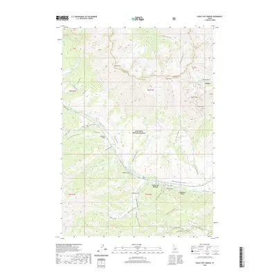 2020 Easley Hot Springs2020 Print · USGSThe Sawtooth mountains of Blaine County are captured here in the contemporary era, showing a landscape defined by winter recreation and high peaks. Researchers can trace the paths of the Harriman Trail or locate remote sites like Boulder Basin and Easley Hot Springs.
 - 2020 Map of Bayhorse Lake, 2020 Print
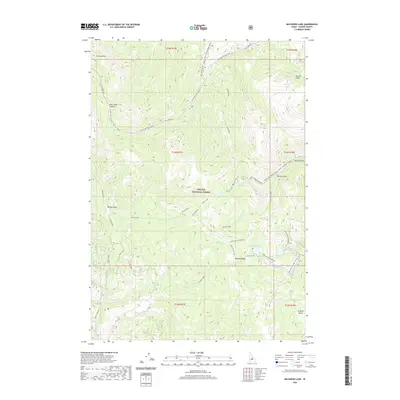 2020 Bayhorse Lake2020 Print · USGSCuster County's high-country wilderness is documented here in the recent era, showing the remote peaks and alpine lakes of the Challis National Forest. Researchers can trace old seasonal routes like Custer Trail Road and locate landmarks such as Bayhorse Lake and Buffalo Ridge.
 - 2020 Map of Grouse Peak, 2020 Print
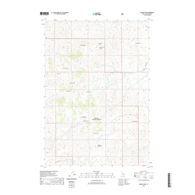 2020 Grouse Peak2020 Print · USGSCuster County highlands are captured here in the recent decade, showing the transition between the Lost River Range and the Pahsimeroi Mountains. Researchers can trace old forest access routes like Custer Rd to find remote landmarks like Grouse Peak and John Short Springs.
 - 2020 Map of Pinyon Peak, 2020 Print
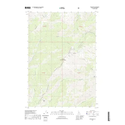 2020 Pinyon Peak2020 Print · USGSCuster County's high-country terrain within the Challis National Forest is documented here in the early twenty-first century. Researchers can trace seasonal routes like Loon Creek Road and locate remote landmarks such as Kidney Lake and Horse Ladder.
 - 2020 Map of Clayton, 2020 Print
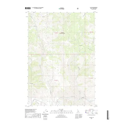 2020 Clayton2020 Print · USGSClayton sits at the intersection of mountain creek canyons and the river valley during the early twenty-first century. Researchers can trace the legacy of resource extraction and transit through landmarks like the Sullivan mine, Hot Springs, and the French Creek Trail.
 - 2020 Map of Gooseberry Creek, 2020 Print
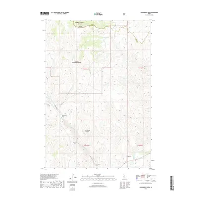 2020 Gooseberry Creek2020 Print · USGSCuster County's high mountain territory is captured here in the recent decade, showing the intersections of the Salmon and Challis National Forests. You can trace the rugged drainages of Boneyard Gulch and Mud Spring Gulch along the Morgan Cr corridor.
 - 2020 Map of Elevenmile Creek, 2020 Print
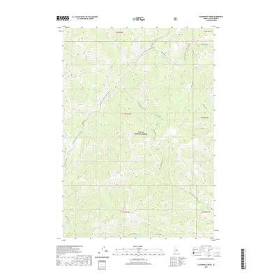 2020 Elevenmile Creek2020 Print · USGSCuster County in the early twenty-first century remains a landscape of high-country wilderness and historical transit routes. Follow the legacy of early travel along the Custer Trail or trace the numerical sequence of drainages from Sixmile Cr to Twelvemile Cr.
 - 2020 Map of Basin Butte, 2020 Print
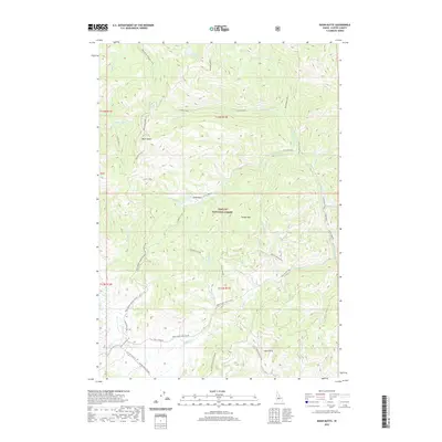 2020 Basin Butte2020 Print · USGSCuster County's high country is documented here in the early twenty-first century, showing the remote peaks and timbered basins of the Challis National Forest. Trace back-country routes like the Basin Butte Lookout or locate secluded landmarks such as Valley Cr Lake and Potato Mtn.
 - 2020 Map of Horse Basin, 2020 Print
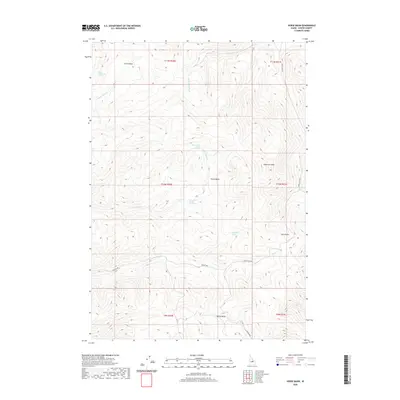 2020 Horse Basin2020 Print · USGSCuster County's high-elevation basins and peaks are documented here in the late twenty-teens. Trace the routes of Walker Way and Road Creek Rd as they navigate between Anderson Peak, Horse Basin, and Dry Gulch.
 - 2020 Map of Custer, 2020 Print
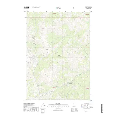 2020 Custer2020 Print · USGSHigh in the Challis National Forest, this Idaho backcountry is documented as it appeared in the modern era. Genealogists and researchers can trace the roads around Custer and locate named landmarks like Bald Mountain, Pinyon Lake, and Swift Gulch.
 - 2020 Map of Livingston Creek, 2020 Print
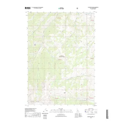 2020 Livingston Creek2020 Print · USGSCuster County’s high-country terrain is captured here in the contemporary era, showing a landscape shaped by wilderness and mining history. Trace the Livingston Mill-Castle Divide and look for alpine landmarks like Slate Creek Hot Spring, Railroad Ridge, and The Gunsight.
Showing maps 1-25 of 260
Top cities of Custer County
- Challis historical maps
- Mackay historical maps
- Stanley historical maps
- Clayton historical maps
- Tunnel Rock historical maps
Frequently asked questions
- What are the different types of historical maps available for Custer County?
- What is the oldest map of Custer County?
- Where can I purchase historical maps of Custer County for my home or office?
- Where can I download high-res historical maps of Custer County?
- Are there historical topographic maps available for Custer County?
- Is there historical aerial imagery available for Custer County?
- Where are historical maps of Custer County sourced from?