2000s (21st Century) Maps of Dayton, Idaho
Explore 21 historic maps of Dayton from the 2000s (21st Century). These maps offer a rare glimpse into what life looked like during the 2000s — showing old roads, neighborhoods, homes, and landmarks that have changed or disappeared over time.
Whether you're researching your family's past, planning a metal detecting trip, or studying how Dayton's landscape evolved across the 2000s, these high-resolution maps are a powerful tool for exploring the history of this region.
- Focus on a specific era: All maps on this page are from the 2000s, giving you a focused view of this time period.
- See what’s changed: Compare century-old streets, trails, and buildings to today's modern landscape using overlays and satellite layers.
- Research with precision: Use these maps for genealogy, historical research, land use analysis, or educational projects.
- View, download, or print: Maps are fully viewable online in high resolution, and can be downloaded or printed for your own records.
Start exploring Dayton's history through authentic maps from the 2000s. This is your window into the past.
Dayton, ID maps
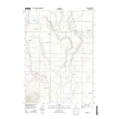
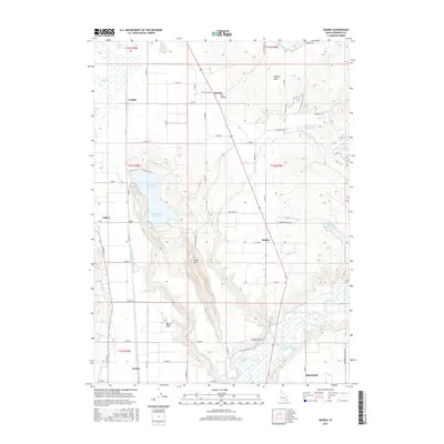
(21)- 2010 Map of Banida, 2010 Print
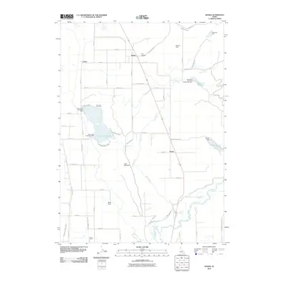 2010 Banida2010 Print · USGSCovers Dayton, including Preston, Clifton, and other nearby areas
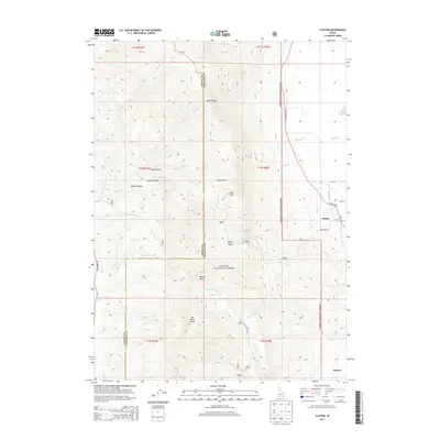
 - 2011 Map of Clifton, 2011 Print
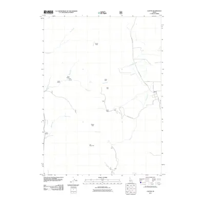 2011 Clifton2011 Print · USGSCovers Dayton, including Clifton, Franklin County, and other nearby areas
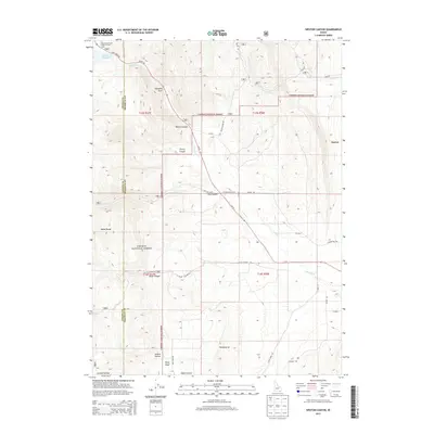
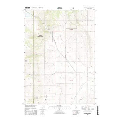
 - 2011 Map of Weston Canyon, 2011 Print
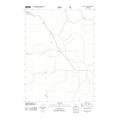 2011 Weston Canyon2011 Print · USGSCovers Dayton, including Franklin County, Oneida County, and other nearby areas
 - 2011 Map of Weston, 2011 Print
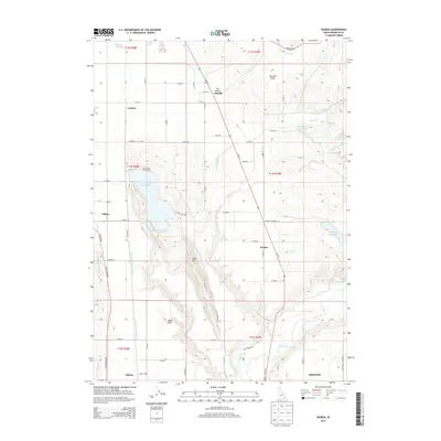
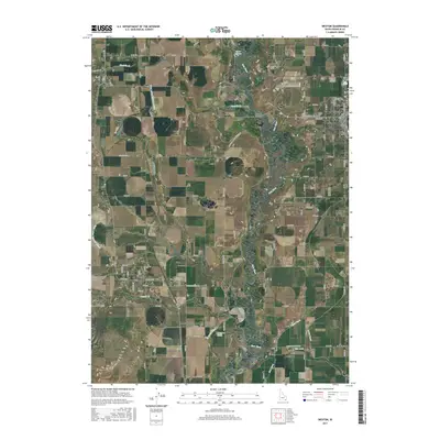
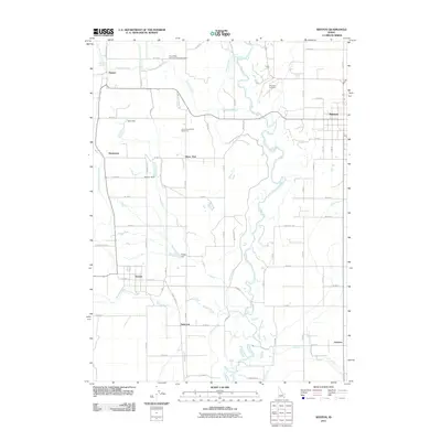 2011 Weston2011 Print · USGSCovers Dayton, including Preston, Weston, and other nearby areas
 - 2013 Map of Weston, 2013 Print
 2013 Weston2013 Print · USGSCovers Dayton, including Preston, Weston, and other nearby areas
 - 2013 Map of Banida, 2013 Print
 2013 Banida2013 Print · USGSCovers Dayton, including Preston, Clifton, and other nearby areas
 - 2013 Map of Weston Canyon, 2013 Print
 2013 Weston Canyon2013 Print · USGSCovers Dayton, including Franklin County, Oneida County, and other nearby areas
 - 2013 Map of Clifton, 2013 Print
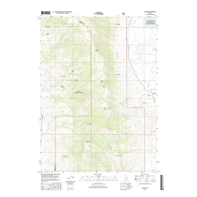
 2013 Clifton2013 Print · USGSCovers Dayton, including Clifton, Franklin County, and other nearby areas
 - 2017 Map of Weston Canyon, 2017 Print
 2017 Weston Canyon2017 Print · USGSCovers Dayton, including Franklin County, Oneida County, and other nearby areas
 - 2017 Map of Banida, 2017 Print
 2017 Banida2017 Print · USGSCovers Dayton, including Preston, Clifton, and other nearby areas
 - 2017 Map of Weston, 2017 Print
 2017 Weston2017 Print · USGSCovers Dayton, including Preston, Weston, and other nearby areas
 - 2017 Map of Clifton, 2017 Print
 2017 Clifton2017 Print · USGSCovers Dayton, including Clifton, Franklin County, and other nearby areas
 - 2020 Map of Banida, 2020 Print
 2020 Banida2020 Print · USGSCovers Dayton, including Preston, Clifton, and other nearby areas
 - 2020 Map of Clifton, 2020 Print
 2020 Clifton2020 Print · USGSCovers Dayton, including Clifton, Franklin County, and other nearby areas
 - 2020 Map of Weston, 2020 Print
 2020 Weston2020 Print · USGSCovers Dayton, including Preston, Weston, and other nearby areas
 - 2020 Map of Weston Canyon, 2020 Print
 2020 Weston Canyon2020 Print · USGSCovers Dayton, including Franklin County, Oneida County, and other nearby areas
 - 2023 Map of Weston, 2023 Print
 2023 Weston2023 Print · USGSCovers Dayton, including Preston, Weston, and other nearby areas
 - 2024 Map of Weston Canyon, 2024 Print
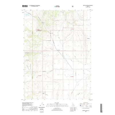
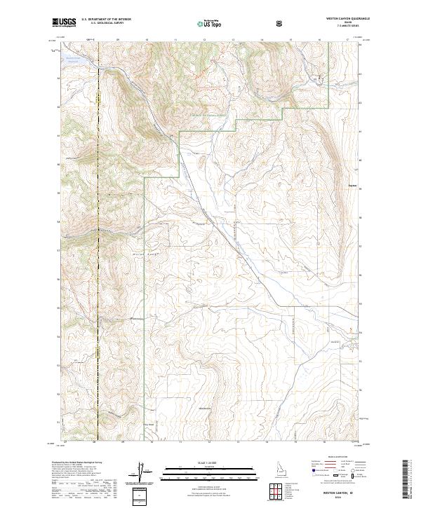 2024 Weston Canyon2024 Print · USGSThe northern Malad Range and the high-country canyons of Franklin County are shown here in detail during the 2020s. Researchers can trace the path of Weston Creek from the Weston Creek Reservoir past local landmarks like Dirty Head and the Washboards.
 - 2024 Map of Clifton, 2024 Print
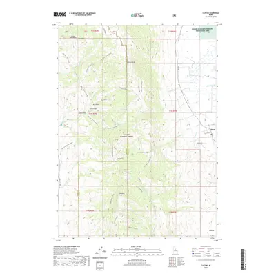
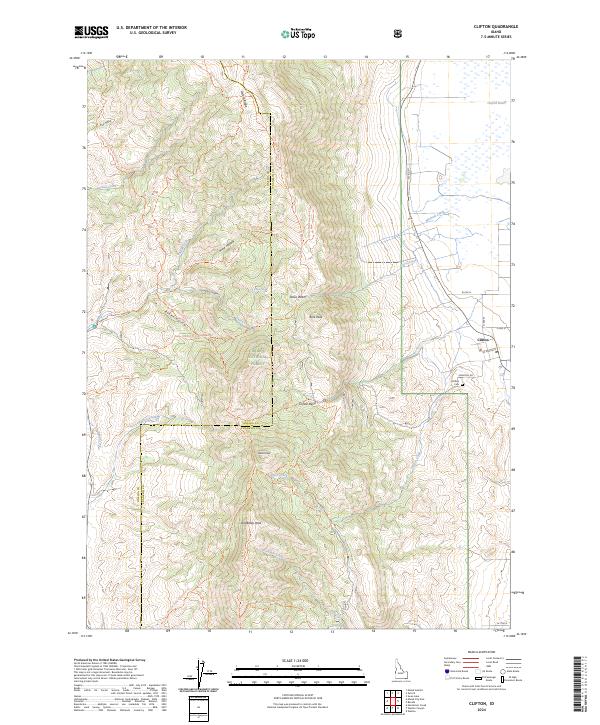 2024 Clifton2024 Print · USGSThe agricultural community of Clifton and the Malad Range highlands are shown in contemporary detail. Researchers can trace local history at the Clifton Cem or follow mountain routes like the Old Baldy Connector Trl and Clifton Creek Trl.
 - 2024 Map of Banida, 2024 Print
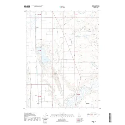
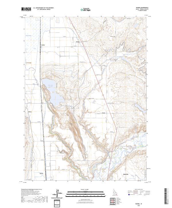 2024 Banida2024 Print · USGSFranklin County's irrigation and ranching landscape is captured here in the contemporary era. Researchers can trace rural lineages through local hubs like Banida, Dayton, and Beers Spur, or locate specific landmarks such as Wayland Hot Springs and Poverty Flats.
 - 2024 Map of Weston, 2024 Print
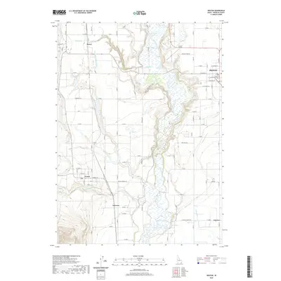
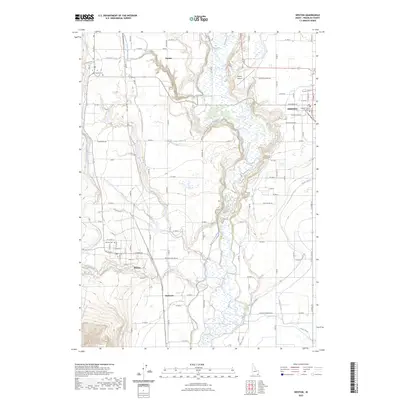
 2024 Weston2024 Print · USGSFranklin County's agricultural heartland is documented here in the modern era, showing the irrigation-dependent landscape between the Bear River and the western foothills. You can trace family roots at Weston Cem and Dayton Cem or explore the civic layout of Preston near the Franklin County Courthouse.
End of results
Showing maps 1-21 of 21
Top cities near Dayton
- Preston historical maps
- Richmond historical maps
- Lewiston historical maps
- Franklin historical maps
- Clarkston historical maps
- Weston historical maps
See more
Frequently asked questions
- What are the different types of historical maps available for Dayton?
- What is the oldest map of Dayton?
- Where can I purchase historical maps of Dayton for my home or office?
- Where can I download high-res historical maps of Dayton?
- Are there historical topographic maps available for Dayton?
- Is there historical aerial imagery available for Dayton?
- Where are historical maps of Dayton sourced from?