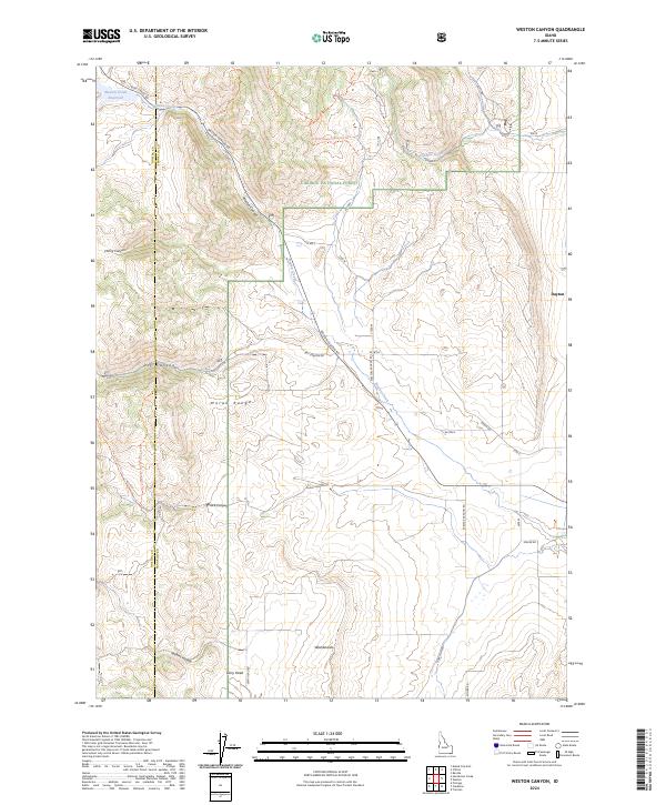
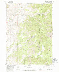
2024 Map of Weston Canyon
USGS Topo · Published 2024About this map
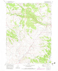
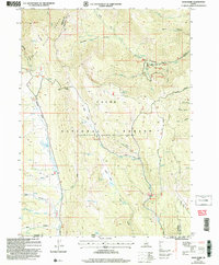
Weston Canyon serves as a central corridor through the northern Malad Range, where the rugged terrain of the Caribou National Forest meets the agricultural valley floor near Dayton. This contemporary survey illustrates the complex water management system of the region, anchored by the Weston Creek Reservoir and the winding course of Weston Creek. The landscape is defined by deep topographic recesses such as Cherry Canyon, Dry Canyon, and Black Canyon, which are navigated by a network of forest trails and rural roads like Weston Canyon Rd and Sky Line. Local landmarks like Dirty Head, the Washboards, and Jenkins Hollow provide specific points of interest for those tracing the distinctive geographic features of the Oneida and Franklin county line.
Find a feature on this map
41 named features on this map. Tap any name to fly to it.
Don’t see what you’re looking for? This feature index may not catch every label — zoom into the map to look around manually.
Map Details
Editions of this 2024 Weston Canyon Map
This is the sole edition of this map. No revisions or reprints were ever made.
Historical Maps of Dayton Through Time
20 maps found
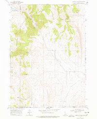
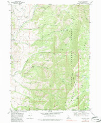
1968 Weston Canyon
Franklin County, ID
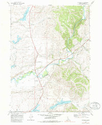
1969 Banida
Franklin County, ID
1969 Egan Basin
Franklin County, ID
1969 Mapleton
Franklin County, ID
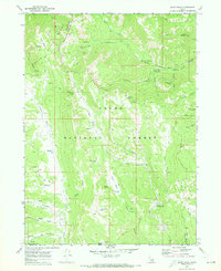
1969 Mink Creek
Franklin County, ID
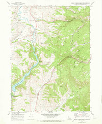
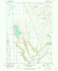
1969 Oneida Narrows Reservoir
Franklin County, ID
1969 Riverdale
Franklin County, ID
1969 Treasureton
Franklin County, ID
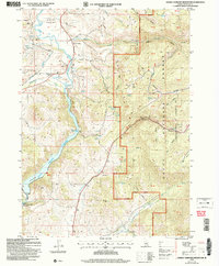
2005 Egan Basin
Franklin County, ID
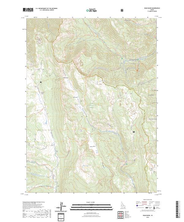
2005 Mapleton
Franklin County, ID
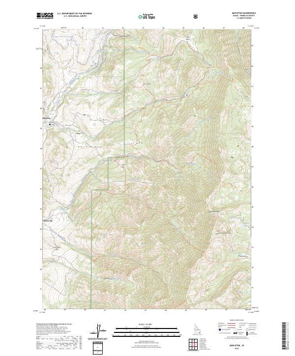
2005 Mink Creek
Franklin County, ID
2005 Oneida Narrows Reservoir
Franklin County, ID
2023 Egan Basin
Franklin County, ID
2023 Mapleton
Franklin County, ID
2023 Mink Creek
Franklin County, ID
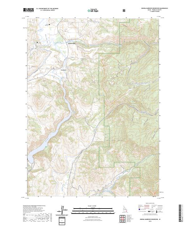
2023 Oneida Narrows Reservoir
Franklin County, ID
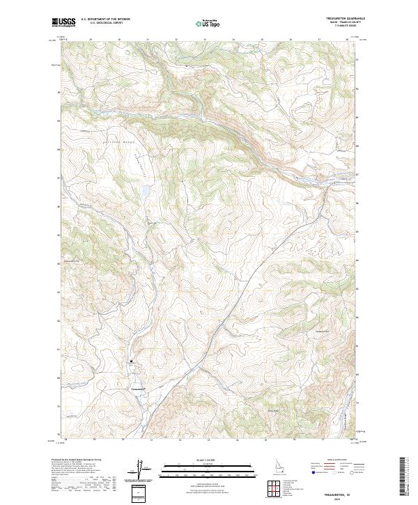
2023 Treasureton
Franklin County, ID
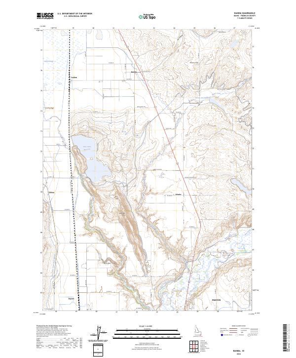
2024 Banida
Franklin County, ID
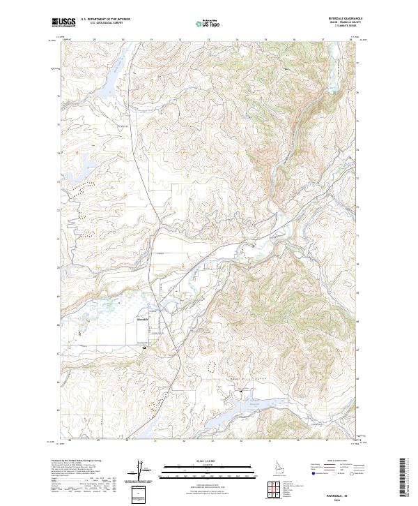
2024 Riverdale
Franklin County, ID
2024 Weston Canyon
Franklin County, ID