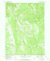
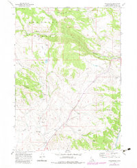
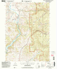
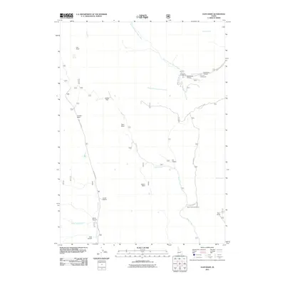
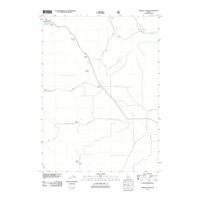
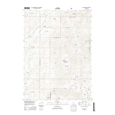
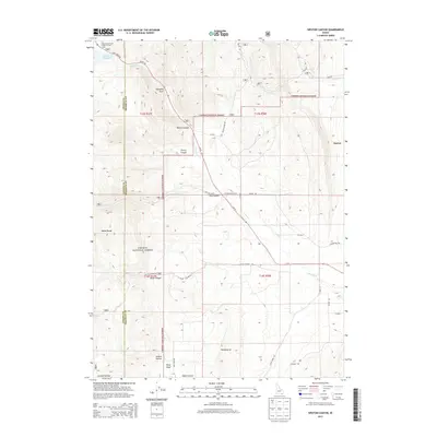
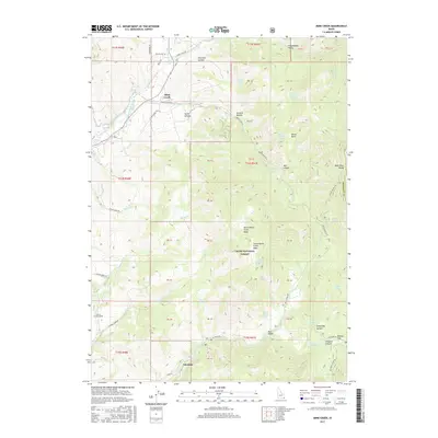
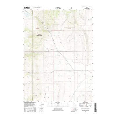
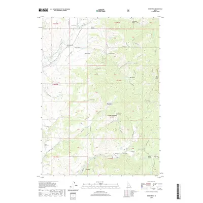
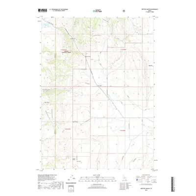
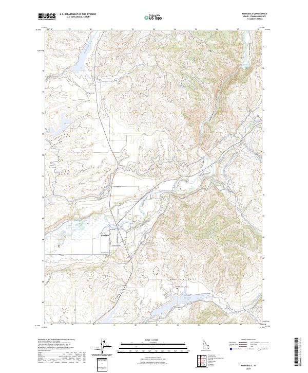
1969 Map of Riverdale
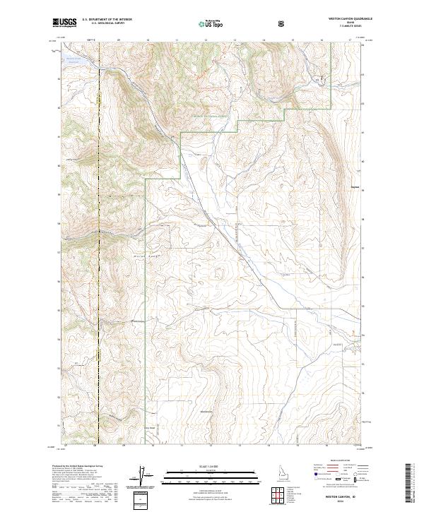
USGS Topo · Published 1986About this map
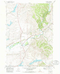
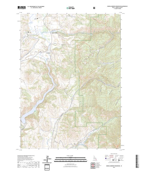
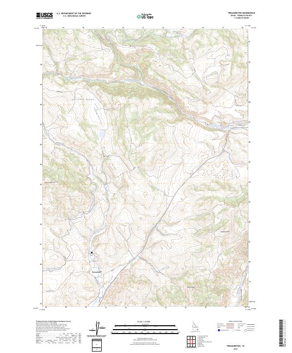
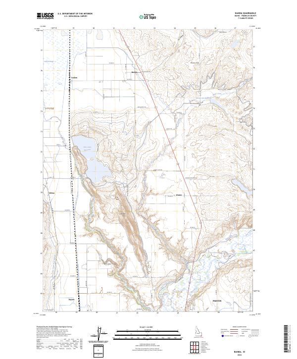
The Bear River winds through this Franklin County landscape, shaping a complex hydraulic network defined by numerous impoundments and irrigation works. In the late 1960s, the area's agricultural character is evidenced by the density of water management features including the Treasureton Reservoir, Glendale Reservoir, and Winder Reservoir. The small settlement of Riverdale serves as a local anchor near the river, while the Oneida Narrows provides a dramatic geological constriction to the northeast.
Find a feature on this map
25 named features on this map. Tap any name to fly to it.
Don’t see what you’re looking for? This feature index may not catch every label — zoom into the map to look around manually.
Map Details
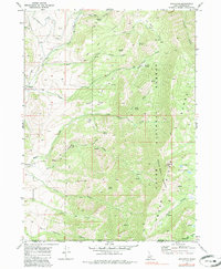
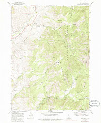
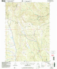
Editions of this 1969 Riverdale Map
2 editions found
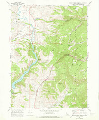
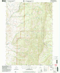
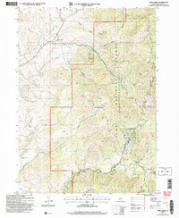
Historical Maps of Riverdale Through Time
52 maps found
1968 Weston Canyon
Franklin County, ID
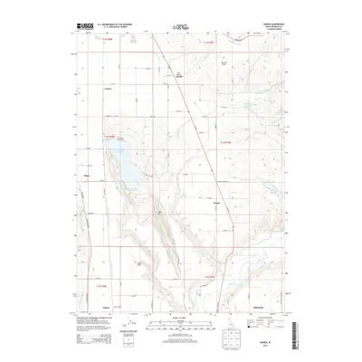
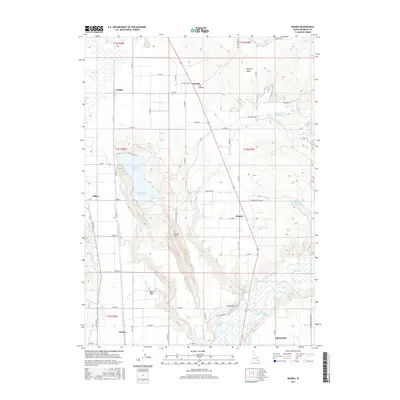
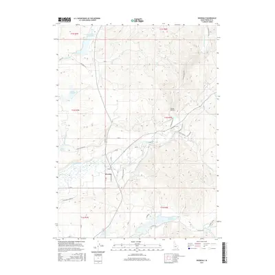
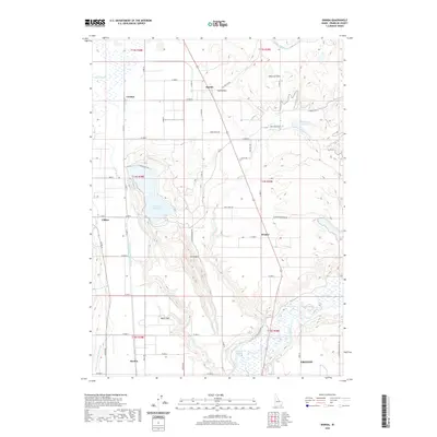
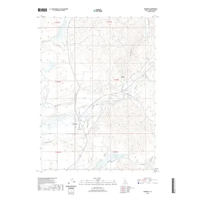
1969 Banida
Franklin County, ID
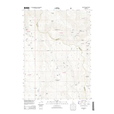
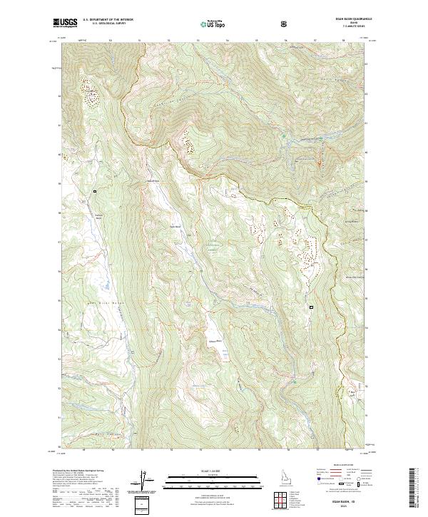
1969 Egan Basin
Franklin County, ID
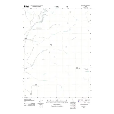
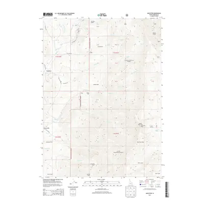
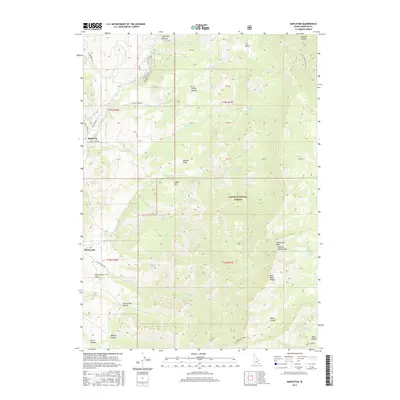
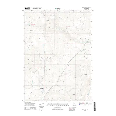
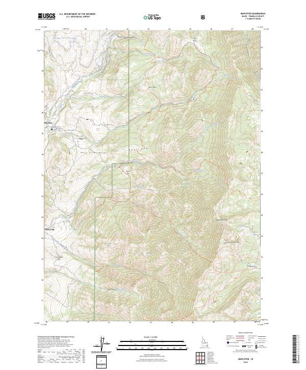
1969 Mapleton
Franklin County, ID
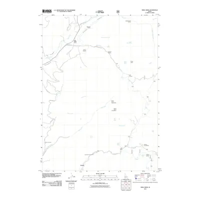
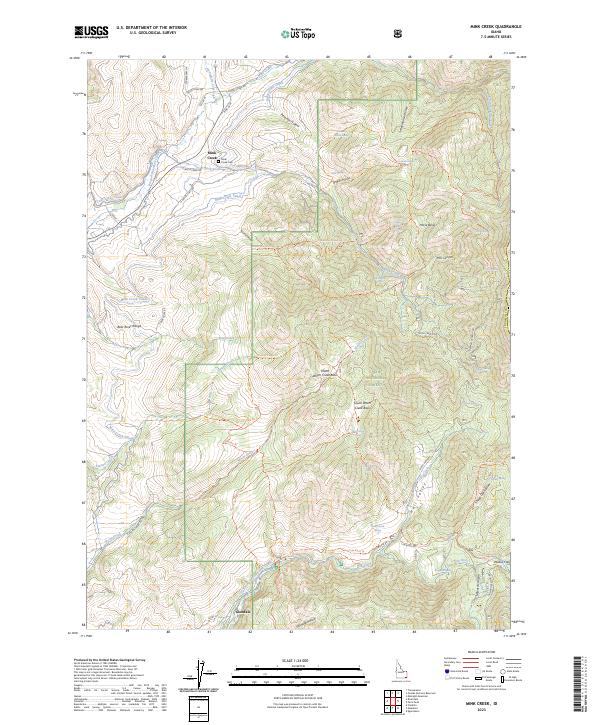
1969 Mink Creek
Franklin County, ID
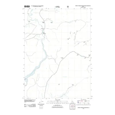
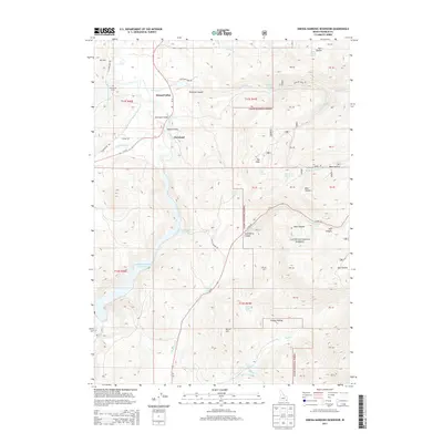
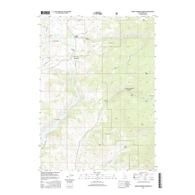
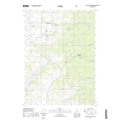
1969 Oneida Narrows Reservoir
Franklin County, ID
1969 Riverdale
Franklin County, ID
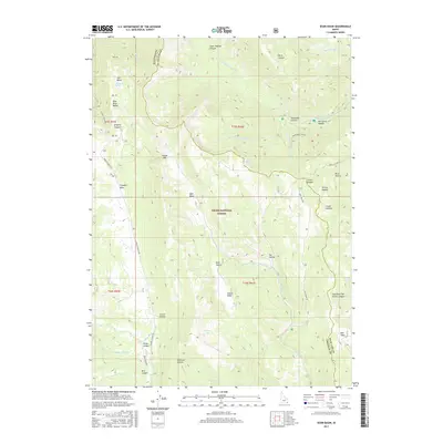
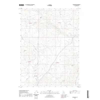
1969 Treasureton
Franklin County, ID
2005 Egan Basin
Franklin County, ID
2005 Mapleton
Franklin County, ID
2005 Mink Creek
Franklin County, ID
2005 Oneida Narrows Reservoir
Franklin County, ID
2010 Banida
Franklin County, ID
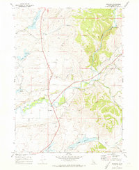
2010 Riverdale
Franklin County, ID
2010 Treasureton
Franklin County, ID
2011 Egan Basin
Franklin County, ID
2011 Mapleton
Franklin County, ID
2011 Mink Creek
Franklin County, ID
2011 Oneida Narrows Reservoir
Franklin County, ID
2011 Weston Canyon
Franklin County, ID
2013 Banida
Franklin County, ID
2013 Egan Basin
Franklin County, ID
2013 Mapleton
Franklin County, ID
2013 Mink Creek
Franklin County, ID
2013 Oneida Narrows Reservoir
Franklin County, ID
2013 Riverdale
Franklin County, ID
2013 Treasureton
Franklin County, ID
2013 Weston Canyon
Franklin County, ID
2017 Banida
Franklin County, ID
2017 Egan Basin
Franklin County, ID
2017 Mapleton
Franklin County, ID
2017 Mink Creek
Franklin County, ID
2017 Oneida Narrows Reservoir
Franklin County, ID
2017 Riverdale
Franklin County, ID
2017 Treasureton
Franklin County, ID
2017 Weston Canyon
Franklin County, ID
2020 Banida
Franklin County, ID
2020 Egan Basin
Franklin County, ID
2020 Mapleton
Franklin County, ID
2020 Mink Creek
Franklin County, ID
2020 Oneida Narrows Reservoir
Franklin County, ID
2020 Riverdale
Franklin County, ID
2020 Treasureton
Franklin County, ID
2020 Weston Canyon
Franklin County, ID
2023 Egan Basin
Franklin County, ID
2023 Mapleton
Franklin County, ID
2023 Mink Creek
Franklin County, ID
2023 Oneida Narrows Reservoir
Franklin County, ID
2023 Treasureton
Franklin County, ID
2024 Banida
Franklin County, ID
2024 Riverdale
Franklin County, ID
2024 Weston Canyon
Franklin County, ID