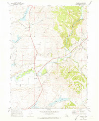
1969 Map of Riverdale
USGS Topo · Published 1973About this map
The Bear River winds through the heart of Franklin County in this late 1960s survey, carving through the dramatic Oneida Narrows before opening into a valley defined by significant water management. The small settlement of Riverdale serves as a central point for the surrounding agricultural landscape, connected to the wider region by the Riverdale Preston Road. The reliance on irrigation and water storage is evident in the numerous reservoirs dotting the terrain, including Treasureton Reservoir in the north and Glendale Reservoir to the south. These artificial water bodies, alongside smaller features like Condie Res and Winder Reservoir, illustrate how the natural drainages of Mink Creek and Sant Creek were harnessed for the local community. For the researcher, the map documents the infrastructure of the era, from the Dam and Gaging Station on the river to the Campground and Boat Ramp that mark the growing recreational utility of the local reservoirs.
Find a feature on this map
31 named features on this map. Tap any name to fly to it.
Don’t see what you’re looking for? This feature index may not catch every label — zoom into the map to look around manually.
Map Details
Editions of this 1969 Riverdale Map
2 editions found
Other maps of this area

1915 · Preston
USGS Topo · 1:96,000

1918 · Preston
USGS Topo · 1:125,000

1955 · Preston
USGS Topo · 1:250,000

1958 · Preston
USGS Topo · 1:250,000

1962 · Preston
USGS Topo · 1:250,000
1969 · Treasureton
USGS Topo · 1:24,000
1969 · Mink Creek
USGS Topo · 1:24,000
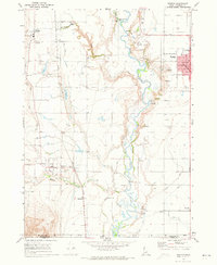
1969 · Weston
USGS Topo · 1:24,000
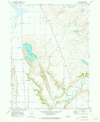
1969 · Banida
USGS Topo · 1:24,000
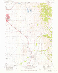
1969 · Franklin
USGS Topo · 1:24,000