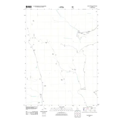
2011 Map of Egan Basin
USGS Topo · Published 2011About this map
The Logan River and its headwater tributaries carve through this high-elevation landscape in Franklin County, where several distinct natural basins serve as prominent landmarks. This 2011 survey documents a network of mountain roads and drainage systems, including the Cub River and the winding Beaver Creek. The map details important recreational access points established for the region's outdoorsmen, such as Cloverleaf Campground and Porcupine Campground near the North Fork Saint Charles Creek. Notable terrain features like the geological Red Sinks and the steep Snowslide Canyon reflect the complex hydrology and topography of the basin system. Early transportation routes are represented by the Franklin Basin Rd and Old Logan Rd, which connect historical grazing and timber lands across Danish Pass and through the various basins, including Egan Basin and Gibson Basin.
Find a feature on this map
30 named features on this map. Tap any name to fly to it.
Don’t see what you’re looking for? This feature index may not catch every label — zoom into the map to look around manually.
Map Details
Editions of this 2011 Egan Basin Map
This is the sole edition of this map. No revisions or reprints were ever made.
Other maps of this area

1909 · Montpelier
USGS Topo · 1:125,000

1911 · Montpelier
USGS Topo · 1:125,000

1912 · Randolph
USGS Topo · 1:125,000

1914 · Logan
USGS Topo · 1:125,000

1915 · Preston
USGS Topo · 1:96,000

1916 · Logan
USGS Topo · 1:125,000

1918 · Preston
USGS Topo · 1:125,000

1954 · Ogden
USGS Topo · 1:250,000

1955 · Preston
USGS Topo · 1:250,000

1958 · Ogden
USGS Topo · 1:250,000