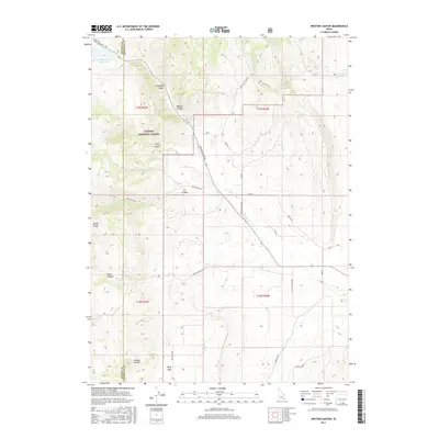
2017 Map of Weston Canyon
USGS Topo · Published 2017About this map
Weston Canyon carves a deep path through the eastern edge of the Malad Range, defining the landscape at the boundary of Oneida and Franklin counties. In the north, the Weston Creek Reservoir captures the flow of Weston Cr before it descends into the canyon. Much of the western terrain is protected within the Caribou National Forest, where steep drainage features like Cherry Canyon and Jenkins Hollow dominate the topography.
Find a feature on this map
35 named features on this map. Tap any name to fly to it.
Don’t see what you’re looking for? This feature index may not catch every label — zoom into the map to look around manually.
Map Details
Editions of this 2017 Weston Canyon Map
This is the sole edition of this map. No revisions or reprints were ever made.
Other maps of this area

1914 · Logan
USGS Topo · 1:125,000

1915 · Preston
USGS Topo · 1:96,000

1916 · Logan
USGS Topo · 1:125,000

1918 · Preston
USGS Topo · 1:125,000

1954 · Pocatello
USGS Topo · 1:250,000

1954 · Ogden
USGS Topo · 1:250,000

1954 · Brigham City
USGS Topo · 1:250,000

1955 · Preston
USGS Topo · 1:250,000

1958 · Ogden
USGS Topo · 1:250,000

1958 · Pocatello
USGS Topo · 1:250,000