Old Maps of Franklin, Idaho for Genealogy
Trace your family roots with 25 historic maps of Franklin. These high-res maps reveal old neighborhoods, homesites, landmarks, and streets — helping you uncover where your ancestors lived and how the area evolved over time.
- Explore historic neighborhoods: Identify where your relatives may have lived in the 1800s or 1900s.
- Compare maps over time: Trace the changes in streets, buildings, and landmarks for multi-generational research.
- Perfect for genealogy & ancestry research: Used by family historians and researchers to map out lineage and migration.
These maps are an incredible resource for exploring your personal connection to Franklin's past.
Franklin, ID maps
(25)- 1914 Map of Logan, 1957 Print
 1914 Logan1957 Print · USGSCache Valley thrives in the early nineteen-hundreds as a hub of rail travel and sugar beet processing. Genealogists can locate family homesteads near Stephenson School, trace the Oregon Short Line, or find remote operations like the Amazon Mine.
 - 1915 Map of Preston
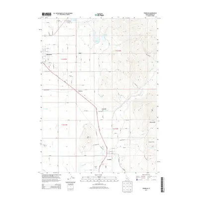
 1915 Preston1915 Print · USGSSoutheastern Idaho and northern Utah are defined by their river valleys and early irrigation networks during the mid-1910s. Genealogists can locate family landmarks like the Thatcher Meetinghouse, Egypt School, and the path of the Oregon Short Line.2 unique versions available
 - 1916 Map of Logan
 1916 Logan1916 Print · USGSCache Valley and the northern Wasatch Range come alive in this mid-1910s survey, showing the peak of the local rail-and-sugar economy. Genealogists can locate family holdings like Hardware Ranch, early rural sites like Stephenson School, and the industrial Sugar Factory.4 unique versions available
 - 1918 Map of Preston
 1918 Preston1918 Print · USGSSouthern Idaho and northern Utah are captured just before the close of the Great War, showing a landscape of burgeoning farm towns and irrigation canals. Researchers can trace the Oregon Short Line to early settlements like Preston or locate rural landmarks like the Thatcher Meetinghouse and Egypt School.2 unique versions available
 - 1954 Map of Ogden, 1967 Print
 1954 Ogden1967 Print · USGSThe northern Utah corridor and Wyoming borderlands are captured here in the mid-1950s, showing the region's transition from mountain wilderness to settled valleys. Researchers can trace historic institutions like Utah State University or locate vanished points like Church Butte Station and the Trappist Monastery.3 unique versions available
 - 1955 Map of Preston, 1968 Print
 1955 Preston1968 Print · USGSSoutheast Idaho and western Wyoming are shown in detail during the mid-fifties, from the high Bear River Range to the Green River Basin. Genealogists and collectors can trace the Union Pacific RR through historic towns like Preston, Montpelier, and Afton.3 unique versions available
 - 1958 Map of Ogden
 1958 Ogden1958 Print · USGSNorthern Utah and southwestern Wyoming are captured here during a period of steady growth and military expansion. You can trace the Union Pacific rail lines and early road networks connecting Ogden and Logan to Bear Lake and Evanston.
 - 1958 Map of Preston
 1958 Preston1958 Print · USGSThe high valleys of the Idaho and Wyoming borderlands are captured here in the late fifties, showcasing a landscape of mountain ranching and phosphate mining. Genealogists and historians can locate early settlements like Chesterfield and Bedford or trace the Union Pacific rail lines serving Cokeville.2 unique versions available
 - 1960 Map of Ogden
 1960 Ogden1960 Print · USGSIn the mid-1950s, this region of the American West balanced military expansion with frontier history along the Union Pacific RR. Genealogists and historians can trace old settlements like Fort Bridger, the residential growth of Washington Terrace, and industrial sites from the Hill AFB complex to the coal mines of Kemmerer.
 - 1962 Map of Preston
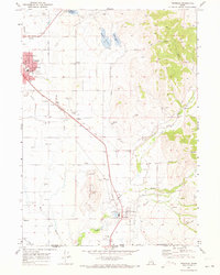
 1962 Preston1962 Print · USGSSoutheast Idaho and the Wyoming borderlands are captured here in the early sixties, a time of thriving agricultural valleys and mountain ranching. Researchers can trace the Union Pacific rail lines and find legacy settlements like Montpelier, Afton, and Preston.
 - 1964 Map of Richmond, 1966 Print
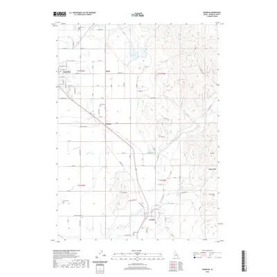
 1964 Richmond1966 Print · USGSThe northern Cache Valley comes alive in the mid-1960s, showing the agricultural heartland along the Idaho-Utah border. Genealogists and local historians can trace family land near Lewiston, the Sugar Refinery, and the Union Pacific rail lines.
 - 1969 Map of Franklin, 1973 Print
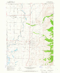
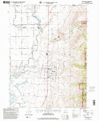
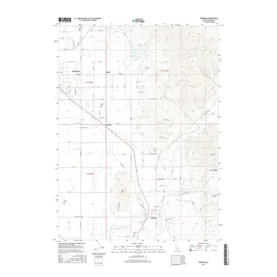
 1969 Franklin1973 Print · USGSFranklin and Preston were established agricultural hubs in the late sixties, tied together by the Union Pacific Railroad. You can trace old family roots and rural infrastructure through Whitney School, the Fairview Cemetery, and the Upper Canal.
 - 1983 Map of Preston
 1983 Preston1983 Print · USGSSoutheast Idaho and the tri-state border region thrived on a mix of mountain agriculture and rail transport in the early eighties. Genealogists and historians can trace the Union Pacific corridor through Preston or locate family landmarks in Mound Valley and Paris.
 - 1984 Map of Logan, 1985 Print
 1984 Logan1985 Print · USGSNorthern Utah and its borderlands with Idaho and Wyoming are shown here in the mid-1980s as the Cache Valley communities grew. Researchers can trace the Union Pacific rail lines and find legacy sites like College Ward, Pickleville, and Utah State University.3 unique versions available
 - 1998 Map of Richmond, 2001 Print
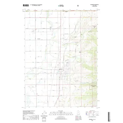
 1998 Richmond2001 Print · USGSThe Cache Valley and the foothills of the Wasatch Range appear here as they were at the end of the century. Trace local family history and land use through landmarks like North Cache Jr HS, the Cub River, and the Mount Naomi Wilderness.
 - 2010 Map of Franklin, 2010 Print
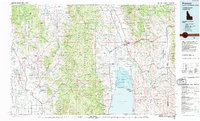
 2010 Franklin2010 Print · USGSCovers Franklin, including Preston, Franklin County, and other nearby areas
 - 2011 Map of Richmond, 2011 Print
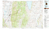
 2011 Richmond2011 Print · USGSCovers Franklin, including Richmond, Lewiston, and other nearby areas
 - 2013 Map of Franklin, 2013 Print
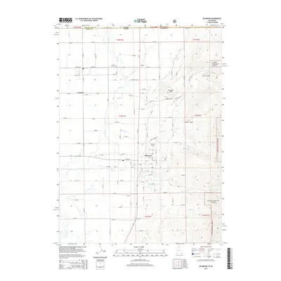
 2013 Franklin2013 Print · USGSCovers Franklin, including Preston, Franklin County, and other nearby areas
 - 2014 Map of Richmond, 2014 Print
 2014 Richmond2014 Print · USGSCovers Franklin, including Richmond, Lewiston, and other nearby areas
 - 2017 Map of Richmond, 2017 Print
 2017 Richmond2017 Print · USGSCovers Franklin, including Richmond, Lewiston, and other nearby areas
 - 2017 Map of Franklin, 2017 Print
 2017 Franklin2017 Print · USGSCovers Franklin, including Preston, Franklin County, and other nearby areas
 - 2020 Map of Richmond, 2020 Print
 2020 Richmond2020 Print · USGSCovers Franklin, including Richmond, Lewiston, and other nearby areas
 - 2020 Map of Franklin, 2020 Print
 2020 Franklin2020 Print · USGSCovers Franklin, including Preston, Franklin County, and other nearby areas
 - 2023 Map of Richmond, 2023 Print
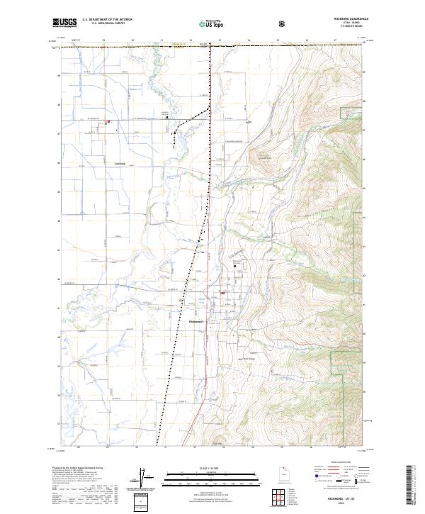 2023 Richmond2023 Print · USGSCrossing the Idaho-Utah border in the mid-2020s, this area shows the enduring connection between valley settlements and mountain waters. Researchers can trace irrigation networks like the Lower High Creek Canal and find local landmarks such as the Richmond City Cem and Cove.
 - 2023 Map of Franklin, 2023 Print
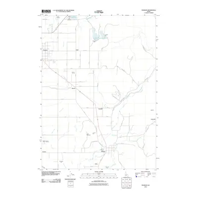
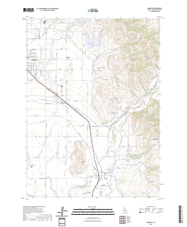 2023 Franklin2023 Print · USGSFranklin County's agricultural heartland is documented here in the early twenty-first century, showing the enduring grid of its historic settlements. Researchers can trace family roots through Preston Cemetery and Whitney Cemetery or follow the intricate paths of the Upper Canal and Cub River.
End of results
Showing maps 1-25 of 25
Top cities near Franklin
- Logan historical maps
- North Logan historical maps
- Smithfield historical maps
- Preston historical maps
- Hyde Park historical maps
- Richmond historical maps
See more
Frequently asked questions
- What are the different types of historical maps available for Franklin?
- What is the oldest map of Franklin?
- Where can I purchase historical maps of Franklin for my home or office?
- Where can I download high-res historical maps of Franklin?
- Are there historical topographic maps available for Franklin?
- Is there historical aerial imagery available for Franklin?
- Where are historical maps of Franklin sourced from?