Old Maps of Harpster, Idaho for Academic Research
Study the evolution of Harpster with 12 high-resolution historic maps. Whether you're teaching, researching, or modeling changes in land use, these maps provide essential visual documentation of urban, environmental, and geographic change.
- Analyze long-term change: Track patterns in development, transportation, and natural features.
- Ideal for environmental or urban studies: Support academic projects with primary historical map data.
- Use in the classroom or lab: Educators and researchers rely on these maps to bring historical context to life.
These maps are a powerful tool for teaching, research, and visualizing how Harpster has changed over the decades.
Harpster, ID maps
(12)- 1931 Map of Buffalo Hump, 1957 Print
 1931 Buffalo Hump1957 Print · USGSIdaho County’s high backcountry was a hub of gold mining and remote ranching in the years between the world wars. Genealogists and historians can locate family lands like the McComas Ranch and trace the operations of the Mother Lode Mine or New York Mine.
 - 1934 Map of Buffalo Hump
 1934 Buffalo Hump1934 Print · USGSIdaho County mining activity and forest settlement are captured here during the 1930s, documenting a remote region of the Nez Perce National Forest. Researchers can locate specific claims like the Mother Lode Mine or trace family roots at Orogrande and McComas Ranch.
 - 1956 Map of Elk City, 1963 Print
 1956 Elk City1963 Print · USGSThe Idaho backcountry in the mid-fifties remains a landscape of isolated mining camps and remote forest outposts. Researchers can trace historical mining operations at Stibnite Mine and Blackbird Mine or locate riverside landmarks like Mackay Bar and Campbell's Ferry.3 unique versions available
 - 1960 Map of Elk City
 1960 Elk City1960 Print · USGSThe Central Idaho wilderness and Bitterroot Range are captured here during the peak of mid-century industrial mining. Researchers can trace remote backcountry settlements like Burgdorf and Warren, alongside major mineral sites including the Blackbird Mine and Ima Mine.2 unique versions available
 - 1963 Map of Harpster, 1965 Print
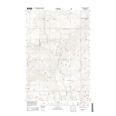
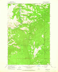 1963 Harpster1965 Print · USGSIdaho's river canyons and timberlands are captured here in the early sixties, centered on the settlement of Harpster along the South Fork Clearwater River. Researchers can trace old mountain routes like the jeep trails leading to McComas Meadows, Camp 58, and Monument Hill.
 - 1981 Map of Elk City
 1981 Elk City1981 Print · USGSIdaho County's gold-mining heartland is surveyed here in the early 1980s, from the river canyons to the high peaks. Genealogists and historians can trace numerous mining operations like the Mother Lode Mine and Golden Hand Mine, or locate remote settlements such as Orogrande and Elk City.2 unique versions available
 - 1995 Map of Harpster, 1999 Print
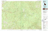
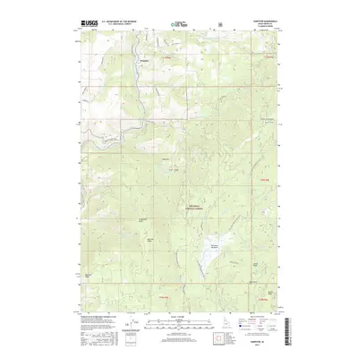
 1995 Harpster1999 Print · USGSThe South Fork Clearwater River valley in the mid-1990s reveals a landscape of forestry camps and rugged summits. Genealogists and researchers can locate the Harpster Cemetery, family sites like Kidder Place, and industrial remnants at Potlatch Camp 58.
 - 2011 Map of Harpster, 2011 Print
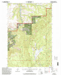
 2011 Harpster2011 Print · USGSCovers Harpster, including Idaho County, United States, and other nearby areas
 - 2013 Map of Harpster, 2013 Print
 2013 Harpster2013 Print · USGSCovers Harpster, including Idaho County, United States, and other nearby areas
 - 2017 Map of Harpster, 2017 Print
 2017 Harpster2017 Print · USGSCovers Harpster, including Idaho County, United States, and other nearby areas
 - 2020 Map of Harpster, 2020 Print
 2020 Harpster2020 Print · USGSCovers Harpster, including Idaho County, United States, and other nearby areas
 - 2024 Map of Harpster, 2024 Print
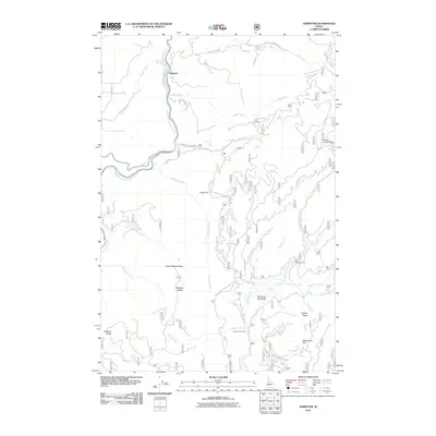
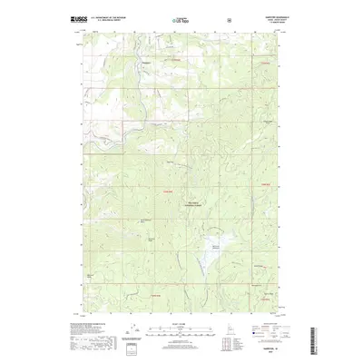
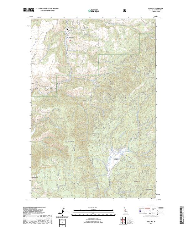 2024 Harpster2024 Print · USGSHarpster and the surrounding Idaho back country appear here in the early twenty-first century, showcasing a landscape defined by timber and the river. Researchers can trace the path of the South Fork Clearwater River or locate the Harpster Cem and McComas Meadows.
End of results
Showing maps 1-12 of 12
Top cities near Harpster
Frequently asked questions
- What are the different types of historical maps available for Harpster?
- What is the oldest map of Harpster?
- Where can I purchase historical maps of Harpster for my home or office?
- Where can I download high-res historical maps of Harpster?
- Are there historical topographic maps available for Harpster?
- Is there historical aerial imagery available for Harpster?
- Where are historical maps of Harpster sourced from?