2000s (21st Century) Maps of Post Falls, Idaho
Explore 20 historic maps of Post Falls from the 2000s (21st Century). These maps offer a rare glimpse into what life looked like during the 2000s — showing old roads, neighborhoods, homes, and landmarks that have changed or disappeared over time.
Whether you're researching your family's past, planning a metal detecting trip, or studying how Post Falls's landscape evolved across the 2000s, these high-resolution maps are a powerful tool for exploring the history of this region.
- Focus on a specific era: All maps on this page are from the 2000s, giving you a focused view of this time period.
- See what’s changed: Compare century-old streets, trails, and buildings to today's modern landscape using overlays and satellite layers.
- Research with precision: Use these maps for genealogy, historical research, land use analysis, or educational projects.
- View, download, or print: Maps are fully viewable online in high resolution, and can be downloaded or printed for your own records.
Start exploring Post Falls's history through authentic maps from the 2000s. This is your window into the past.
Post Falls, ID maps
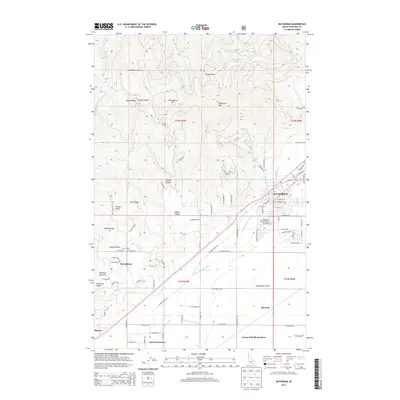
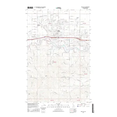
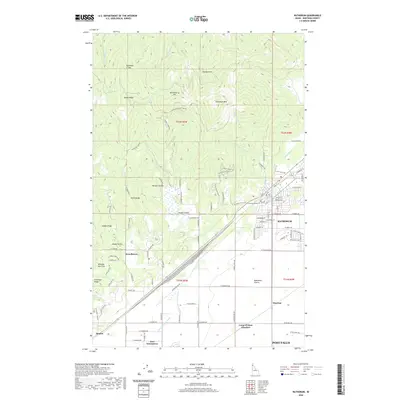
(20)- 2010 Map of Post Falls, 2010 Print
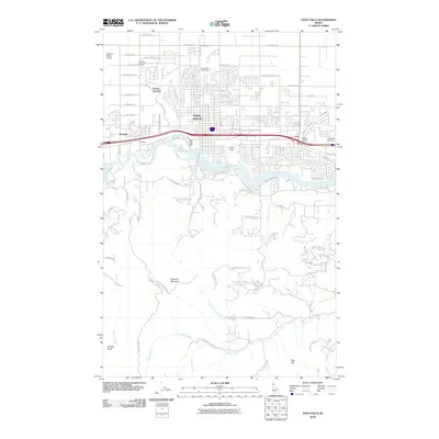 2010 Post Falls2010 Print · USGSCovers Post Falls, including Kootenai County, United States, and other nearby areas
 - 2011 Map of Coeur D'Alene, 2011 Print
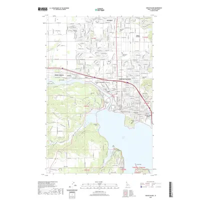
 2011 Coeur D'Alene2011 Print · USGSCovers Post Falls, including Coeur d'Alene, Hayden, and other nearby areas
 - 2011 Map of Rathdrum, 2011 Print
 2011 Rathdrum2011 Print · USGSCovers Post Falls, including Rathdrum, Hauser, and other nearby areas
 - 2011 Map of Liberty Lake, 2011 Print
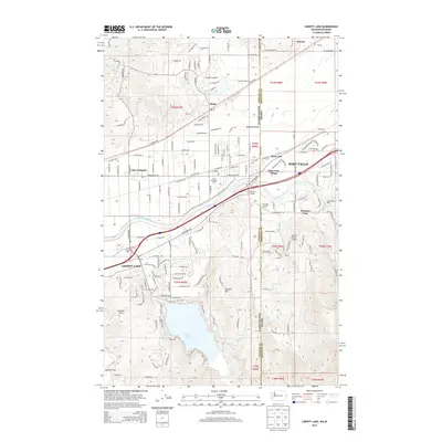
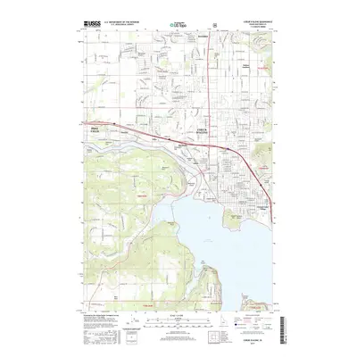
 2011 Liberty Lake2011 Print · USGSCovers Post Falls, including Liberty Lake, Hauser, and other nearby areas
 - 2013 Map of Coeur D'Alene, 2013 Print
 2013 Coeur D'Alene2013 Print · USGSCovers Post Falls, including Coeur d'Alene, Hayden, and other nearby areas
 - 2013 Map of Post Falls, 2013 Print
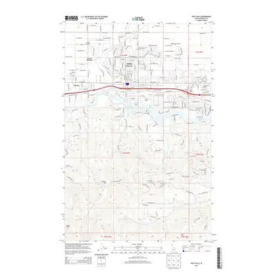 2013 Post Falls2013 Print · USGSCovers Post Falls, including Kootenai County, United States, and other nearby areas
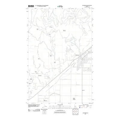
 - 2013 Map of Rathdrum, 2013 Print
 2013 Rathdrum2013 Print · USGSCovers Post Falls, including Rathdrum, Hauser, and other nearby areas
 - 2014 Map of Liberty Lake, 2014 Print
 2014 Liberty Lake2014 Print · USGSCovers Post Falls, including Liberty Lake, Hauser, and other nearby areas
 - 2017 Map of Liberty Lake, 2017 Print
 2017 Liberty Lake2017 Print · USGSCovers Post Falls, including Liberty Lake, Hauser, and other nearby areas
 - 2017 Map of Rathdrum, 2017 Print
 2017 Rathdrum2017 Print · USGSCovers Post Falls, including Rathdrum, Hauser, and other nearby areas
 - 2017 Map of Post Falls, 2017 Print
 2017 Post Falls2017 Print · USGSCovers Post Falls, including Kootenai County, United States, and other nearby areas
 - 2017 Map of Coeur D'Alene, 2017 Print
 2017 Coeur D'Alene2017 Print · USGSCovers Post Falls, including Coeur d'Alene, Hayden, and other nearby areas
 - 2020 Map of Liberty Lake, 2020 Print
 2020 Liberty Lake2020 Print · USGSCovers Post Falls, including Liberty Lake, Hauser, and other nearby areas
 - 2020 Map of Post Falls, 2020 Print
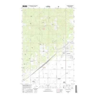
 2020 Post Falls2020 Print · USGSCovers Post Falls, including Kootenai County, United States, and other nearby areas
 - 2020 Map of Rathdrum, 2020 Print
 2020 Rathdrum2020 Print · USGSCovers Post Falls, including Rathdrum, Hauser, and other nearby areas
 - 2020 Map of Coeur D'Alene, 2020 Print
 2020 Coeur D'Alene2020 Print · USGSCovers Post Falls, including Coeur d'Alene, Hayden, and other nearby areas
 - 2023 Map of Liberty Lake, 2023 Print
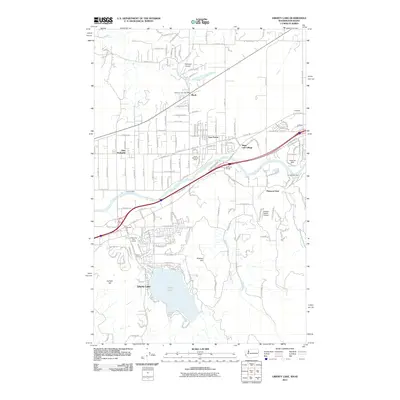
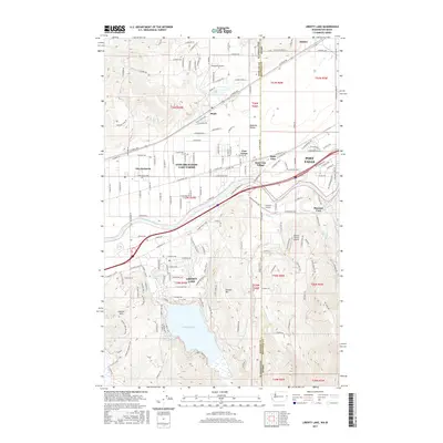
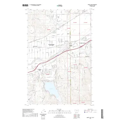
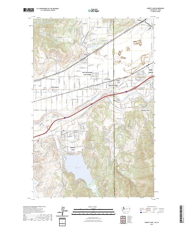 2023 Liberty Lake2023 Print · USGSThe Washington-Idaho borderlands thrive along the Spokane River in this modern era, showing the growth of Liberty Lake and Post Falls. Genealogists and researchers can trace local landmarks like Pleasant View Cem, Moab, and State Line Village.
 - 2024 Map of Post Falls, 2024 Print
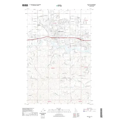
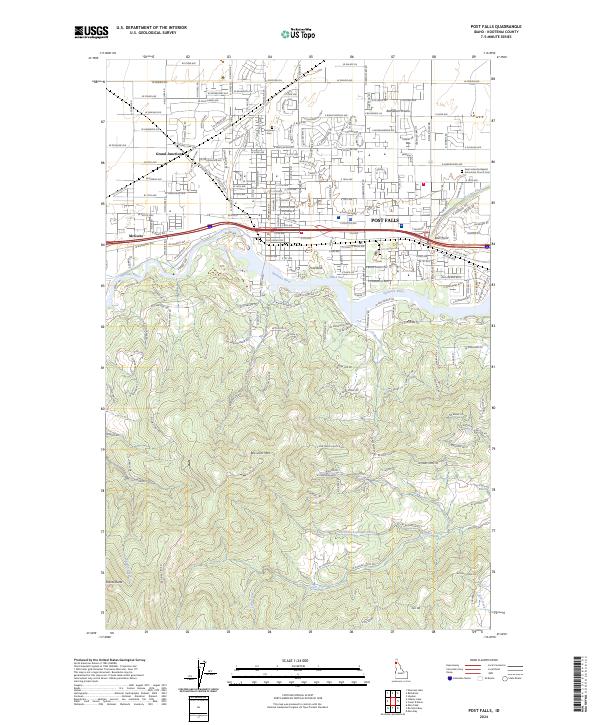 2024 Post Falls2024 Print · USGSPost Falls and the Spokane River corridor are captured here during a period of significant suburban and residential growth. Genealogists can locate Evergreen Cem or trace the Union Pacific RR through Grand Junction and McGuire.
 - 2024 Map of Rathdrum, 2024 Print
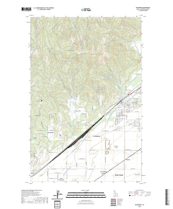 2024 Rathdrum2024 Print · USGSThe Kootenai County landscape near Rathdrum is shown here in its modern context, from the slopes of Huckleberry Hill to the fertile Rathdrum Prairie. Researchers can trace irrigation history along the East Greenacres Main Ditch or locate family sites near Howelltown and Mount Calvary Cem.
 - 2024 Map of Coeur D'Alene, 2024 Print
 2024 Coeur D'Alene2024 Print · USGSCoeur d'Alene and the Spokane River corridor are captured in this modern survey as they appear in the mid-2020s. Genealogists and local historians can trace burial sites from Forest Cem to Saint Pius Parish Cem or locate civic landmarks like the Kootenai County Courthouse.
End of results
Showing maps 1-20 of 20
Top cities near Post Falls
- Spokane Valley historical maps
- Coeur d'Alene historical maps
- Hayden historical maps
- Liberty Lake historical maps
- Rathdrum historical maps
- Dalton Gardens historical maps
See more
Top neighborhoods of Post Falls
Frequently asked questions
- What are the different types of historical maps available for Post Falls?
- What is the oldest map of Post Falls?
- Where can I purchase historical maps of Post Falls for my home or office?
- Where can I download high-res historical maps of Post Falls?
- Are there historical topographic maps available for Post Falls?
- Is there historical aerial imagery available for Post Falls?
- Where are historical maps of Post Falls sourced from?