Old Maps of Teton County, Idaho for Metal Detecting
Plan your next treasure hunt with 104 historic maps of Teton County. Find old homesites, ghost towns, trails, and gathering spots that may be lost to time — perfect for identifying promising metal detecting locations.
- Locate forgotten sites: Uncover places like long-lost settlements, abandoned rail lines, or gathering spots.
- Plan better hunts: Use map overlays combined with LiDAR or satellite views to narrow in on historically rich areas.
- Made for detectorists: Thousands of hobbyists use these maps to discover relics, coins, and hidden history.
Use these historic maps to boost your research and find new opportunities beneath the surface of Teton County.
Teton County, ID maps
(104)- 1943 Map of Driggs, 1955 Print
 1943 Driggs1955 Print · USGSTeton Valley during the mid-forties is depicted as a thriving agricultural and rail corridor between the high peaks of the Teton Mountains. Researchers can trace the heritage of local rural life through labels for Bates Sch, Darby Ch, and the Union Pacific line.3 unique versions available
 - 1943 Map of Garns Mtn, 1957 Print
 1943 Garns Mtn1957 Print · USGSEastern Idaho's high ridges and the winding Snake River corridor are captured here during the mid-1940s. Researchers can locate remote industrial sites like the Brown Bear Mine, early education landmarks such as the Upper Pine Creek Sch, and the Durrant Ranch.3 unique versions available
 - 1946 Map of Driggs
 1946 Driggs1946 Print · USGSThe Teton Valley was a landscape of remote mountain peaks and irrigated ranch land during the mid-forties. Genealogists and historians can trace old homestead sites near Bates Sch and Sorensen or follow the historic Union Pacific rail line between Driggs and Victor.
 - 1946 Map of Garns Mtn
 1946 Garns Mtn1946 Print · USGSHigh-country ranching and coal mining define this Idaho landscape in the 1940s, situated where the Snake River meets the Big Flat. Genealogists and historians can trace family locations at the Durant Ranch or follow the local mining economy through sites like the Mikesell Mine and Pintar Mine.
 - 1955 Map of Driggs, 1967 Print
 1955 Driggs1967 Print · USGSEastern Idaho and Western Wyoming appear at a mid-century crossroads as the river valleys were fully settled and the high peaks protected. Genealogists and researchers can trace the rail towns of Rexburg and Driggs or follow the Snake River from Irwin to the Palisades Reservoir.3 unique versions available
 - 1958 Map of Driggs
 1958 Driggs1958 Print · USGSThe high Teton peaks and Snake River valleys are captured here in the mid-fifties, showing the region's agricultural and wilderness boundaries. Researchers can trace the Union Pacific rail corridor through Rexburg or locate early settlements like Clementsville and Tetonia.2 unique versions available
 - 1962 Map of Driggs
 1962 Driggs1962 Print · USGSThe Idaho-Wyoming borderlands are captured here in the early sixties, showing the peaks and valleys of the northern Rockies. Genealogists and historians can trace rail lines like the Union Pacific RR and isolated outposts like the National Elk Refuge or the Fort Hall Indian Reservation.
 - 1965 Map of Lamont, 1967 Print
 1965 Lamont1967 Print · USGSEastern Idaho in the mid-1960s reveals a high-altitude rail and farming landscape on the edge of the Targhee National Forest. Local historians can trace the Union Pacific line through Lamont and find landmarks like the rural Grain Elevator and Pinochle Road.2 unique versions available
 - 1965 Map of Packsaddle Lake, 1967 Print
 1965 Packsaddle Lake1967 Print · USGSTeton County, Idaho, was a mix of rugged high-country wilderness and valley floor agriculture in the mid-sixties. Researchers can locate the University of Idaho Agricultural Experiment Station or trace the drainage of Packsaddle Lake into the Teton River.2 unique versions available
 - 1965 Map of Mc Renolds Reservoir, 1967 Print
 1965 Mc Renolds Reservoir1967 Print · USGSThe high forest lands of the Idaho-Wyoming border come to life in the mid-1960s, showing a landscape defined by deep canyons and mountain meadows. You can trace early backcountry routes like the Rim Trail and find isolated landmarks such as McRenolds Reservoir and Coyote Meadows.3 unique versions available
 - 1965 Map of Clawson, 1967 Print
 1965 Clawson1967 Print · USGSThe Teton Basin at the Idaho-Wyoming border shows a landscape of mountain ridges and intensive valley irrigation in the mid-1960s. Researchers can trace the complex water systems of the Center Canal and Hog Canal near the settlements of Clawson and Alta.3 unique versions available
 - 1965 Map of Linderman Dam, 1967 Print
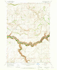 1965 Linderman Dam1967 Print · USGSEastern Idaho in the mid-sixties reveals a river-cut landscape shaped by the Teton River and local ranching. Trace the water infrastructure of the Linderman Dam Spillway and early community landmarks like the Grange Hall.2 unique versions available
 - 1965 Map of Drummond, 1967 Print
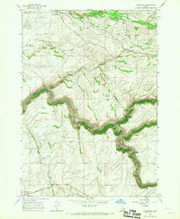 1965 Drummond1967 Print · USGSEastern Idaho's plateau and deep river canyons are captured here in the mid-sixties, showing the intersection of rail transport and hydroelectric power. Researchers can trace the Union Pacific line through Drummond or locate local landmarks like Farnum Cem and the Camp Henry Historic Site.2 unique versions available
 - 1965 Map of Wright Creek, 1967 Print
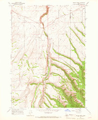 1965 Wright Creek1967 Print · USGSThe Madison County and Teton County borderlands come into focus in the mid-sixties, showing the rugged transition into the forest. Researchers can locate the Pincock Hot Springs and Swimming Pool, alongside a mountain Cem and the remote Smith settlement.2 unique versions available
 - 1965 Map of Tetonia, 1967 Print
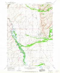 1965 Tetonia1967 Print · USGSThe Teton Basin in the mid-sixties reveals an intricate landscape of high-country agriculture and river-fed wetlands. Researchers can trace the path of the Union Pacific railroad and locate rural burial sites like Haden Cem or the settlement of Felt.3 unique versions available
 - 1966 Map of Wheaton Mountain, 1969 Print
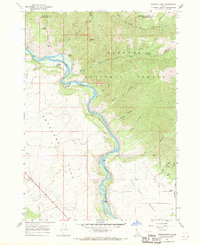 1966 Wheaton Mountain1969 Print · USGSThe high canyons and river bottoms of Bonneville County are captured here in the mid-sixties. Researchers can trace historical routes like the Pack Trails along Wheaton Mtn and locate named water sources such as Warm Springs and Lufkin Spring.3 unique versions available
 - 1977 Map of Stouts Mtn, 1978 Print
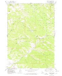 1977 Stouts Mtn1978 Print · USGSThe high backcountry of Bonneville County is captured in the late seventies, showing a landscape defined by forest service management and early recreational development. Researchers can trace historic access routes like the Pack Trails and locate family-named landmarks including Roy Farnes Spring and Mike Spencer Canyon.2 unique versions available
 - 1978 Map of Driggs
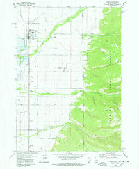 1978 Driggs1978 Print · USGSThe Teton Basin comes alive in the late seventies as a hub of rail, ranching, and mountain access. Genealogists and historians can trace the Union Pacific line through Driggs, find the Driggs-Darby Cem, or locate the old Drive-in Theater.2 unique versions available
 - 1978 Map of Fourth of July Peak
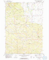 1978 Fourth of July Peak1978 Print · USGSThe high peaks and irrigation networks of Teton County are captured in the late 1970s as the wilderness meets the basin. Local historians and hikers can trace remote landmarks like Walton Mine and Fourth of July Peak or the path of the Spencer Canal.2 unique versions available
 - 1978 Map of Garns Mtn
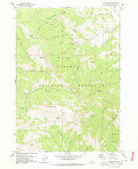 1978 Garns Mtn1978 Print · USGSThe mining landscape of the Big Hole Mountains is preserved here during the late 1970s. You can trace the rugged network of pack trails connecting the Packsaddle Mine, Hillman Mine, and Idaho Mine across the high ridges.2 unique versions available
 - 1978 Map of Victor, 1979 Print
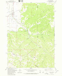 1978 Victor1979 Print · USGSVictor and the southern Teton Basin are shown in the late seventies as the rail lines met the mountains. Genealogists and hikers can trace the Victor Cem, follow the Union Pacific tracks, or explore the Trail Creek Trail and Mike Harris Creek.3 unique versions available
 - 1979 Map of Bates, 1985 Print
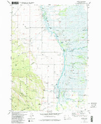 1979 Bates1985 Print · USGSTeton County in the late 1970s is characterized by the winding Teton River and the high ridges of the Targhee National Forest. Researchers can trace old family sites near Bates, locate the Cedron Cem, or follow the Long Ridge Trail into the mountains.2 unique versions available
 - 1979 Map of Temple Peak, 1985 Print
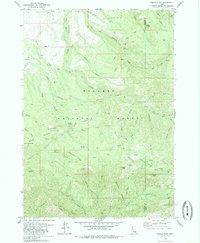 1979 Temple Peak1985 Print · USGSThe high country of the Madison and Teton county line is captured in the late seventies, showing a landscape defined by forest service trails and remote camps. Genealogists and historians can trace the paths to Browning, a Mine in Coalmine Canyon, and the waters of Spring Castle Lake.
 - 1988 Map of Rexburg, 1989 Print
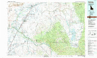 1988 Rexburg1989 Print · USGSThe Upper Snake River Valley in the late eighties shows a region shaped by water and agriculture. Genealogists and historians can locate family plots at the Rexburg Cemetery or trace the early paths of the Union Pacific Railroad through towns like Sugar City and Newdale.
 - 2010 Map of Drummond, 2010 Print
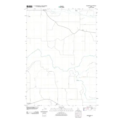 2010 Drummond2010 Print · USGSFremont County's agricultural high country is documented here in the early twenty-first century, showing the small grain-handling centers and rural intersections of the region. Researchers can locate the Farnum Cemetery, the site of Felt Dam on the Teton River, and the settlement at Drummond.
Showing maps 1-25 of 104
Top cities of Teton County
Frequently asked questions
- What are the different types of historical maps available for Teton County?
- What is the oldest map of Teton County?
- Where can I purchase historical maps of Teton County for my home or office?
- Where can I download high-res historical maps of Teton County?
- Are there historical topographic maps available for Teton County?
- Is there historical aerial imagery available for Teton County?
- Where are historical maps of Teton County sourced from?