2000s (21st Century) Maps of Teton County, Idaho
Explore 80 historic maps of Teton County from the 2000s (21st Century). These maps offer a rare glimpse into what life looked like during the 2000s — showing old roads, neighborhoods, homes, and landmarks that have changed or disappeared over time.
Whether you're researching your family's past, planning a metal detecting trip, or studying how Teton County's landscape evolved across the 2000s, these high-resolution maps are a powerful tool for exploring the history of this region.
- Focus on a specific era: All maps on this page are from the 2000s, giving you a focused view of this time period.
- See what’s changed: Compare century-old streets, trails, and buildings to today's modern landscape using overlays and satellite layers.
- Research with precision: Use these maps for genealogy, historical research, land use analysis, or educational projects.
- View, download, or print: Maps are fully viewable online in high resolution, and can be downloaded or printed for your own records.
Start exploring Teton County's history through authentic maps from the 2000s. This is your window into the past.
Teton County, ID maps
(80)- 2010 Map of Drummond, 2010 Print
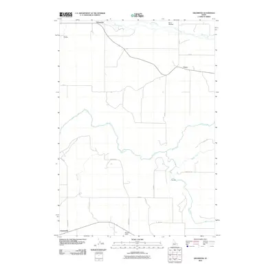 2010 Drummond2010 Print · USGSFremont County's agricultural high country is documented here in the early twenty-first century, showing the small grain-handling centers and rural intersections of the region. Researchers can locate the Farnum Cemetery, the site of Felt Dam on the Teton River, and the settlement at Drummond.
 - 2010 Map of Linderman Dam, 2010 Print
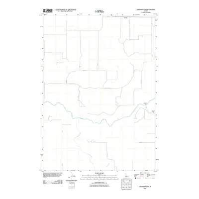 2010 Linderman Dam2010 Print · USGSMadison County ranching and water infrastructure are captured here in the early twenty-first century as the river meets the plains. Local historians can trace family lands near Linderman Ranch or the course of the Teton River as it passes Linderman Dam.
 - 2011 Map of Lamont, 2011 Print
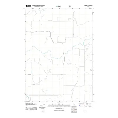 2011 Lamont2011 Print · USGSTeton County ranching and river access are captured here during the early twenty-first century. Researchers can trace the layout of family-named roads and remote outposts like Bitch Creek Cow Camp, Lamont, and the Badger Creek Access Area.
 - 2011 Map of Temple Peak, 2011 Print
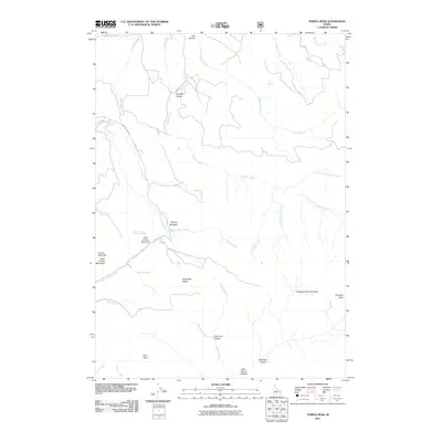 2011 Temple Peak2011 Print · USGSThe high ridges and deep canyons of Madison County are captured in detail during the early twenty-first century. Researchers can trace the drainages of Calamity Creek and Ruby Creek or locate landmarks like Moody Meadow and Farnes Mountain.
 - 2011 Map of Tetonia, 2011 Print
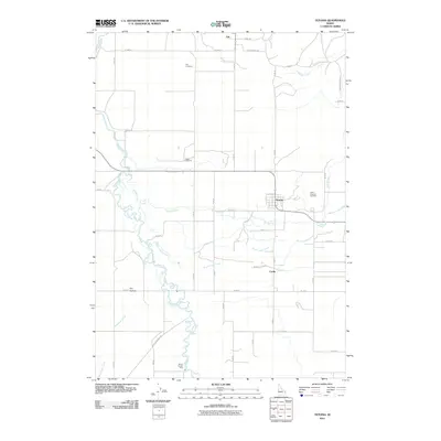 2011 Tetonia2011 Print · USGSTetonia and the surrounding Idaho plains are captured here in the early twenty-first century as the Teton River winds through a patchwork of rural roads. Genealogists can locate family sites at Felt Cemetery, Haden Cemetery, or near the quiet settlement of Cache.
 - 2011 Map of Bates, 2011 Print
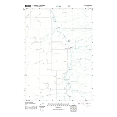 2011 Bates2011 Print · USGSTeton County, Idaho, is depicted here in the early twenty-first century as a landscape of river meanders and historic rural settlements. Genealogists and local historians can trace the foundations of the Teton Basin via the Bates Cemetery, Cedron Cemetery, and old crossings like Buxton Bridge.
 - 2011 Map of Garns Mountain, 2011 Print
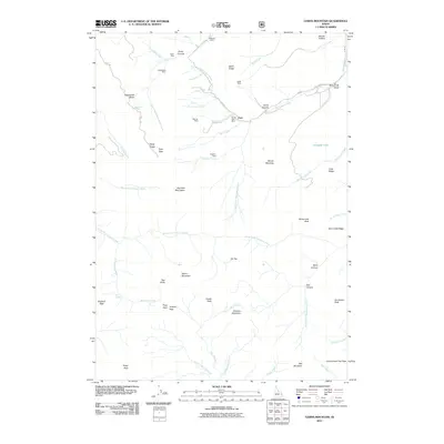 2011 Garns Mountain2011 Print · USGSThe high ridges of Teton County are captured here in the early 2000s, showing a landscape defined by its mining heritage and high mountain passes. Researchers can locate numerous historic sites including the Packsaddle Mine, Hillman Mine, and Alligator Lake.
 - 2011 Map of Victor, 2011 Print
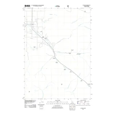 2011 Victor2011 Print · USGSVictor and the Teton Valley landscape are captured here in the early 2000s, showing the intersection of mountain recreation and valley agriculture. Researchers can trace the irrigation network of Kearsley Canal and String Canal or locate families at The String and Victor Cemetery.
 - 2011 Map of Clawson, 2011 Print
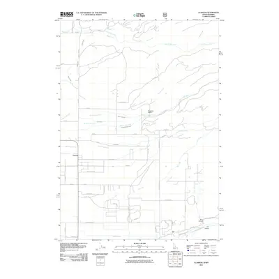 2011 Clawson2011 Print · USGSThe Idaho-Wyoming borderlands are captured here in the early twenty-first century, showcasing a landscape defined by ranching and complex irrigation. You can trace the path of historic water rights through the Edison and Ricks Canal and locate family-named routes like Beard Rd and Butler Ln.
 - 2011 Map of Driggs, 2011 Print
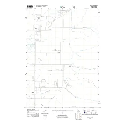 2011 Driggs2011 Print · USGSThe Teton Valley at the start of the 2010s shows a landscape of traditional farming communities and newer rural subdivisions. Trace local family history through the Driggs Cemetery and Driggs-Darby Cemetery, or explore the geography of Darby Canyon and Fox Creek.
 - 2011 Map of Stouts Mountain, 2011 Print
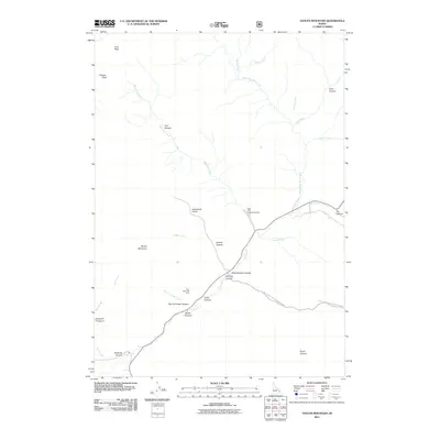 2011 Stouts Mountain2011 Print · USGSBonneville County high country in the early twenty-first century is defined by mountain recreation and deep forest canyons. Genealogists and outdoor historians can trace the geography of family-named landmarks like Beckman Canyon or visit the Pine Basin Ski Area.
 - 2011 Map of McRenolds Reservoir, 2011 Print
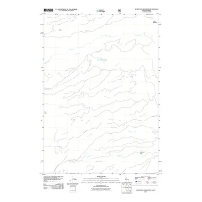 2011 McRenolds Reservoir2011 Print · USGSThe Idaho-Wyoming borderlands at the start of the twenty-first century are defined by the intricate drainages feeding the Teton basin. Researchers can trace the remote roads and hydrologic features of the region, from McRenolds Reservoir and Badger Spring to the high ground of Hovermale Ridge.
 - 2011 Map of Packsaddle Lake, 2011 Print
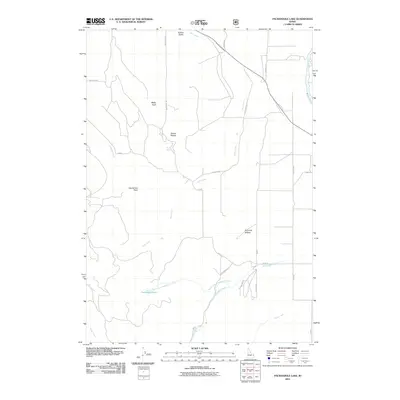 2011 Packsaddle Lake2011 Print · USGSTeton County’s high ridges and river valley come into sharp focus in the early 2010s, showing the transition from mountain peaks to agricultural lands. Trace the routes to Packsaddle Lake, the heights of Susies Nipple, and the waters of the Teton River.
 - 2011 Map of Wright Creek, 2011 Print
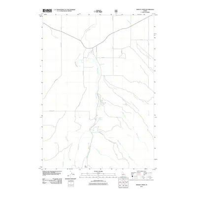 2011 Wright Creek2011 Print · USGSMadison County's rugged drainage networks and geothermal points are captured here in the early twenty-first century. Researchers can trace the path of the Canyon Creek Canal or locate the site of Pincock Hot Springs and Flat Hollow.
 - 2011 Map of Wheaton Mountain, 2011 Print
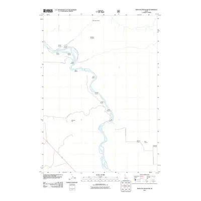 2011 Wheaton Mountain2011 Print · USGSBonneville County high country is documented in detail here during the early twenty-first century. History seekers and locals can trace the remote drainage of Woods Creek and the high elevations surrounding Wheaton Mountain.
 - 2011 Map of Fourth of July Peak, 2011 Print
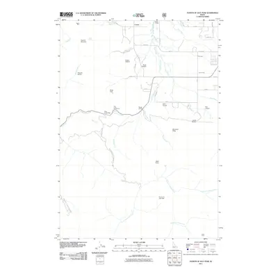 2011 Fourth of July Peak2011 Print · USGSThe Teton County high country and the irrigation headwaters of the valley are captured here just after the turn of the millennium. Local history researchers can trace the vicinity of Cedron, the legacy of the Walton Mine, and the route through Pine Creek Pass.
 - 2013 Map of Clawson, 2013 Print
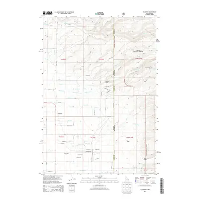 2013 Clawson2013 Print · USGSThe Idaho-Wyoming borderlands are captured here in the early twenty-first century, showing the rural communities of Clawson and Alta. Researchers can trace the extensive irrigation history of Teton Basin through the Haden Canal and Grand Teton Canal.
 - 2013 Map of Drummond, 2013 Print
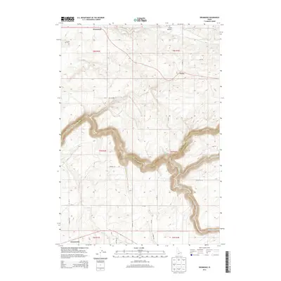 2013 Drummond2013 Print · USGSThe high Idaho plateau meets the canyonlands of the Teton River in this 2013 survey. Genealogists and local historians can locate the Farnum Cem and trace the rural layouts of Drummond, France, and Clementsville.
 - 2013 Map of Driggs, 2013 Print
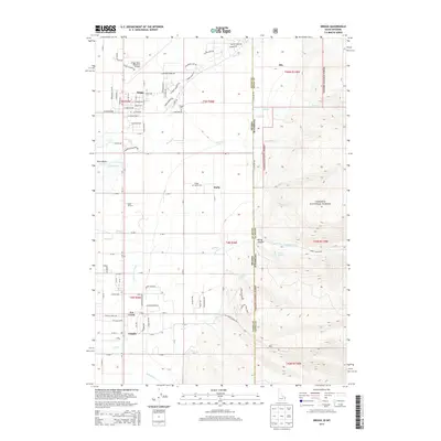 2013 Driggs2013 Print · USGSThe Teton Basin at the Idaho-Wyoming border reveals a landscape of high-altitude ranching and modern mountain growth in the early twenty-first century. Genealogists and local historians can trace family sites at Driggs Cem and Driggs Darby Cem or locate regional landmarks like the Spud Drive-In.
 - 2013 Map of Lamont, 2013 Print
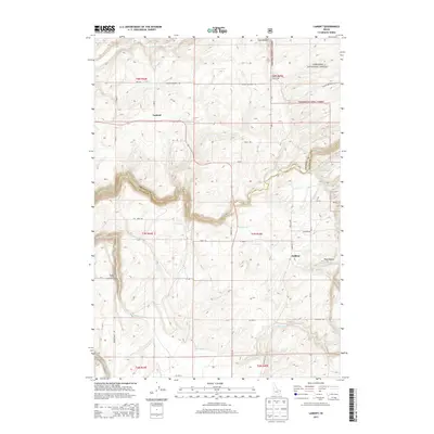 2013 Lamont2013 Print · USGSTeton County's high borderlands are captured here in the early twenty-first century as the landscape shifts from agricultural plains to forest. Researchers can trace local landmarks like Lamont and Judkins, or follow the deep cut of Bitch Creek toward Pole Canyon.
 - 2013 Map of Bates, 2013 Print
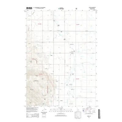 2013 Bates2013 Print · USGSBates and Cedron sit at the foot of the mountains on this Idaho survey from the early 2010s. Genealogists and historians can trace local landmarks like Bates Cem, Cedron Cem, and the river crossings at Buxton Bridge and Bates Bridge.
 - 2013 Map of Tetonia, 2013 Print
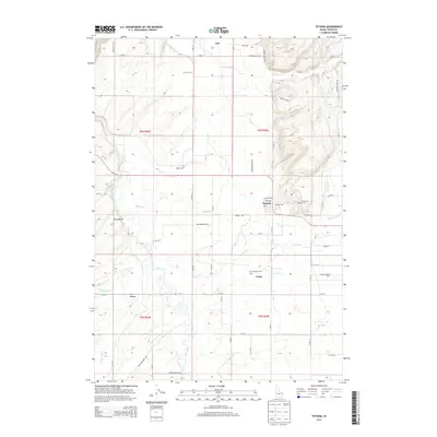 2013 Tetonia2013 Print · USGSTeton County's agricultural heartland is documented here in the early twenty-first century as the high basin remains centered on the Teton River. Researchers can trace local lineage through the Cache Clawson Cem and Haden Cem or explore the irrigation history of the Hog Canal.
 - 2013 Map of Garns Mountain, 2013 Print
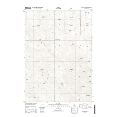 2013 Garns Mountain2013 Print · USGSThe Big Hole Mountains and Targhee National Forest are captured here in the early twenty-first century, showing the complex ridges and canyons of Teton County. Trace high-altitude landmarks and passes like Blacktail Pass, the settlement at Sam, and the historic Old Horseshoe Rd.
 - 2013 Map of Wright Creek, 2013 Print
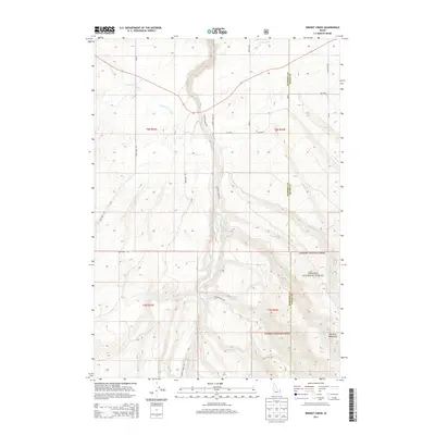 2013 Wright Creek2013 Print · USGSMadison and Teton counties meet in this high-altitude landscape during the early 21st century. Researchers can trace the water infrastructure of the Canyon Creek Canal and locate points of interest like Pincock Hot Springs and the Big Hole Mountains.
 - 2013 Map of Stouts Mountain, 2013 Print
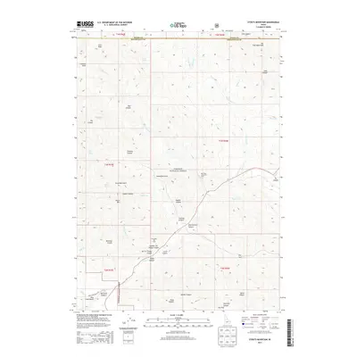 2013 Stouts Mountain2013 Print · USGSThis high-country Idaho landscape at the Teton and Bonneville county line highlights a legacy of recreation and mountain homesteading. Researchers can locate family names and land use through landmarks like Pine Basin Ski Area, West Pine Creek Girls Camp, and Mike Spencer Canyon.
Showing maps 1-25 of 80
Top cities of Teton County
Frequently asked questions
- What are the different types of historical maps available for Teton County?
- What is the oldest map of Teton County?
- Where can I purchase historical maps of Teton County for my home or office?
- Where can I download high-res historical maps of Teton County?
- Are there historical topographic maps available for Teton County?
- Is there historical aerial imagery available for Teton County?
- Where are historical maps of Teton County sourced from?