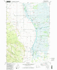
1979 Map of Bates
USGS Topo · Published 1985About this map
The Teton River meanders through the heart of this valley, defining the landscape of the Teton Basin with its intricate network of sloughs and bends. To the west, the terrain rises into the timbered slopes of the Targhee National Forest, where features like Lizard Lake and Mahogany Ridge are accessible only by a system of pack and jeep trails. This 1970s survey captures a rural landscape dominated by small agricultural settlements and natural drainages. Genealogists will find notable burial sites at the Bates Cem and Cedron Cem, serving the communities of Bates, Cedron, and Boquet. The river itself is a focal point of infrastructure, with crossings at Buxton Bridge, Bates Bridge, and White Bridge, alongside named landmarks like Rainbow Bend and Big Bend. These features reflect a period of quiet rural life before the region saw significant modern development.
Find a feature on this map
54 named features on this map. Tap any name to fly to it.
Don’t see what you’re looking for? This feature index may not catch every label — zoom into the map to look around manually.
Map Details
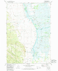
Editions of this 1979 Bates Map
2 editions found
Other maps of this area

1943 · Driggs
USGS Topo · 1:62,500

1943 · Garns Mtn
USGS Topo · 1:62,500

1946 · Driggs
USGS Topo · 1:62,500

1946 · Garns Mtn
USGS Topo · 1:62,500

1955 · Driggs
USGS Topo · 1:250,000

1958 · Driggs
USGS Topo · 1:250,000

1962 · Driggs
USGS Topo · 1:250,000

1965 · Packsaddle Lake
USGS Topo · 1:24,000

1965 · Clawson
USGS Topo · 1:24,000
1965 · Tetonia
USGS Topo · 1:24,000