Old Maps of Buda, Illinois for Academic Research
Study the evolution of Buda with 11 high-resolution historic maps. Whether you're teaching, researching, or modeling changes in land use, these maps provide essential visual documentation of urban, environmental, and geographic change.
- Analyze long-term change: Track patterns in development, transportation, and natural features.
- Ideal for environmental or urban studies: Support academic projects with primary historical map data.
- Use in the classroom or lab: Educators and researchers rely on these maps to bring historical context to life.
These maps are a powerful tool for teaching, research, and visualizing how Buda has changed over the decades.
Buda, IL maps
(11)- 1921 Map of Buda, 1959 Print
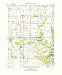 1921 Buda1959 Print · USGSBureau County’s rail-and-water corridors are in full bloom in the 1920s, showing the intersection of heavy industry and small-town life. Trace family roots through dozens of local landmarks like the County Farm, Old Manlius Church, and the Illinois and Mississippi Canal.
 - 1923 Map of Buda
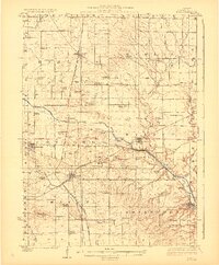 1923 Buda1923 Print · USGSBureau County’s agricultural heartland is captured here in the 1920s, defined by its intensive network of railroads and the Illinois and Mississippi Canal. Genealogists and historians can locate scores of one-room schoolhouses like Hickory Grove School and family-named landmarks such as Cedar Bluff.2 unique versions available
 - 1958 Map of Aurora, 1969 Print
 1958 Aurora1969 Print · USGSNorthern Illinois in the late fifties shows a landscape of powerful river industry and expanding transport corridors. Genealogists and historians can trace the development of Aurora and Joliet or locate sites like the Elwood Ordnance Plant and Starved Rock.3 unique versions available
 - 1961 Map of Aurora
 1961 Aurora1961 Print · USGSNorthern Illinois at the height of the post-war era reveals a landscape of massive industrial works and thriving river towns. Genealogists and historians can trace the paths of the Lincoln Highway or locate long-standing landmarks like the Green River Ordnance Plant and Starved Rock State Park.
 - 1983 Map of Buda, 1984 Print
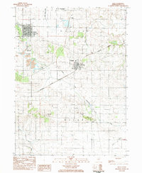 1983 Buda1984 Print · USGSBuda and Sheffield were bustling rail junctions in the early 1980s, serving the productive farm townships of Bureau County. Genealogists can trace family names through numerous rural sites like Wood Cem, Walnut Grove Cem, and Bunker Hill Ch.
 - 1985 Map of Kewanee
 1985 Kewanee1985 Print · USGSNorth-central Illinois in the mid-eighties shows a landscape of river-valley industry and prairie transit. Researchers can trace family roots through Evergreen Memory Garden or follow the historic Hennepin Canal past Tiskilwa and Wyanet.2 unique versions available
 - 2012 Map of Buda, 2012 Print
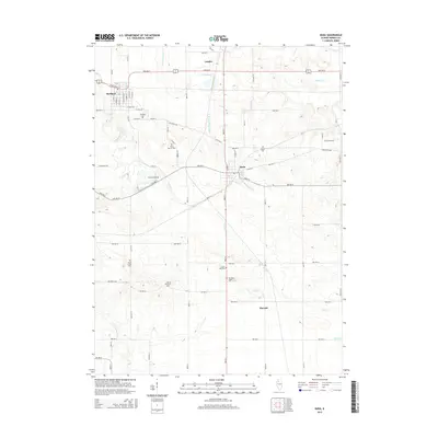
 2012 Buda2012 Print · USGSCovers Buda, including Sheffield, Burnett, and other nearby areas
 - 2015 Map of Buda, 2015 Print
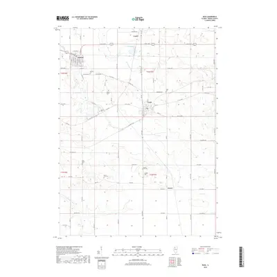
 2015 Buda2015 Print · USGSCovers Buda, including Sheffield, Burnett, and other nearby areas
 - 2018 Map of Buda, 2018 Print
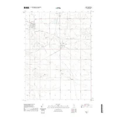
 2018 Buda2018 Print · USGSCovers Buda, including Sheffield, Burnett, and other nearby areas
 - 2021 Map of Buda, 2021 Print
 2021 Buda2021 Print · USGSCovers Buda, including Sheffield, Burnett, and other nearby areas
 - 2024 Map of Buda, 2024 Print
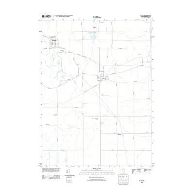
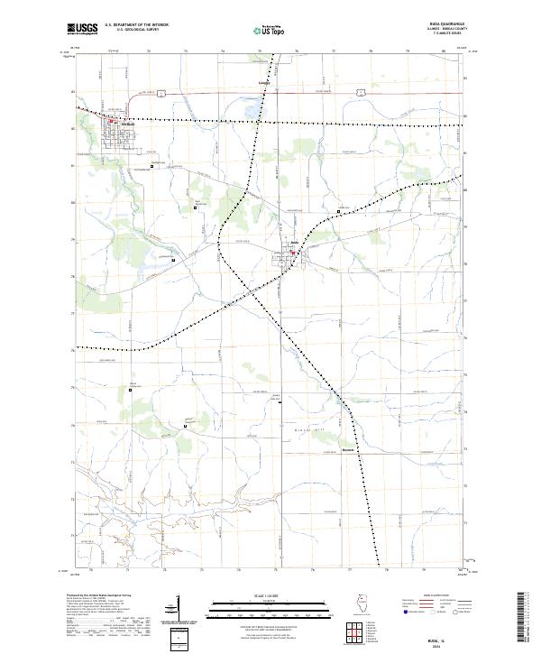 2024 Buda2024 Print · USGSBureau County townships like Buda and Sheffield remain defined by their agricultural roots and deep family histories. Genealogists can trace local lineages through numerous rural burial sites including Saint Patrick Cem, Walnut Grove Cem, and Wood Family Cem.
End of results
Showing maps 1-11 of 11
Top cities near Buda
- Kewanee historical maps
- Princeton historical maps
- Walnut historical maps
- Osceola historical maps
- Sheffield historical maps
- Annawan historical maps
See more
Frequently asked questions
- What are the different types of historical maps available for Buda?
- What is the oldest map of Buda?
- Where can I purchase historical maps of Buda for my home or office?
- Where can I download high-res historical maps of Buda?
- Are there historical topographic maps available for Buda?
- Is there historical aerial imagery available for Buda?
- Where are historical maps of Buda sourced from?