Old Maps of Malden, Illinois for Metal Detecting
Plan your next treasure hunt with 18 historic maps of Malden. Find old homesites, ghost towns, trails, and gathering spots that may be lost to time — perfect for identifying promising metal detecting locations.
- Locate forgotten sites: Uncover places like long-lost settlements, abandoned rail lines, or gathering spots.
- Plan better hunts: Use map overlays combined with LiDAR or satellite views to narrow in on historically rich areas.
- Made for detectorists: Thousands of hobbyists use these maps to discover relics, coins, and hidden history.
Use these historic maps to boost your research and find new opportunities beneath the surface of Malden.
Malden, IL maps
(18)- 1893 Map of Hennepin
 1893 Hennepin1893 Print · USGSBureau County and the Illinois River valley are captured here in the late nineteenth century as the rail network reached its peak. Genealogists and historians can trace the early footprints of Princeton, Bureau Junction, and Tiskilwa along the major trunk lines of the era.2 unique versions available
 - 1909 Map of Hennepin
 1909 Hennepin1909 Print · USGSNorth-central Illinois at the height of the railroad era is displayed here, centered on the river valleys of Putnam and Bureau counties. Genealogists can locate family landmarks such as the County Farm, Berean Church, and schools like Highland School.
 - 1911 Map of Hennepin
 1911 Hennepin1911 Print · USGSThe Illinois River valley and the railroad hub of Princeton are captured here at the height of the steam era. Genealogists and historians can trace family locations near the Highland School, Berean Church, and early village sites like Tiskilwa and Hallowayville.2 unique versions available
 - 1958 Map of Aurora, 1969 Print
 1958 Aurora1969 Print · USGSNorthern Illinois in the late fifties shows a landscape of powerful river industry and expanding transport corridors. Genealogists and historians can trace the development of Aurora and Joliet or locate sites like the Elwood Ordnance Plant and Starved Rock.3 unique versions available
 - 1961 Map of Aurora
 1961 Aurora1961 Print · USGSNorthern Illinois at the height of the post-war era reveals a landscape of massive industrial works and thriving river towns. Genealogists and historians can trace the paths of the Lincoln Highway or locate long-standing landmarks like the Green River Ordnance Plant and Starved Rock State Park.
 - 1966 Map of Malden, 1967 Print
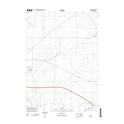
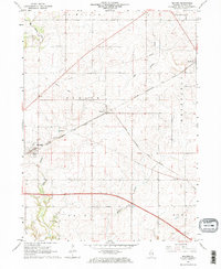 1966 Malden1967 Print · USGSBureau County at the height of the mid-sixties reveals a landscape defined by industrial rail lines and small prairie villages. Genealogists and historians can trace family-named lands near Berean Cem, the village of Malden, and the Old Railroad Grade.2 unique versions available
 - 1966 Map of Princeton North, 1968 Print
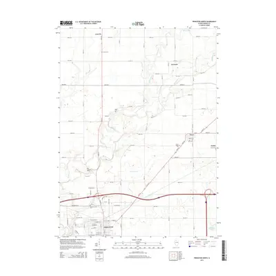
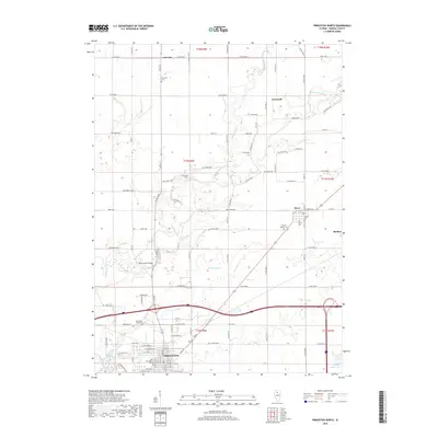
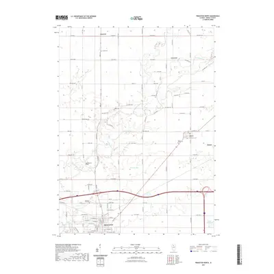
 1966 Princeton North1968 Print · USGSBureau County transitioned into the late sixties as a thriving rail and agricultural hub centered on the city of Princeton. Researchers can locate numerous vanished landmarks and family burial sites like Stoner Cem, the local Covered Bridge, and the Old RR Grade.2 unique versions available
 - 1985 Map of Kewanee
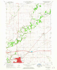
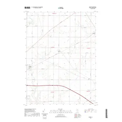
 1985 Kewanee1985 Print · USGSNorth-central Illinois in the mid-eighties shows a landscape of river-valley industry and prairie transit. Researchers can trace family roots through Evergreen Memory Garden or follow the historic Hennepin Canal past Tiskilwa and Wyanet.2 unique versions available
 - 2012 Map of Princeton North, 2012 Print
 2012 Princeton North2012 Print · USGSCovers Malden, including Princeton, Dover, and other nearby areas
 - 2012 Map of Malden, 2012 Print
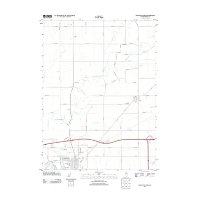
 2012 Malden2012 Print · USGSCovers Malden, including Arlington, Zearing, and other nearby areas
 - 2015 Map of Princeton North, 2015 Print
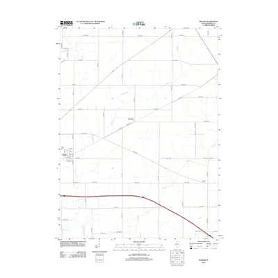
 2015 Princeton North2015 Print · USGSCovers Malden, including Princeton, Dover, and other nearby areas
 - 2015 Map of Malden, 2015 Print
 2015 Malden2015 Print · USGSCovers Malden, including Arlington, Zearing, and other nearby areas
 - 2018 Map of Princeton North, 2018 Print
 2018 Princeton North2018 Print · USGSCovers Malden, including Princeton, Dover, and other nearby areas
 - 2018 Map of Malden, 2018 Print
 2018 Malden2018 Print · USGSCovers Malden, including Arlington, Zearing, and other nearby areas
 - 2021 Map of Princeton North, 2021 Print
 2021 Princeton North2021 Print · USGSCovers Malden, including Princeton, Dover, and other nearby areas
 - 2021 Map of Malden, 2021 Print
 2021 Malden2021 Print · USGSCovers Malden, including Arlington, Zearing, and other nearby areas
 - 2024 Map of Malden, 2024 Print
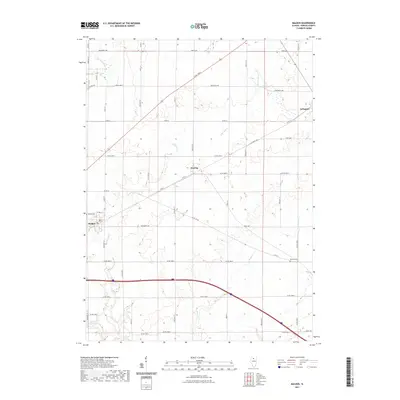
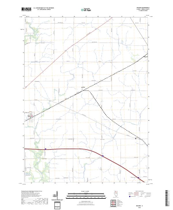 2024 Malden2024 Print · USGSThe agricultural heart of Bureau County is documented here in the early 2020s, showing a landscape shaped by prairie tributaries and crossroads. Researchers can trace local heritage through sites like Malden Cem, Arlington, and the rural community at Zearing.
 - 2024 Map of Princeton North, 2024 Print
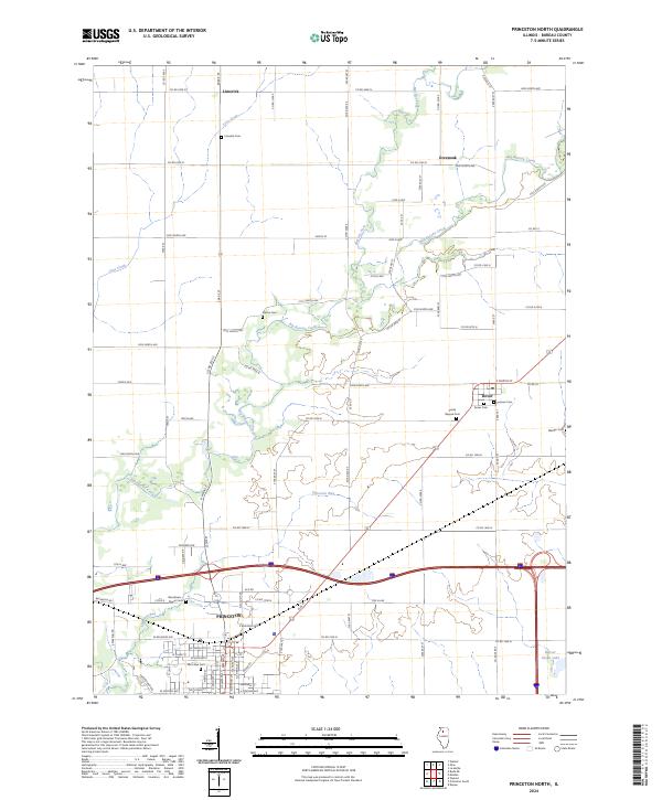 2024 Princeton North2024 Print · USGSThe northern reaches of Princeton and the surrounding Bureau County countryside are captured here in the 2020s. Genealogists can locate numerous family and community sites including Prairie Repose Cem, Limerick Cem, and Pioneer Cem.
End of results
Showing maps 1-18 of 18
Top cities near Malden
- Peru historical maps
- Princeton historical maps
- Mendota historical maps
- Spring Valley historical maps
- Walnut historical maps
- Granville historical maps
See more
Frequently asked questions
- What are the different types of historical maps available for Malden?
- What is the oldest map of Malden?
- Where can I purchase historical maps of Malden for my home or office?
- Where can I download high-res historical maps of Malden?
- Are there historical topographic maps available for Malden?
- Is there historical aerial imagery available for Malden?
- Where are historical maps of Malden sourced from?