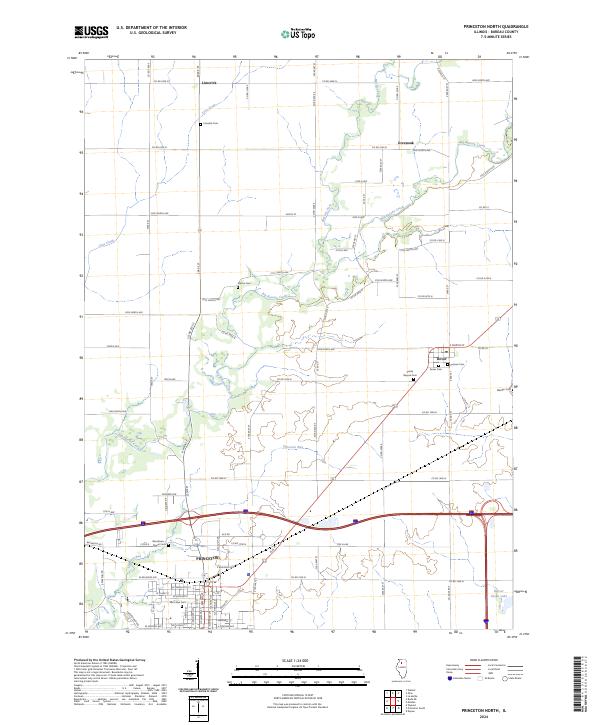
2024 Map of Princeton North
USGS Topo · Published 2024About this map
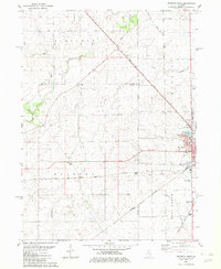
Princeton and its northern rural townships are defined by a network of agricultural roads and the winding path of Big Bureau Creek. This area of Illinois reflects a deeply rooted settlement pattern, where small communities like Limerick and Dover anchor a landscape dotted with numerous historic burial grounds. The frequency of sites such as Prairie Repose Cem, Woodlawn Stoner Cem, and Pioneer Cem suggests a rich genealogical record for the county.
Find a feature on this map
63 named features on this map. Tap any name to fly to it.
Don’t see what you’re looking for? This feature index may not catch every label — zoom into the map to look around manually.
Map Details
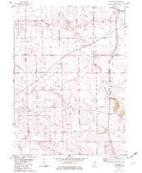
Editions of this 2024 Princeton North Map
This is the sole edition of this map. No revisions or reprints were ever made.
Historical Maps of Malden Through Time
14 maps found
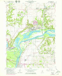
1966 Depue
Bureau County, IL
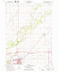
1966 Princeton North
Bureau County, IL
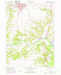
1966 Princeton South
Bureau County, IL
1982 Mendota West
Bureau County, IL
1982 Yorktown
Bureau County, IL
1983 Buda NE
Bureau County, IL
1983 Whitefield
Bureau County, IL
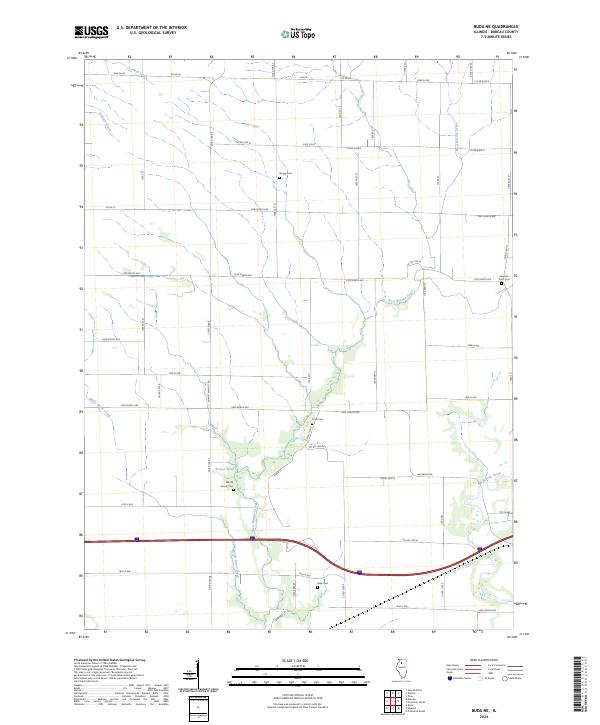
2024 Buda NE
Bureau County, IL
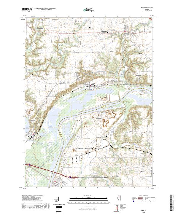
2024 Depue
Bureau County, IL
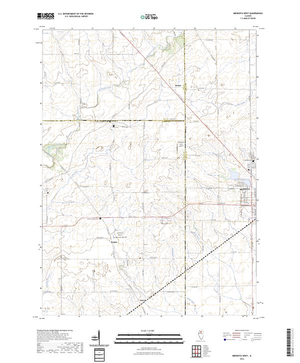
2024 Mendota West
Bureau County, IL
2024 Princeton North
Bureau County, IL
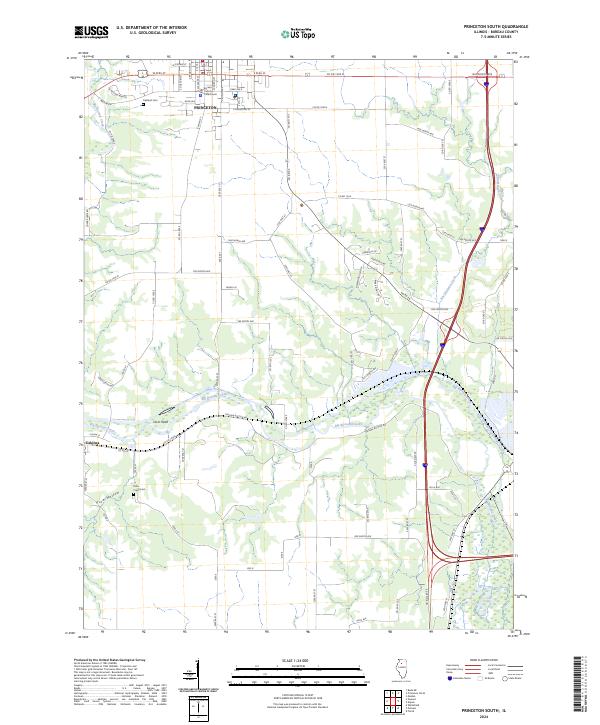
2024 Princeton South
Bureau County, IL
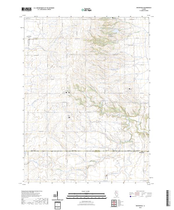
2024 Whitefield
Bureau County, IL
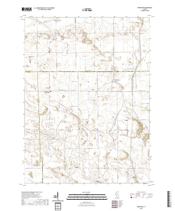
2024 Yorktown
Bureau County, IL