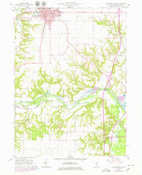
1966 Map of Princeton South
USGS Topo · Published 1979About this map
Princeton serves as the focal point for this mid-1960s survey, showing the town's expansion southward toward the winding path of Big Bureau Creek. The landscape reflects a transition from the urban grid of the county seat, featuring local landmarks like the Courthouse and Perry Hospital, to the complex waterway systems of Arispie township. A significant historical corridor is preserved here in the form of the Illinois and Mississippi Canal (Abandoned), which runs parallel to the Chicago Rock Island and Pacific railroad, illustrating the shift from early canal transport to the dominance of rail and later motor travel via local routes.
Find a feature on this map
30 named features on this map. Tap any name to fly to it.
Don’t see what you’re looking for? This feature index may not catch every label — zoom into the map to look around manually.
Map Details
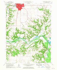
Editions of this 1966 Princeton South Map
2 editions found
Other maps of this area

1893 · Lacon
USGS Topo · 1:62,500

1893 · Hennepin
USGS Topo · 1:62,500

1909 · Hennepin
USGS Topo · 1:62,500

1911 · Hennepin
USGS Topo · 1:62,500

1921 · Buda
USGS Topo · 1:62,500

1923 · Buda
USGS Topo · 1:62,500

1933 · Lacon
USGS Topo · 1:62,500

1933 · Camp Grove
USGS Topo · 1:48,000

1937 · Lacon
USGS Topo · 1:62,500

1945 · Bradford
USGS Topo · 1:62,500